




CUET PG 2026 Soil Science Question Paper is available for download here. The National Testing Agency (NTA) conducted the CUET PG 2026 Soil Science (SCQP26) examination on March 11, 2026, during Shift 1 from 09:00 AM to 10:30 AM.
CUET PG 2026 Soil Science Question Paper with Solutions PDF
| CUET PG 2026 Soil Science Question Paper | Download PDF | Check Solutions |
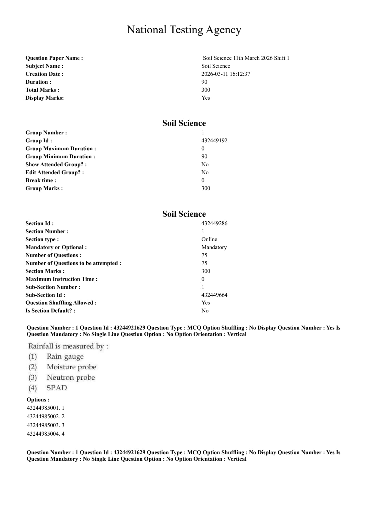
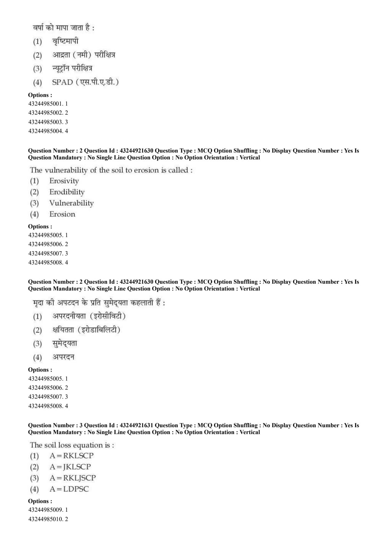
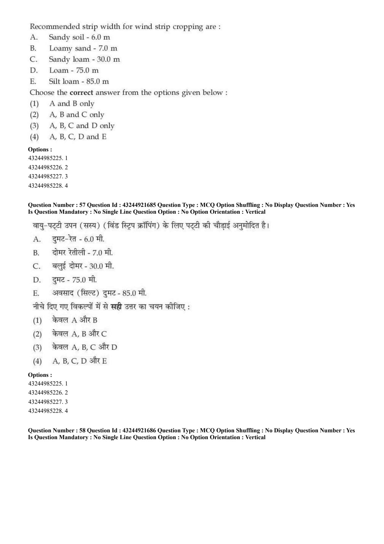
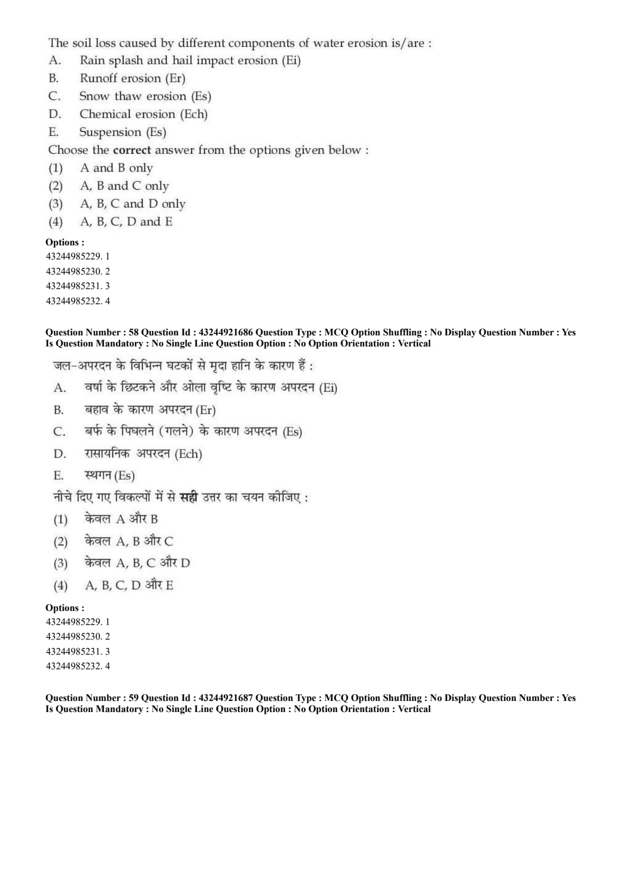
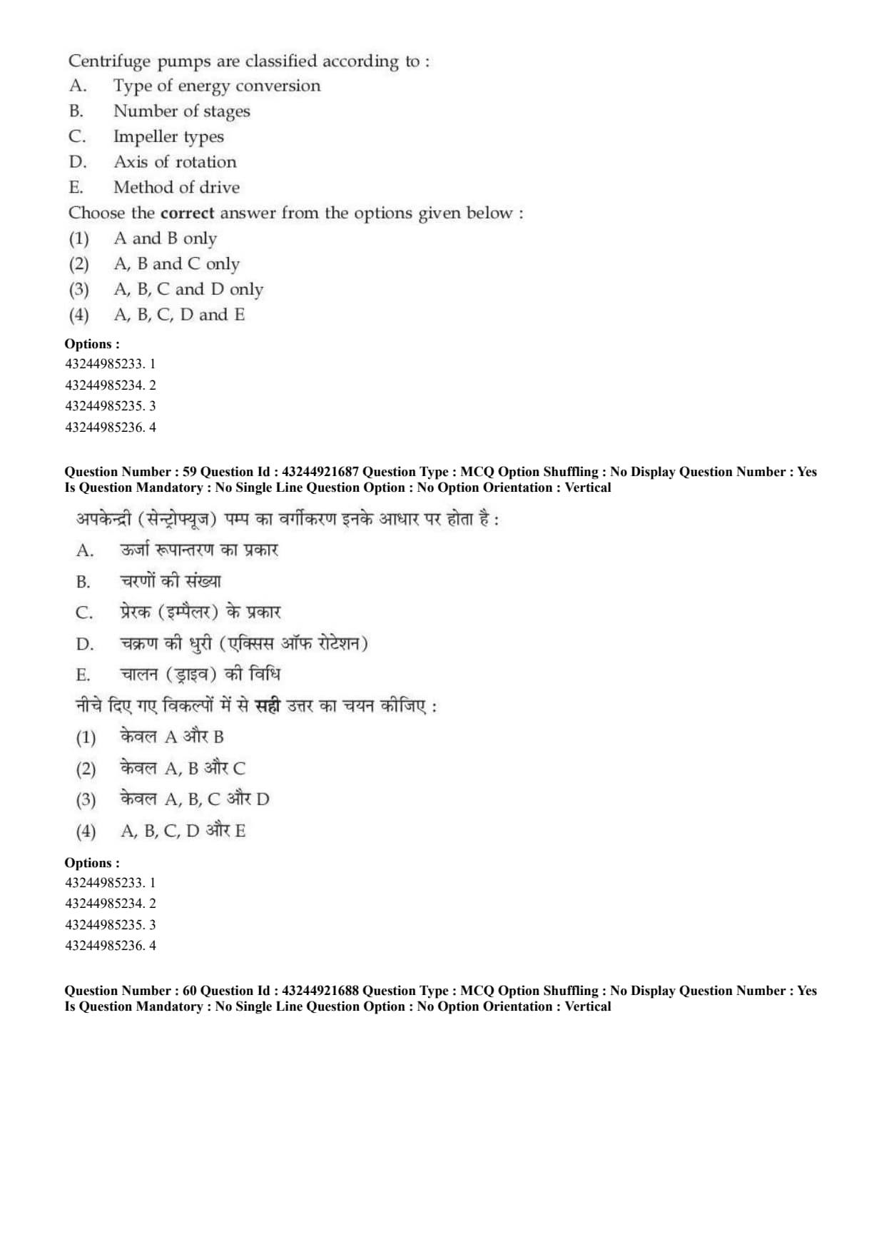
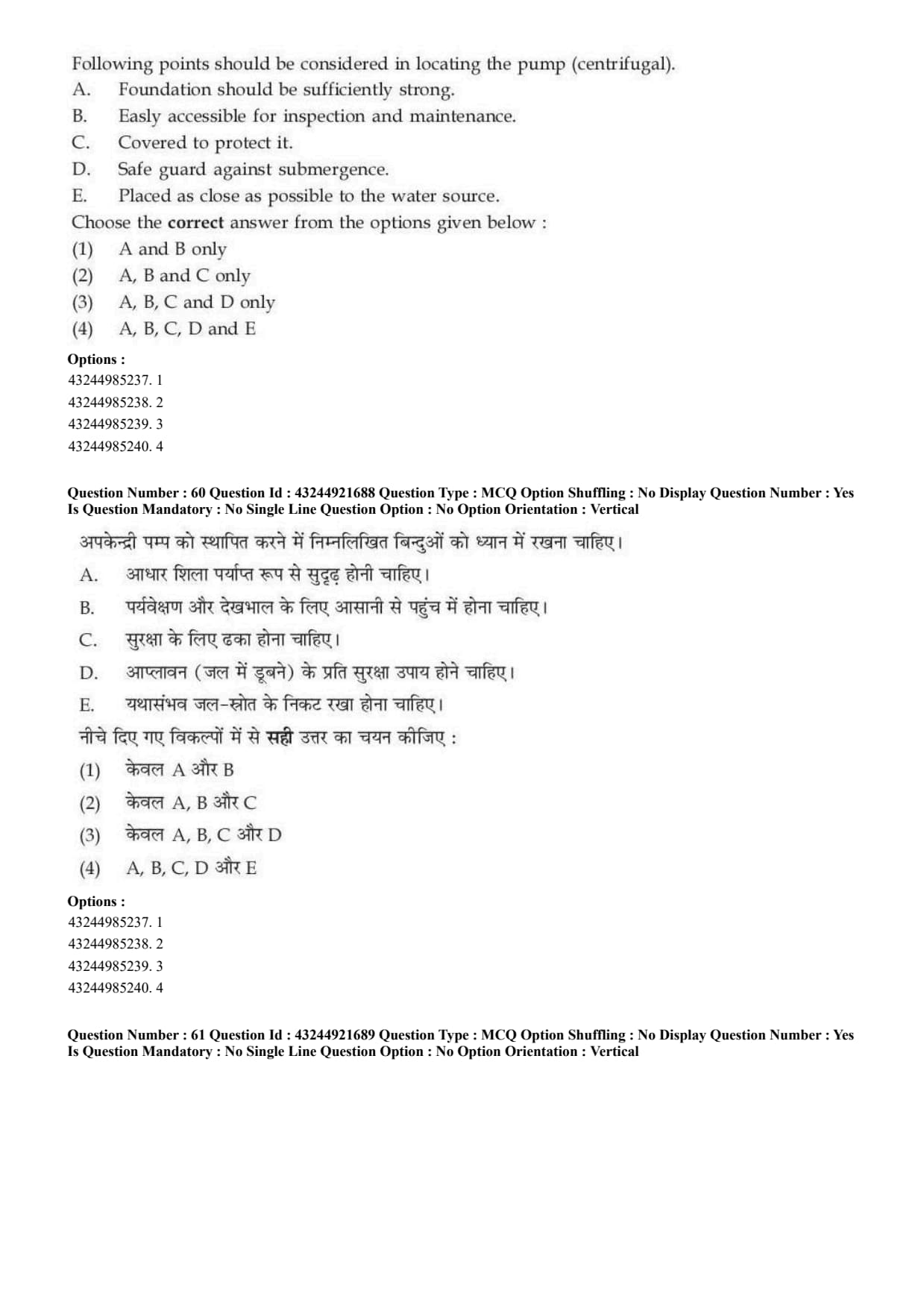
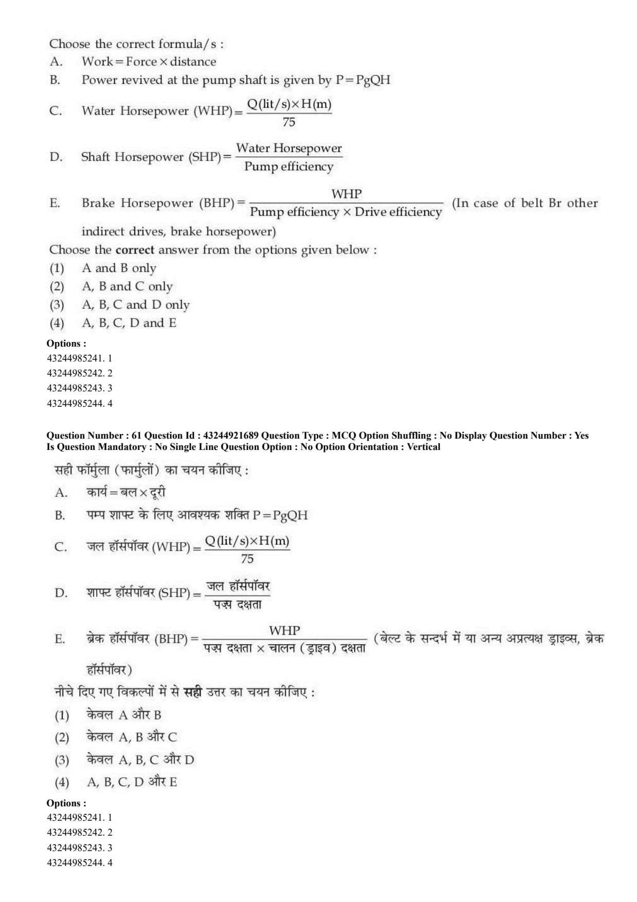
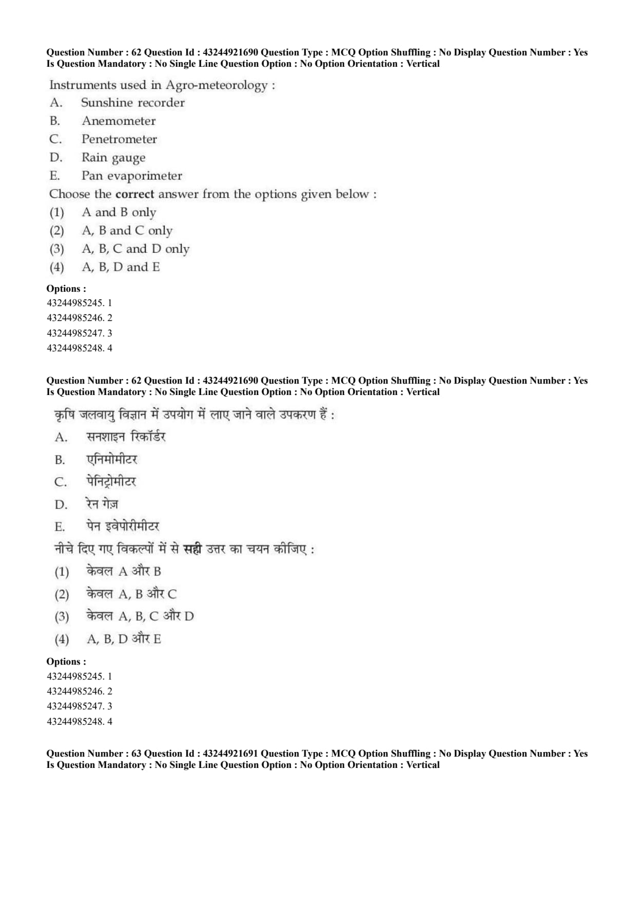
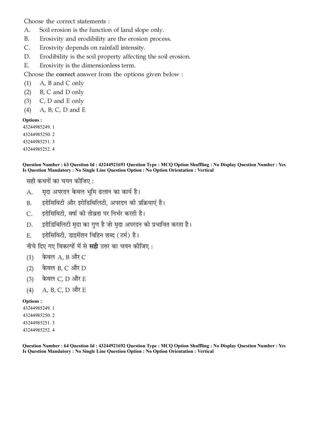
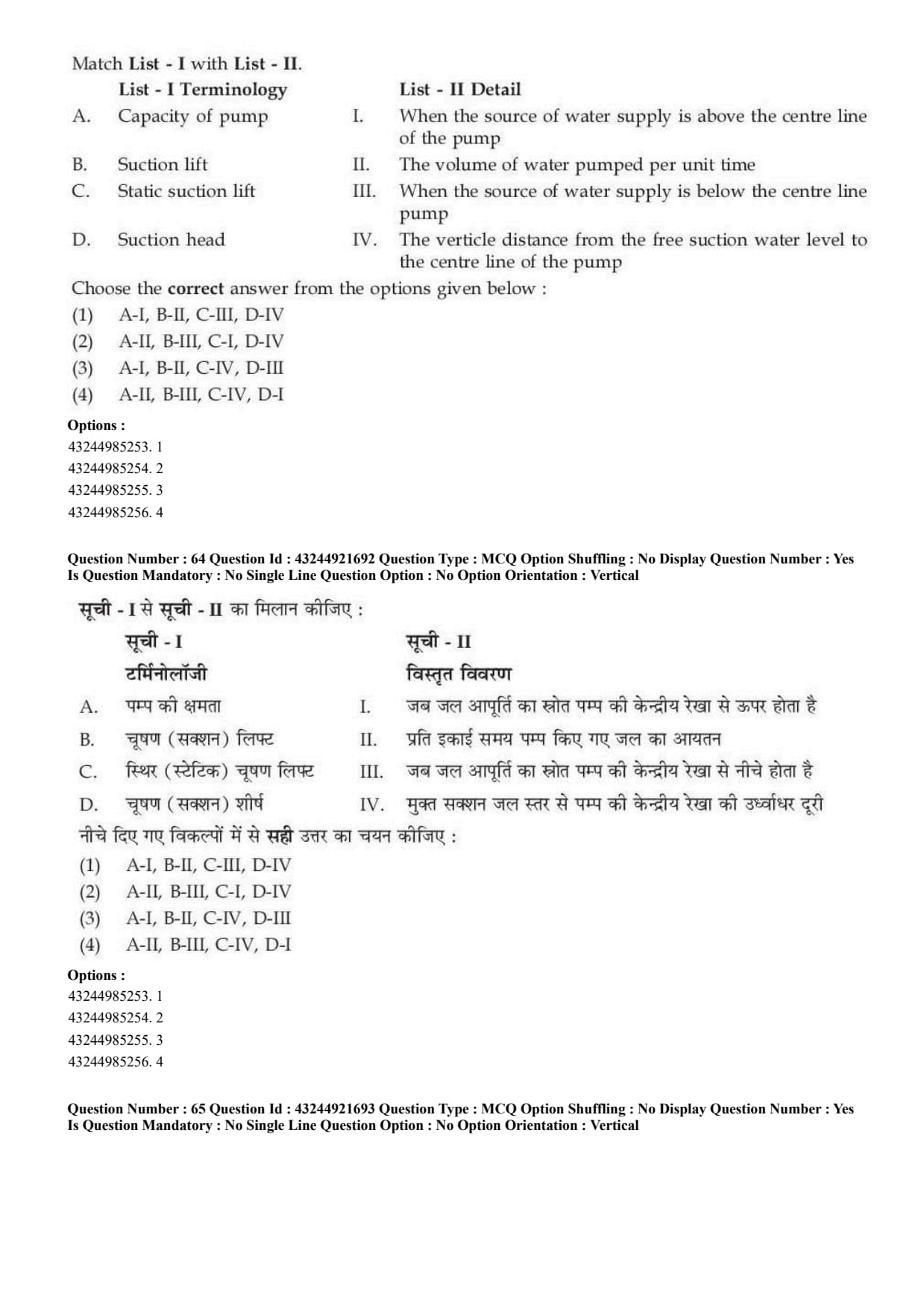
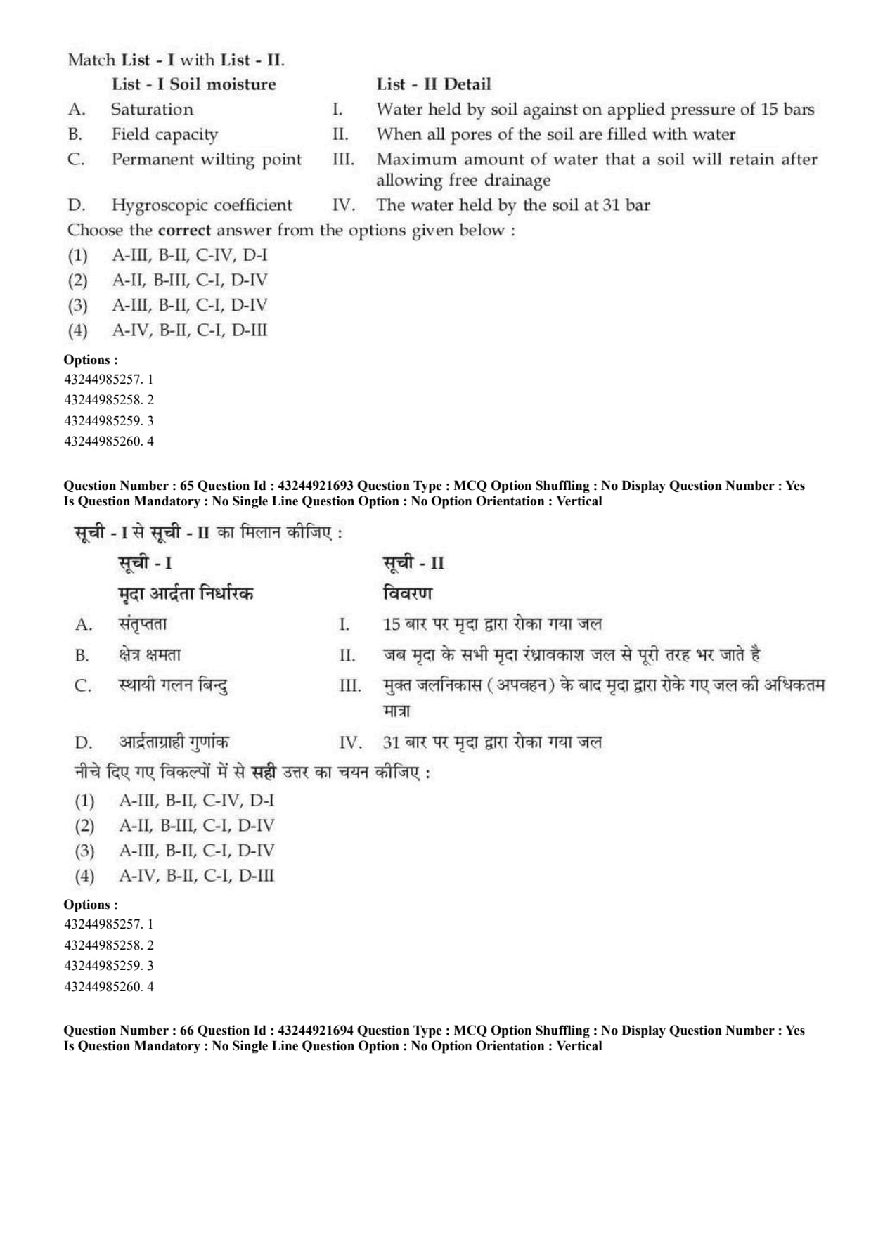
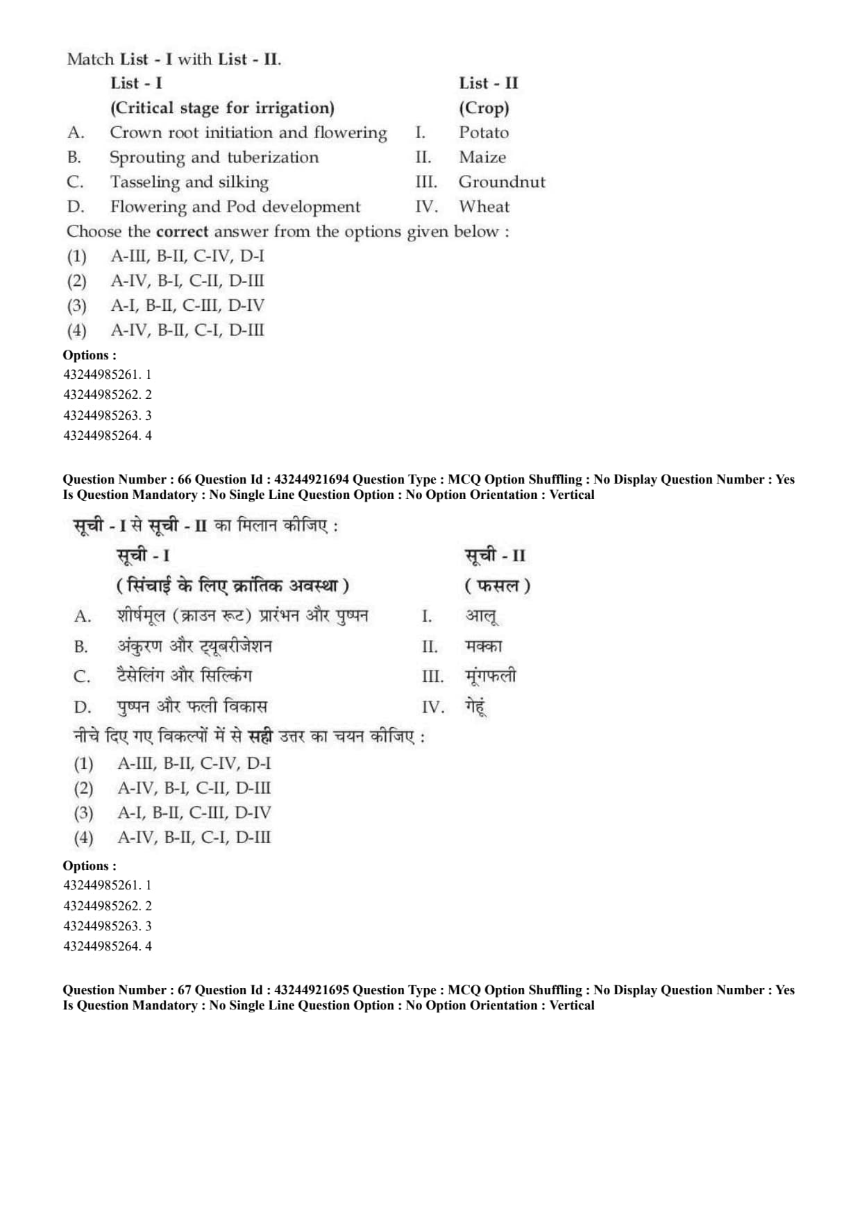
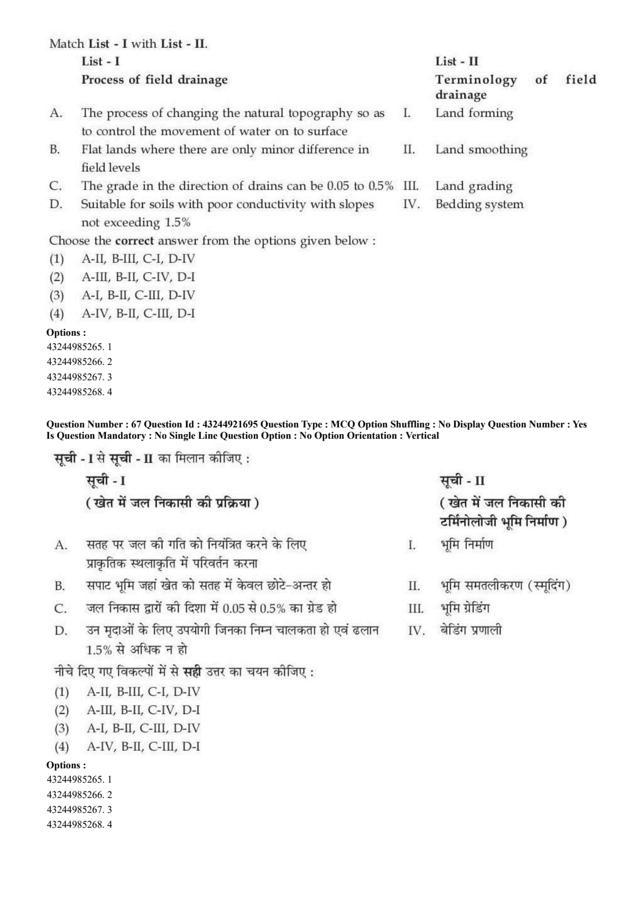
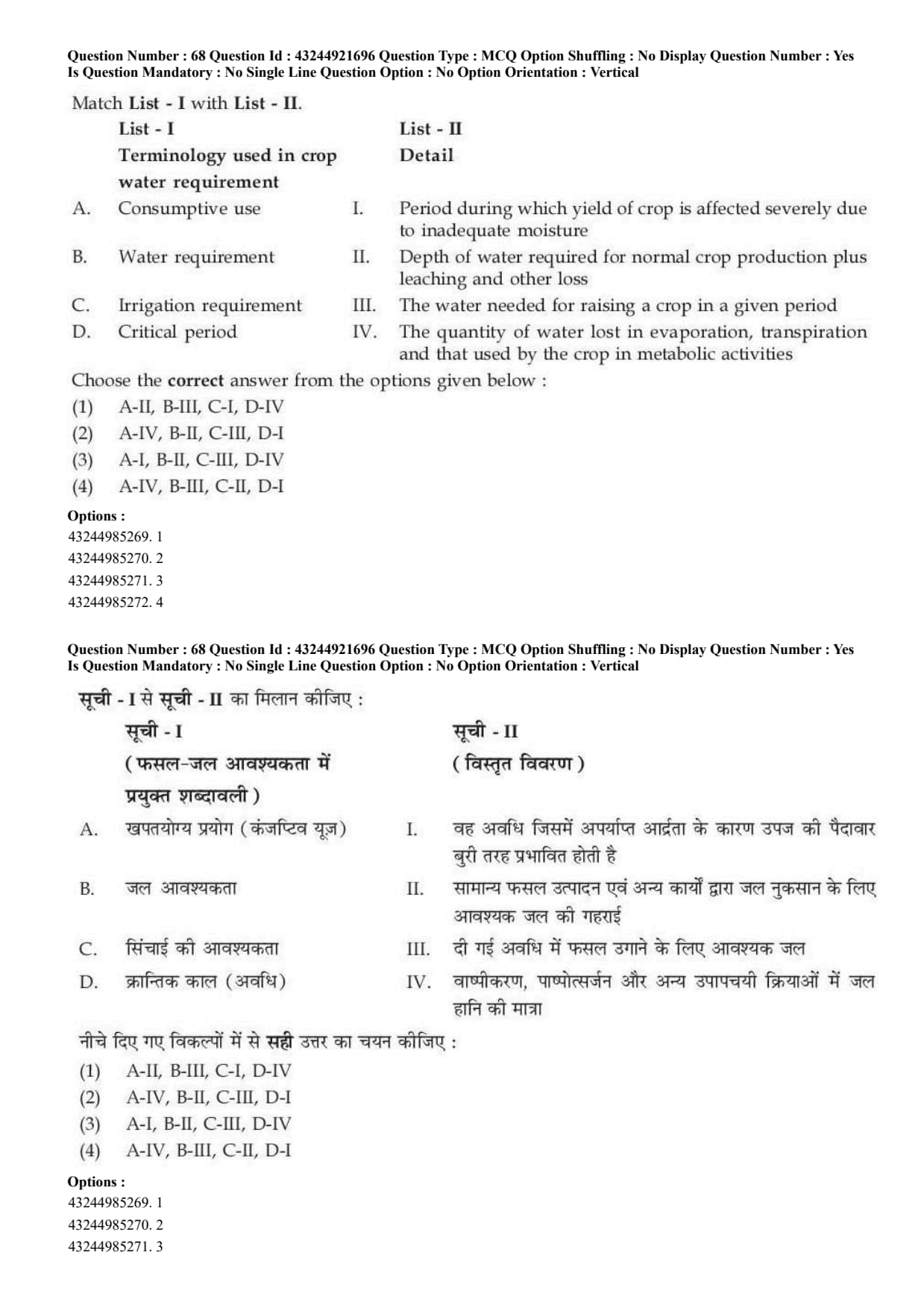
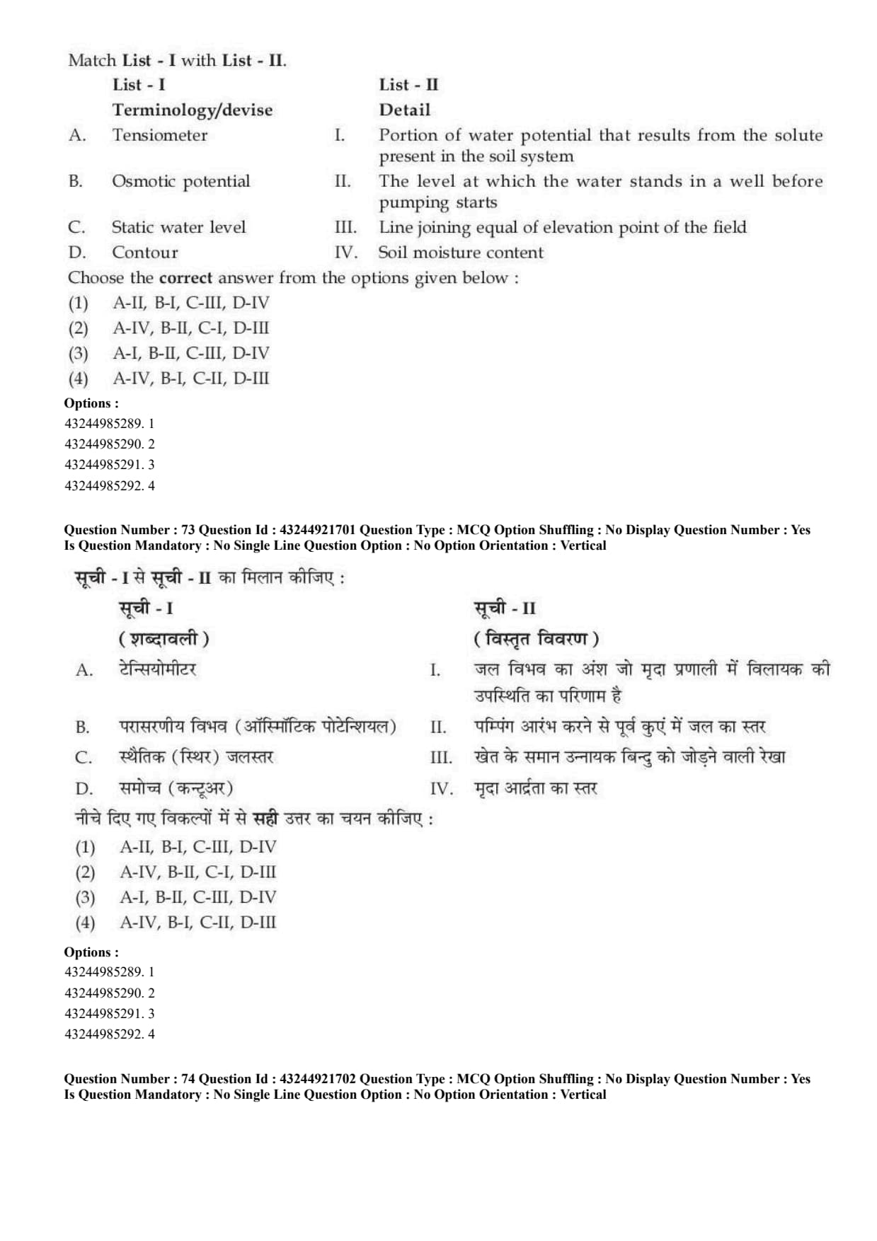
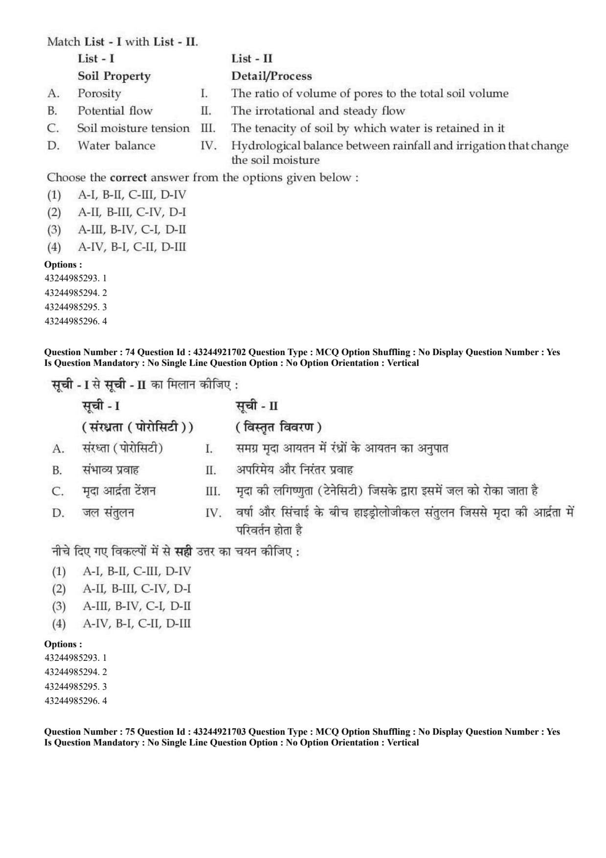
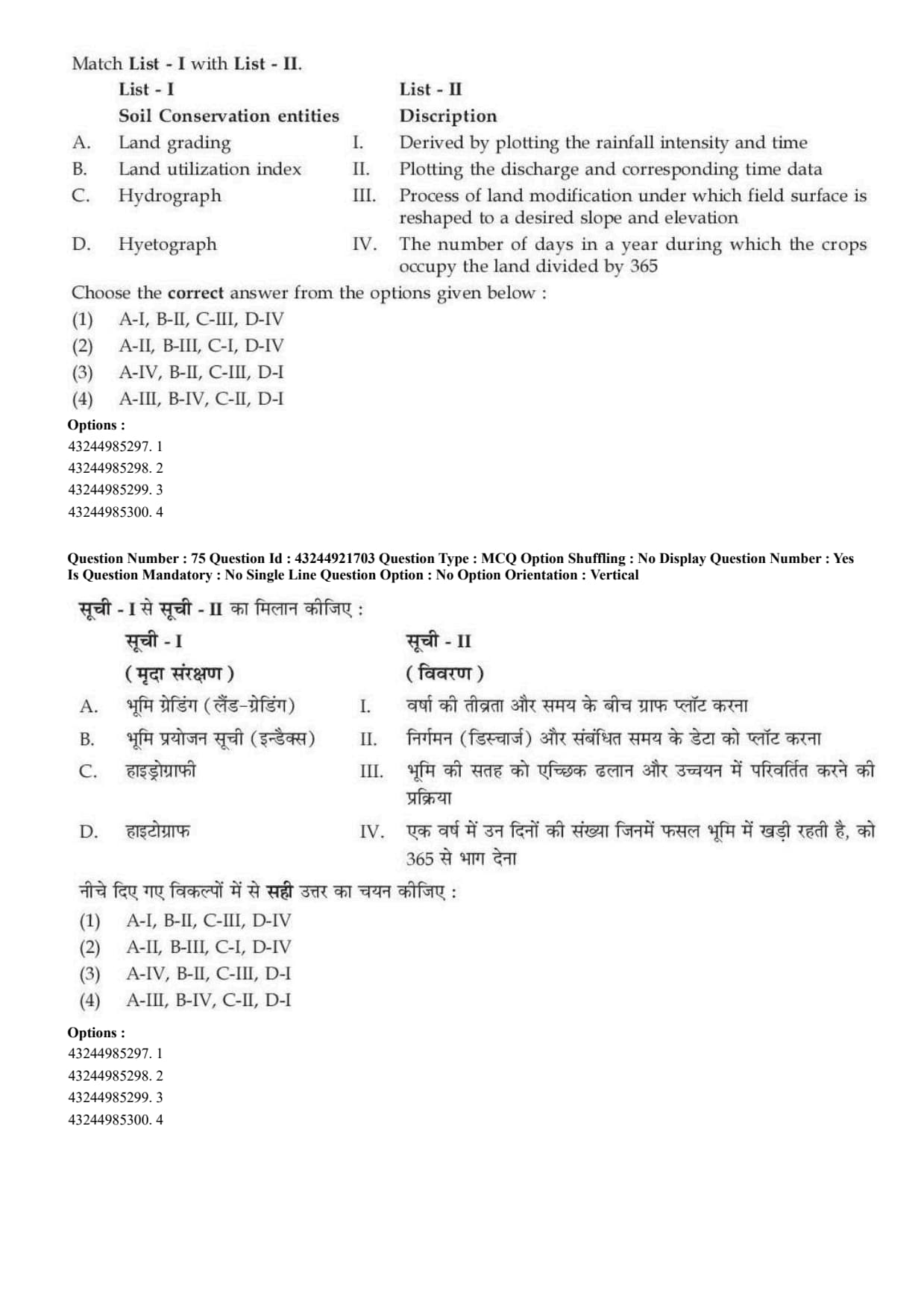
Rainfall is measured by:
The vulnerability of the soil to erosion is called:
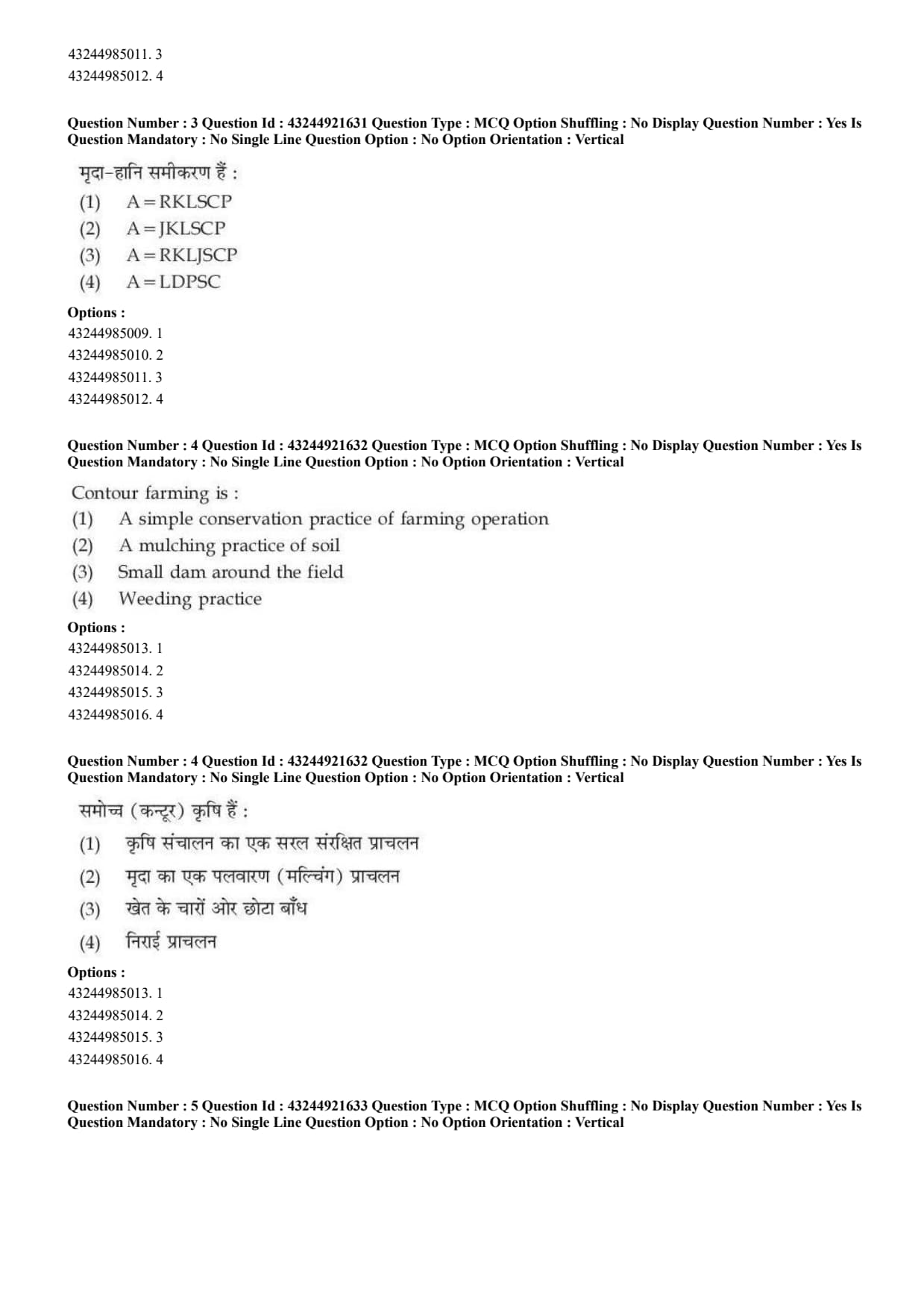
The soil loss equation is:
Contour farming is:
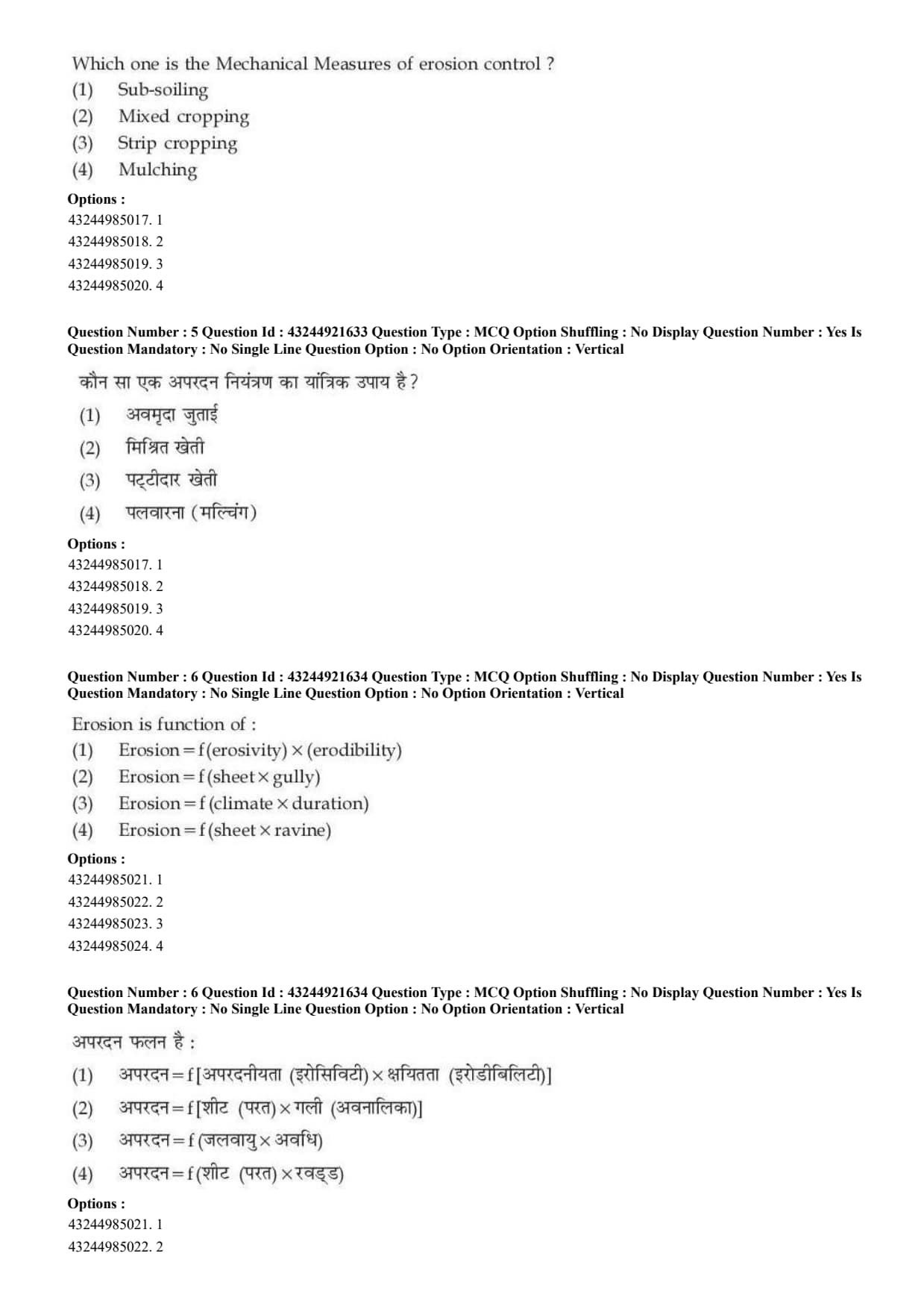
Which one is the mechanical measure of erosion control?
Erosion is function of:
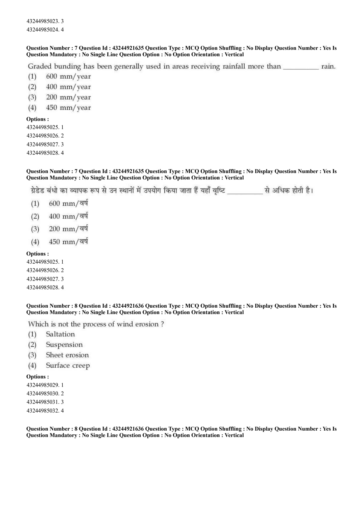
Graded bunding has been generally used in areas receiving rainfall more than \hspace{1cm} rain.
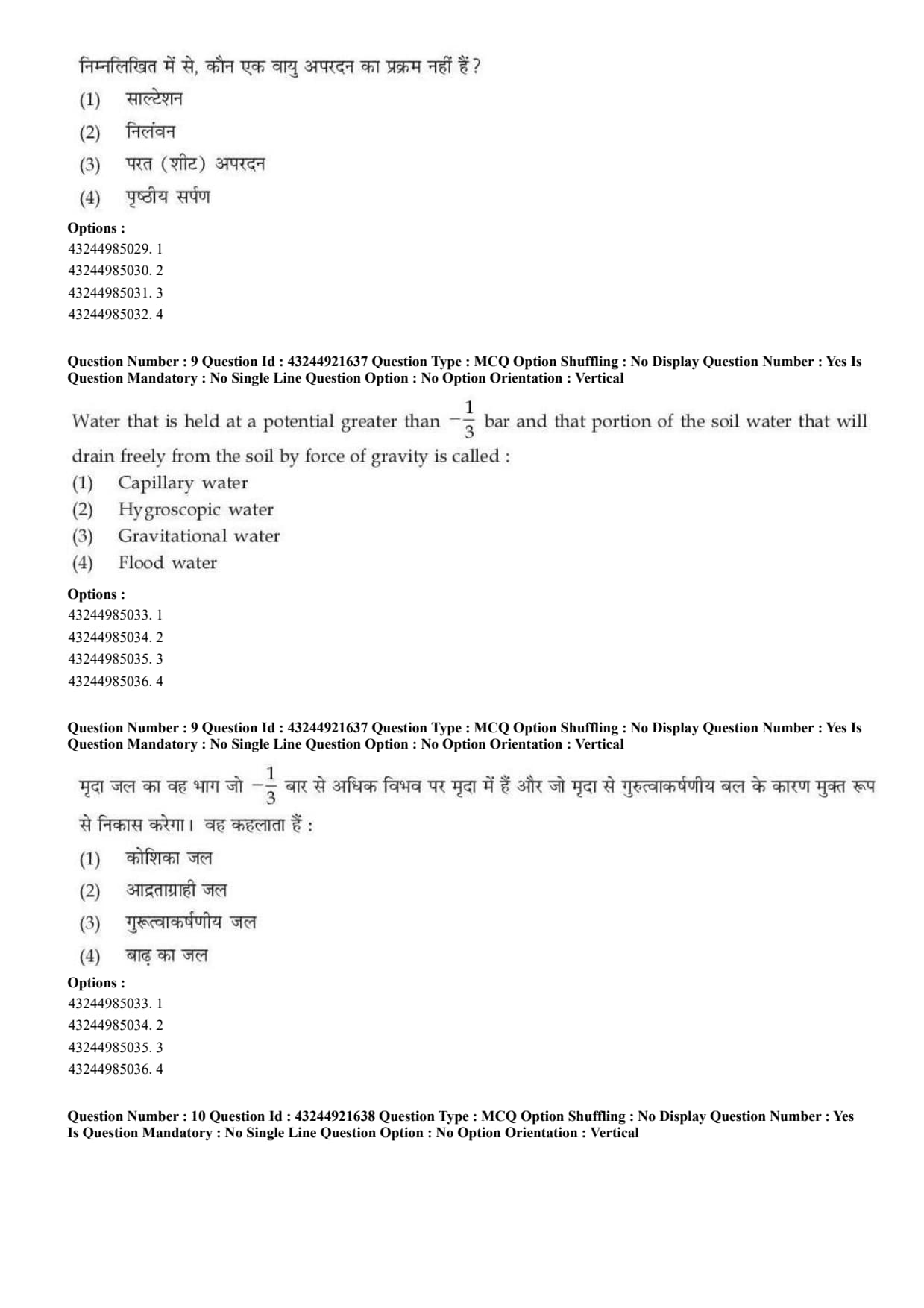
Which is not the process of wind erosion?
Water that is held at a potential greater than \(-\frac{1}{3}\) bar and that portion of soil water that will drain freely from the soil by force of gravity is called:
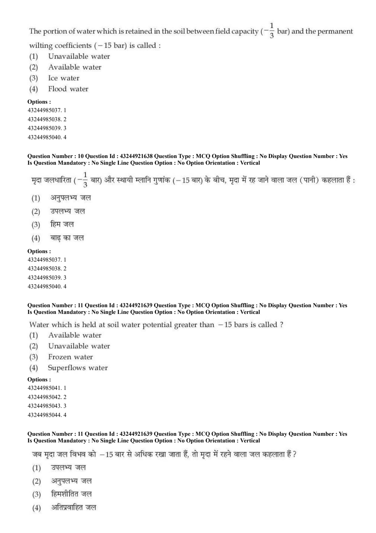
The portion of water which is retained in the soil between field capacity \(\left(-\frac{1}{3}\ bar\right)\) and the permanent wilting coefficient \((-15\ bar)\) is called:
Water which is held at soil water potential greater than \(-15\) bars is called:
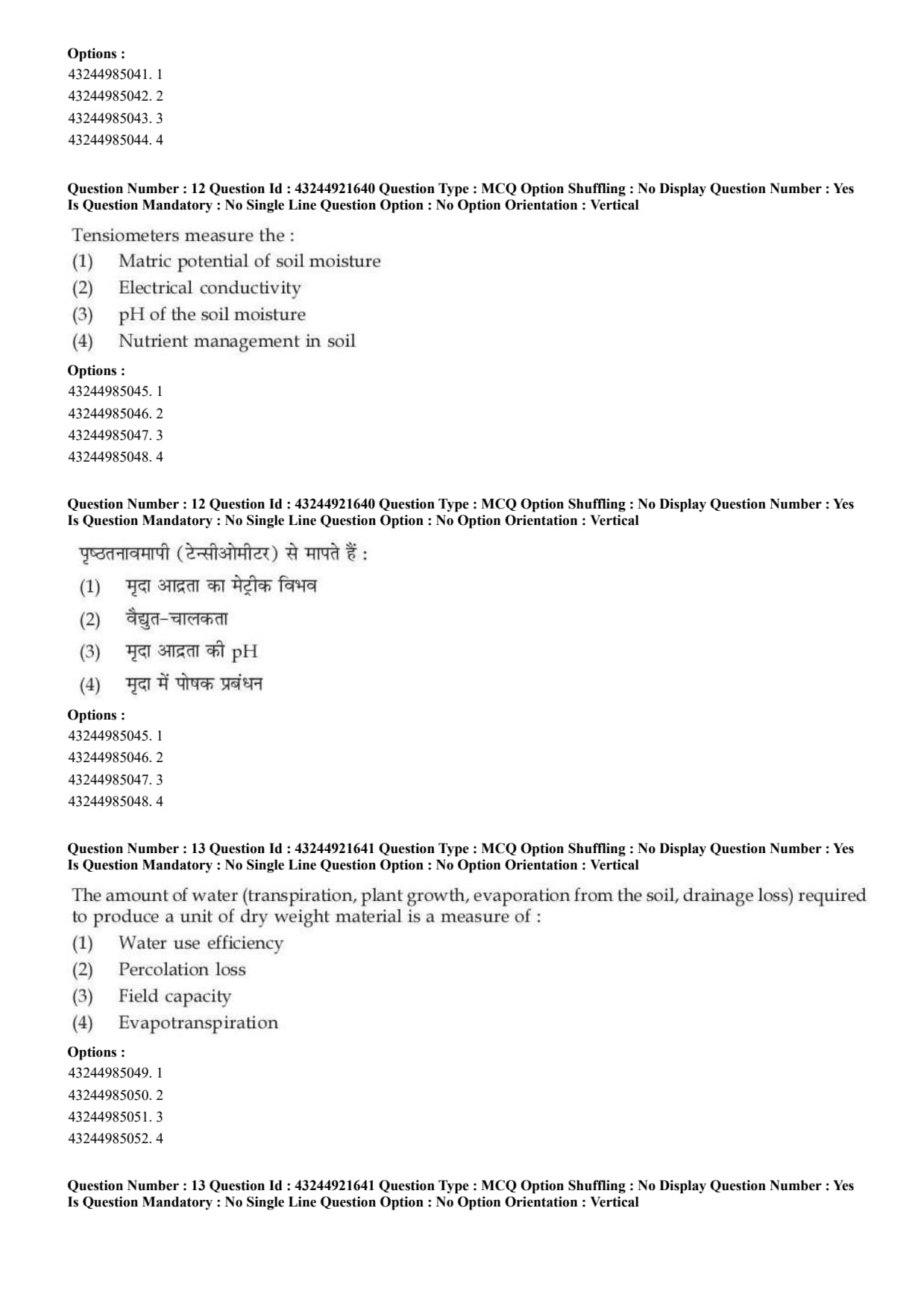
Tensiometers measure the:
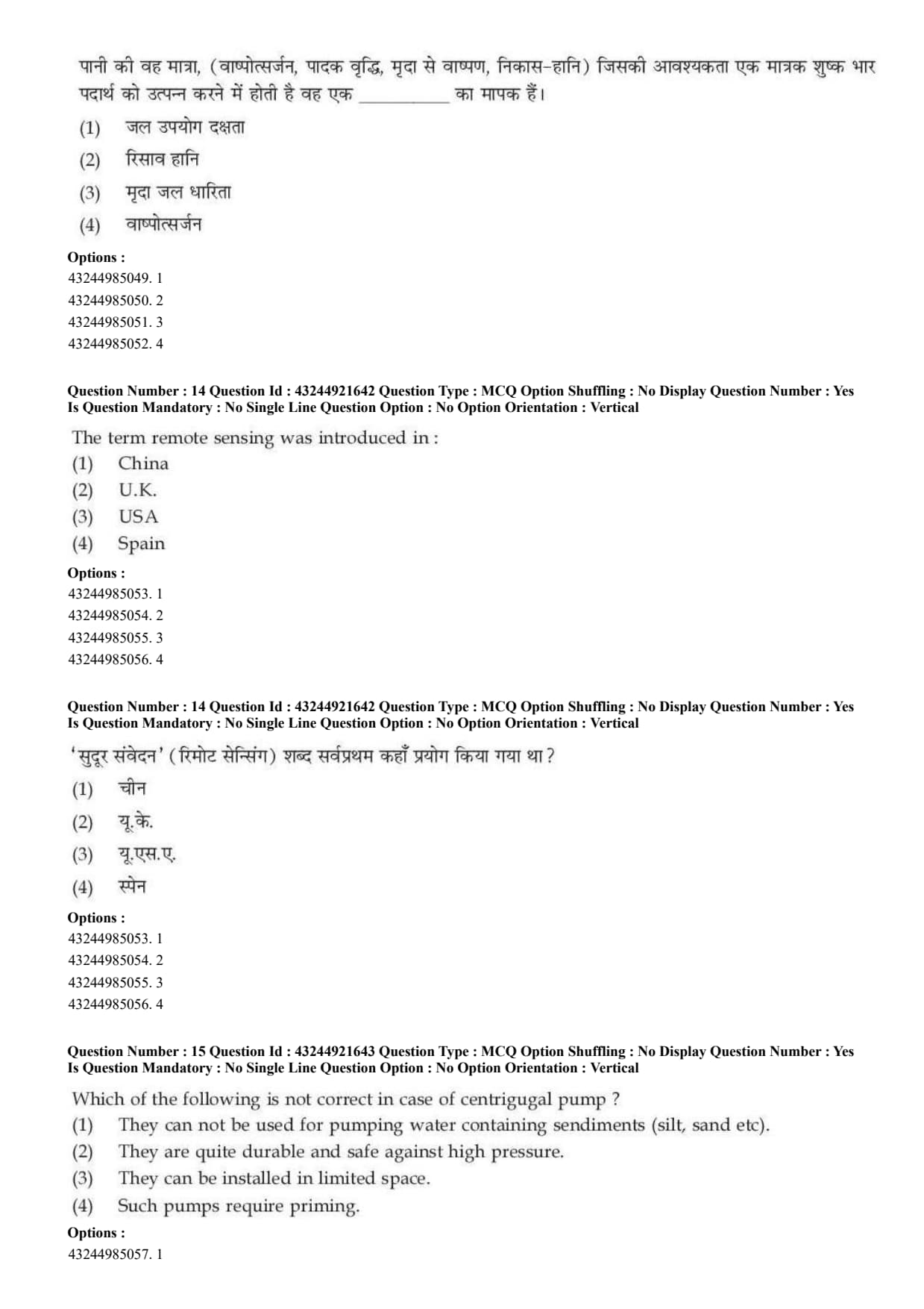
The amount of water including transpiration, plant growth, evaporation from the soil, and drainage loss required to produce a unit of dry weight material is a measure of:
The term remote sensing was introduced in:
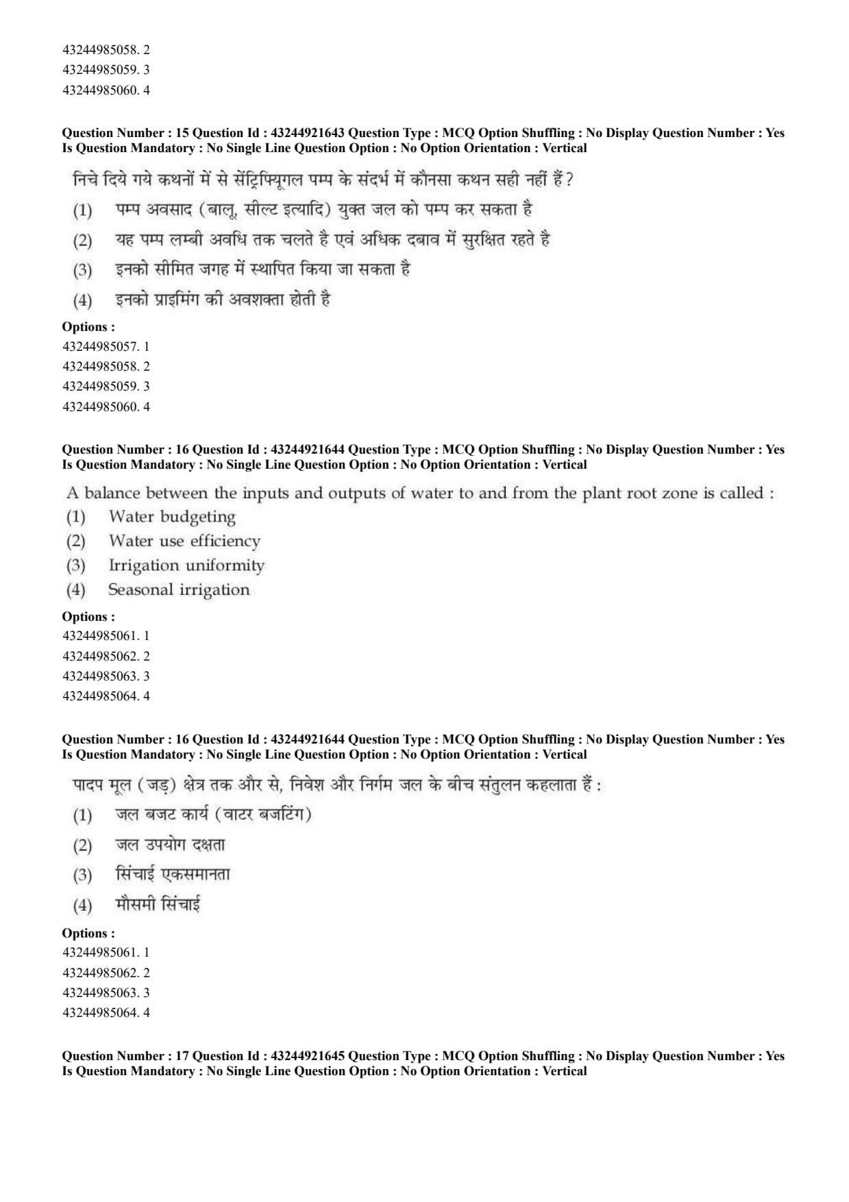
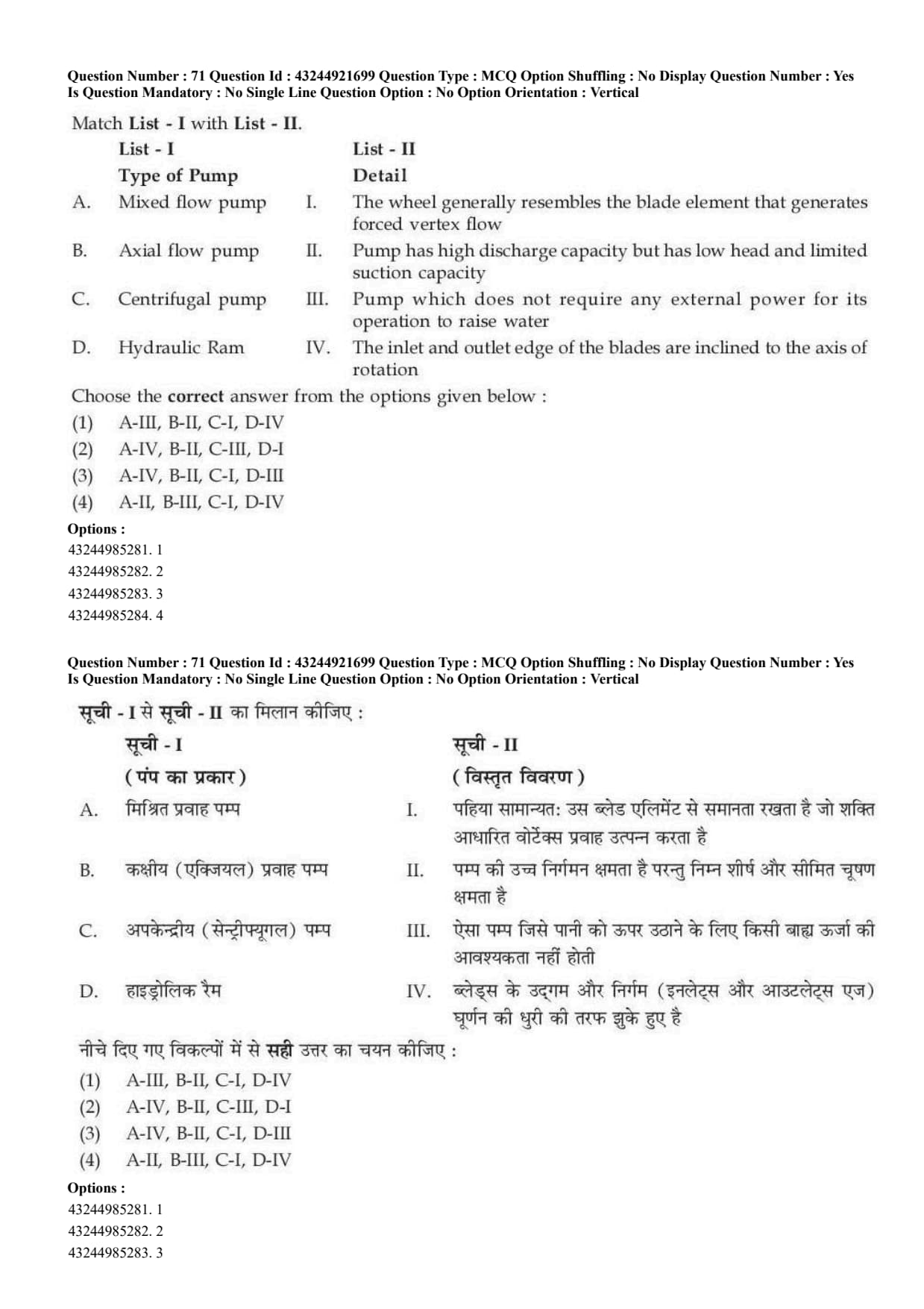
Which of the following is not correct in case of centrifugal pump?
A balance between the inputs and outputs of water to and from the plant root zone is called:
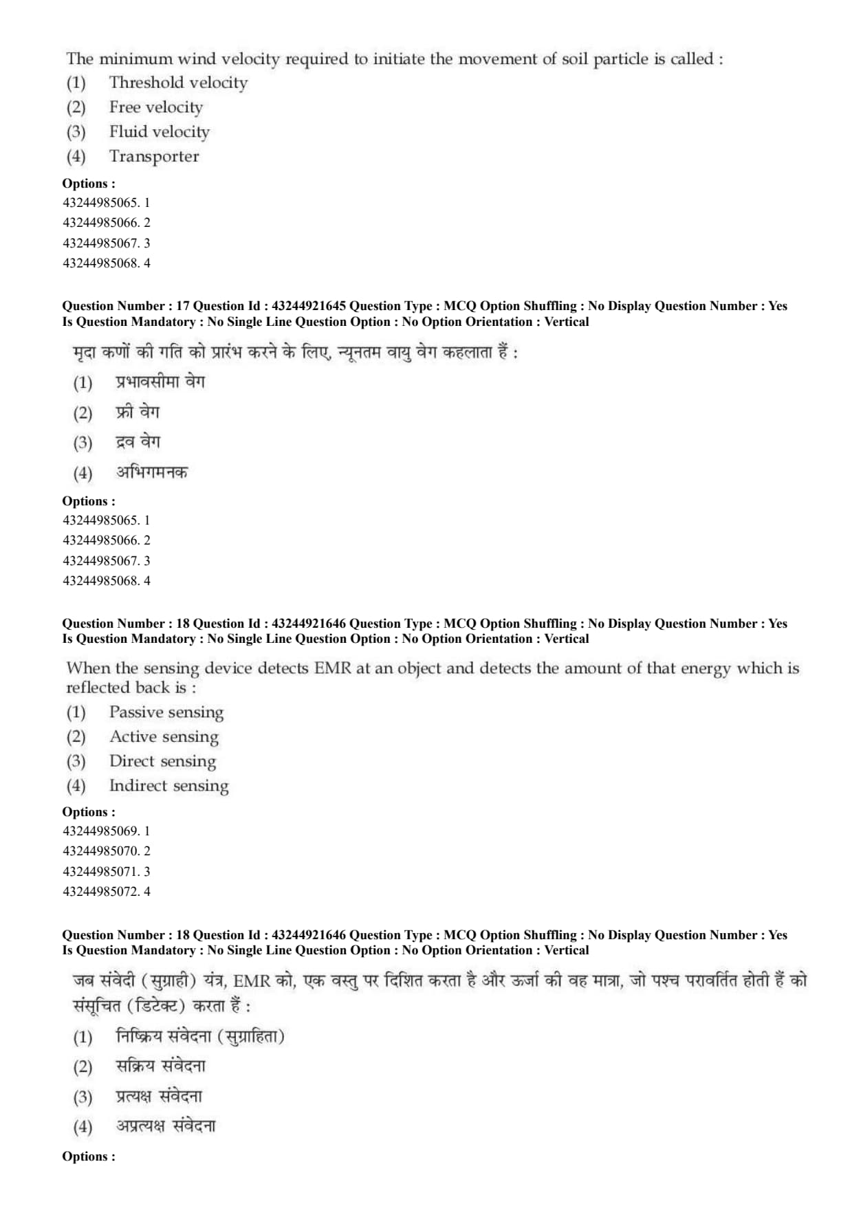
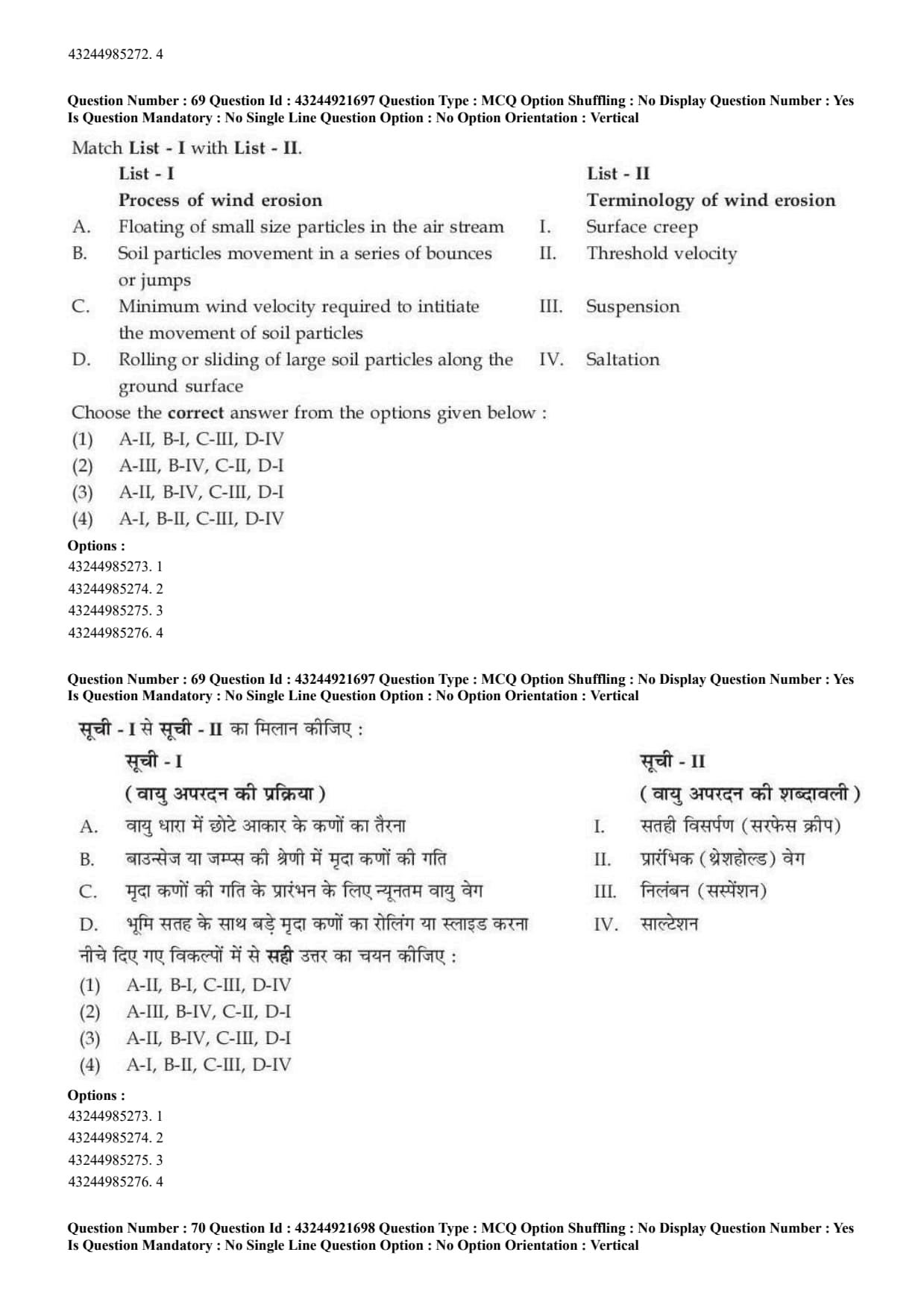
The minimum wind velocity required to initiate the movement of soil particle is called:
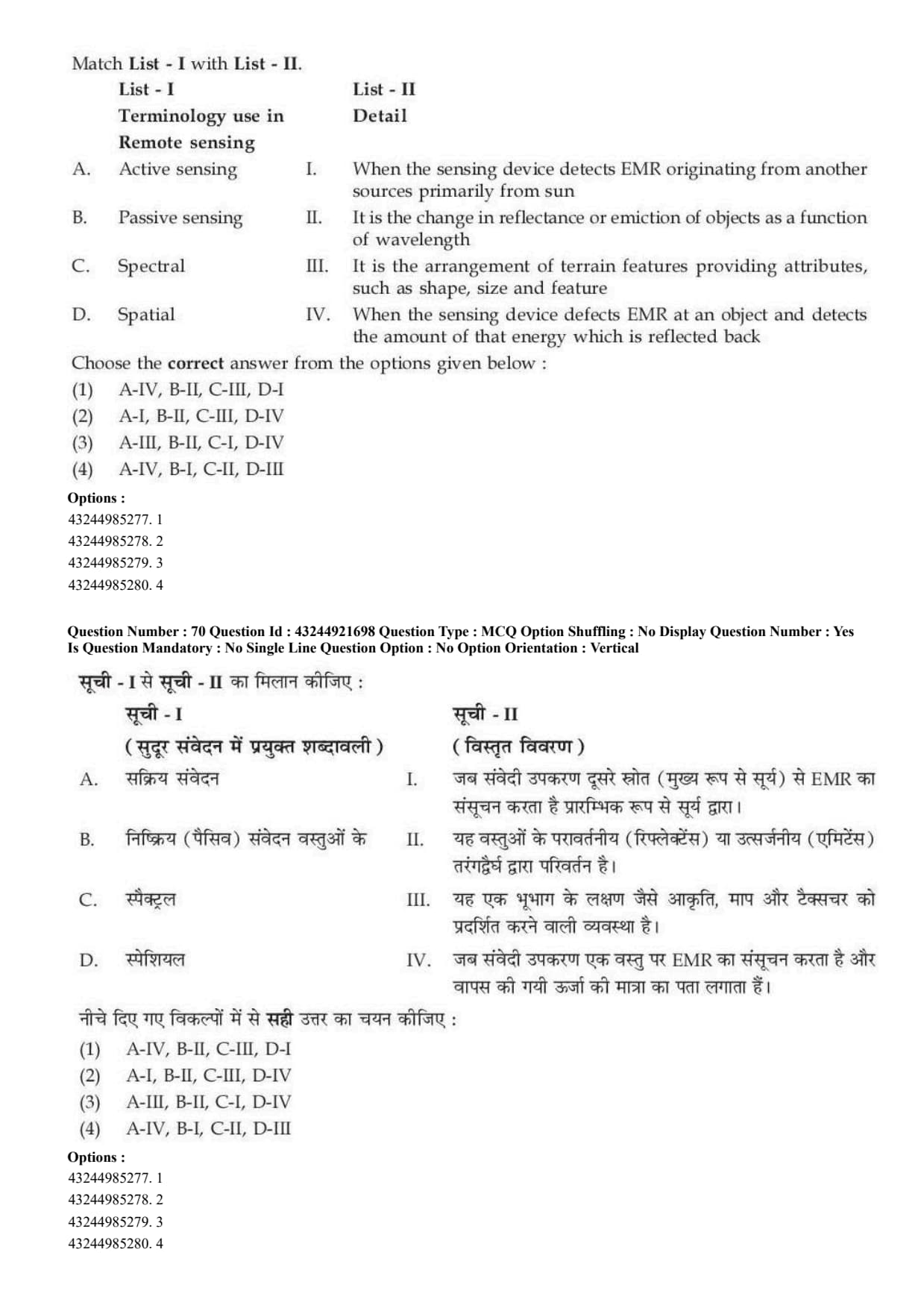
When the sensor detects EMR at an object and detects the amount of that energy which is reflected back, it is:
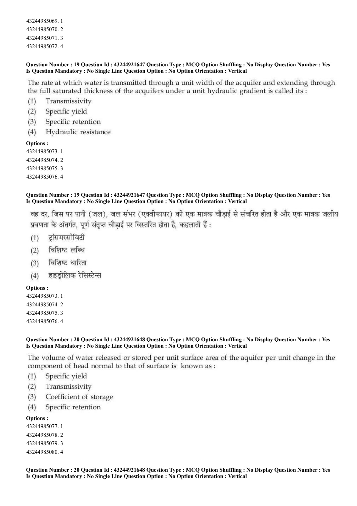
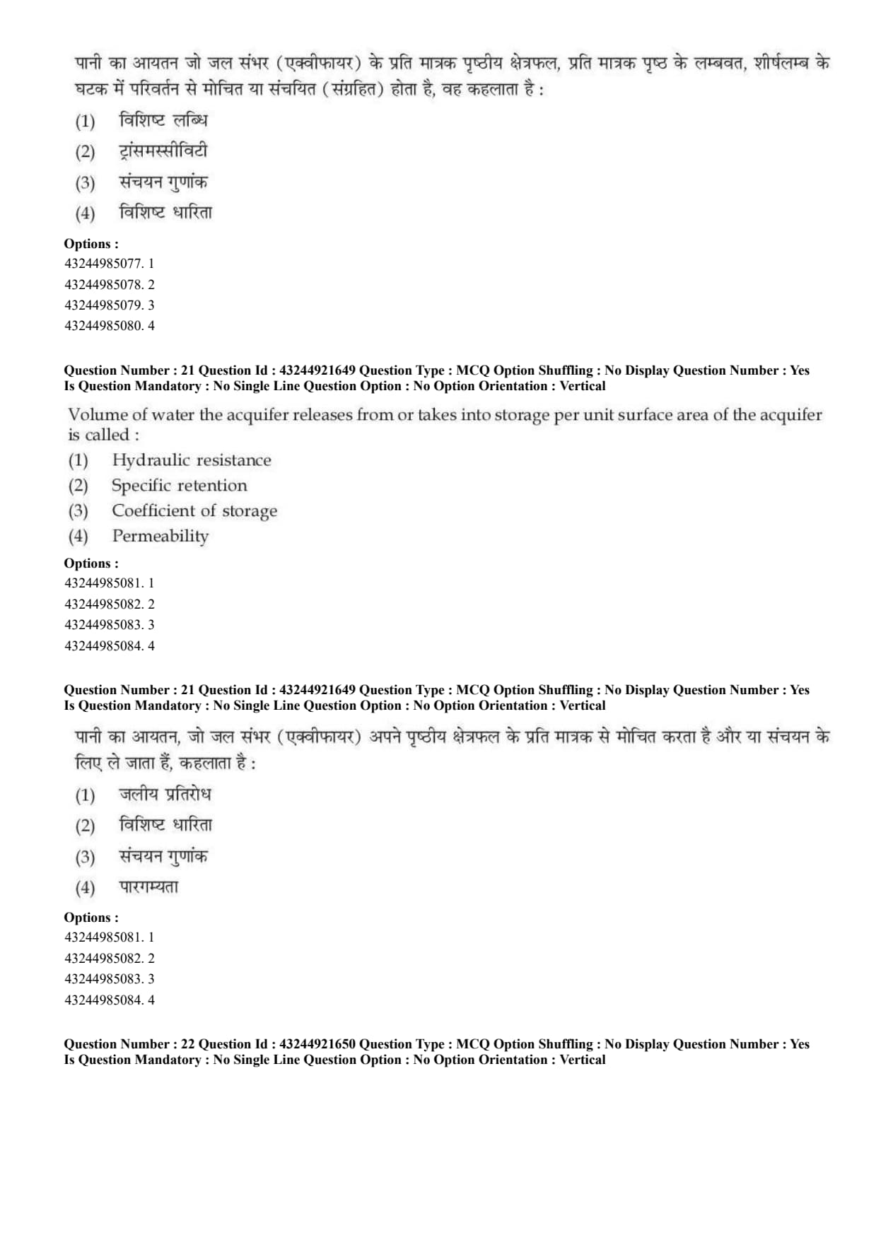
The rate at which water is transmitted through a unit width of the aquifer and extending through the full saturated thickness of the aquifer under a unit hydraulic gradient is called its:
The volume of water released or stored per unit surface area of the aquifer per unit change in the component of head normal to that surface is known as:
Volume of water the aquifer releases from or takes into storage per unit surface area of the aquifer is called:
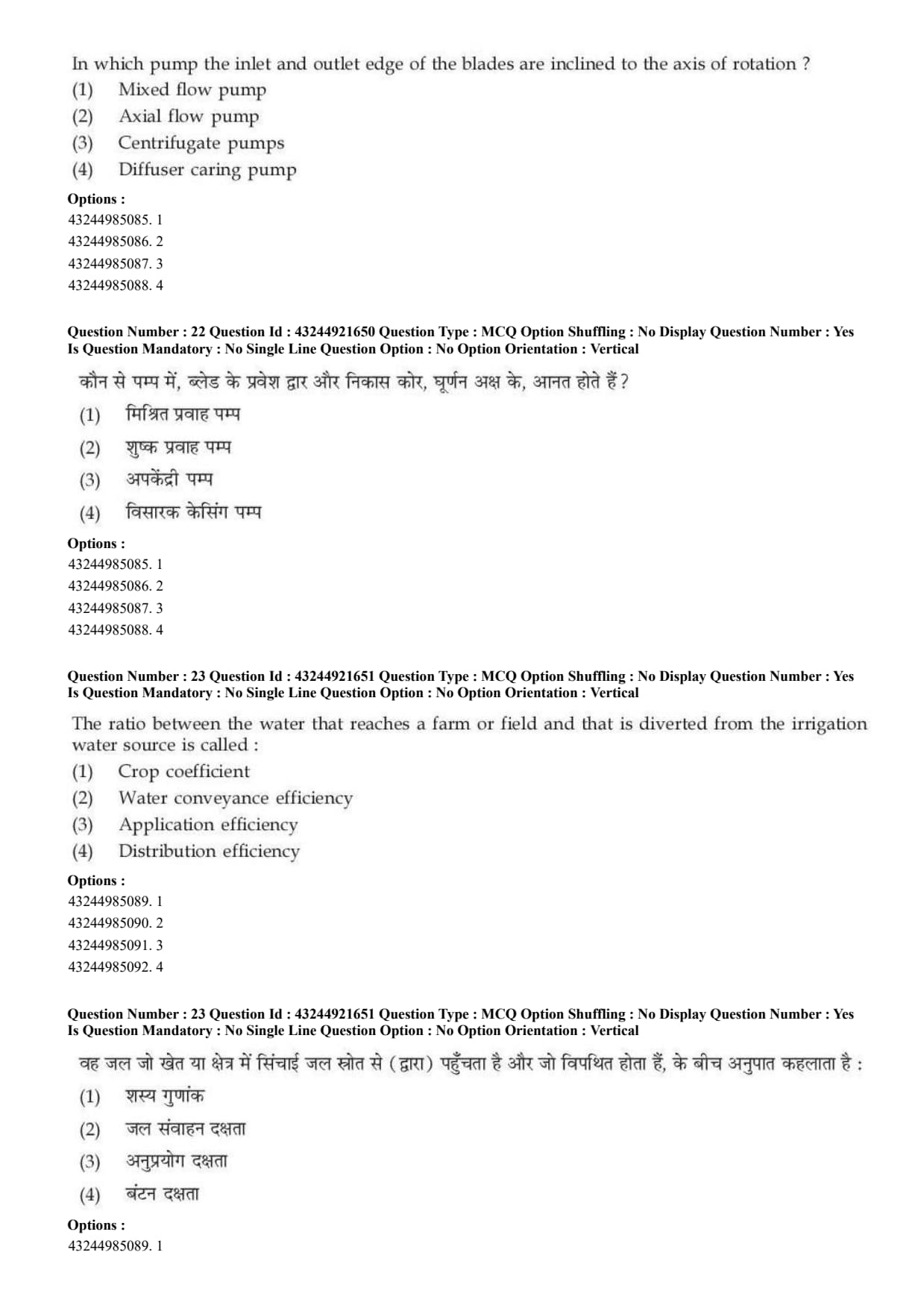
In which pump the inlet and outlet edge of the blades are inclined to the axis of rotation?
The ratio between the water that reaches a farm or field and that is diverted from the irrigation water source is called:
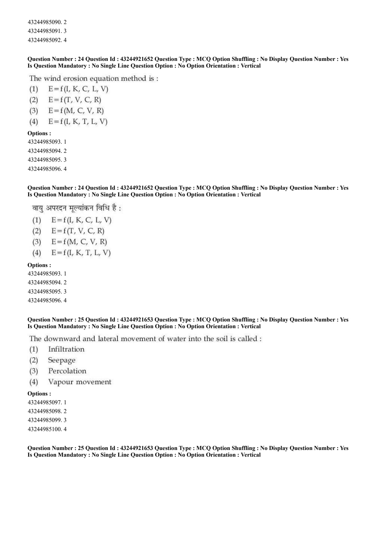
The wind erosion equation method is:
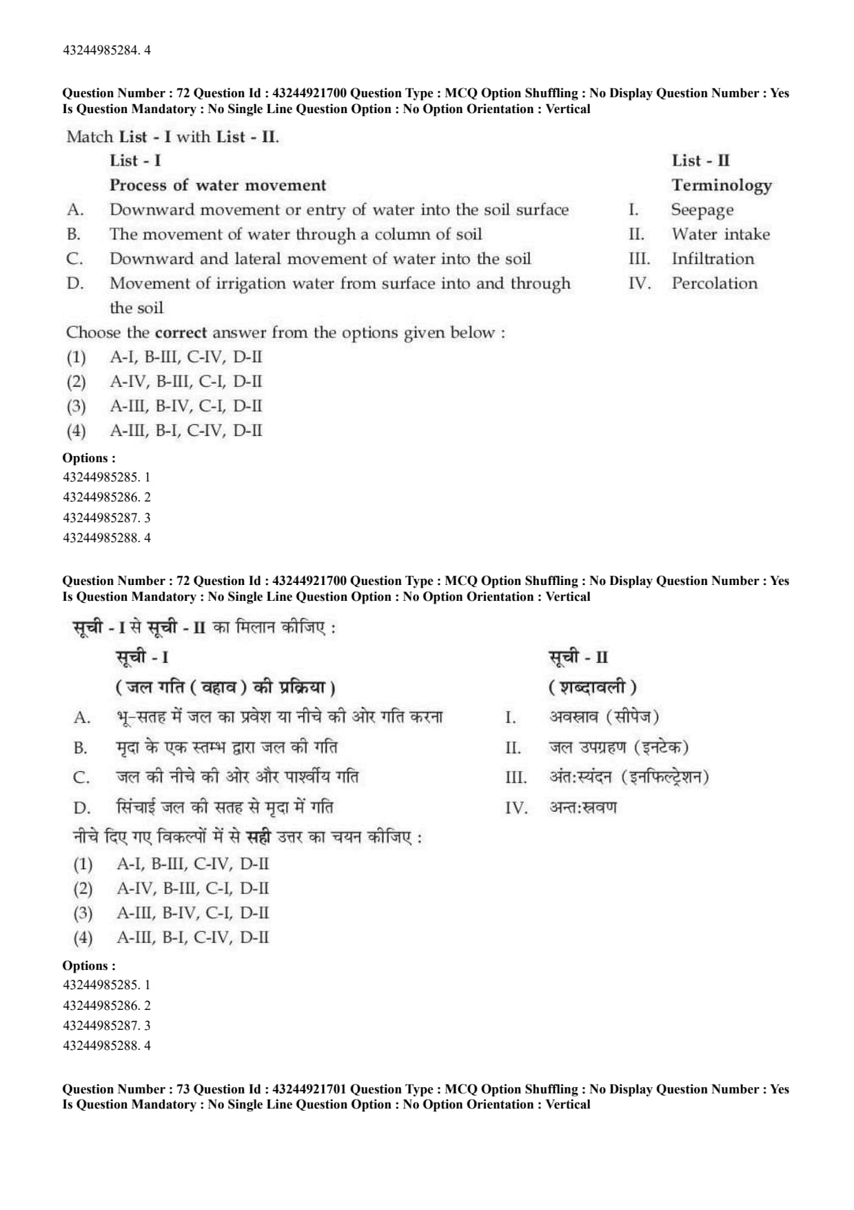
The downward and lateral movement of water into the soil is called:
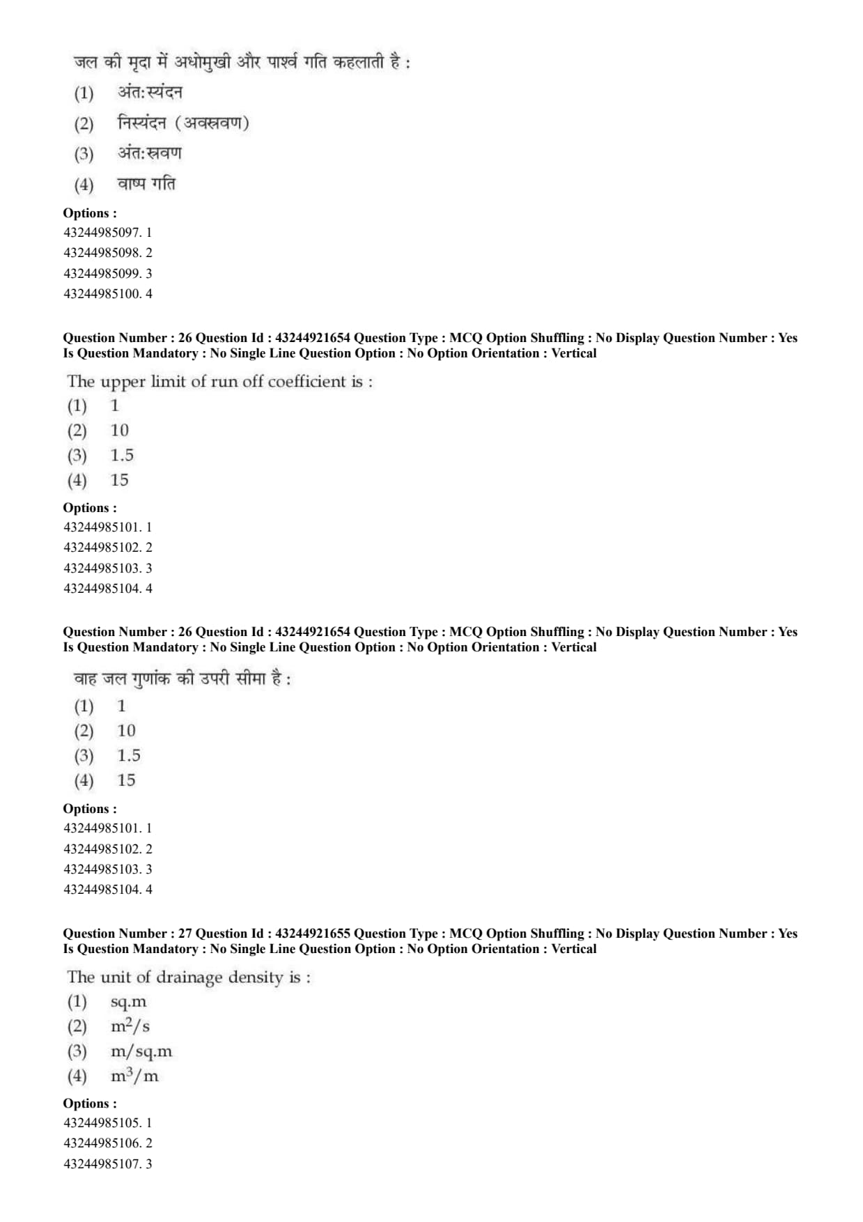
The upper limit of run off coefficient is:
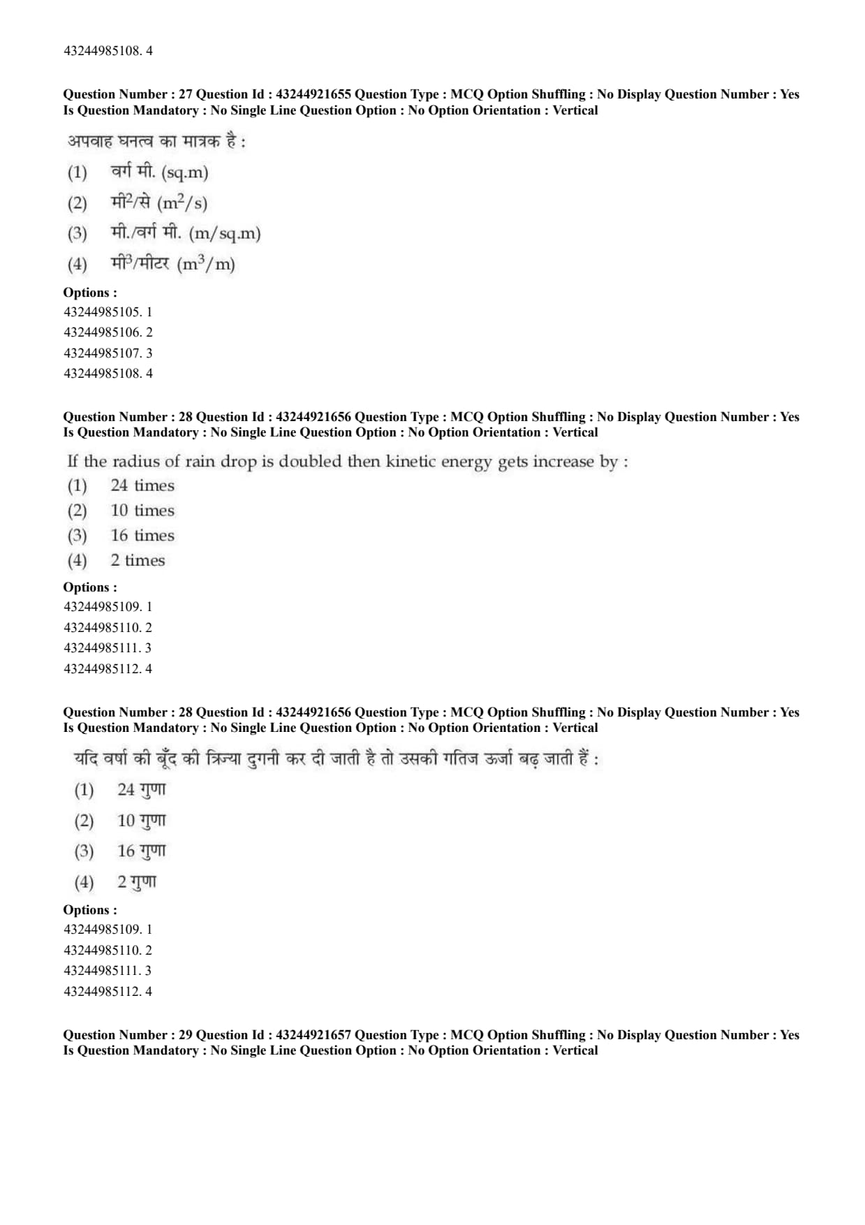
The unit of drainage density is:
If the radius of rain drop is doubled then kinetic energy gets increase by:
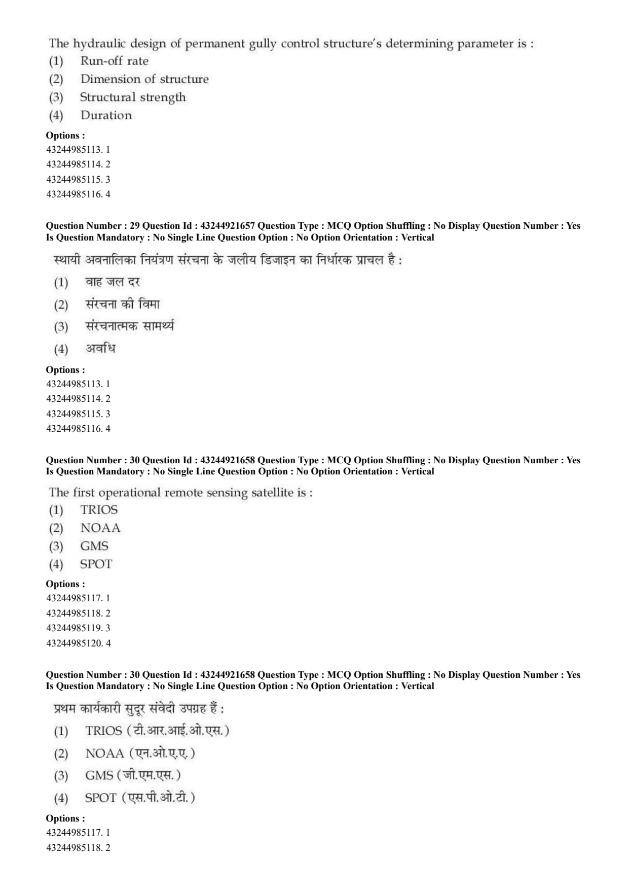
The hydraulic design of permanent gully control structure's determining parameter is:
The first operational remote sensing satellite is:
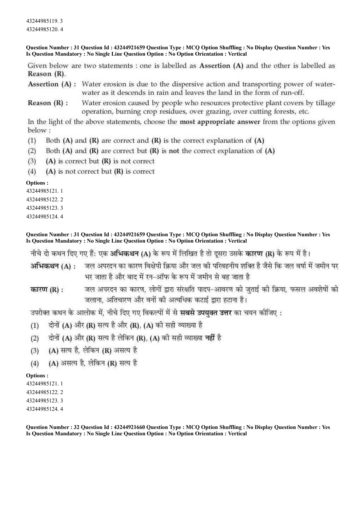
Given below are two statements:
Assertion (A): Water erosion is due to the dispersive action and transporting power of water as it descends in rain and leaves the land in the form of run-off.
Reason (R): Water erosion is caused by people who remove protective plant covers by tillage operation, burning crop residues, over grazing, over cutting forests, etc.
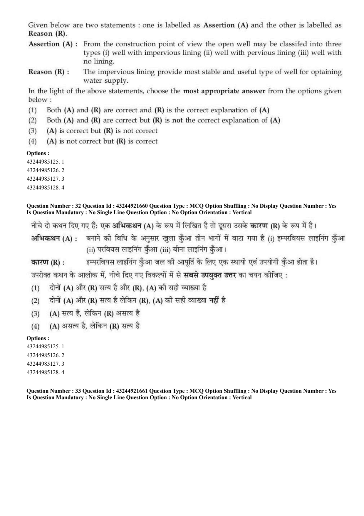
Given below are two statements:
Assertion (A): From the construction point of view, the open well may be classified into three types: well with impervious lining, well with pervious lining and well with no lining.
Reason (R): The impervious lining provides most stable and useful type of well for obtaining water supply.
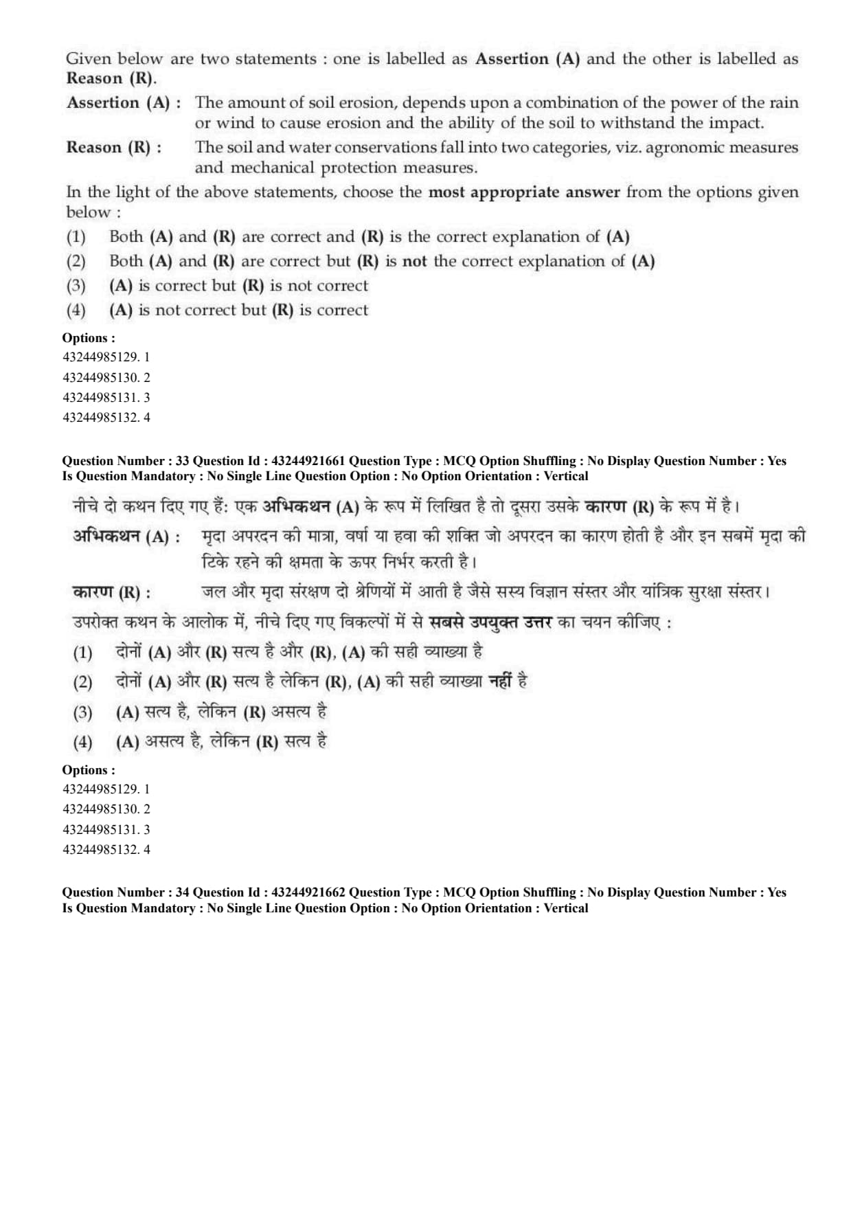
Given below are two statements:
Assertion (A): The amount of soil erosion depends upon a combination of the power of rain or wind to cause erosion and the ability of the soil to withstand the impact.
Reason (R): The soil and water conservation falls into two categories, viz. agronomic measures and mechanical protection measures.
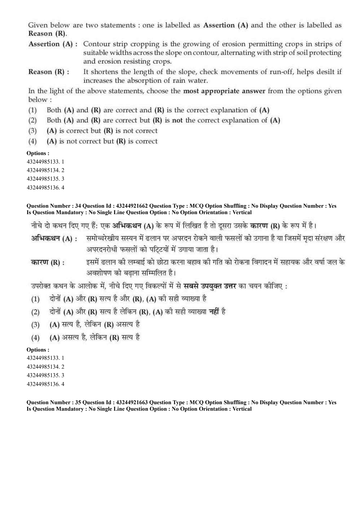
Given below are two statements:
Assertion (A): Contour strip cropping is the growing of erosion permitting crops in strips of suitable widths across the slope on contour, alternating with strips of soil protecting and erosion resisting crops.
Reason (R): It shortens the length of the slope, checks movements of run-off, helps desilt if increases the absorption of rain water.
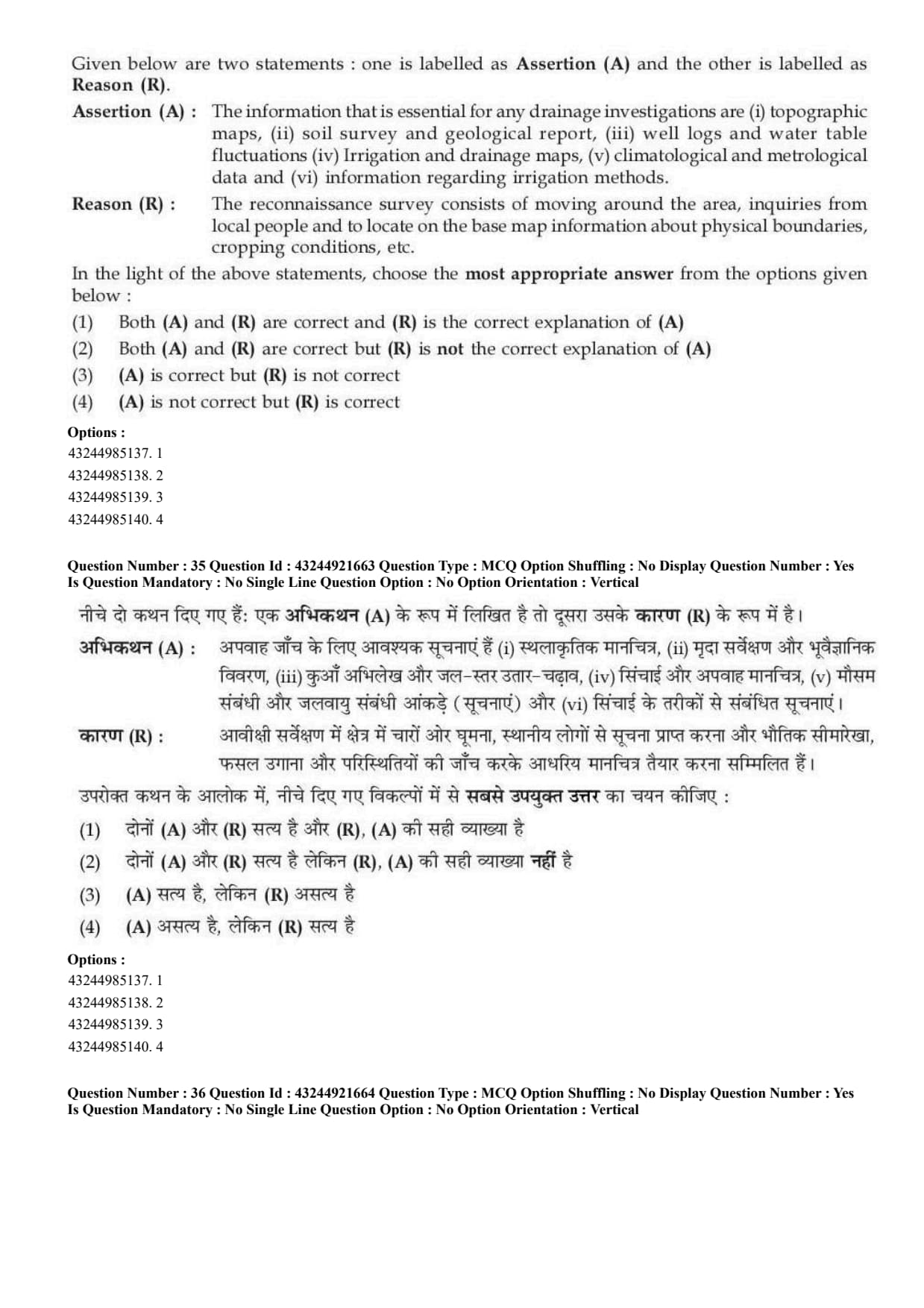
Given below are two statements:
Assertion (A): The information that is essential for any drainage investigations are topographic maps, soil survey and geological report, well logs and water table fluctuations, irrigation and drainage maps, climatological and meteorological data and information regarding irrigation methods.
Reason (R): The reconnaissance survey consists of moving around the area, inquiries from local people and to locate on the base map information about physical boundaries, cropping conditions, etc.
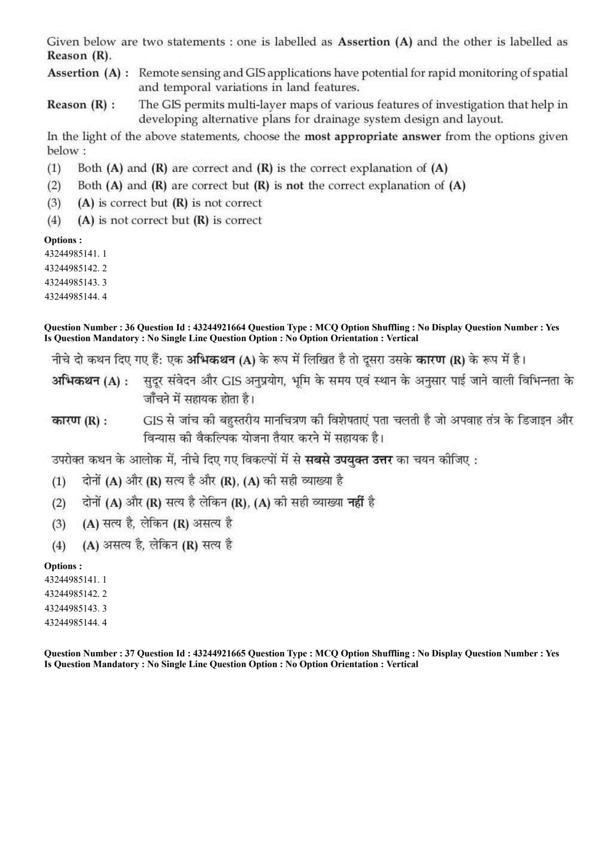
Given below are two statements:
Assertion (A): Remote sensing and GIS applications have potential for rapid monitoring of spatial and temporal variations in land features.
Reason (R): The GIS permits multi-layer maps of various features of investigation that help in developing alternative plans for drainage system design and layout.
Given below are two statements:
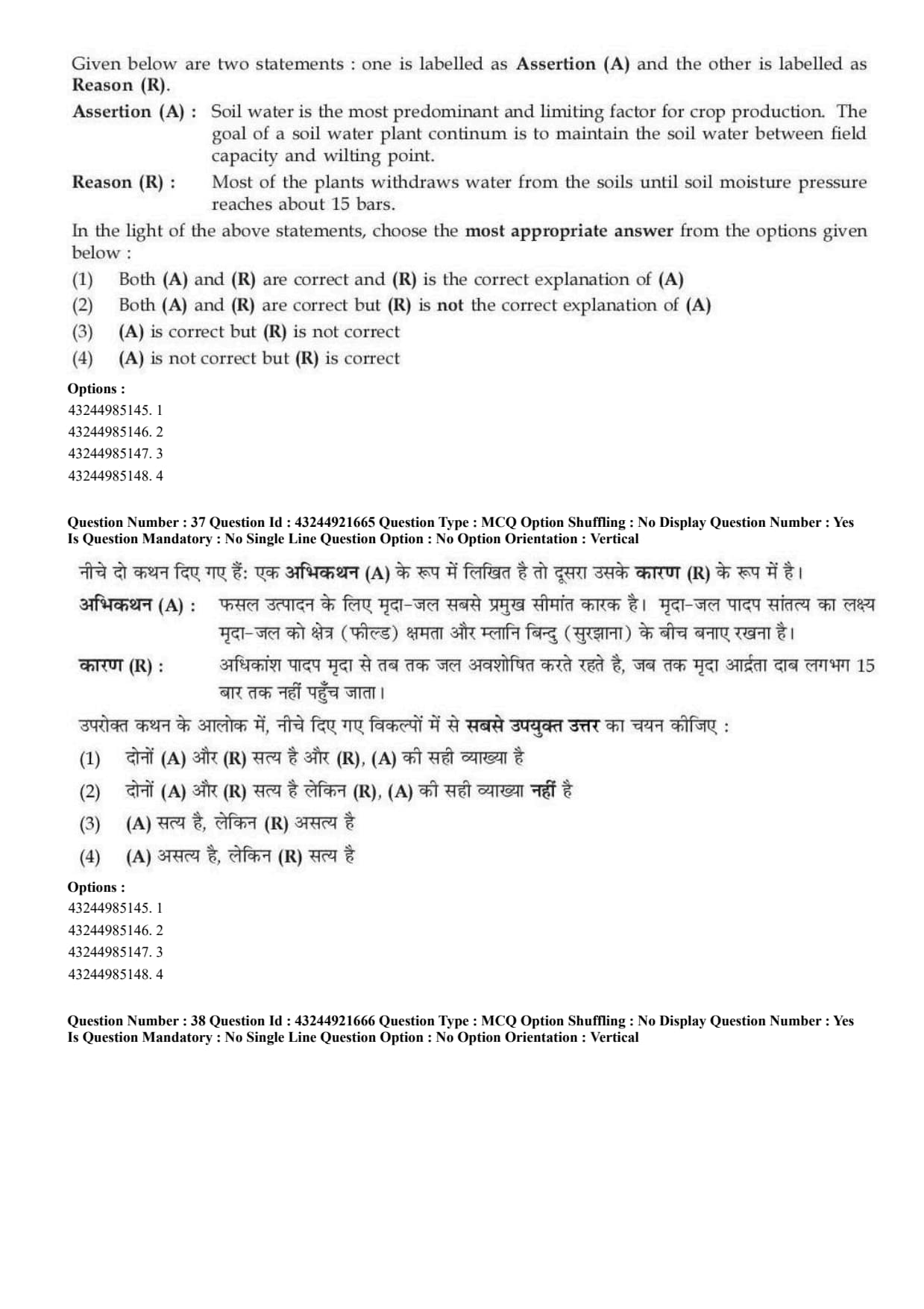
Assertion (A): Soil water is the most predominant and limiting factor for crop production. The goal of a soil-water-plant continuum is to maintain the soil water between field capacity and wilting point.
Reason (R): Most of the plants withdraw water from the soils until soil moisture pressure reaches about 15 bars.
Given below are two statements:
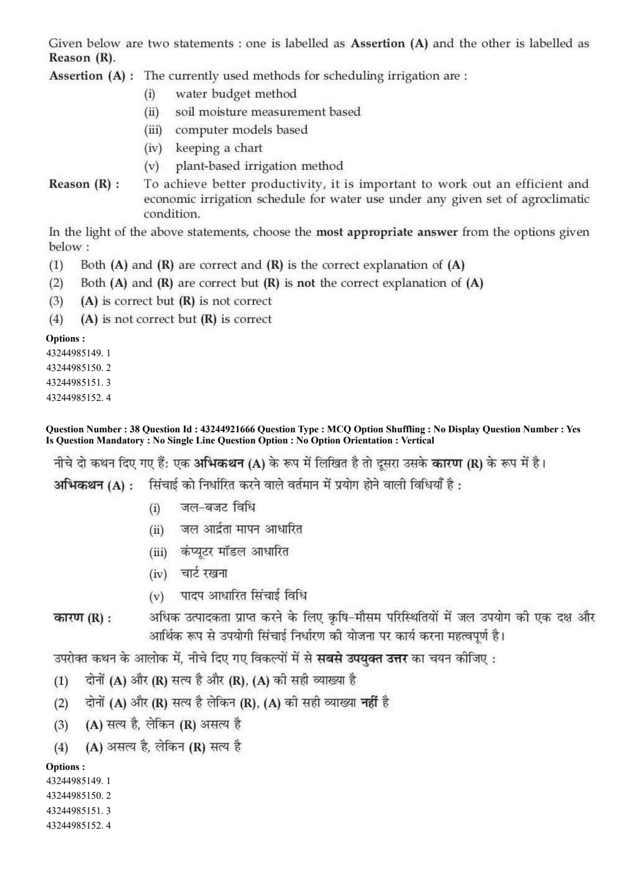
Assertion (A): The currently used methods for scheduling irrigation are water budget method, soil moisture measurement based, computer models based, keeping a chart and plant-based irrigation method.
Reason (R): To achieve better productivity, it is important to work out an efficient and economic irrigation schedule for water use under any given set of agroclimatic condition.
Given below are two statements:
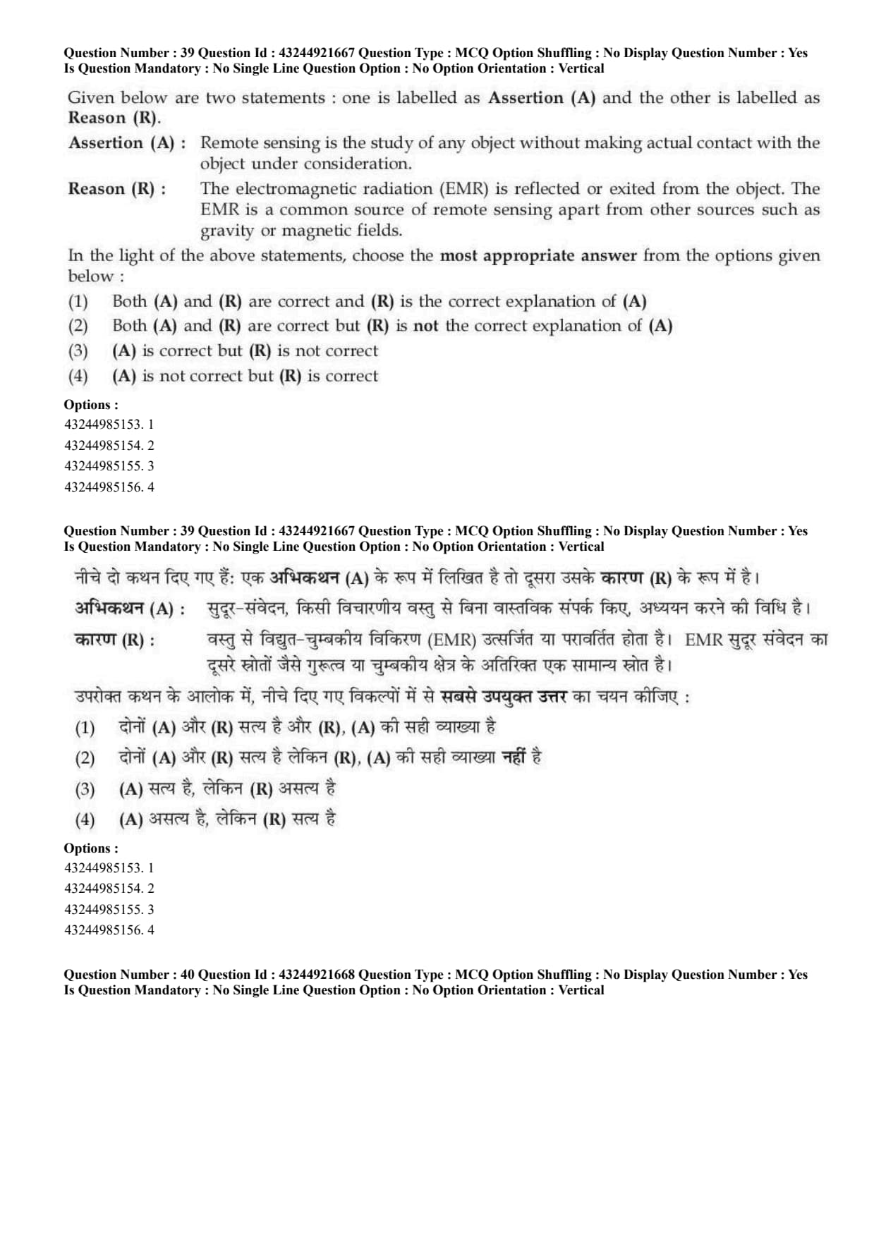
Assertion (A): Remote sensing is the study of any object without making actual contact with the object under consideration.
Reason (R): The electromagnetic radiation reflected or emitted from the object is a common source of remote sensing apart from other sources such as gravity or magnetic fields.
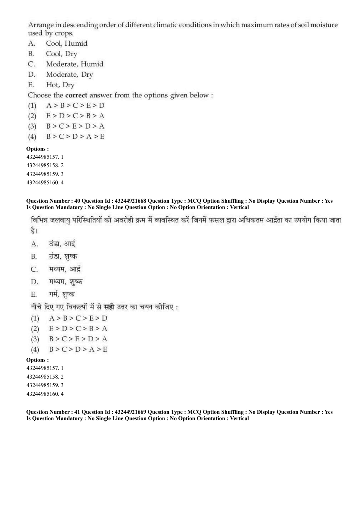
Arrange in descending order of different climatic conditions in which maximum rates of soil moisture are used by crops.
A. Cool, Humid;
B. Cool, Dry;
C. Moderate, Humid;
D. Moderate, Dry;
E. Hot, Dry.
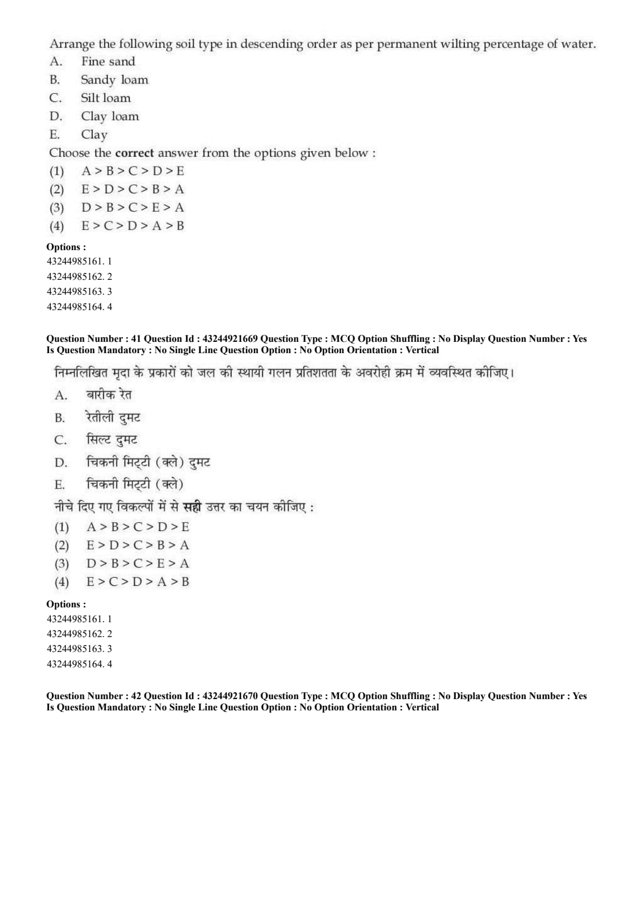
Arrange the following soil types in descending order as per permanent wilting percentage of water.
A. Fine sand,
B. Sandy loam,
C. Silt loam,
D. Clay loam,
E. Clay.
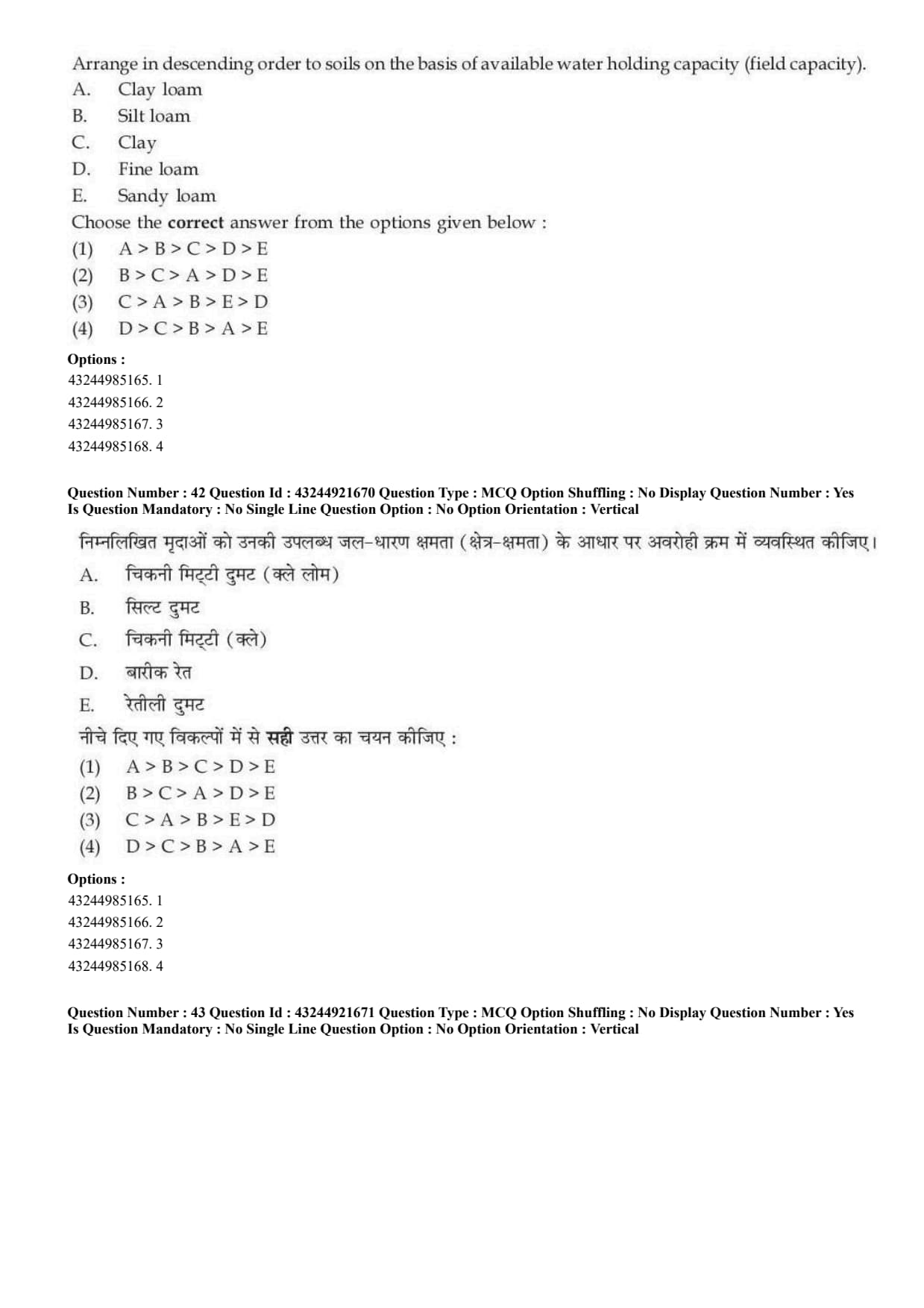
Arrange in descending order the soils on the basis of available water holding capacity.
A. Clay loam,
B. Silt loam,
C. Clay,
D. Fine loam,
E. Sandy loam.
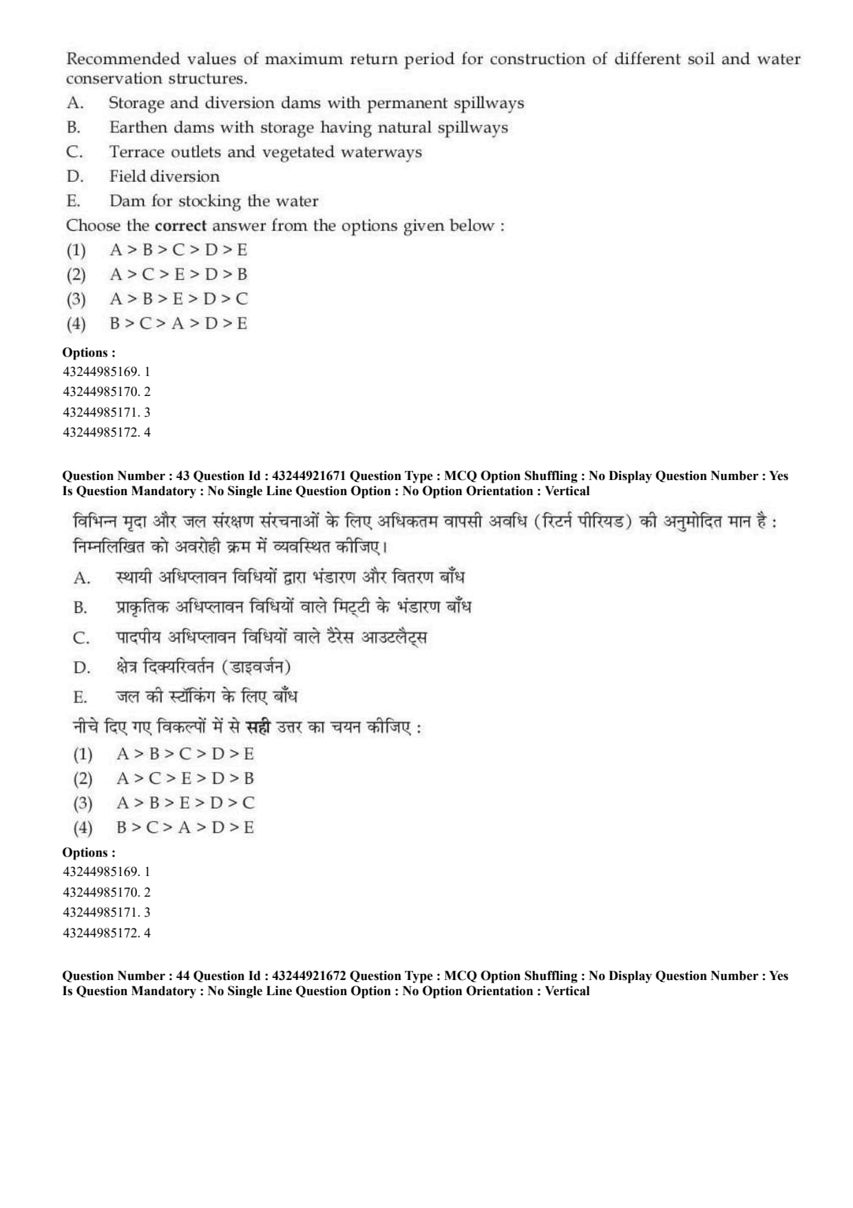
Arrange the recommended values of maximum return period for construction of different soil and water conservation structures.
A. Storage and diversion dams with permanent spillways,
B. Earthen dams with storage having natural spillways,
C. Terrace outlets and vegetated waterways,
D. Field diversion,
E. Dam for stocking the water.
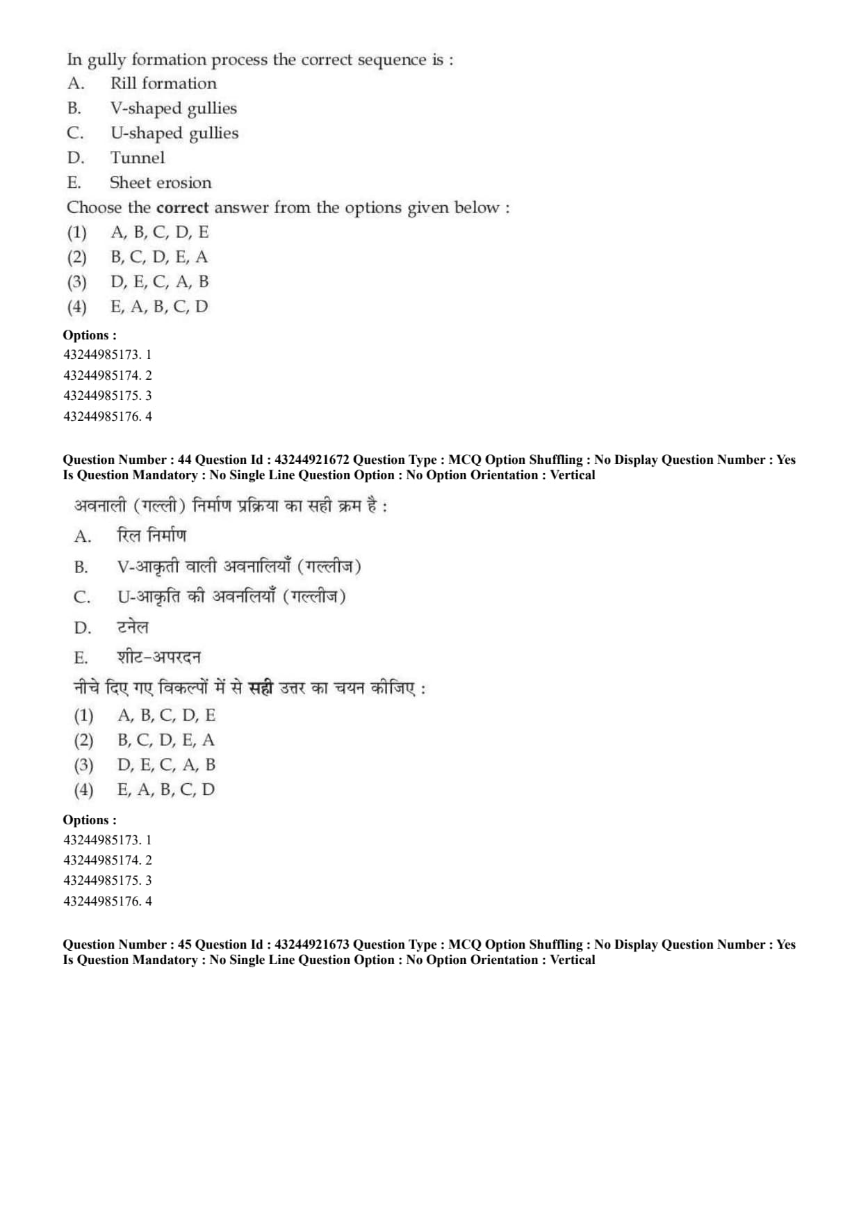
In gully formation process the correct sequence is:
A. Rill formation,
B. V-shaped gullies,
C. U-shaped gullies,
D. Tunnel,
E. Sheet erosion.
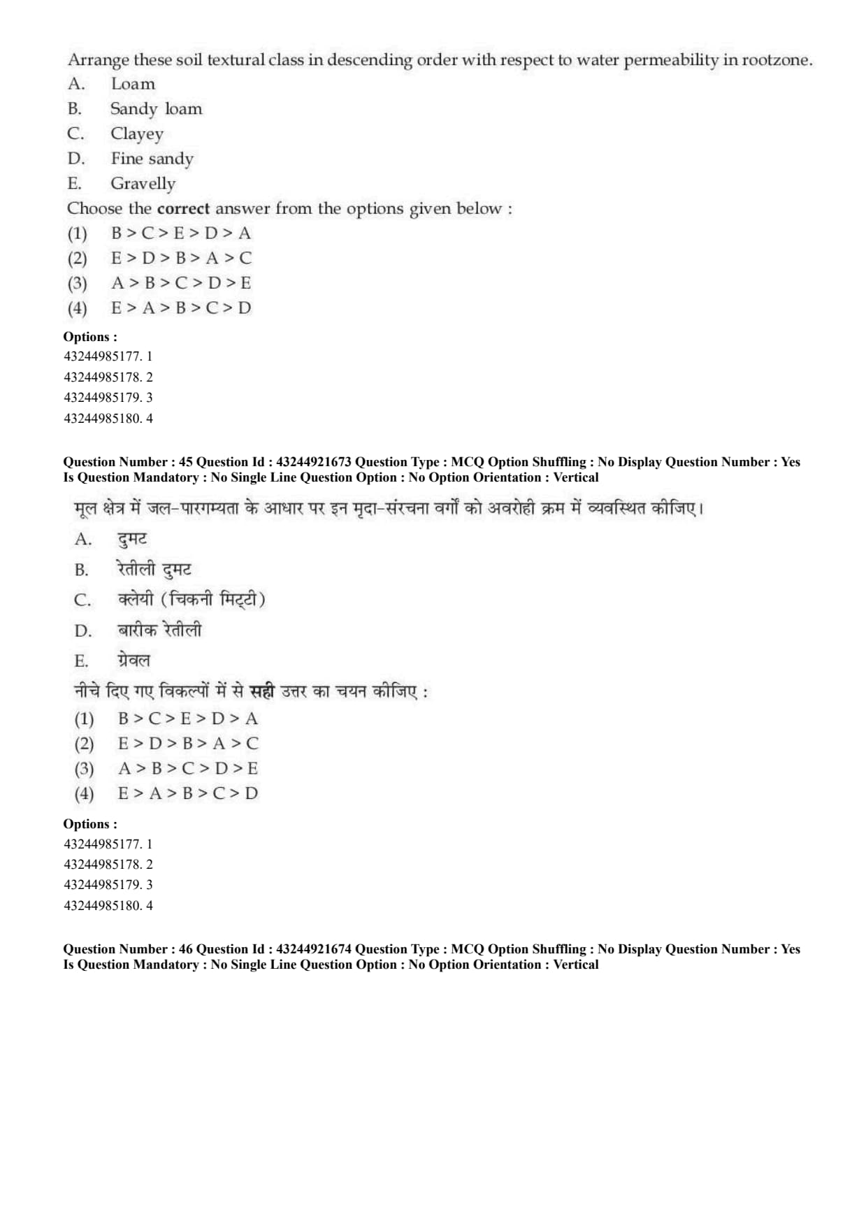
Arrange these soil textural classes in descending order with respect to water permeability in root zone.
A. Loam,
B. Sandy loam,
C. Clayey,
D. Fine sandy,
E. Gravelly.
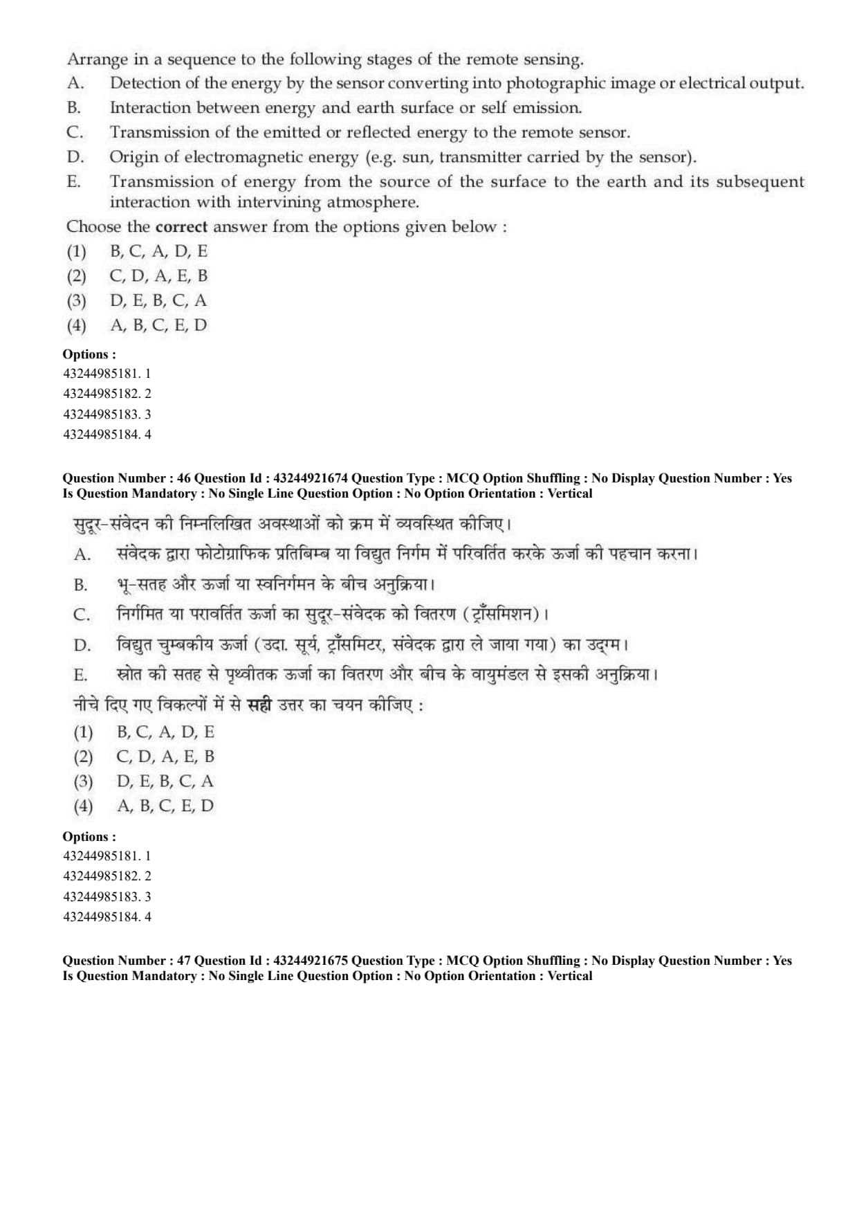
Arrange in a sequence the following stages of remote sensing.
A. Detection of the energy by the sensor converting into photographic image or electrical output,
B. Interaction between energy and earth surface or self emission,
C. Transmission of the emitted or reflected energy to the remote sensor,
D. Origin of electromagnetic energy,
E. Transmission of energy from the source to the earth surface and its interaction with atmosphere.
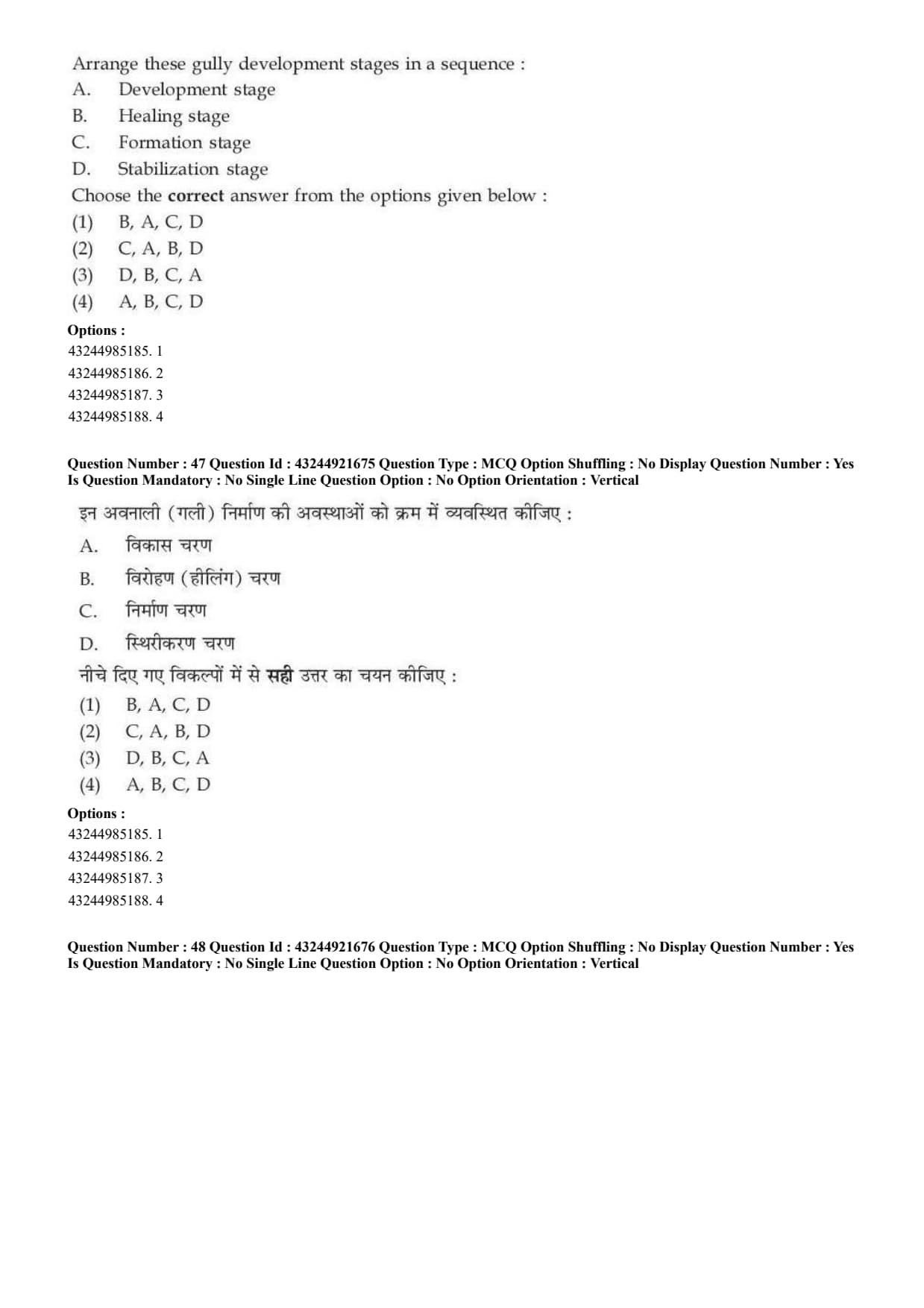
Arrange these gully development stages in a sequence.
A. Development stage,
B. Healing stage,
C. Formation stage,
D. Stabilization stage.
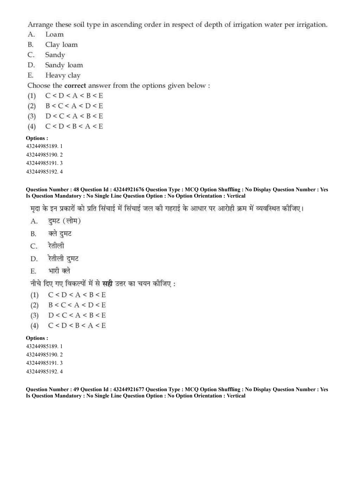
Arrange these soil types in ascending order in respect of depth of irrigation water per irrigation.
A. Loam,
B. Clay loam,
C. Sandy,
D. Sandy loam,
E. Heavy clay.
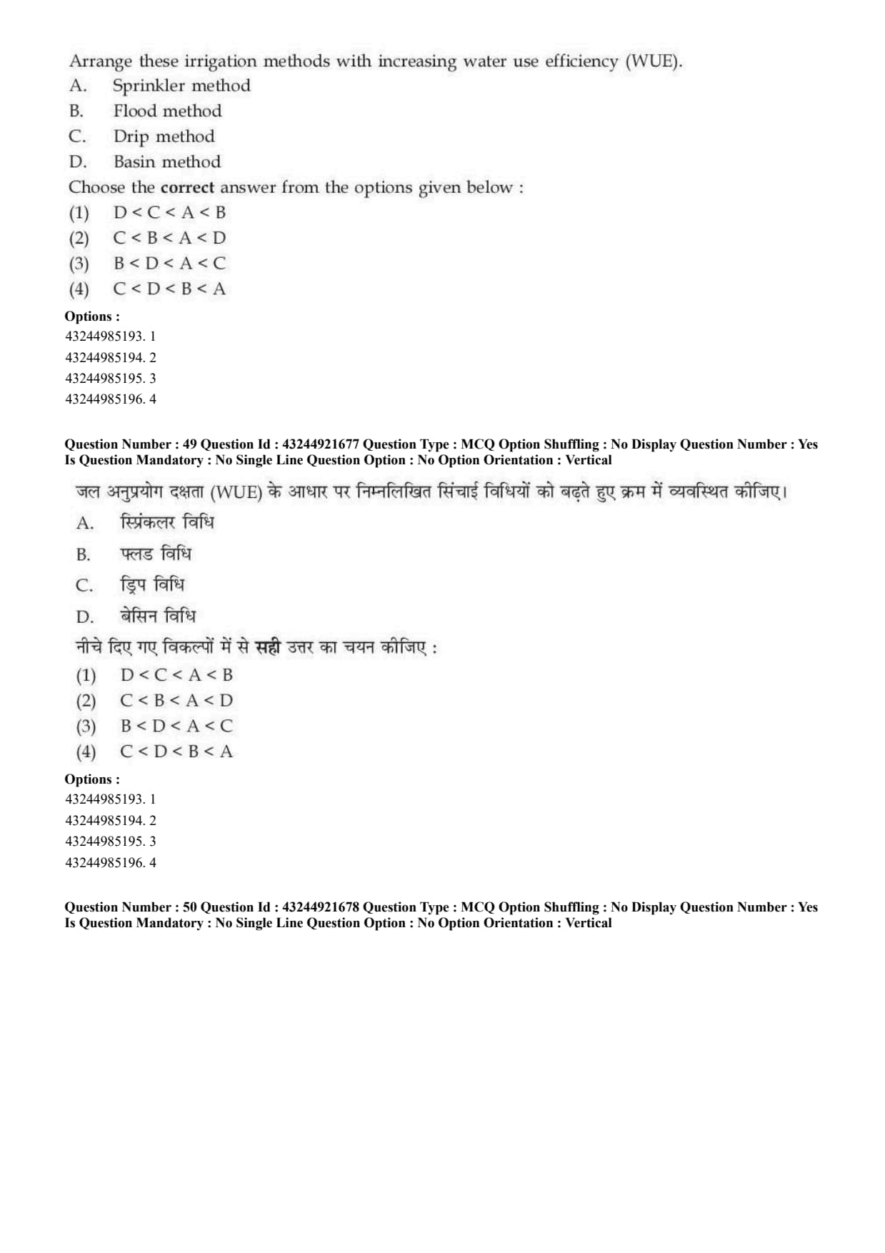
Arrange these irrigation methods with increasing water use efficiency.
A. Sprinkler method,
B. Flood method,
C. Drip method,
D. Basin method.
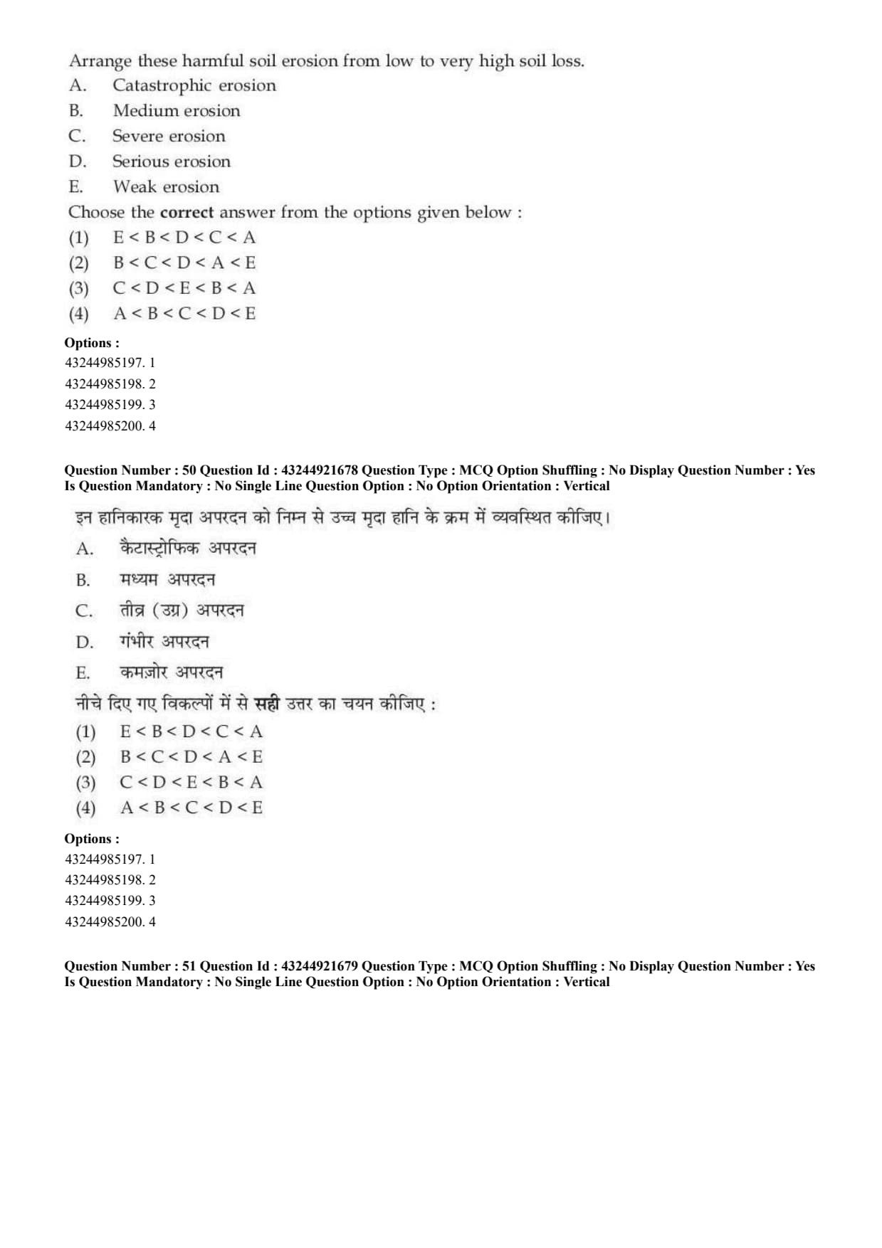
Arrange these harmful soil erosion classes from low to very high soil loss.
A. Catastrophic erosion,
B. Medium erosion,
C. Severe erosion,
D. Serious erosion,
E. Weak erosion.



Comments