




The NCERT Solutions for Class 11 Geography Chapter 17 Drainage System cover every exercise question from the latest 2026-27 NCERT book. The chapter explains river basins, watersheds, drainage patterns, Himalayan rivers, Peninsular rivers and the foothill route from Haridwar to Siliguri.
- The PDF solves 4 exercise groups from Drainage System.
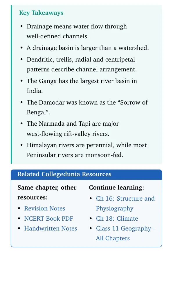
- Key facts include the Damodar, Ganga basin, Panchnad, Narmada rift valley and Deva Prayag.
- Use the embedded question cards below for direct answers and expert explanations.

Student Feedback: In a Collegedunia student survey of 12,320 Class 11 Geography students before the 2026 exams, many students said this chapter becomes easier when river systems are revised with a map and a comparison table.
Each answer in this Class 11 Geography Chapter 17 solutions PDF follows the 2026-27 NCERT exercise and keeps the wording school-exam ready.
|
Table of Contents |
Drainage System Answer Key and Exercise Pattern
The exercise begins with direct MCQs and then moves into comparison, short-answer and map-route questions. Students should first memorise the fixed answer key, then revise the process terms that explain why river systems behave differently.
| Exercise area | Questions | What it checks |
|---|---|---|
| MCQs | 5 parts | River nicknames, basin size, Panchnad, rift valleys and confluence points |
| Comparison | 4 pairs | Basin and watershed, drainage patterns, delta and estuary |
| Short answers | 2 parts | Inter-linking rivers and Peninsular river characteristics |
| Long answers | 2 parts | North Indian rivers and the Haridwar to Siliguri river route |
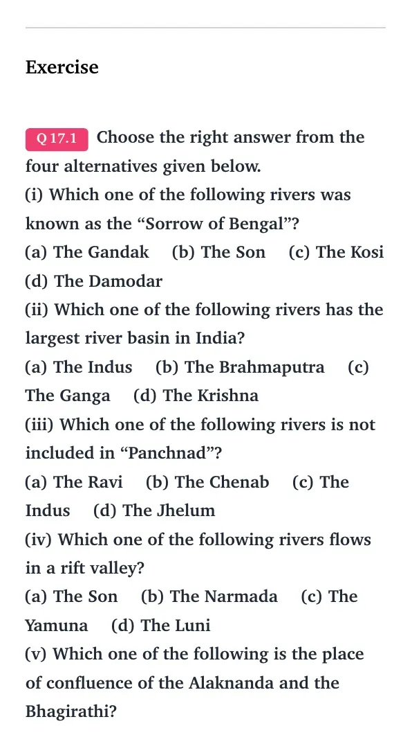
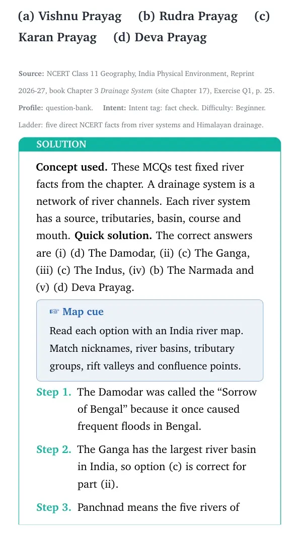
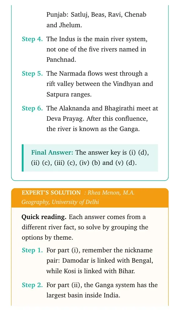
The MCQ key used in the PDF is Damodar, Ganga, Indus, Narmada and Deva Prayag. These answers match the standard NCERT exercise sequence for the chapter.
Drainage System Video Lesson for Class 11
Source: Magnet Brains on YouTube
Drainage Patterns and River Basin Terms
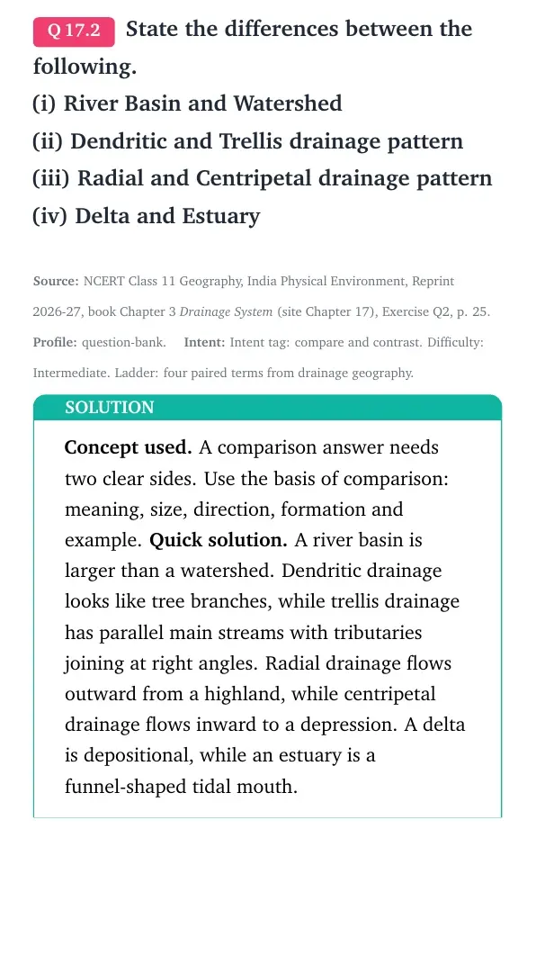
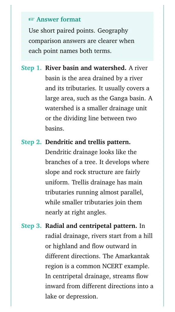
Class 11 Geography Chapter 17 uses a few terms repeatedly. A river basin is the whole area drained by a river and its tributaries, while a watershed is a smaller drainage divide or unit inside the larger drainage layout.
- Dendritic pattern: branch-like drainage that develops where rock structure is almost uniform.
- Trellis pattern: parallel main streams with tributaries joining almost at right angles.
- Radial pattern: streams flow outward from a highland or dome.
- Centripetal pattern: streams flow inward toward a depression or lake.
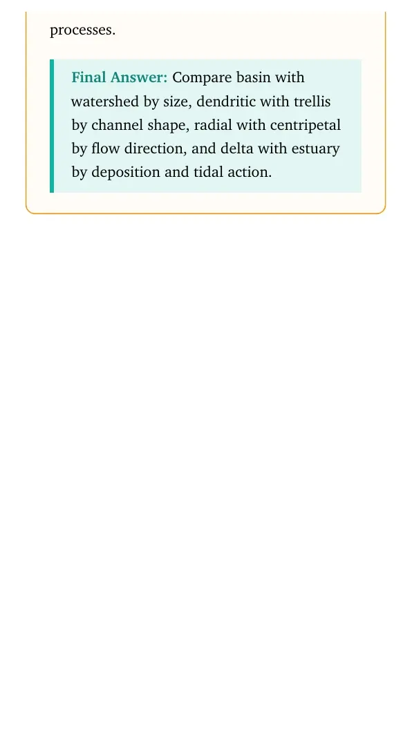
For comparison answers, write the basis first: size, shape, flow direction or river-mouth process.
Himalayan and Peninsular River Systems Compared
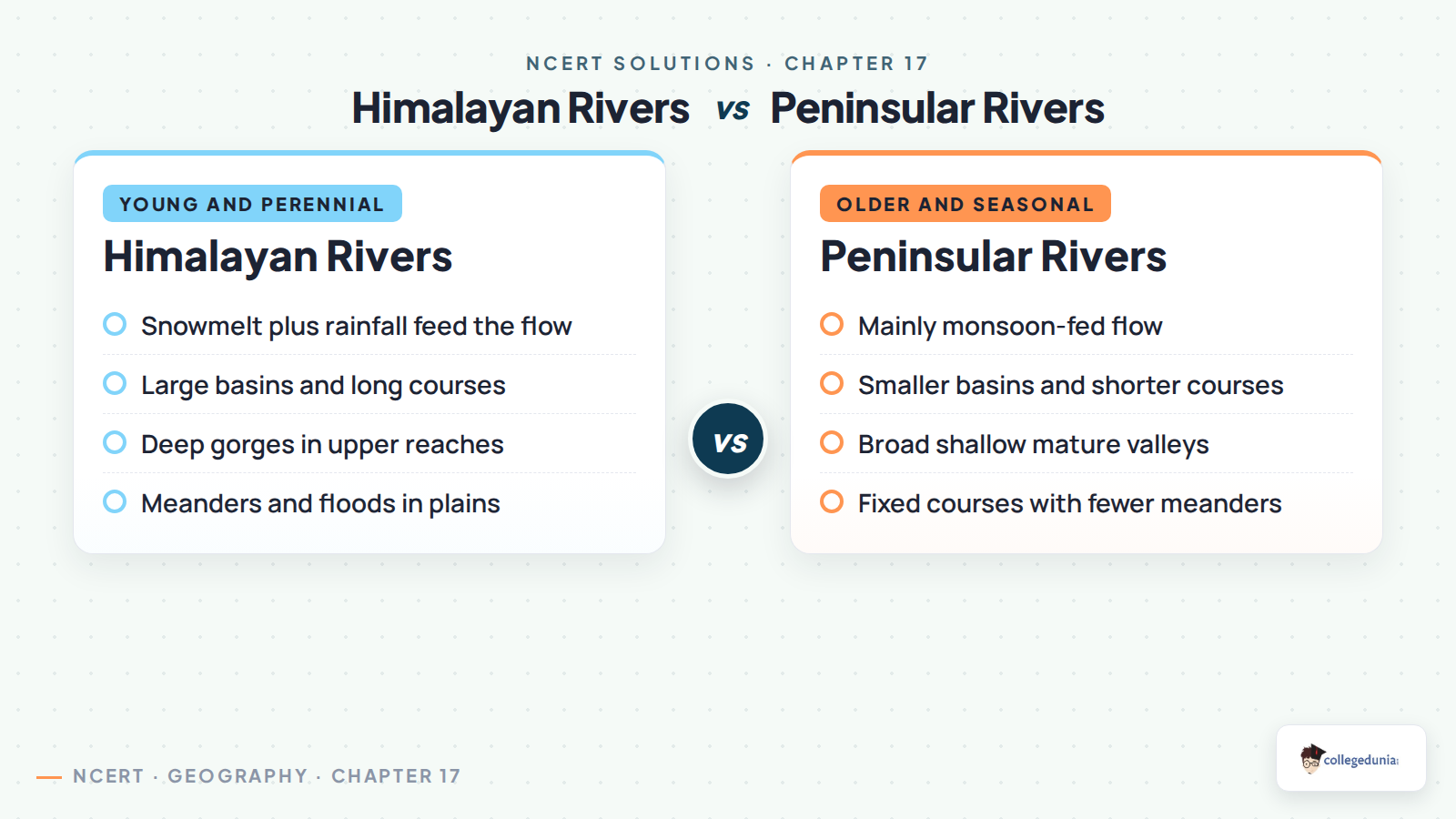
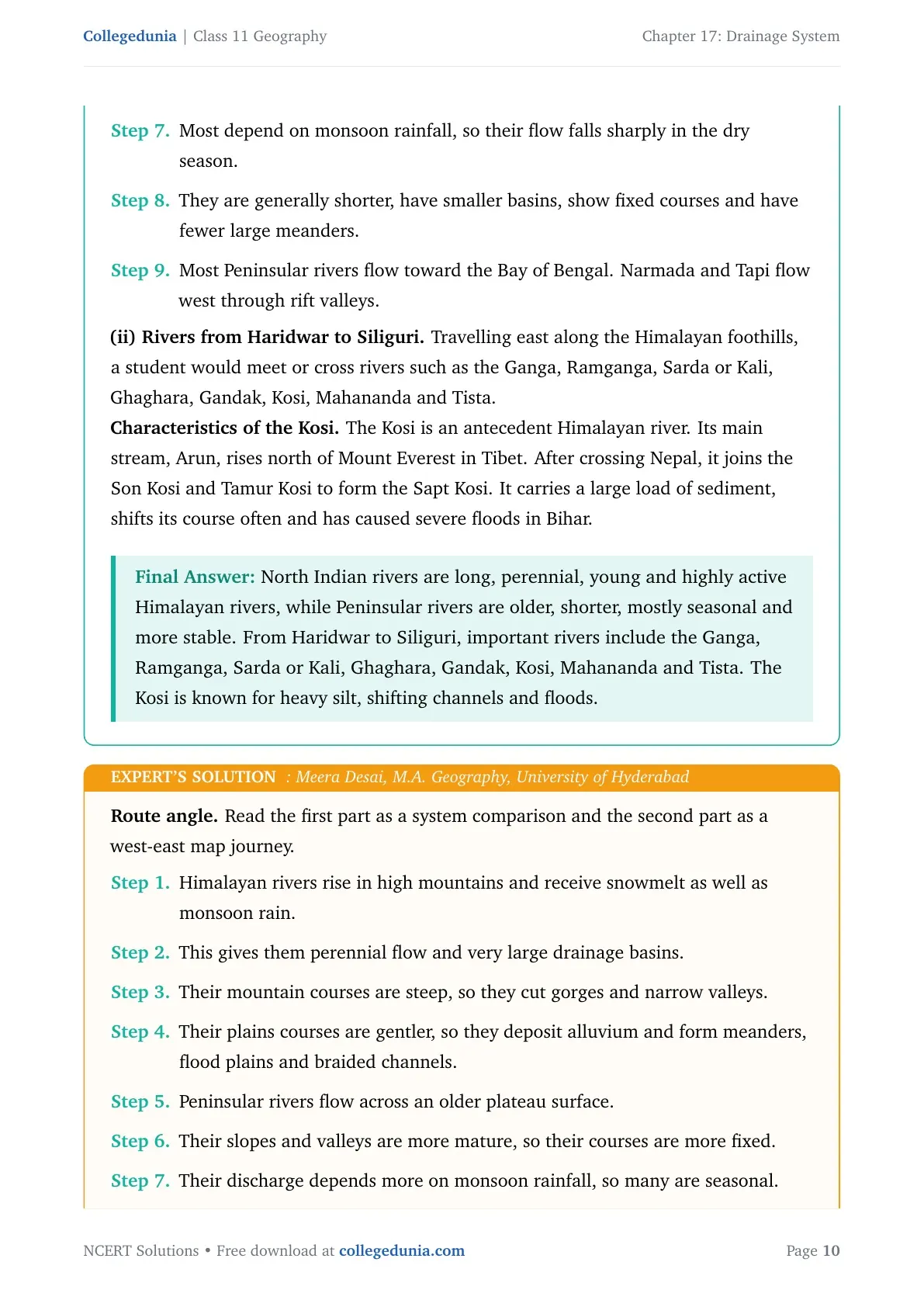
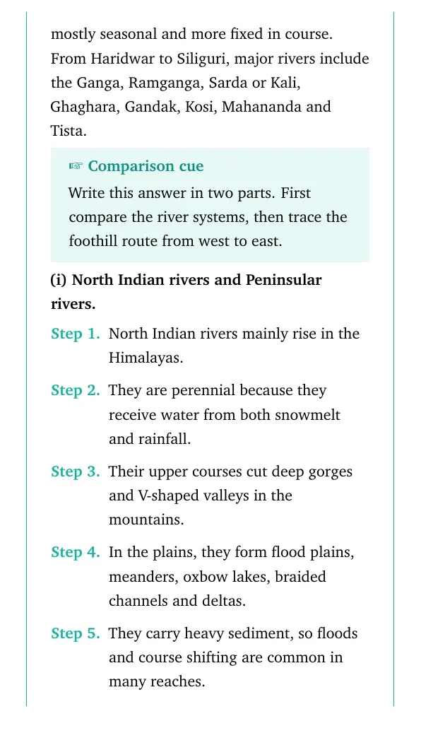
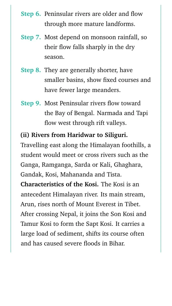
North Indian rivers are mostly Himalayan rivers. They are long, perennial, silt-laden and active because they receive both snowmelt and rainfall. In the mountains they cut deep valleys, and in the plains they form meanders, floodplains, braided channels and deltas.
| Basis | Himalayan rivers | Peninsular rivers |
|---|---|---|
| Source | High Himalayas and glaciers | Peninsular Plateau, Western Ghats and Central Highlands |
| Flow | Perennial, with snowmelt and rainfall | Mostly seasonal, with monsoon dependence |
| Course | Long and shifting in many plains reaches | Shorter, older and more fixed |
| Landforms | Gorges, meanders, floodplains and deltas | Mature valleys, estuaries and some deltas |
Ganga Foothill Route from Haridwar to Siliguri
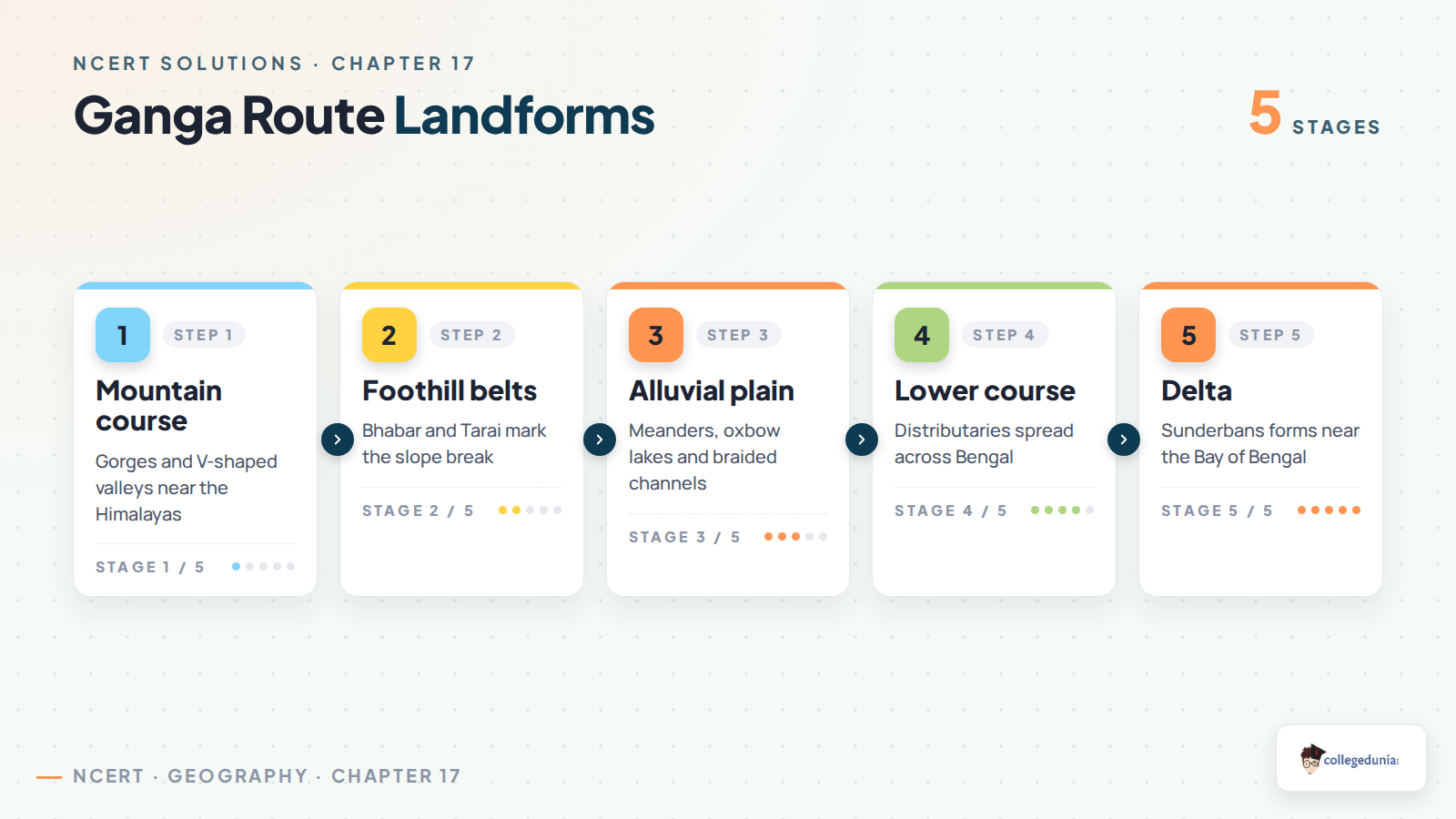
The route question asks students to move from west to east along the Himalayan foothills. The important rivers include the Ganga, Ramganga, Sarda or Kali, Ghaghara, Gandak, Kosi, Mahananda and Tista.
- The Kosi is a strong example because NCERT links it with antecedent origin, heavy sediment and course shifting.
- Its main stream, Arun, rises north of Mount Everest in Tibet and joins other streams in Nepal.
- In the lower plains, high sediment load and channel shifting explain why floods are common.
Common Mistakes Students Make in Drainage System Answers
Watch Out: Most wrong answers come from mixing similar river terms.
- Do not write Kosi for the Sorrow of Bengal. The answer is Damodar.
- Do not include the Indus inside Panchnad. The five rivers are Satluj, Beas, Ravi, Chenab and Jhelum.
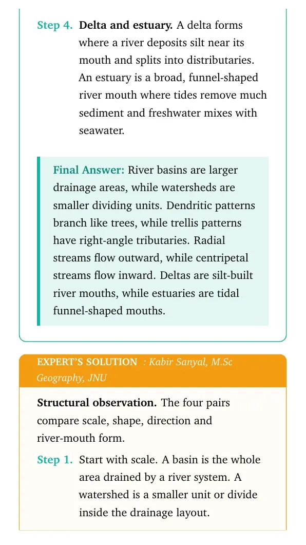
- Do not confuse delta with estuary. A delta is deposition-built, while an estuary is a tidal funnel-shaped mouth.
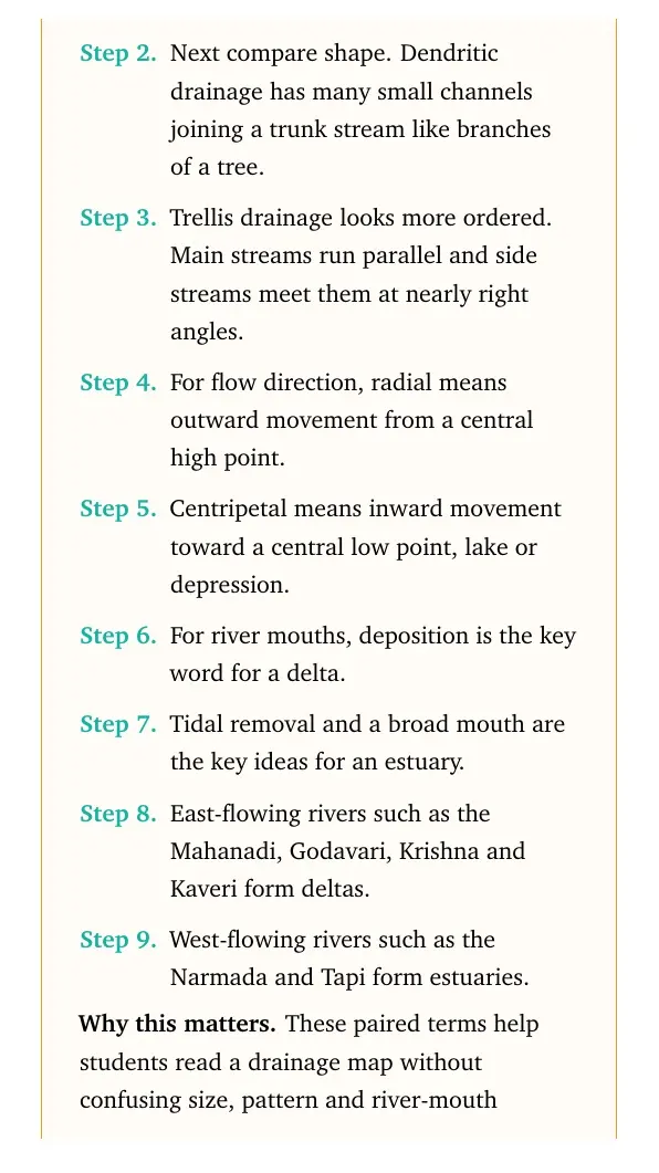
- Do not write that all Peninsular rivers form deltas. Narmada and Tapi form estuaries.
Exam tip: In a 30-word answer, name the term first and then add one reason or example.
How to Use the Class 11 Geography Chapter 17 Solutions PDF
Use the PDF in three rounds. First, learn the five MCQ answers. Second, revise the comparison pairs with the table above. Third, practise the long answer by tracing the rivers on an India map.
- For comparison questions, use paired sentences or a two-column table.
- For river-system answers, mention source, water supply, course and landforms.
- For the route question, keep the west-east order from Haridwar to Siliguri.
Quick recall: drainage answers score better when each fact is attached to a map location.
More Class 11 Geography Chapter 17 Resources
| Resource | Use it for | Link |
|---|---|---|
| NCERT Solutions | All exercise answers and expert explanations | Drainage System Class 11 NCERT Solutions |
| Revision Notes | Quick theory, drainage terms and river examples | Drainage System Class 11 Notes |
| Handwritten Notes | Last-minute visual revision of river systems | Drainage System Class 11 Handwritten Notes |
| NCERT Book PDF | Original textbook reading and maps | Drainage System Class 11 Book PDF |
All Chapters of Class 11 Geography with NCERT Solutions
Use this table to move between the Class 11 Geography NCERT Solutions chapters in order.
All NCERT Solutions for Class 11 Geography Chapter 17 Drainage System with Step-by-Step Solutions
The cards below include every exercise question. Use Check Solution for the direct answer and Expert Solution for a second explanation.
- Each card keeps the direct answer and expert explanation separate.
- The MCQ card includes the checked answer key.
- The route card uses a map-based west-east order.
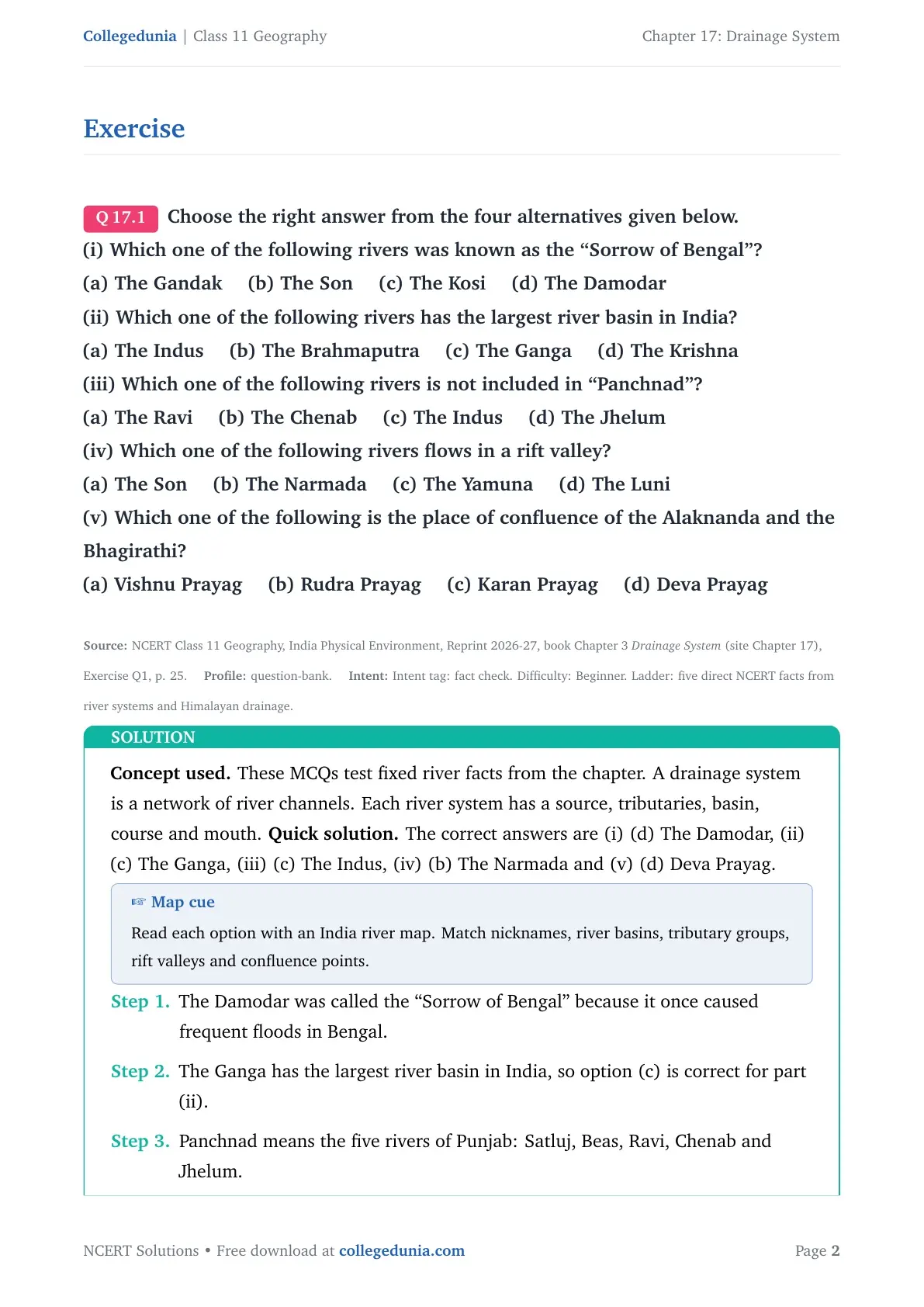
Concept used. The question checks exact river facts from the chapter.
- The Damodar was known as the Sorrow of Bengal.
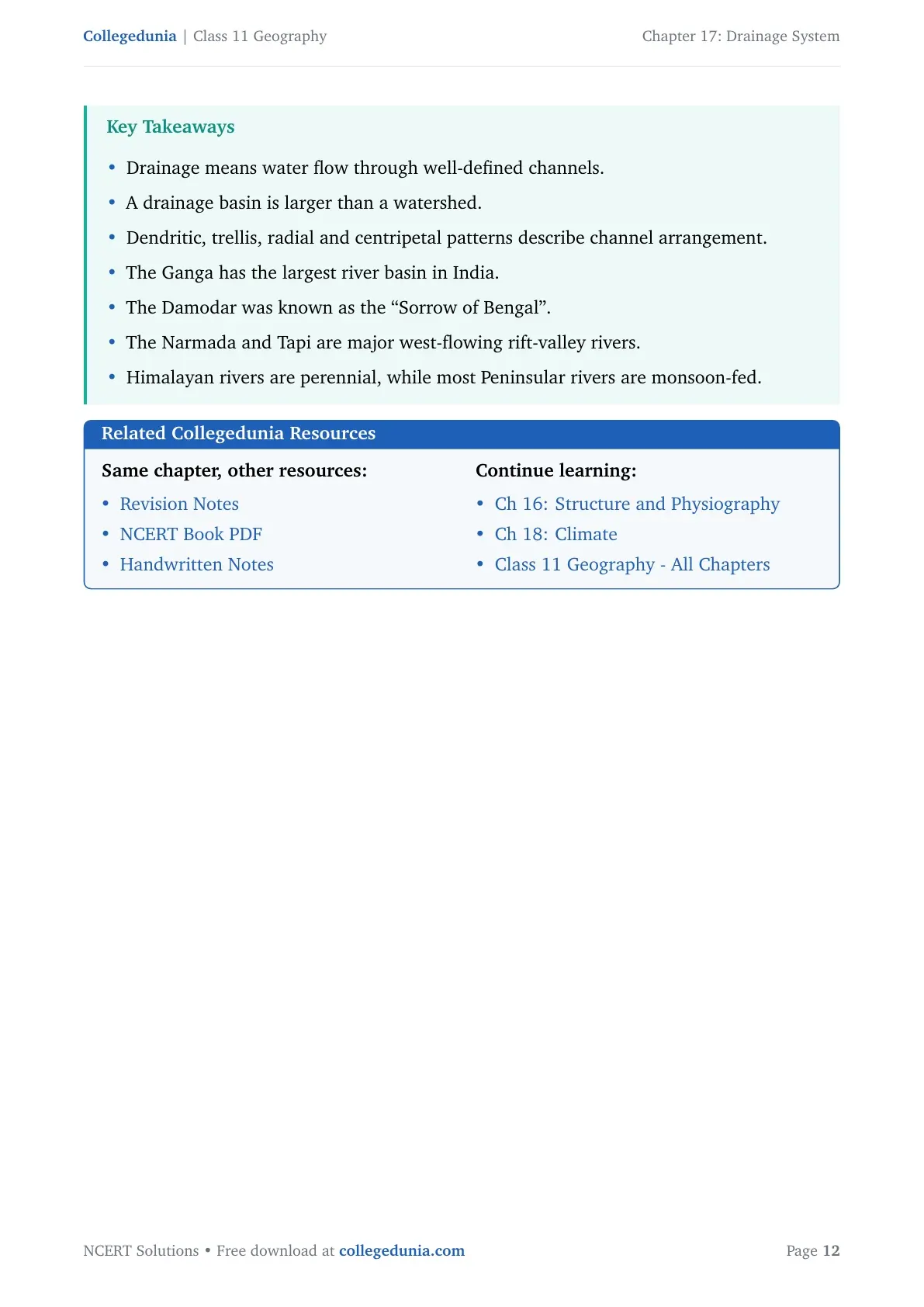
- The Ganga has the largest river basin in India.
- The Indus is not included in Panchnad.
- The Narmada flows through a rift valley.
- Alaknanda and Bhagirathi meet at Deva Prayag.
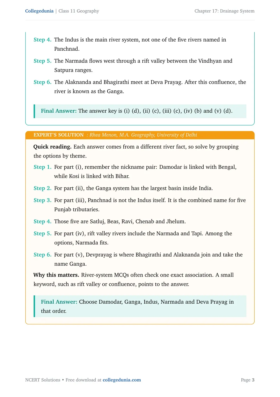
The answer key is (i) d, (ii) c, (iii) c, (iv) b, (v) d.
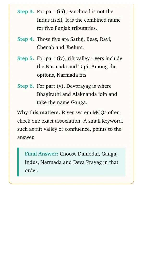
Read each option by its clue. Bengal points to the Damodar, basin size points to the Ganga, Panchnad points to the five Punjab tributaries, rift valley points to Narmada, and the Ganga-name confluence points to Deva Prayag.
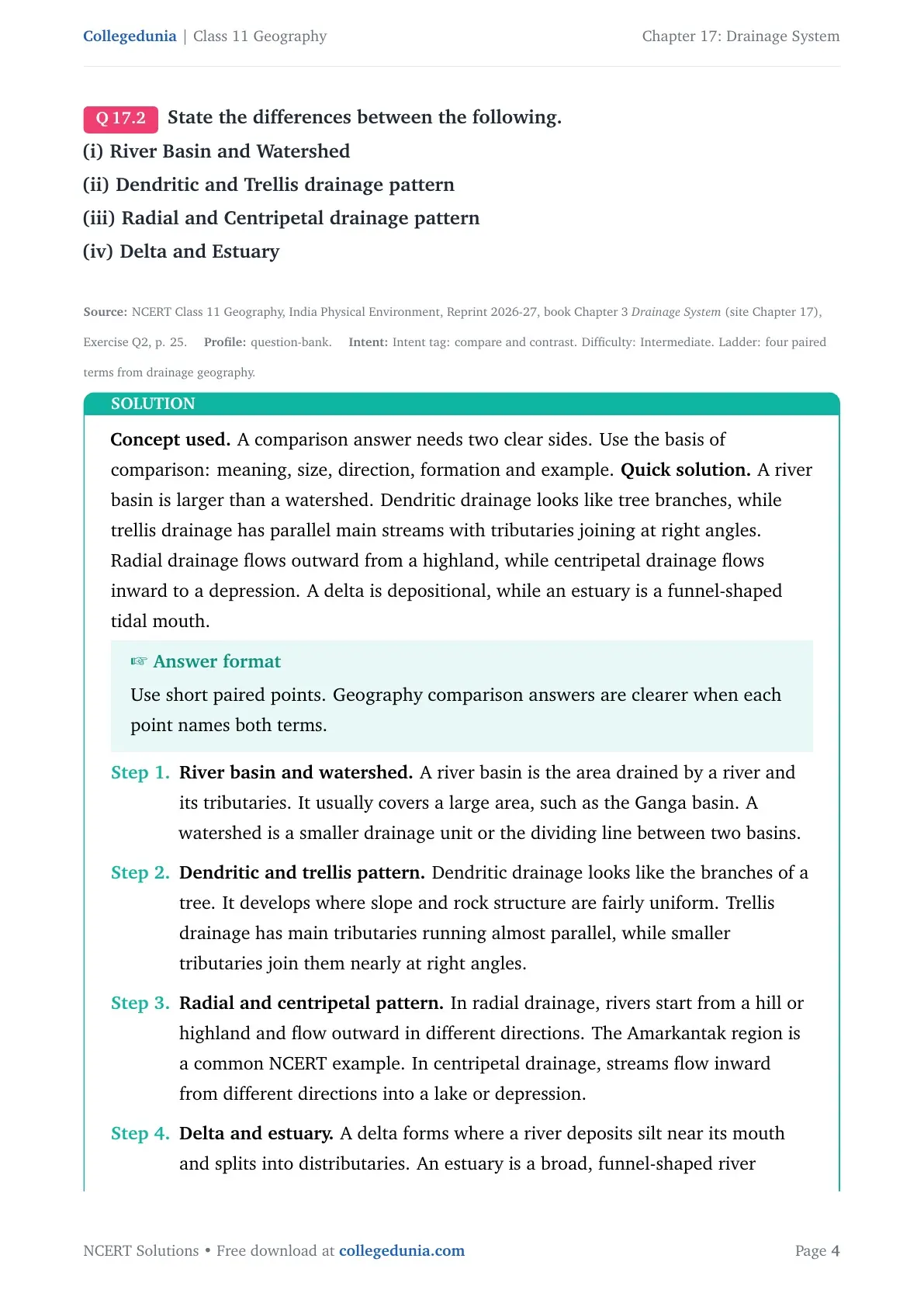
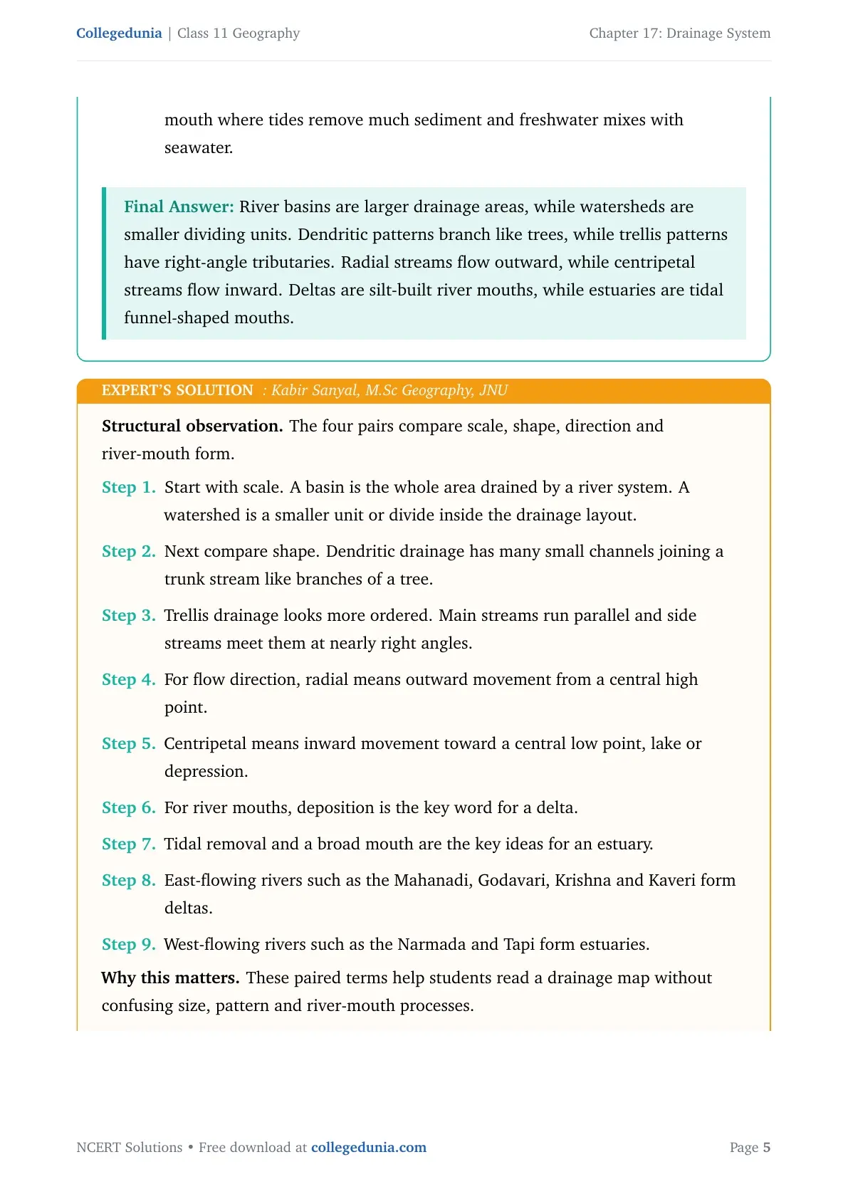
Concept used. Comparison answers need paired points on the same basis.
| River basin | Large area drained by a river system | Watershed | Smaller drainage divide or unit |
| Dendritic | Tree-branch pattern | Trellis | Parallel streams with right-angle tributaries |
| Radial | Streams flow outward from a highland | Centripetal | Streams flow inward to a depression |
| Delta | Silt-built distributary mouth | Estuary | Tidal funnel-shaped mouth |
Keep the four comparisons separate: size for basin and watershed, shape for drainage pattern, direction for radial and centripetal systems, and river-mouth process for delta and estuary. This prevents mixed answers.
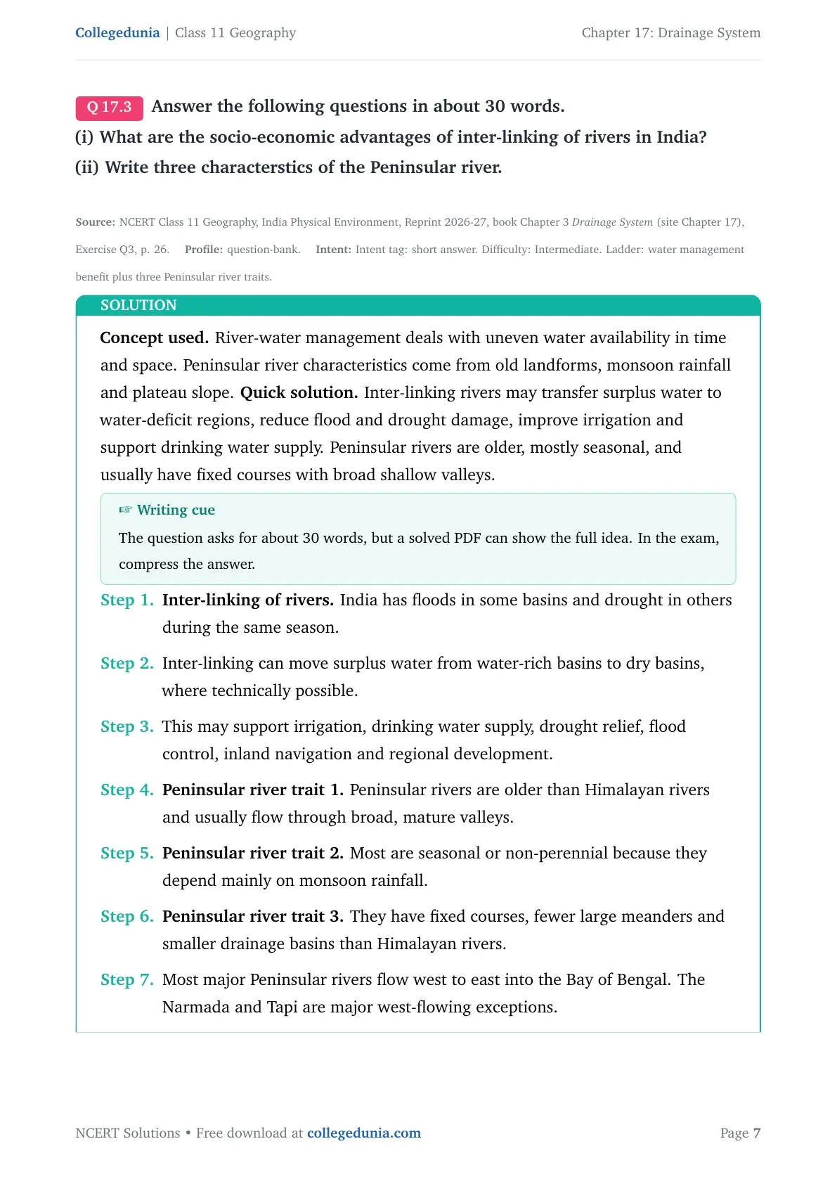
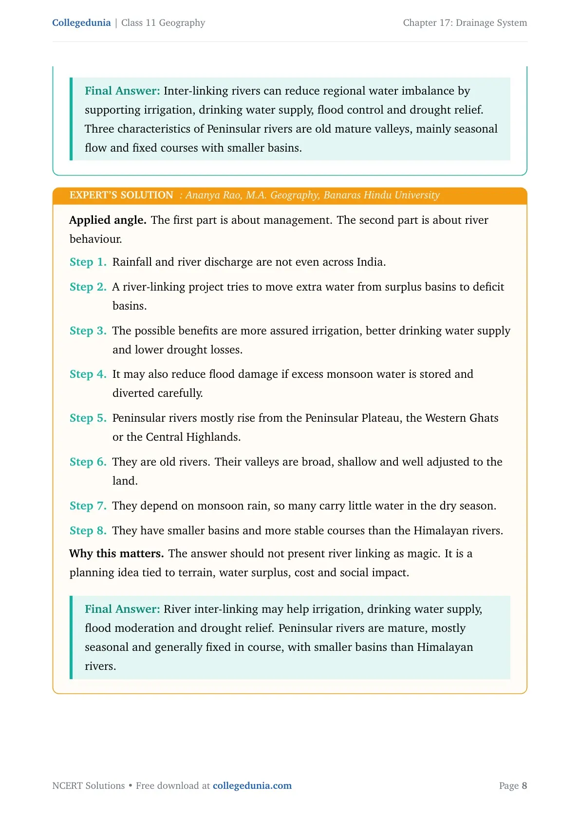
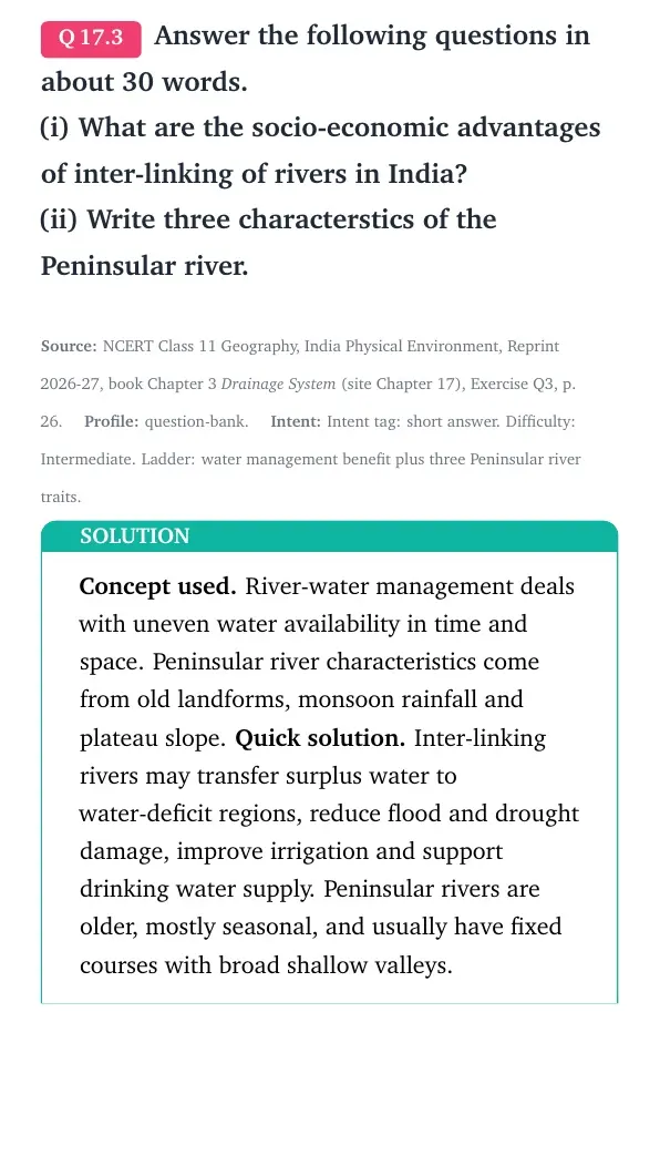
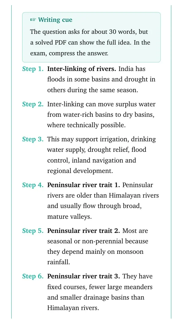
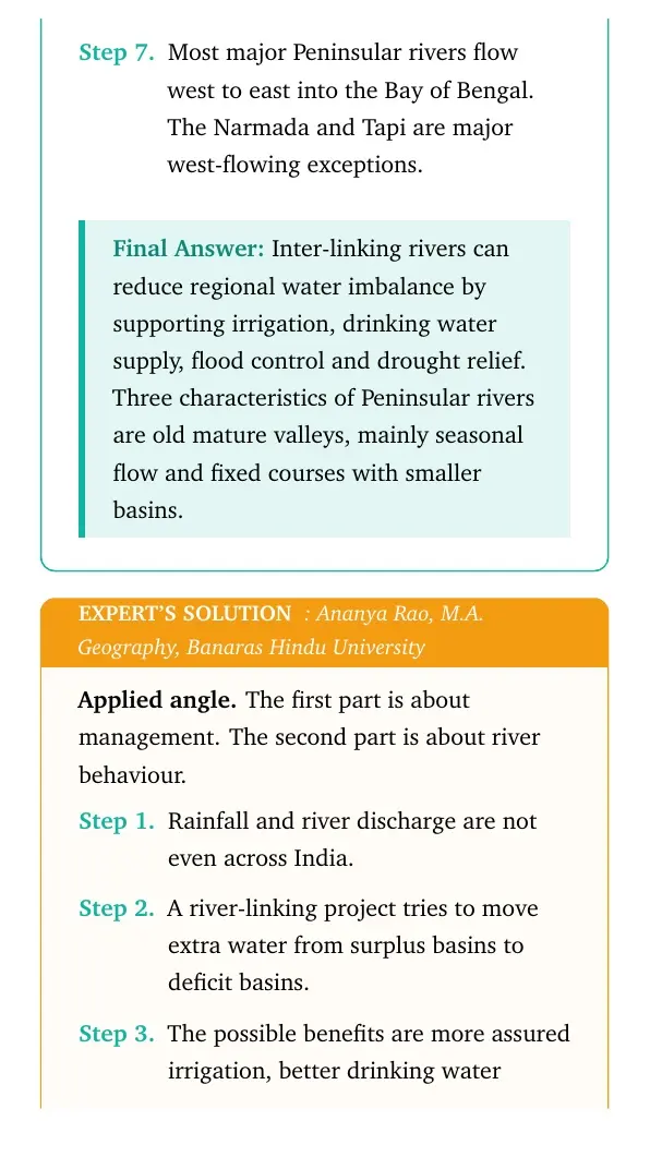
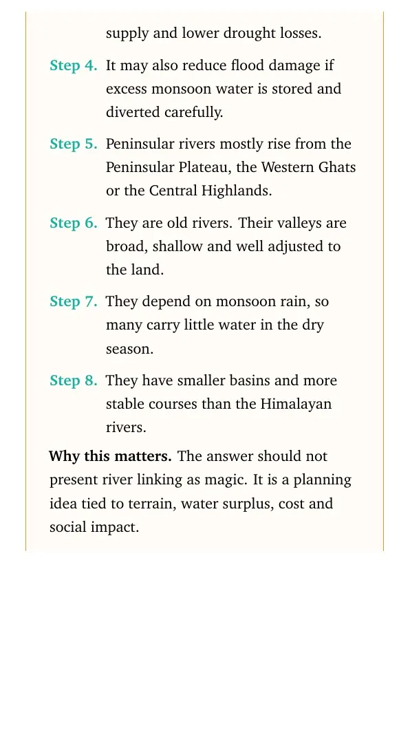
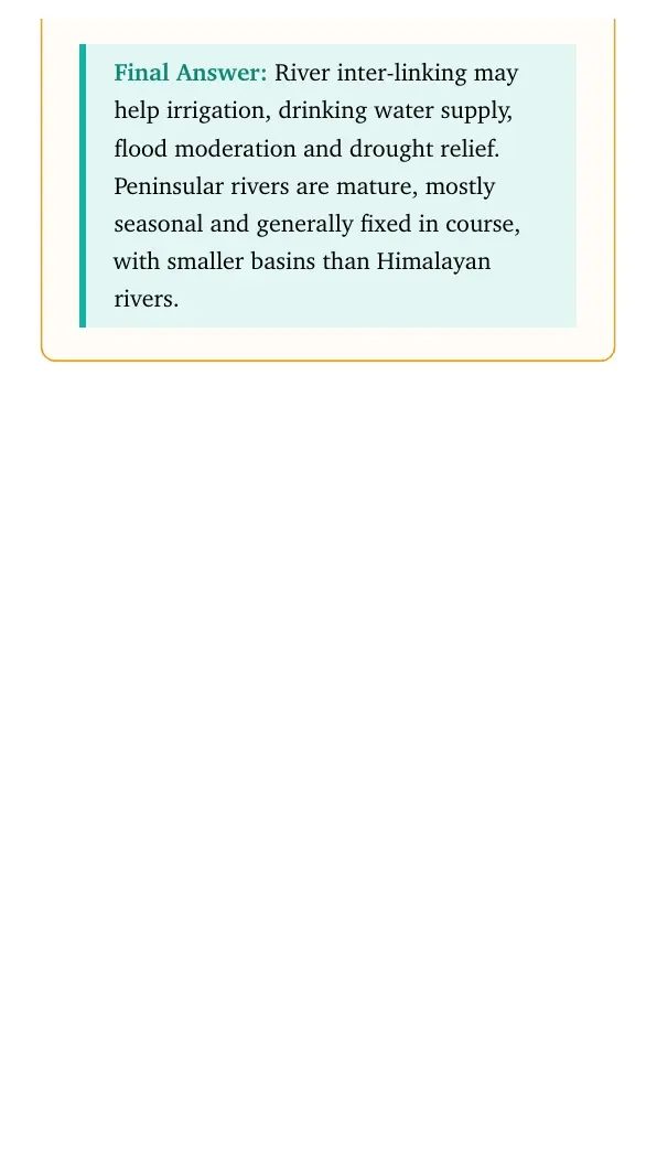
Concept used. Inter-linking rivers deals with water surplus and deficit regions, while Peninsular river traits come from plateau relief and monsoon rainfall.
Inter-linking may support irrigation, drinking water supply, flood control, drought relief, navigation and regional development. Peninsular rivers are older, mostly seasonal and usually have fixed courses with smaller basins.
The first part is a planning answer, so it should mention possible benefits without making exaggerated claims. The second part is a physical geography answer, so it should mention mature valleys, monsoon dependence and stable courses.
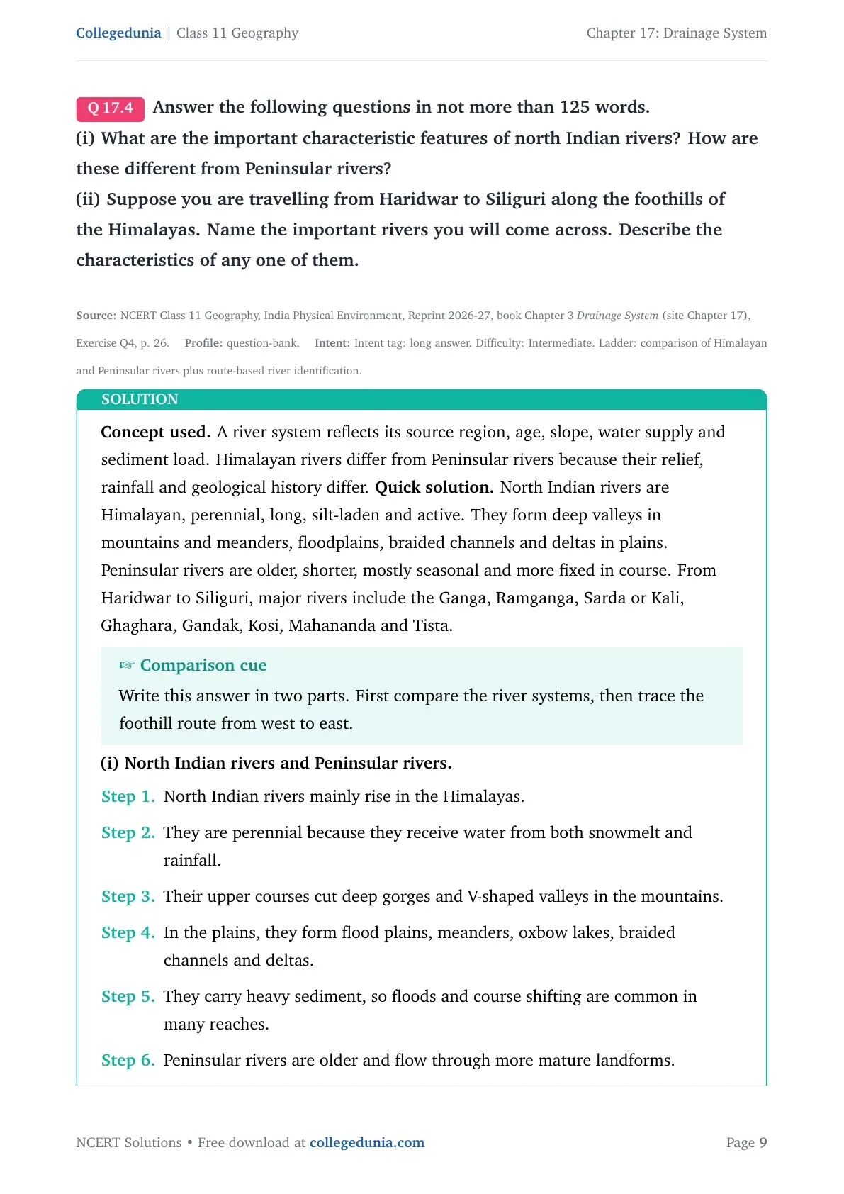
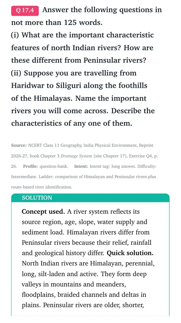
Concept used. River systems reflect source, age, slope, sediment load and water supply.
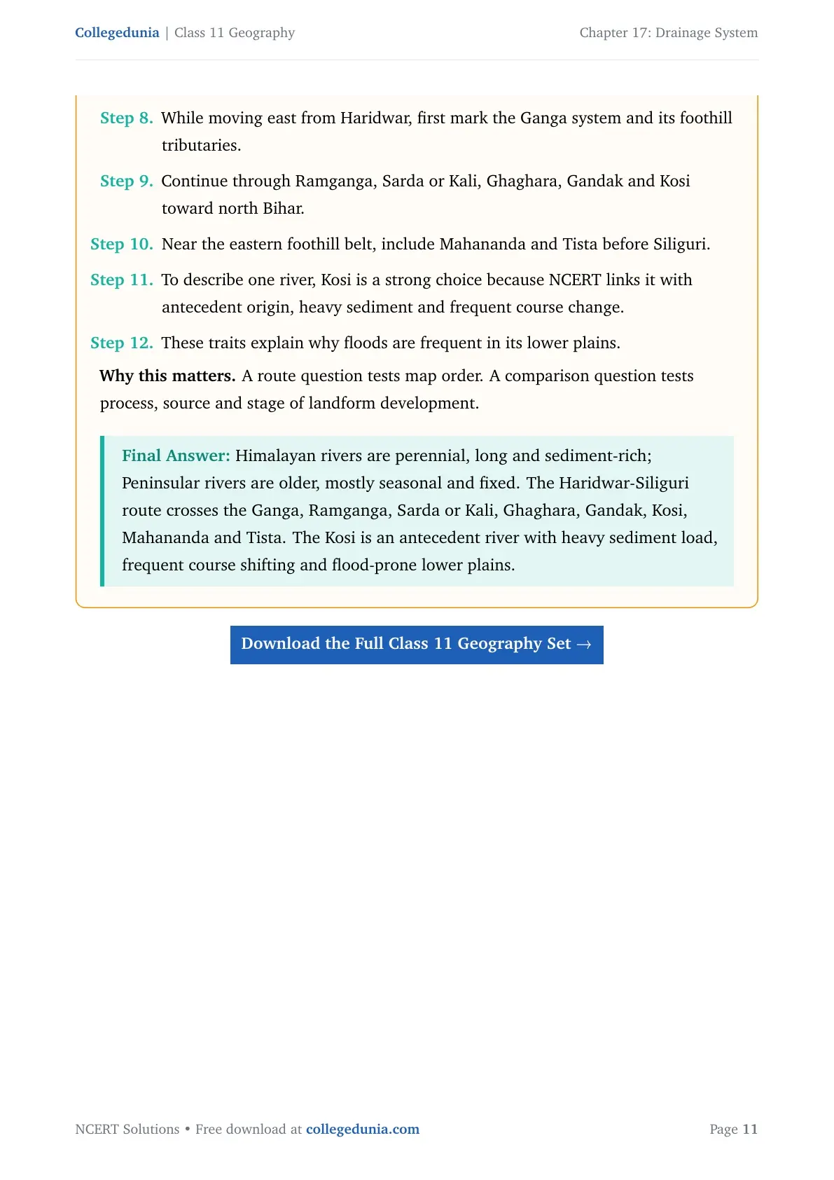
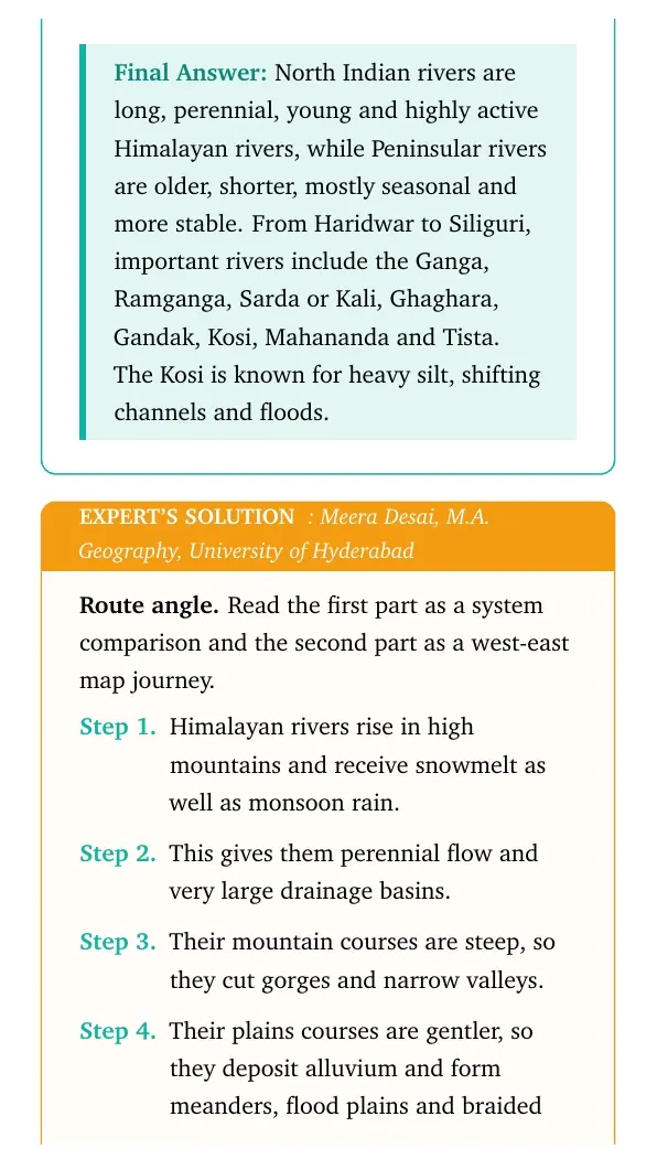
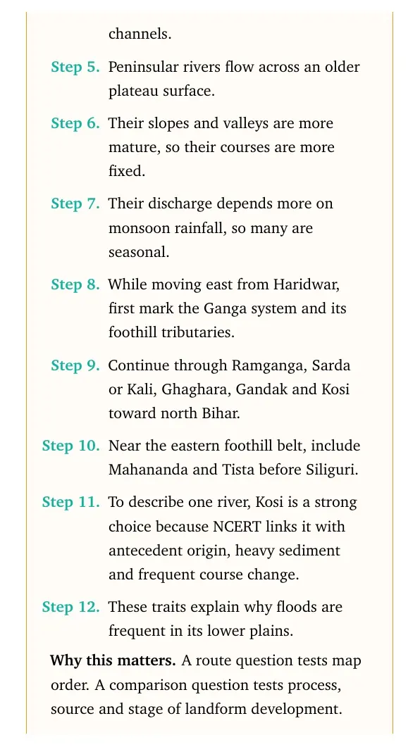
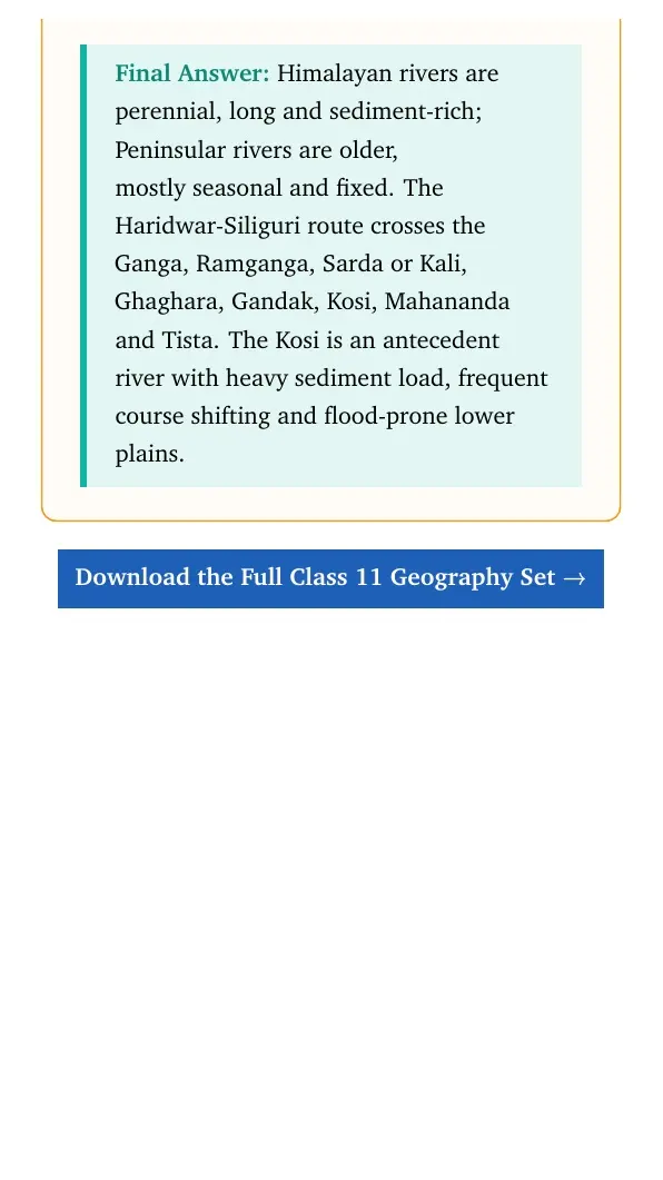
North Indian rivers are Himalayan, long, perennial and sediment-rich. They form gorges in mountains and floodplains, meanders, braided channels and deltas in plains. Peninsular rivers are older, shorter, mostly seasonal and more stable. From Haridwar to Siliguri, important rivers include Ganga, Ramganga, Sarda or Kali, Ghaghara, Gandak, Kosi, Mahananda and Tista.
Write this answer in two blocks. Compare Himalayan and Peninsular rivers first, then trace the foothill route from west to east. Kosi is a good river to describe because it shows antecedent origin, heavy sediment and frequent course change.
Drainage System Class 11 NCERT Solutions FAQs
Ques. How many questions are solved in Class 11 Geography Chapter 17 Drainage System?
Ans. The PDF solves all 4 exercise groups from the 2026-27 NCERT Class 11 Geography Chapter 17 Drainage System textbook.
Ques. Which river was known as the Sorrow of Bengal?
Ans. The Damodar river was known as the Sorrow of Bengal because it caused frequent floods in the lower Bengal region.
Ques. Which river has the largest basin in India?
Ans. The Ganga has the largest river basin in India.
Ques. Are these Drainage System solutions useful for the 2026-27 school exam?
Ans. Yes. The answers follow the latest 2026-27 NCERT exercise and explain river basins, drainage patterns and Indian river systems in Class 11 exam language.



Comments