The NCERT Solutions for Class 11 Geography Chapter 19 Natural Vegetation cover every exercise and project question from the latest 2026-27 NCERT book. The chapter explains forest types, social forestry, biosphere reserves, wildlife conservation and map-work points for Indian natural vegetation.
The PDF solves 5 exercise groups from Natural Vegetation.
The MCQ key follows the NCERT table for UNESCO-recognised biosphere reserves.
Use the embedded cards below for direct answers and expert explanations.
Student Feedback: In a Collegedunia student survey of 11,740 Class 11 Geography students before the 2026 exams, many students said Natural Vegetation becomes easier when forest types, biosphere reserves and conservation steps are revised together.
Each answer in this Class 11 Geography Chapter 19 solutions PDF follows the 2026-27 NCERT exercise and keeps the wording school-exam ready.
Natural Vegetation Answer Key and Exercise Pattern
The exercise starts with direct MCQs and then moves into definition-based answers, 150-word explanations and map activities. Students should first learn the fixed facts, then connect each answer with climate, conservation and location.
Exercise area
Questions
What it checks
MCQs
5 parts
Sandalwood, Project Tiger, Nanda Devi, UNESCO biosphere reserves and forest-policy target
30-word answers
4 parts
Natural vegetation, evergreen forests, social forestry, biosphere reserves and forest cover
150-word answers
2 parts
Forest conservation and people's participation
Project work
2 activities
Map marking and local vegetation survey
The MCQ key used in the PDF is (b), (c), (c), (c) and (a). These answers match the NCERT chapter facts and the exercise table.
Natural Vegetation Video Lesson for Forest Types
The video below is useful for quickly revising evergreen, deciduous, thorn, montane and littoral forests before solving the exercise.
Source: PW OnlyIAS Prarambh
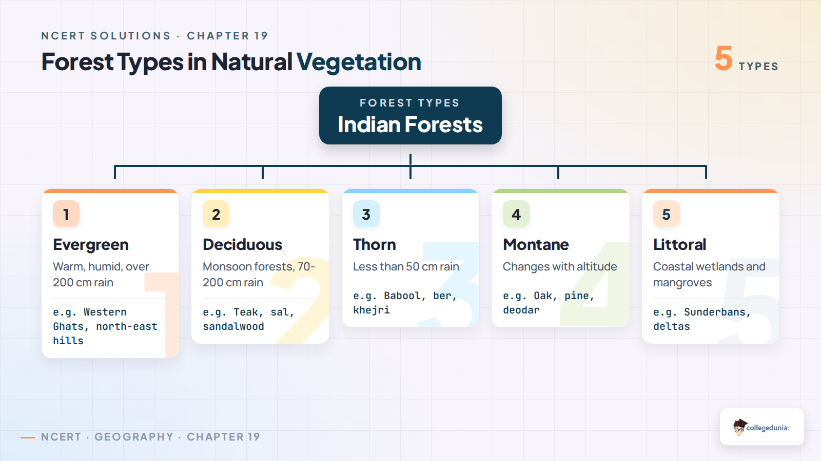
Forest Types in Natural Vegetation Class 11
Natural vegetation means plant growth that has developed mainly under local climate and soil conditions. In this chapter, students need to connect every forest type with rainfall, temperature and location.
Tropical evergreen forests: found in warm and humid regions with more than 200 cm annual rainfall.
Tropical deciduous forests: monsoon forests with trees such as teak, sal, shisham and sandalwood.
Thorn forests: found in dry regions where rainfall is low and plants need water-saving adaptations.
Montane and littoral forests: linked with altitude and coastal wetland conditions.
For one-mark questions, remember sandalwood as a deciduous forest example.
Forest Conservation and Social Forestry in Natural Vegetation
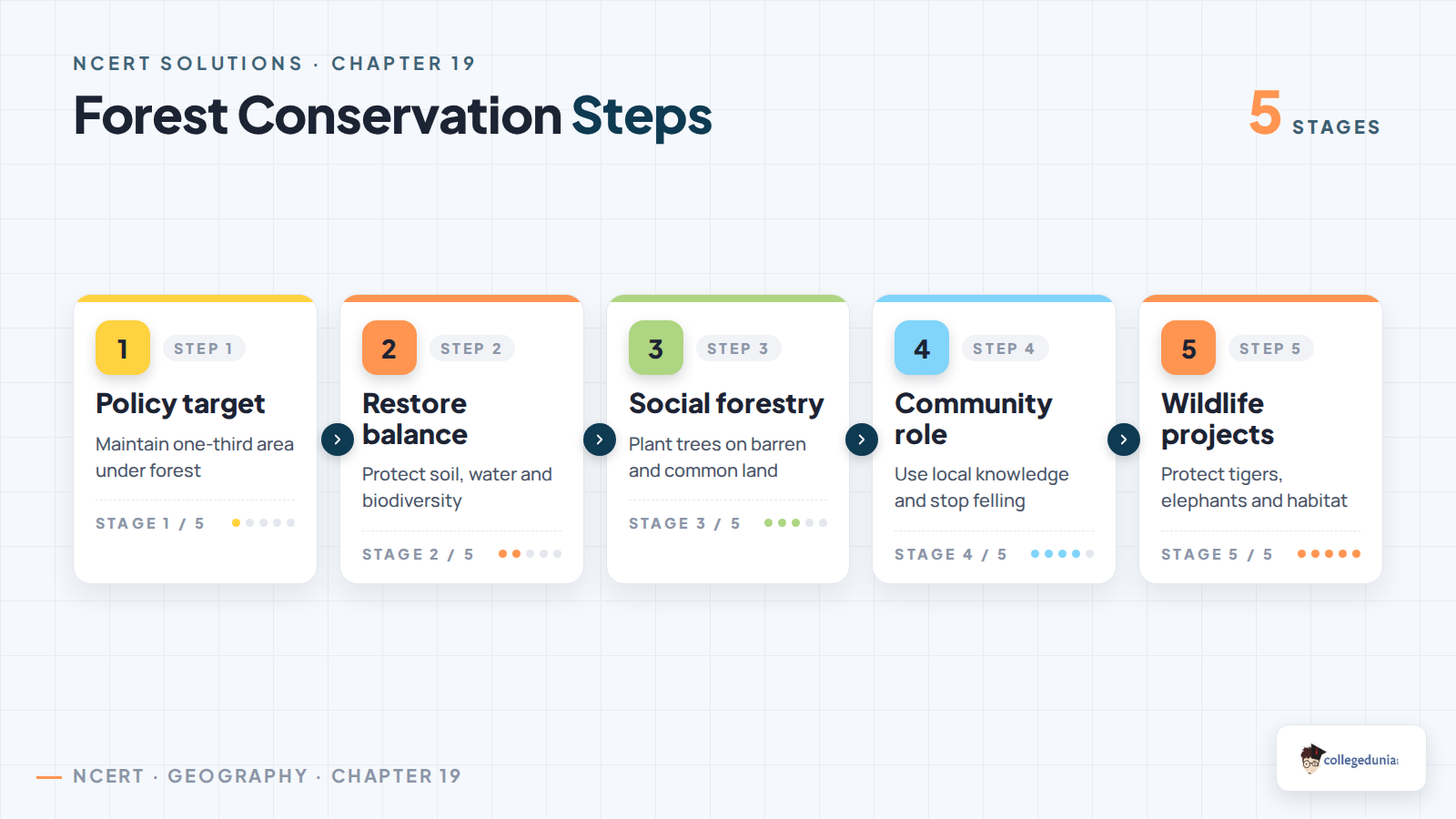
Forest conservation in the chapter is not only about stopping tree cutting. It also includes policy targets, ecological stability, biodiversity protection, social forestry and people-led conservation.
Conservation point
NCERT answer cue
Use in answer
Forest policy
1952 policy, modified in 1988
Shows official direction for sustainable forest management
33 per cent target
One-third geographical area
Fixed fact for MCQ and long answer
Social forestry
Planting trees on barren and common lands
Connects forest cover with rural and social development
People's participation
Local protection and shared benefit
Explains why conservation works better with communities
Exam cue: A strong 150-word answer should join government policy with local participation instead of writing only a list of schemes.
Biosphere Reserves and Wildlife Conservation in Natural Vegetation
Biosphere reserves protect representative ecosystems, plant diversity, wildlife habitats and local livelihoods. The chapter also connects conservation with Project Tiger and other wildlife protection efforts.
Nanda Devi: a Himalayan biosphere reserve in Uttarakhand.
Sunderbans: a mangrove and delta ecosystem in West Bengal.
Gulf of Mannar: a coastal and marine ecosystem near Tamil Nadu.
Nilgiri: a Western Ghats biosphere reserve spread across southern states.
The exercise asks for the UNESCO-recognised count as printed in the NCERT table. Use Twelve for that MCQ because the row follows the textbook exercise.
Natural Vegetation Map Activity for Class 11 Geography
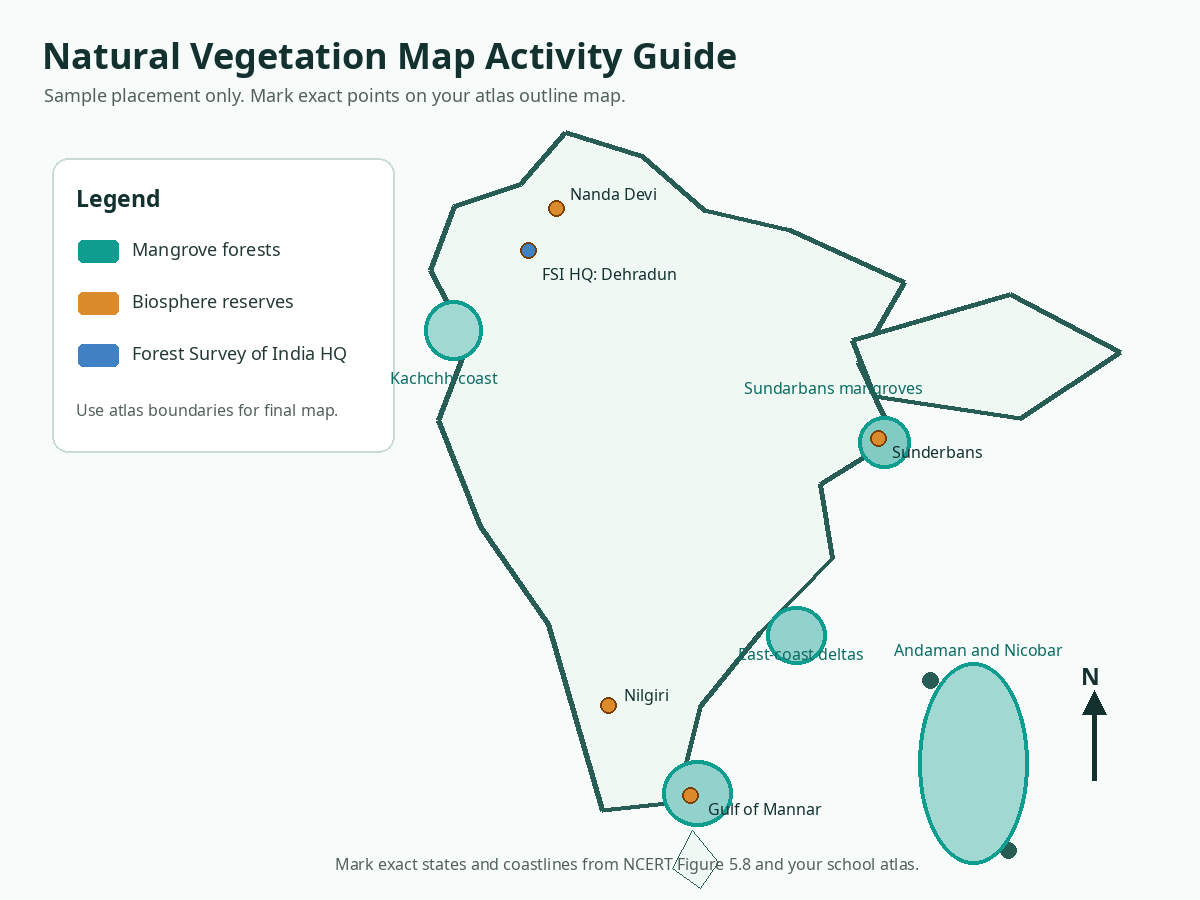
The project activity asks students to mark mangrove areas, selected biosphere reserves and the Forest Survey of India head office. Keep the map neat and use different symbols for each category.
Shade mangroves along the Sunderbans, Andaman and Nicobar Islands, major east-coast deltas and the Kachchh coast.
Mark Nanda Devi in Uttarakhand and Sunderbans in West Bengal.
Mark Gulf of Mannar on the Tamil Nadu coast and Nilgiri in the southern Western Ghats.
Use a star for Forest Survey of India Head Quarter at Dehradun.
Map habit: Add a legend, north arrow and title. These small details make project answers easier to evaluate.
Common Mistakes Students Make in Natural Vegetation Answers
Watch Out: Most wrong answers come from mixing forest type, forest policy and conservation examples.
Do not mark sandalwood as evergreen. The correct MCQ option is deciduous forest.
Do not answer the UNESCO count from a current web list if the exercise is asking from the NCERT table.
Do not confuse forest area with forest cover. One is recorded forest land, the other is actual tree canopy.
Do not write only government steps for people's participation. Add community monitoring, local knowledge and shared benefit.
Practice cue: Write vegetation answers with this order: definition, condition, example and conservation link.
How to Use the Class 11 Geography Chapter 19 Solutions PDF
Use the PDF in three rounds. First, learn the five MCQ answers. Second, practise the short definitions. Third, write the forest conservation and participation answers from memory with the tables above.
For tropical evergreen forests, attach rainfall and temperature conditions to the definition.
For social forestry, mention barren land, common land and rural development.
For biosphere reserves, name at least two examples with their location.
For project work, prepare map labels before drawing the final outline map.
Revision habit: Mark every answer with one place name. Geography answers become stronger when facts stay mapped.
Natural Hazards and Disasters Class 11 NCERT Solutions
All NCERT Solutions for Class 11 Geography Chapter 19 Natural Vegetation with Step-by-Step Solutions
The cards below include every exercise and project question. Use Check Solution for the direct answer and Expert Solution for a second explanation.
Each card keeps the direct answer and expert explanation separate.
The MCQ card includes the checked NCERT answer key.
The project cards include map and survey guidance for school work.
Questions
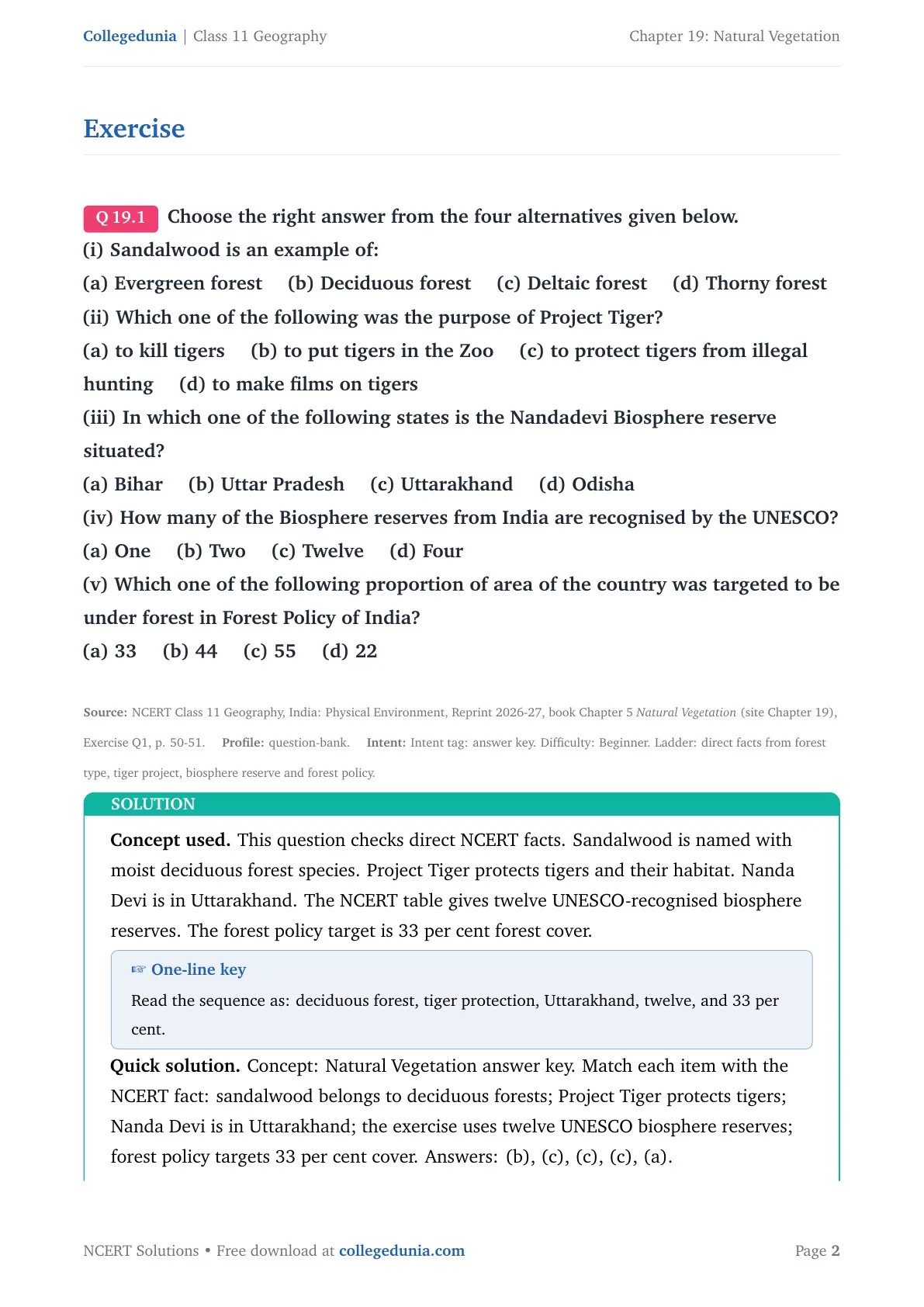
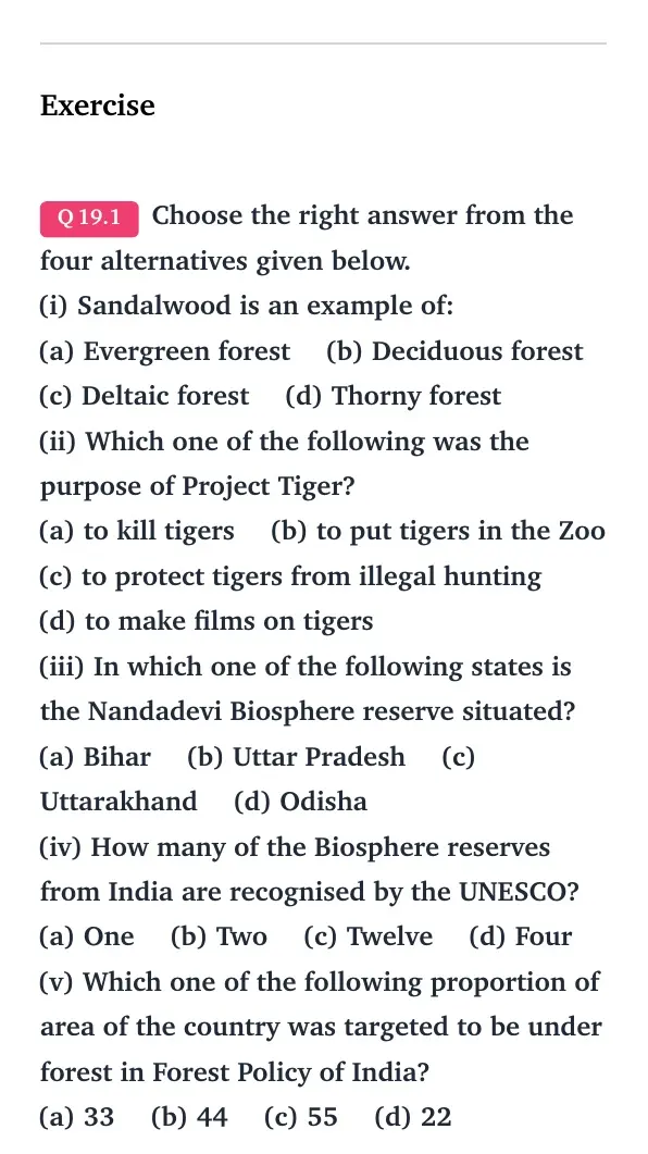
Q 19.1
Choose the right answer from the four alternatives given below.
(i) Sandalwood is an example of:
(a) Evergreen forest (b) Deciduous forest (c) Deltaic forest (d) Thorny forest
(ii) Which one of the following was the purpose of Project Tiger?
(a) to kill tigers (b) to put tigers in the Zoo (c) to protect tigers from illegal hunting (d) to make films on tigers
(iii) In which one of the following states is the Nandadevi Biosphere reserve situated?
(a) Bihar (b) Uttar Pradesh (c) Uttarakhand (d) Odisha
(iv) How many of the Biosphere reserves from India are recognised by the UNESCO?
(a) One (b) Two (c) Twelve (d) Four
(v) Which one of the following proportion of area of the country was targeted to be under forest in Forest Policy of India?
(a) 33 (b) 44 (c) 55 (d) 22
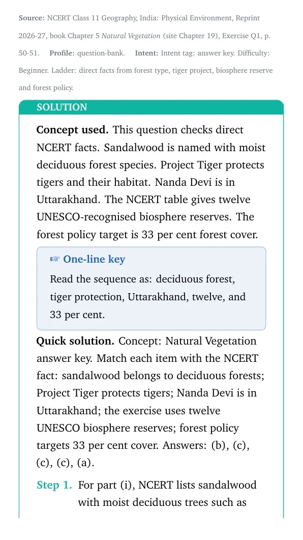
Concept used. This question checks direct NCERT facts. Sandalwood is named with moist deciduous forest species. Project Tiger protects tigers and their habitat. Nanda Devi is in Uttarakhand. The NCERT table gives twelve UNESCO-recognised biosphere reserves. The forest policy target is 33 per cent forest cover.
One-line key
Read the sequence as: deciduous forest, tiger protection, Uttarakhand, twelve, and 33 per cent.
Concept: Natural Vegetation answer key. Match each item with the NCERT fact: sandalwood belongs to deciduous forests; Project Tiger protects tigers; Nanda Devi is in Uttarakhand; the exercise uses twelve UNESCO biosphere reserves; forest policy targets 33 per cent cover. Answers: (b), (c), (c), (c), (a).
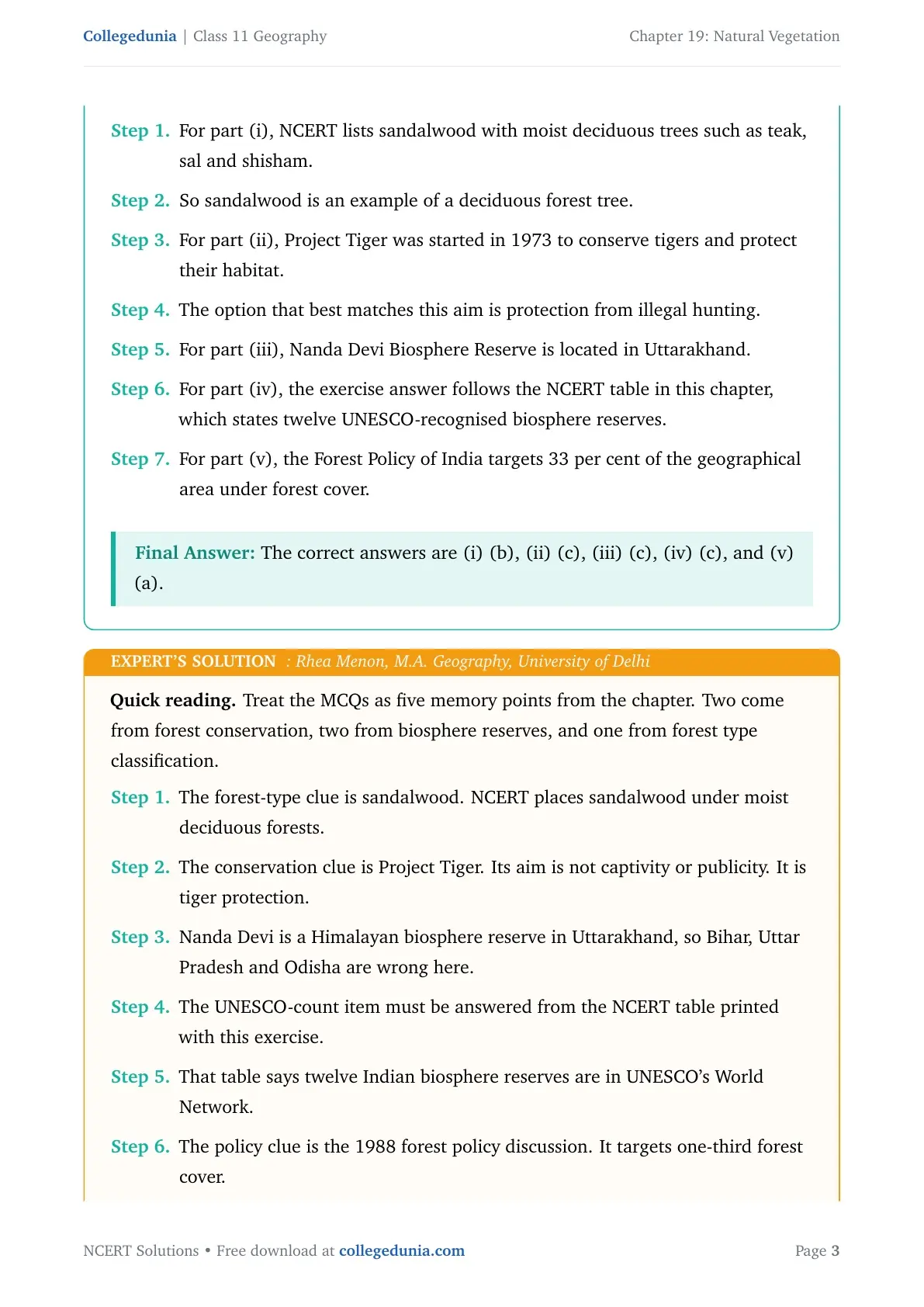
For part (i), NCERT lists sandalwood with moist deciduous trees such as teak, sal and shisham.
So sandalwood is an example of a deciduous forest tree.
For part (ii), Project Tiger was started in 1973 to conserve tigers and protect their habitat.
The option that best matches this aim is protection from illegal hunting.
For part (iii), Nanda Devi Biosphere Reserve is located in Uttarakhand.
For part (iv), the exercise answer follows the NCERT table in this chapter, which states twelve UNESCO-recognised biosphere reserves.
For part (v), the Forest Policy of India targets 33 per cent of the geographical area under forest cover.
The correct answers are (i) (b), (ii) (c), (iii) (c), (iv) (c), and (v) (a).
RM
Rhea Menon
M.A. Geography, University of Delhi
Verified Expert
Quick reading. Treat the MCQs as five memory points from the chapter. Two come from forest conservation, two from biosphere reserves, and one from forest type classification.
The forest-type clue is sandalwood. NCERT places sandalwood under moist deciduous forests.
The conservation clue is Project Tiger. Its aim is not captivity or publicity. It is tiger protection.
Nanda Devi is a Himalayan biosphere reserve in Uttarakhand, so Bihar, Uttar Pradesh and Odisha are wrong here.
The UNESCO-count item must be answered from the NCERT table printed with this exercise.
That table says twelve Indian biosphere reserves are in UNESCO's World Network.
The policy clue is the 1988 forest policy discussion. It targets one-third forest cover.
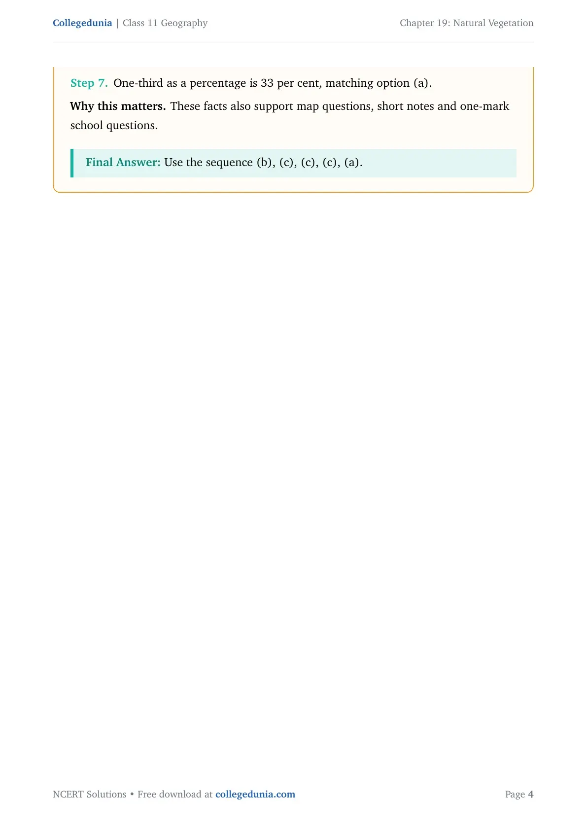
One-third as a percentage is 33 per cent, matching option (a).
Why this matters. These facts also support map questions, short notes and one-mark school questions.
Use the sequence (b), (c), (c), (c), (a).
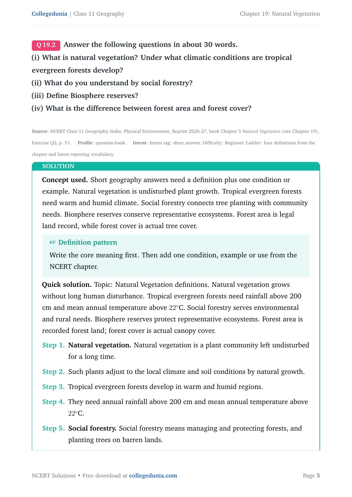
Q 19.2
Answer the following questions in about 30 words.
(i) What is natural vegetation? Under what climatic conditions are tropical evergreen forests develop?
(ii) What do you understand by social forestry?
(iii) Define Biosphere reserves?
(iv) What is the difference between forest area and forest cover?
Concept used. Short geography answers need a definition plus one condition or example. Natural vegetation is undisturbed plant growth. Tropical evergreen forests need warm and humid climate. Social forestry connects tree planting with community needs. Biosphere reserves conserve representative ecosystems. Forest area is legal land record, while forest cover is actual tree cover.
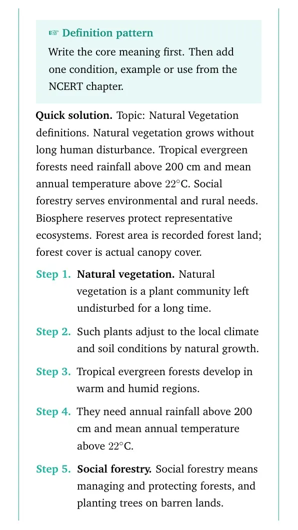
Definition pattern
Write the core meaning first. Then add one condition, example or use from the NCERT chapter.
Topic: Natural Vegetation definitions. Natural vegetation grows without long human disturbance. Tropical evergreen forests need rainfall above 200 cm and mean annual temperature above 22∘C. Social forestry serves environmental and rural needs. Biosphere reserves protect representative ecosystems. Forest area is recorded forest land; forest cover is actual canopy cover.
Natural vegetation. Natural vegetation is a plant community left undisturbed for a long time.
Such plants adjust to the local climate and soil conditions by natural growth.
Tropical evergreen forests develop in warm and humid regions.
They need annual rainfall above 200 cm and mean annual temperature above 22∘C.
Social forestry. Social forestry means managing and protecting forests, and planting trees on barren lands.
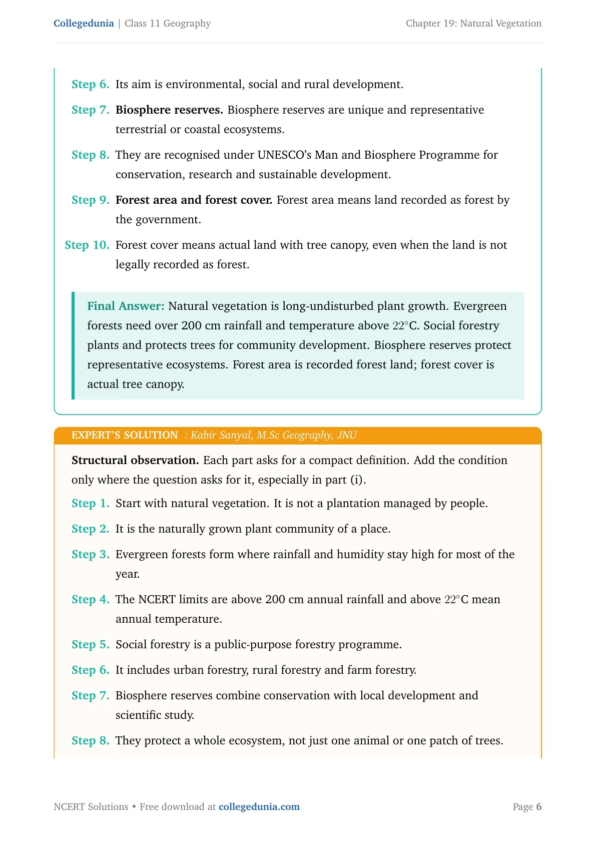
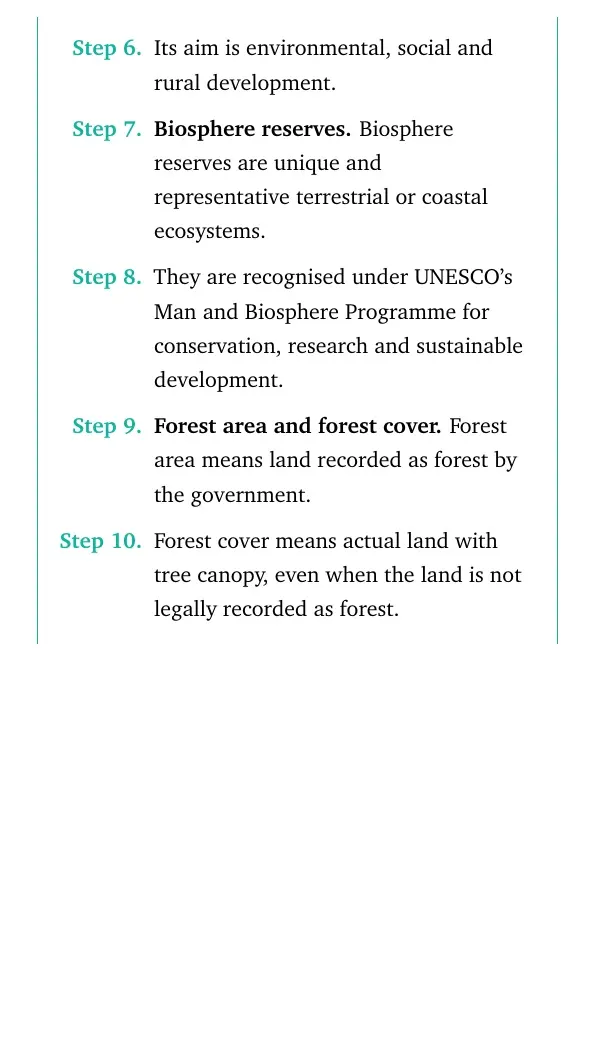
Its aim is environmental, social and rural development.
Biosphere reserves. Biosphere reserves are unique and representative terrestrial or coastal ecosystems.
They are recognised under UNESCO's Man and Biosphere Programme for conservation, research and sustainable development.
Forest area and forest cover. Forest area means land recorded as forest by the government.
Forest cover means actual land with tree canopy, even when the land is not legally recorded as forest.
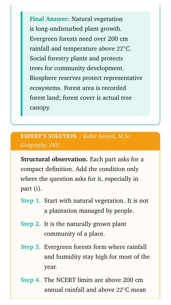
Natural vegetation is long-undisturbed plant growth. Evergreen forests need over 200 cm rainfall and temperature above 22∘C. Social forestry plants and protects trees for community development. Biosphere reserves protect representative ecosystems. Forest area is recorded forest land; forest cover is actual tree canopy.
KS
Kabir Sanyal
M.Sc Geography, JNU
Verified Expert
Structural observation. Each part asks for a compact definition. Add the condition only where the question asks for it, especially in part (i).
Start with natural vegetation. It is not a plantation managed by people.
It is the naturally grown plant community of a place.
Evergreen forests form where rainfall and humidity stay high for most of the year.
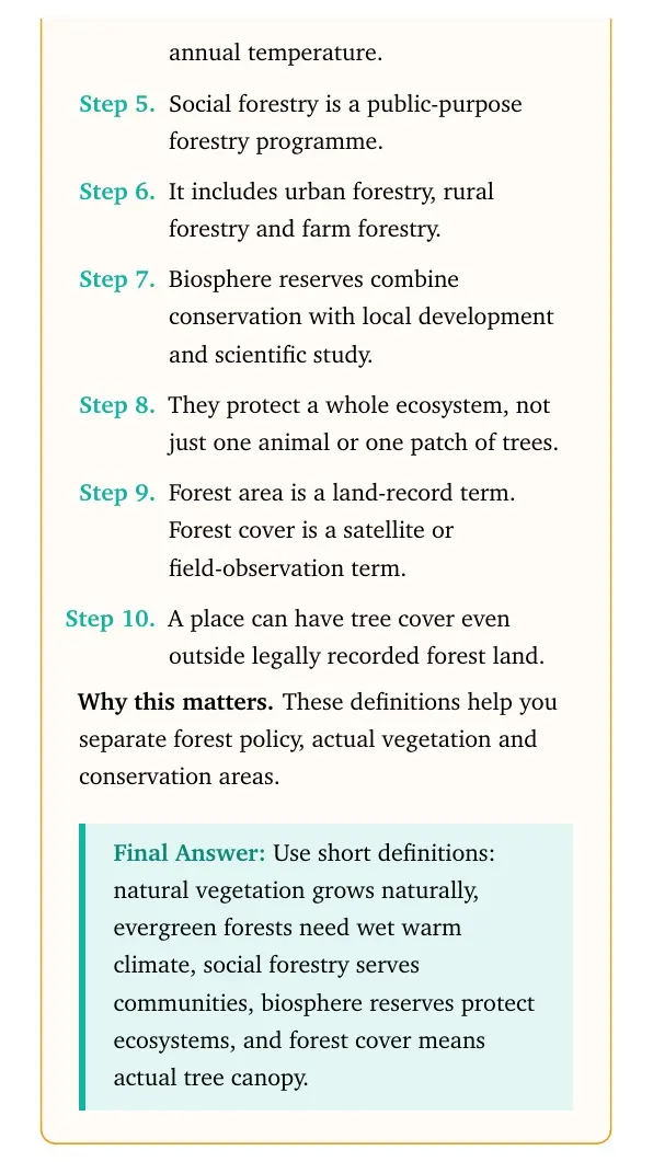
The NCERT limits are above 200 cm annual rainfall and above 22∘C mean annual temperature.
Social forestry is a public-purpose forestry programme.
It includes urban forestry, rural forestry and farm forestry.
Biosphere reserves combine conservation with local development and scientific study.
They protect a whole ecosystem, not just one animal or one patch of trees.
Forest area is a land-record term. Forest cover is a satellite or field-observation term.
A place can have tree cover even outside legally recorded forest land.
Why this matters. These definitions help you separate forest policy, actual vegetation and conservation areas.
Use short definitions: natural vegetation grows naturally, evergreen forests need wet warm climate, social forestry serves communities, biosphere reserves protect ecosystems, and forest cover means actual tree canopy.
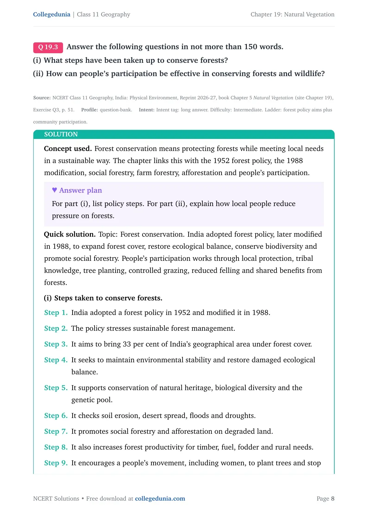
Q 19.3
Answer the following questions in not more than 150 words.
(i) What steps have been taken up to conserve forests?
(ii) How can people's participation be effective in conserving forests and wildlife?
Concept used. Forest conservation means protecting forests while meeting local needs in a sustainable way. The chapter links this with the 1952 forest policy, the 1988 modification, social forestry, farm forestry, afforestation and people's participation.
Answer plan
For part (i), list policy steps. For part (ii), explain how local people reduce pressure on forests.
Topic: Forest conservation. India adopted forest policy, later modified in 1988, to expand forest cover, restore ecological balance, conserve biodiversity and promote social forestry. People's participation works through local protection, tribal knowledge, tree planting, controlled grazing, reduced felling and shared benefits from forests.
(i) Steps taken to conserve forests.
India adopted a forest policy in 1952 and modified it in 1988.
The policy stresses sustainable forest management.
It aims to bring 33 per cent of India's geographical area under forest cover.
It seeks to maintain environmental stability and restore damaged ecological balance.
It supports conservation of natural heritage, biological diversity and the genetic pool.
It checks soil erosion, desert spread, floods and droughts.
It promotes social forestry and afforestation on degraded land.
It also increases forest productivity for timber, fuel, fodder and rural needs.
It encourages a people's movement, including women, to plant trees and stop tree felling.
(ii) People's participation in conservation.
Local people live closest to forests, so they can notice illegal felling and hunting quickly.
Tribal communities have long knowledge of forest species, seasons and sustainable use.
Community forestry lets people raise trees on common land, road sides, canal banks and school land.
Farm forestry lets farmers grow trees on field margins, pastures and land around homes.
If villagers get fodder, fuelwood and minor forest produce legally, pressure on natural forests falls.
Women can lead plantation drives because they often collect fuelwood and water.
School nature clubs can map local species, report forest fires and protect nesting sites.
Conservation becomes effective when local people get both responsibility and benefits.
Forest conservation is carried out through forest policy, 33 per cent forest-cover target, biodiversity protection, ecological restoration, social forestry, afforestation and people's movements. People's participation works when local communities protect forests, use tribal knowledge, plant trees, reduce pressure on natural forests and share conservation benefits.
AR
Ananya Rao
M.A. Geography, Banaras Hindu University
Verified Expert
Applied angle. Build the answer around two linked ideas: government policy gives the rules, and people make them work on the ground.
The policy side begins with the national forest policy and its 1988 update.
The updated aim is not only commercial timber. It is sustainable management.
The 33 per cent forest-cover target gives the policy a measurable direction.
Conservation also means stabilising soil, water, climate and biodiversity.
The policy also protects genetic resources, because forests hold many plant and animal species.
Soil erosion, desert spread, floods and droughts are listed because forests control water flow and bind soil.
Social forestry expands tree cover outside dense natural forests.
Urban forestry covers parks, roadsides and green belts.
Rural and farm forestry add trees to village common land and farm margins.
The people's side matters because forests are part of daily life in many villages.
Communities can stop illegal cutting, control grazing and prevent forest fires.
Tribal knowledge can guide the choice of species and the right season for collection.
Conservation lasts longer when people get fuel, fodder and minor forest produce without destroying the forest.
This is why NCERT says tribal people should be treated as growers and partners, not only collectors.
A strong answer should join both sides: state action, local action and shared benefit.
Why this matters. Forest protection is strongest when rules, local knowledge and shared benefits work together. If people lose access to all forest needs, pressure returns through illegal cutting. If they share benefits, they also protect the resource.
India conserves forests through policy, afforestation, social forestry, biodiversity protection and community movements. People's participation helps through local monitoring, tribal knowledge, tree planting, controlled use and shared benefits.
Q 19.4
Project/Activity
1. On the outline map of India, mark and label the following.
(i) Areas having Mangrove forests.
(ii) Biosphere reserves of Nanda Devi, Sunderbans, Gulf of Mannar and Nilgiri.
(iii) Mark the location of Forest Survey of India Head Quarter.
Concept used. A map activity checks location, not paragraph memory. Use the NCERT biosphere reserve map, a school atlas and the chapter description of mangrove forests before marking the outline map.
Map method
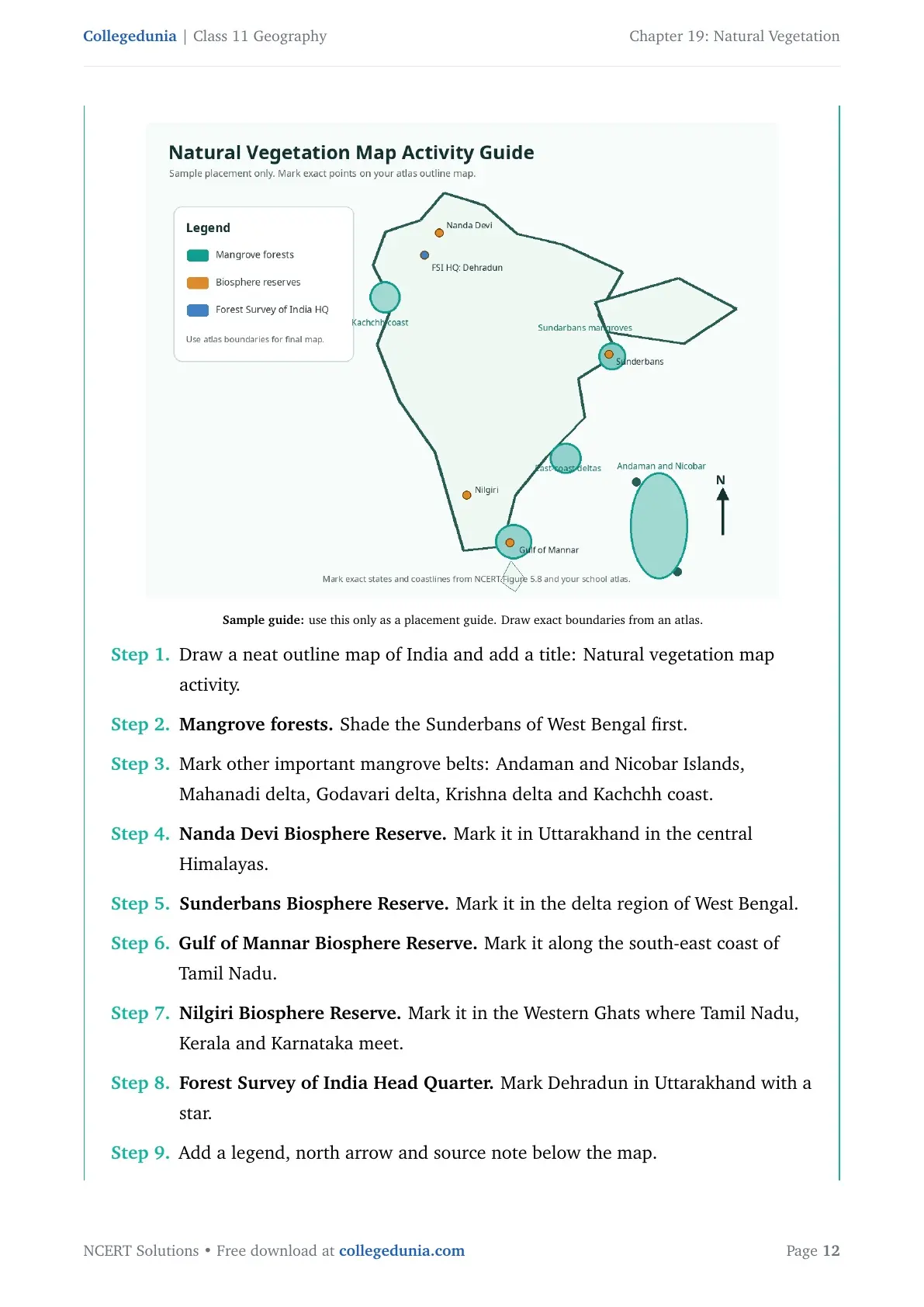
Use three symbols: green shading for mangroves, dots for biosphere reserves and a star for Forest Survey of India.
Mark mangroves in the Sunderbans, Andaman and Nicobar Islands, Mahanadi, Godavari and Krishna deltas, and Kachchh coast. Mark Nanda Devi in Uttarakhand, Sunderbans in West Bengal, Gulf of Mannar in Tamil Nadu, Nilgiri across Tamil Nadu, Kerala and Karnataka, and Forest Survey of India Head Quarter at Dehradun.
Sample guide only. Mark exact points from NCERT maps and your atlas.
Draw a neat outline map of India and add a title: Natural vegetation map activity.
Mangrove forests. Shade the Sunderbans of West Bengal first.
Mark other important mangrove belts: Andaman and Nicobar Islands, Mahanadi delta, Godavari delta, Krishna delta and Kachchh coast.
Nanda Devi Biosphere Reserve. Mark it in Uttarakhand in the central Himalayas.
Sunderbans Biosphere Reserve. Mark it in the delta region of West Bengal.
Gulf of Mannar Biosphere Reserve. Mark it along the south-east coast of Tamil Nadu.
Nilgiri Biosphere Reserve. Mark it in the Western Ghats where Tamil Nadu, Kerala and Karnataka meet.
Forest Survey of India Head Quarter. Mark Dehradun in Uttarakhand with a star.
Add a legend, north arrow and source note below the map.
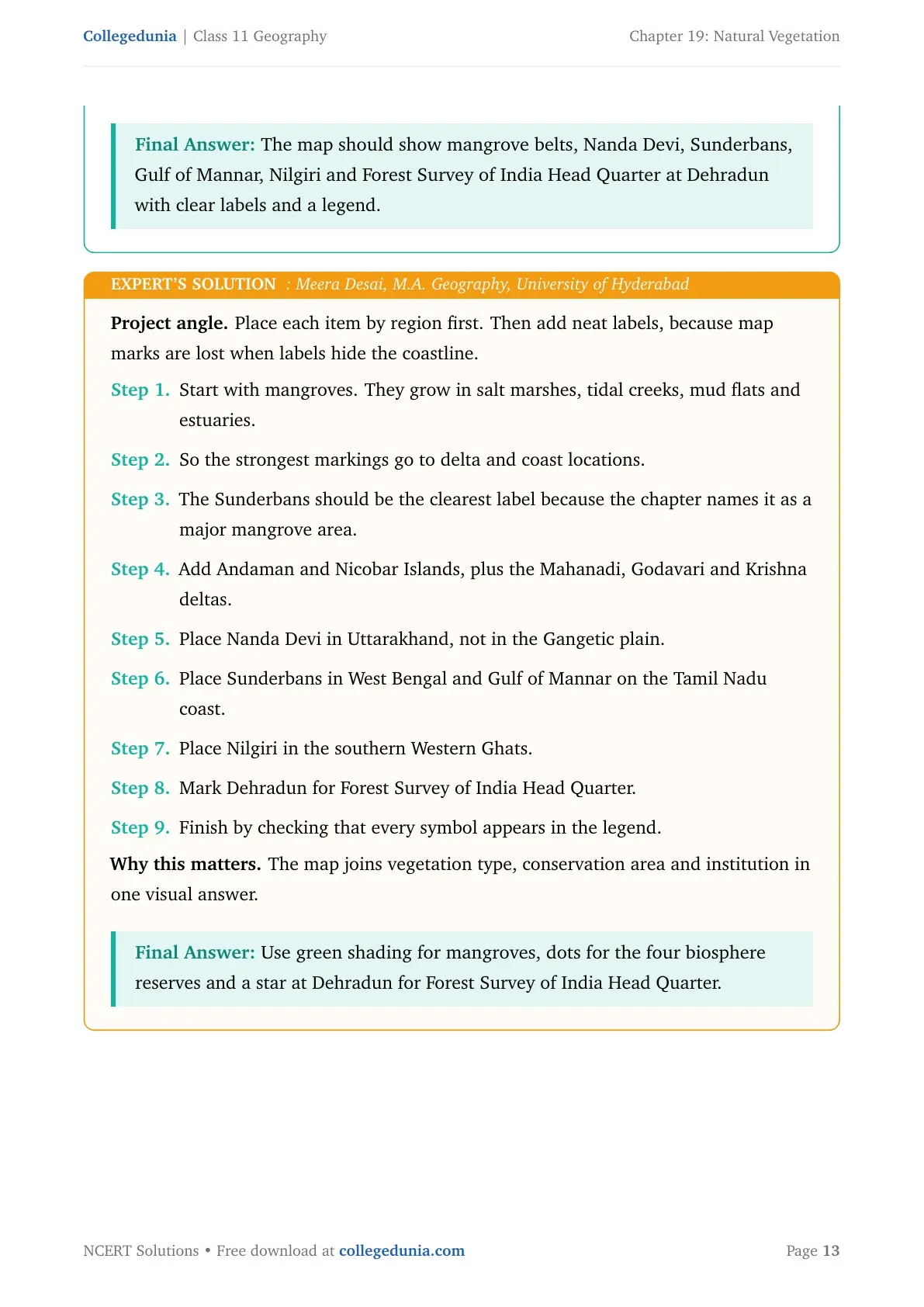
The map should show mangrove belts, Nanda Devi, Sunderbans, Gulf of Mannar, Nilgiri and Forest Survey of India Head Quarter at Dehradun with clear labels and a legend.
MD
Meera Desai
M.A. Geography, University of Hyderabad
Verified Expert
Project angle. Place each item by region first. Then add neat labels, because map marks are lost when labels hide the coastline.
Start with mangroves. They grow in salt marshes, tidal creeks, mud flats and estuaries.
So the strongest markings go to delta and coast locations.
The Sunderbans should be the clearest label because the chapter names it as a major mangrove area.
Add Andaman and Nicobar Islands, plus the Mahanadi, Godavari and Krishna deltas.
Place Nanda Devi in Uttarakhand, not in the Gangetic plain.
Place Sunderbans in West Bengal and Gulf of Mannar on the Tamil Nadu coast.
Place Nilgiri in the southern Western Ghats.
Mark Dehradun for Forest Survey of India Head Quarter.
Finish by checking that every symbol appears in the legend.
Why this matters. The map joins vegetation type, conservation area and institution in one visual answer.
Use green shading for mangroves, dots for the four biosphere reserves and a star at Dehradun for Forest Survey of India Head Quarter.
Q 19.5
Project/Activity
2. List the trees, bush and shrub species found around your school. Write their local names and their uses.
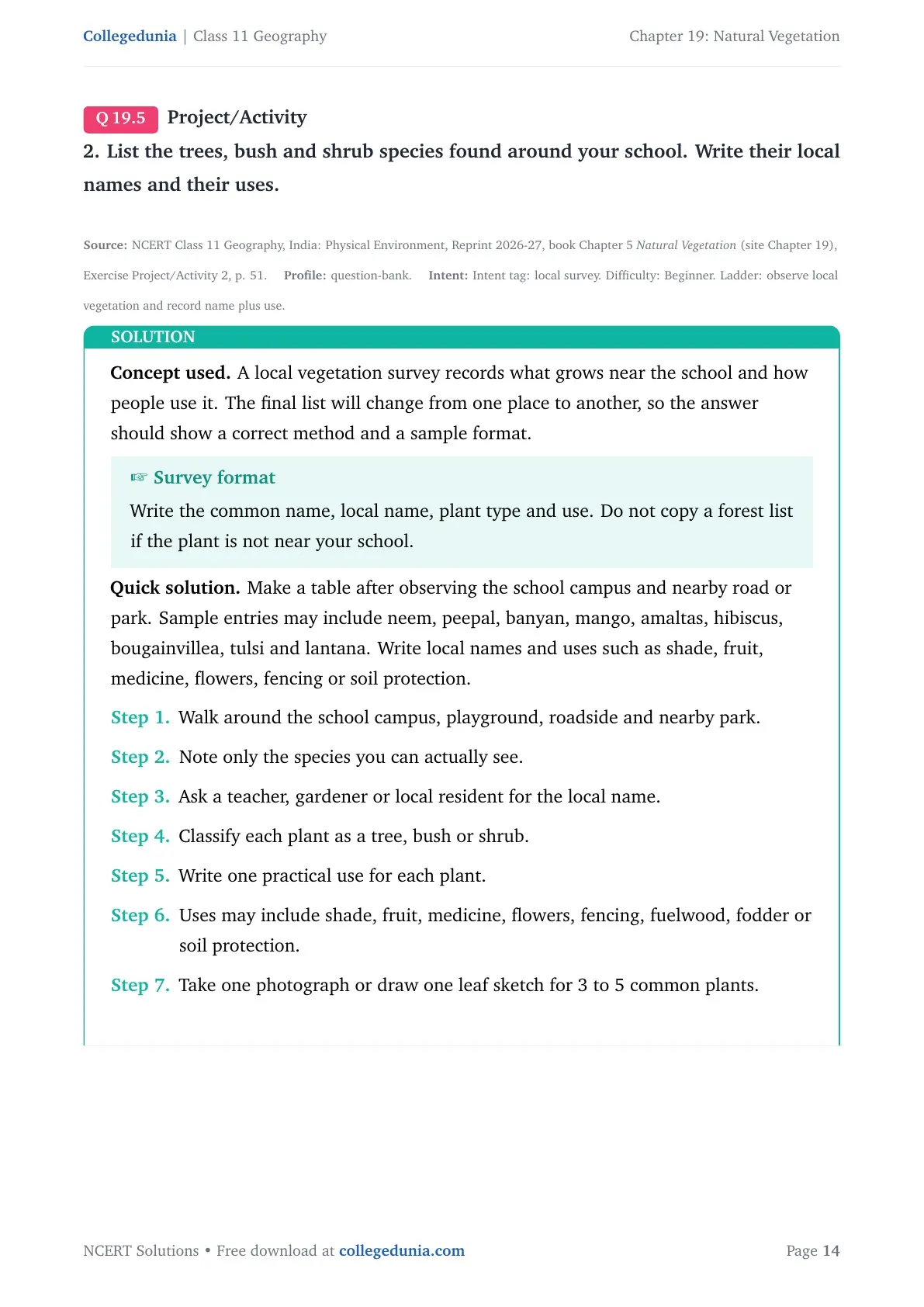
Concept used. A local vegetation survey records what grows near the school and how people use it. The final list will change from one place to another, so the answer should show a correct method and a sample format.
Survey format
Write the common name, local name, plant type and use. Do not copy a forest list if the plant is not near your school.
Make a table after observing the school campus and nearby road or park. Sample entries may include neem, peepal, banyan, mango, amaltas, hibiscus, bougainvillea, tulsi and lantana. Write local names and uses such as shade, fruit, medicine, flowers, fencing or soil protection.
Walk around the school campus, playground, roadside and nearby park.
Note only the species you can actually see.
Ask a teacher, gardener or local resident for the local name.
Classify each plant as a tree, bush or shrub.
Write one practical use for each plant.
Uses may include shade, fruit, medicine, flowers, fencing, fuelwood, fodder or soil protection.
Take one photograph or draw one leaf sketch for 3 to 5 common plants.
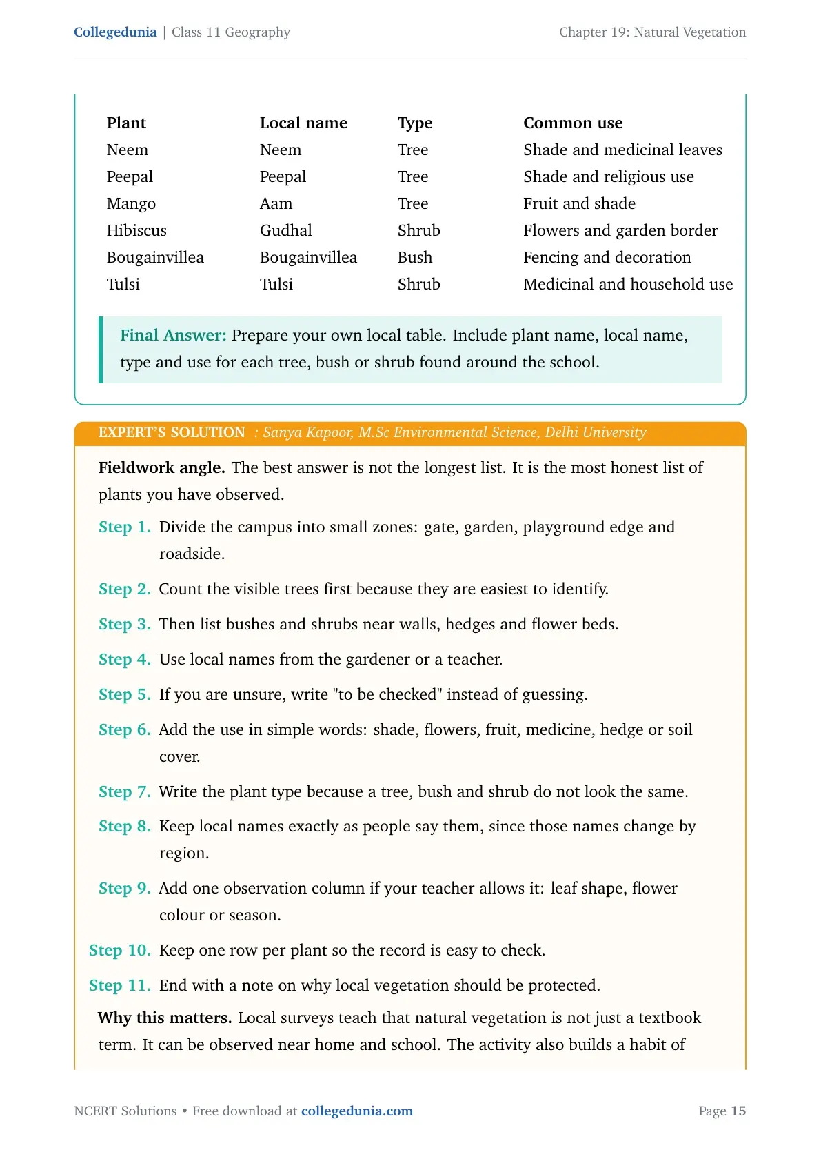
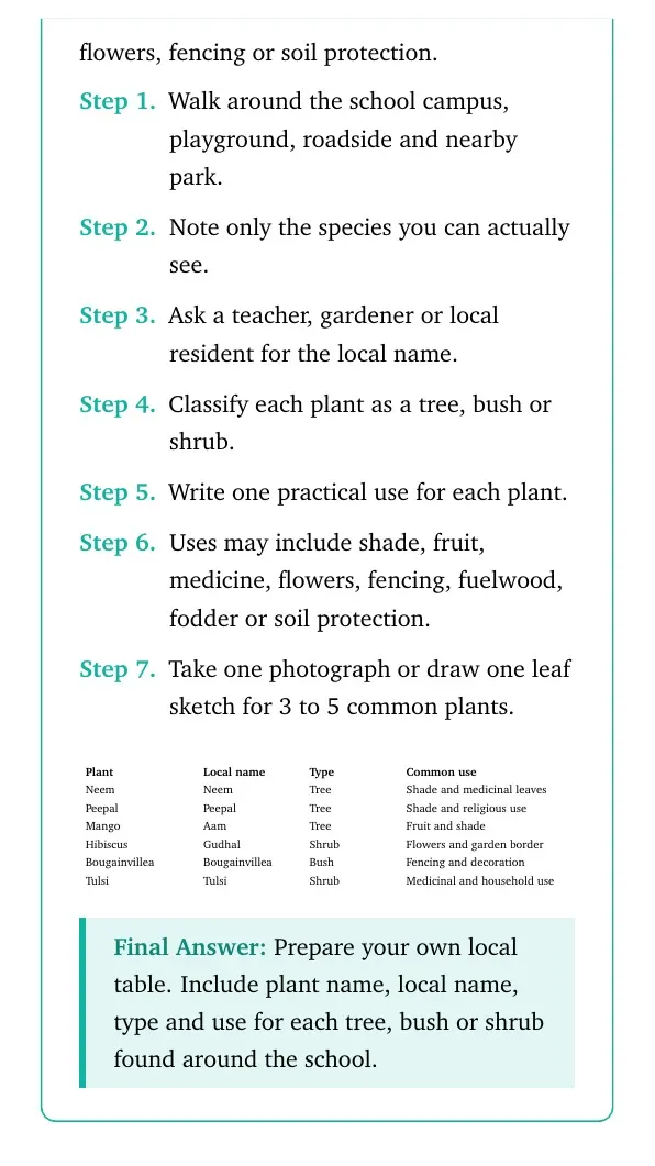
Plant
Local name
Type
Common use
Neem
Neem
Tree
Shade and medicinal leaves
Peepal
Peepal
Tree
Shade and religious use
Mango
Aam
Tree
Fruit and shade
Hibiscus
Gudhal
Shrub
Flowers and garden border
Bougainvillea
Bougainvillea
Bush
Fencing and decoration
Tulsi
Tulsi
Shrub
Medicinal and household use
Prepare your own local table. Include plant name, local name, type and use for each tree, bush or shrub found around the school.
SK
Sanya Kapoor
M.Sc Environmental Science, Delhi University
Verified Expert
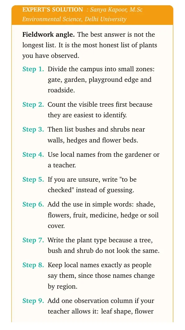
Fieldwork angle. The best answer is not the longest list. It is the most honest list of plants you have observed.
Divide the campus into small zones: gate, garden, playground edge and roadside.
Count the visible trees first because they are easiest to identify.
Then list bushes and shrubs near walls, hedges and flower beds.
Use local names from the gardener or a teacher.
If you are unsure, write "to be checked" instead of guessing.
Add the use in simple words: shade, flowers, fruit, medicine, hedge or soil cover.
Write the plant type because a tree, bush and shrub do not look the same.
Keep local names exactly as people say them, since those names change by region.
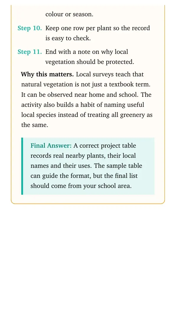
Add one observation column if your teacher allows it: leaf shape, flower colour or season.
Keep one row per plant so the record is easy to check.
End with a note on why local vegetation should be protected.
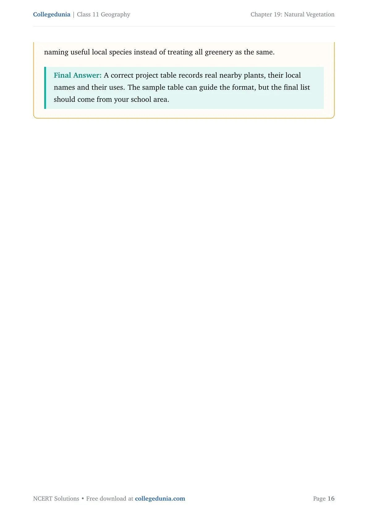
Why this matters. Local surveys teach that natural vegetation is not just a textbook term. It can be observed near home and school. The activity also builds a habit of naming useful local species instead of treating all greenery as the same.
A correct project table records real nearby plants, their local names and their uses. The sample table can guide the format, but the final list should come from your school area.
Natural Vegetation Class 11 NCERT Solutions FAQs
Ques. How many questions are solved in Class 11 Geography Chapter 19 Natural Vegetation?
Ans. The PDF solves all 5 exercise and project groups from the 2026-27 NCERT Class 11 Geography Chapter 19 Natural Vegetation textbook.
Ques. What is the MCQ answer key for Class 11 Geography Chapter 19 Natural Vegetation?
Ans. The MCQ answer key used in the solutions PDF is (b), (c), (c), (c) and (a) for the five parts of Question 1.
Ques. What is the difference between forest area and forest cover?
Ans. Forest area means land recorded as forest by the government, while forest cover means actual tree-canopy area visible on the ground or through survey.
Ques. Are these Natural Vegetation solutions useful for the 2026-27 school exam?
Ans. Yes. The answers follow the latest 2026-27 NCERT exercise and explain forest types, social forestry, biosphere reserves, wildlife conservation and map work in Class 11 exam language.








Comments