




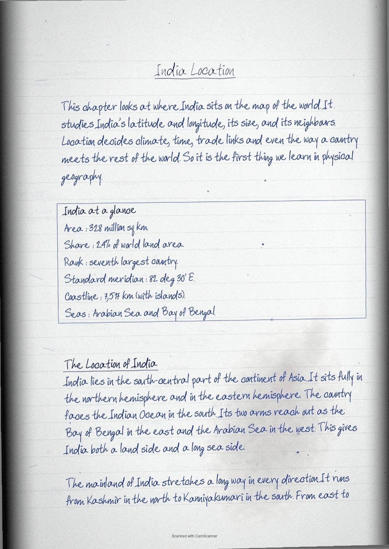
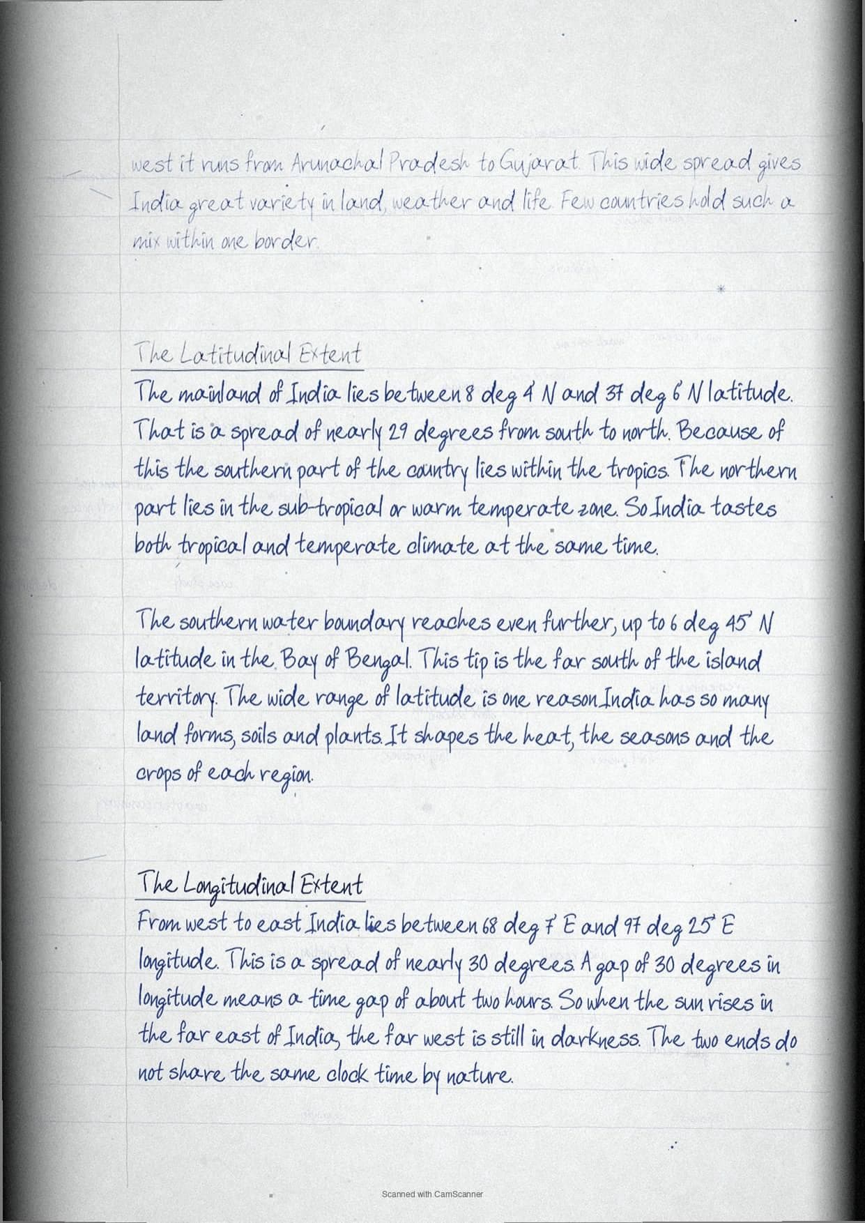
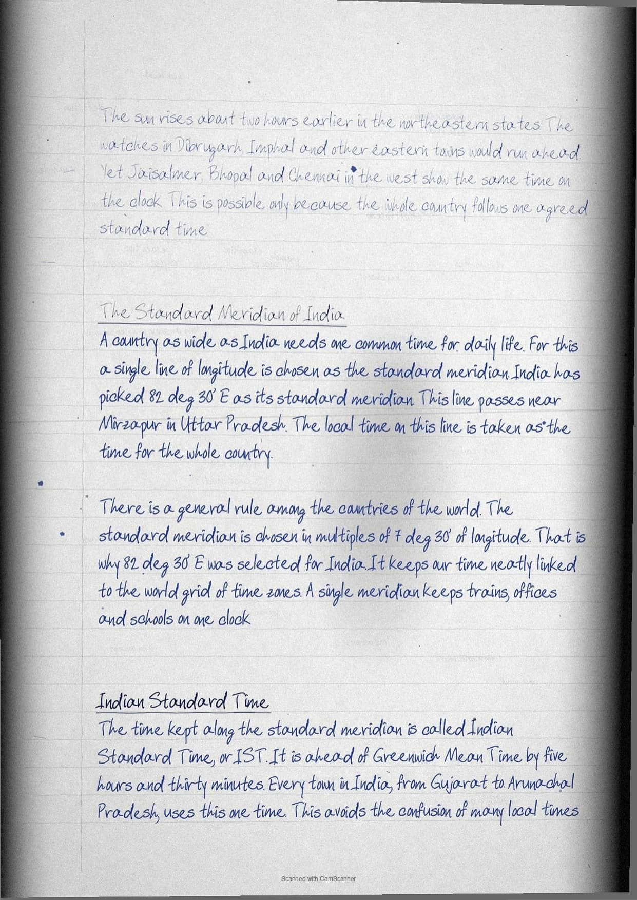
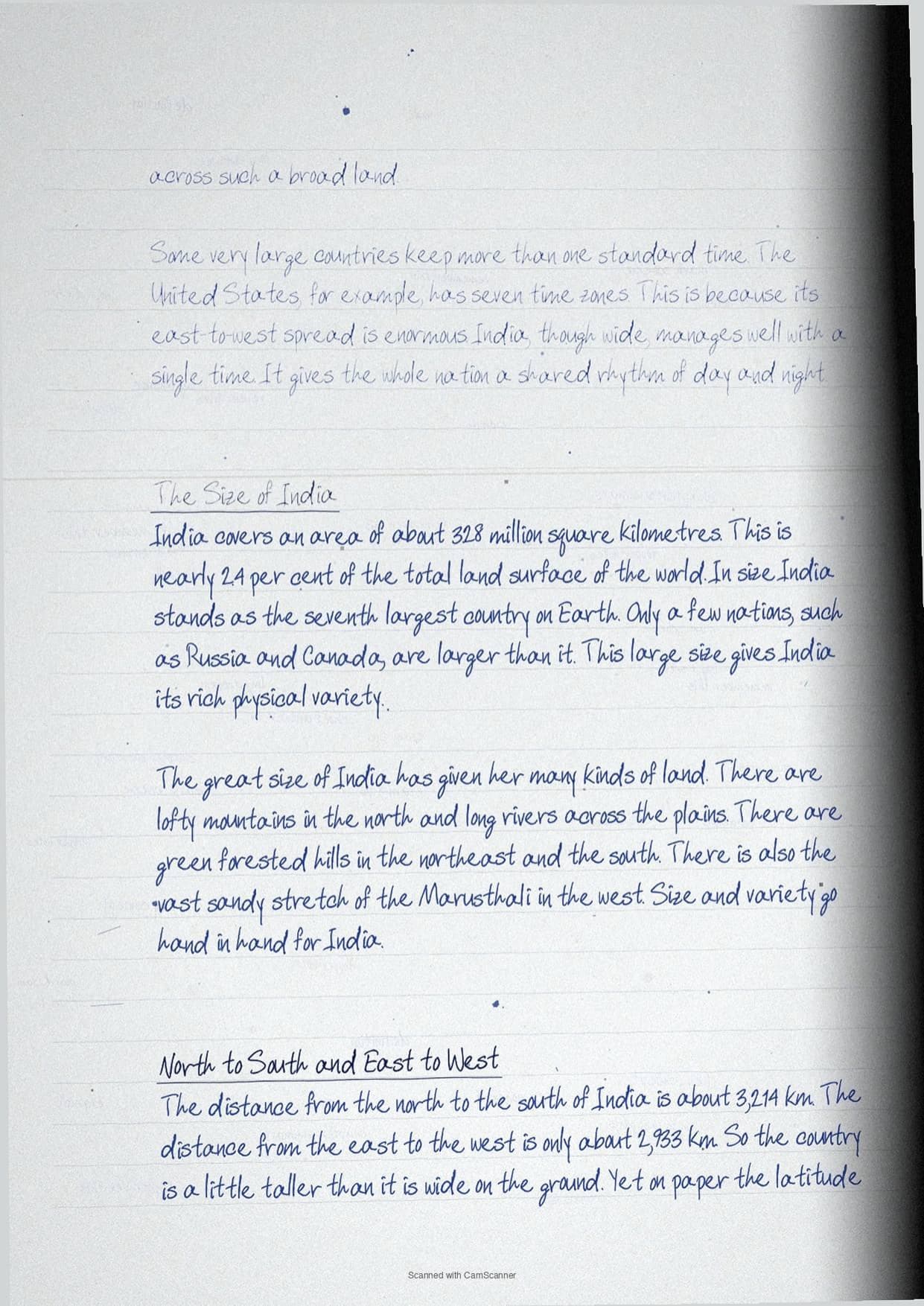
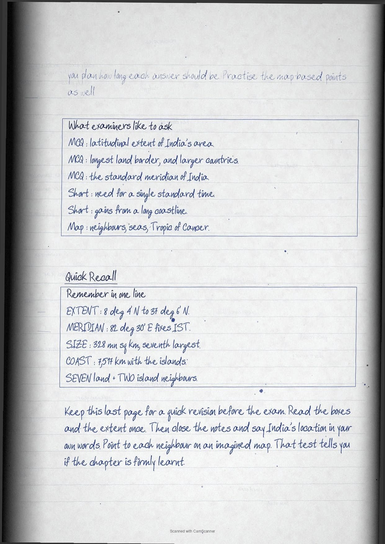
Questions from Class 11 Geography Chapter 15 India Location come up often in the CBSE Class 11 exam. These class 11 geography handwritten notes chapter 15 India Location follow the 2026-27 NCERT and cover latitudinal extent 8 deg 4' n to 37 deg 6' n, longitudinal extent and the two-hour time gap, standard meridian 82 deg 30' e.
- CBSE Class 11 Weightage: a scoring chapter in the Geography paper, asked in short and long answers.
- What the notes cover: latitudinal extent 8 deg 4' n to 37 deg 6' n, longitudinal extent and the two-hour time gap, standard meridian 82 deg 30' e and ist, size: 3.28 million sq km, seventh largest.
- Best for: quick revision before Class 11 exams and a base for CUET later.
You can read the complete class 11 geography handwritten notes for India Location, with key terms, boxed definitions, and quick revision points, in the PDF below.
These handwritten notes are written by subject teachers, mapped to the 2026-27 NCERT, and checked against the last five years of CBSE Class 11 Geography papers.
What the India Location Handwritten Notes Cover
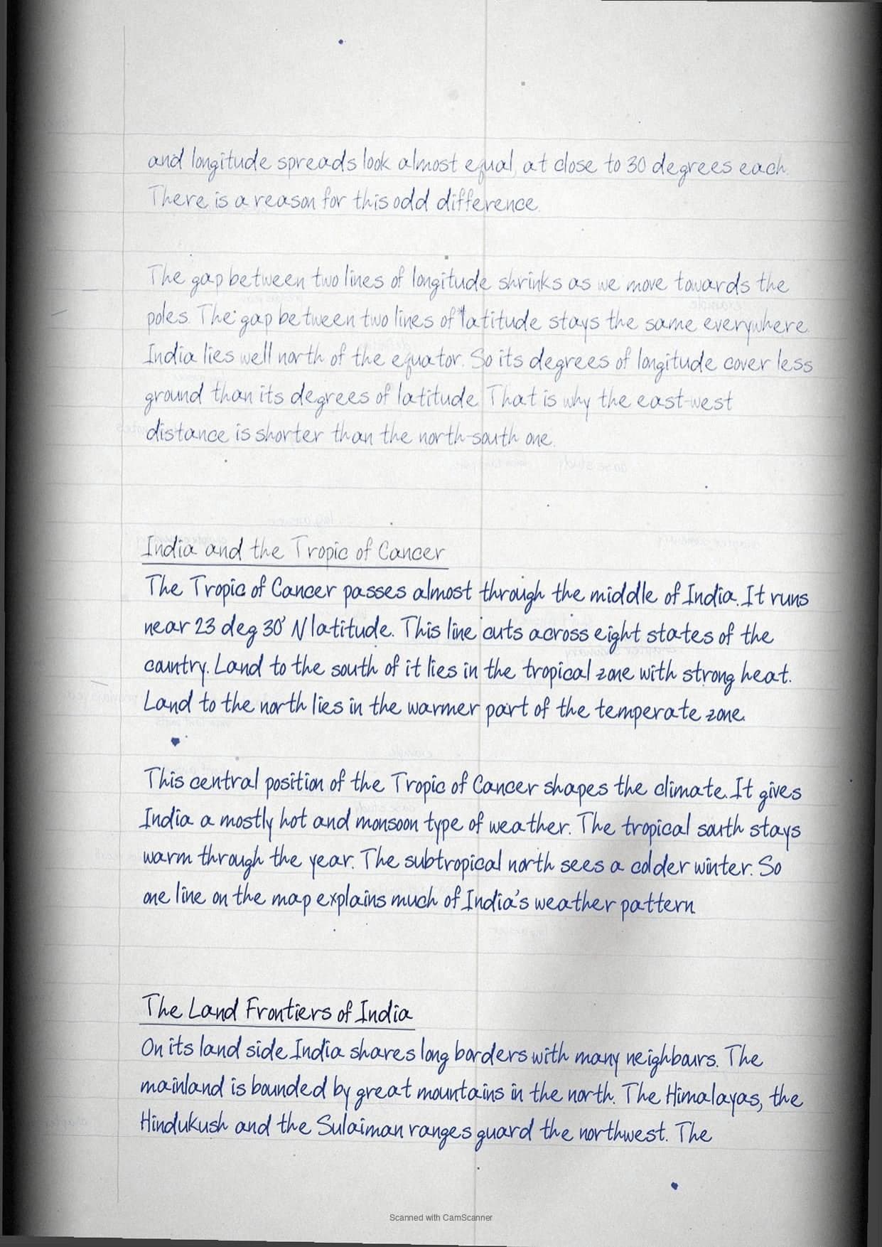
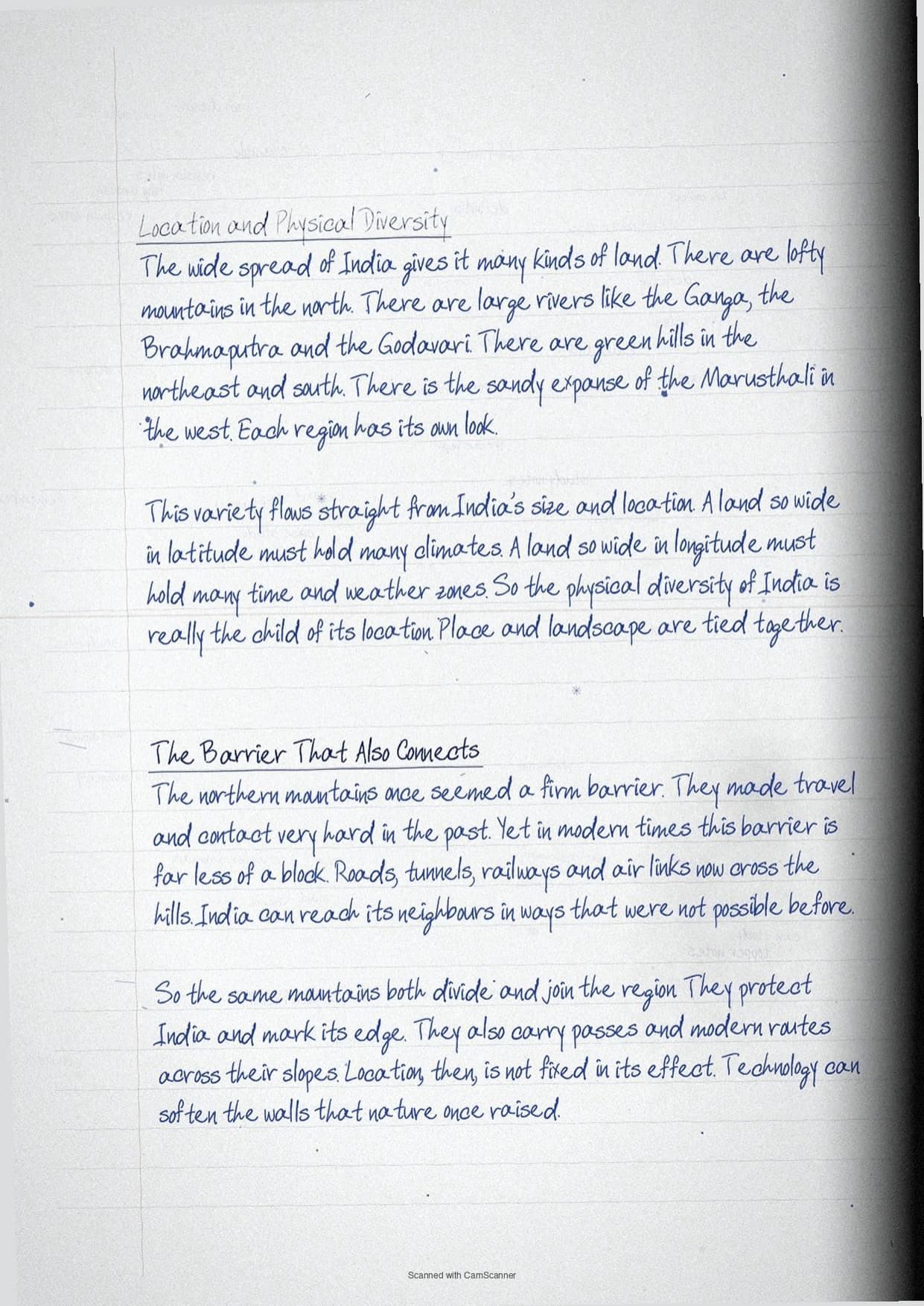
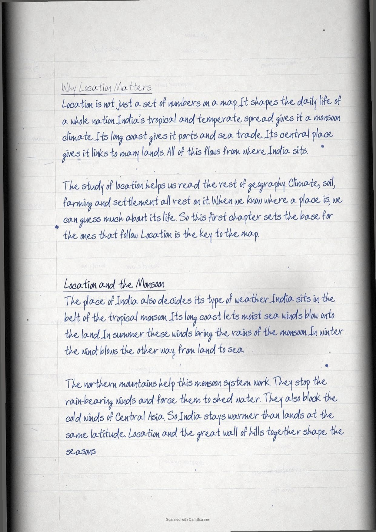
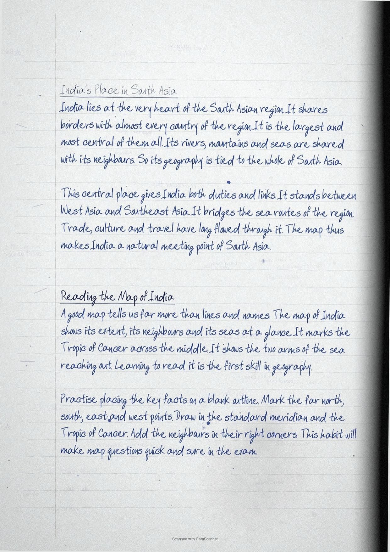
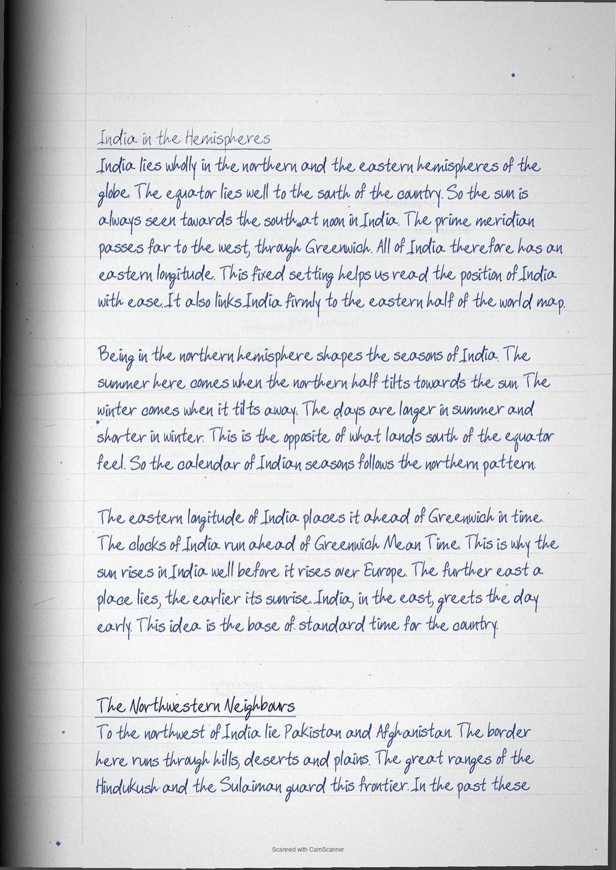
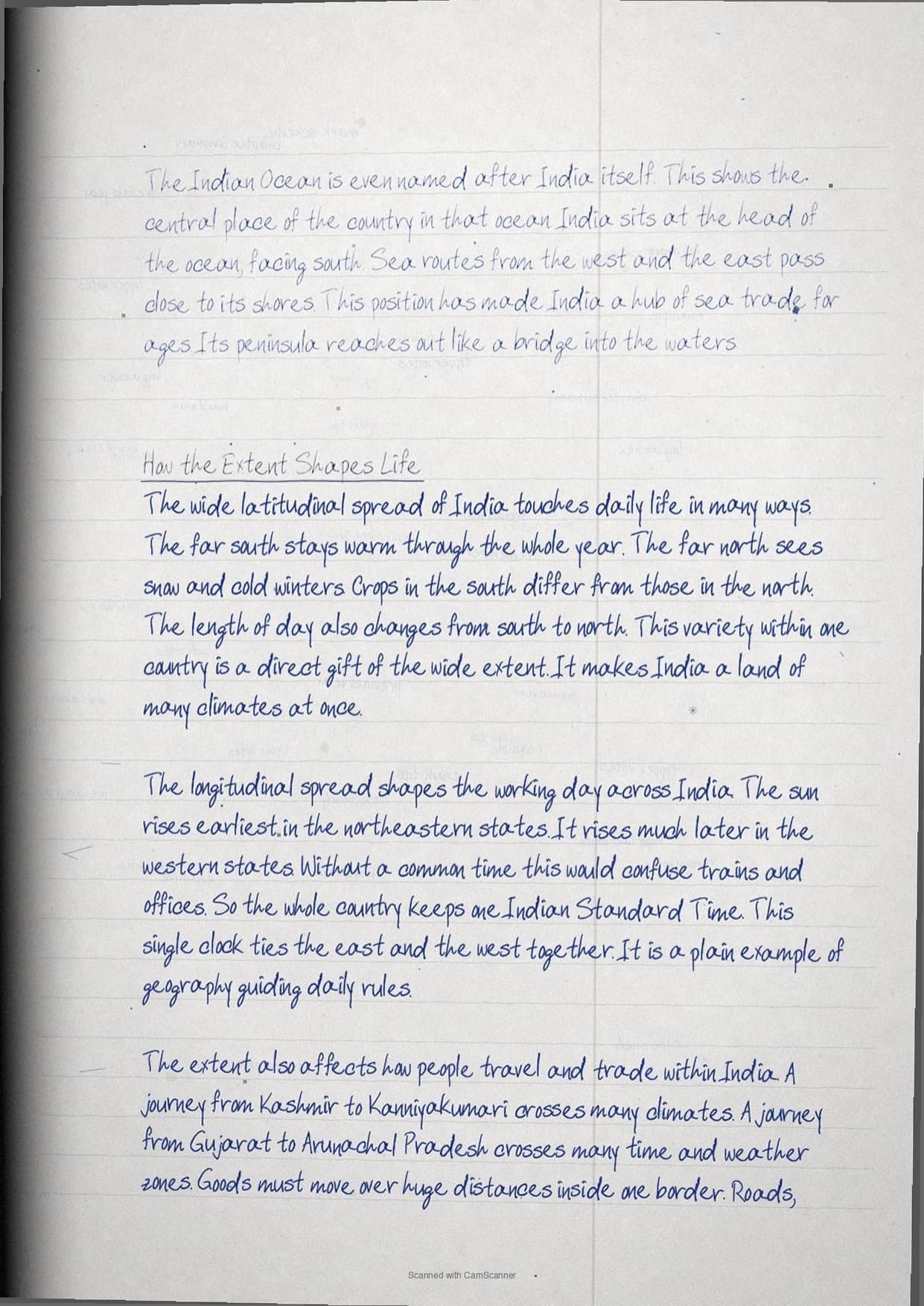
India sits in the south-central part of Asia, spread wide in both latitude and longitude. This chapter fixes its exact position, size and neighbours. Location decides climate, time and trade for the whole nation.
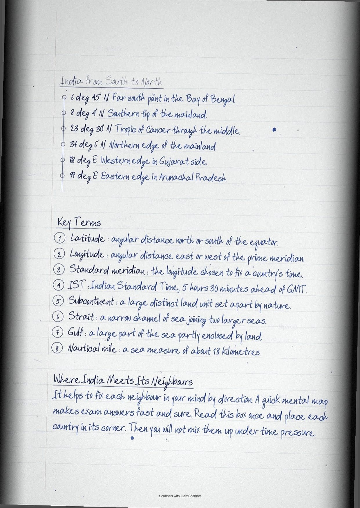
- Latitudinal extent 8 deg 4' N to 37 deg 6' N
- Longitudinal extent and the two-hour time gap
- Standard meridian 82 deg 30' E and IST
- Size: 3.28 million sq km, seventh largest
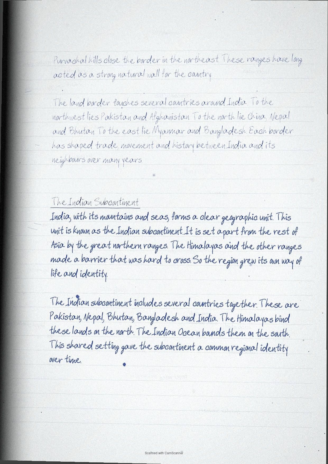
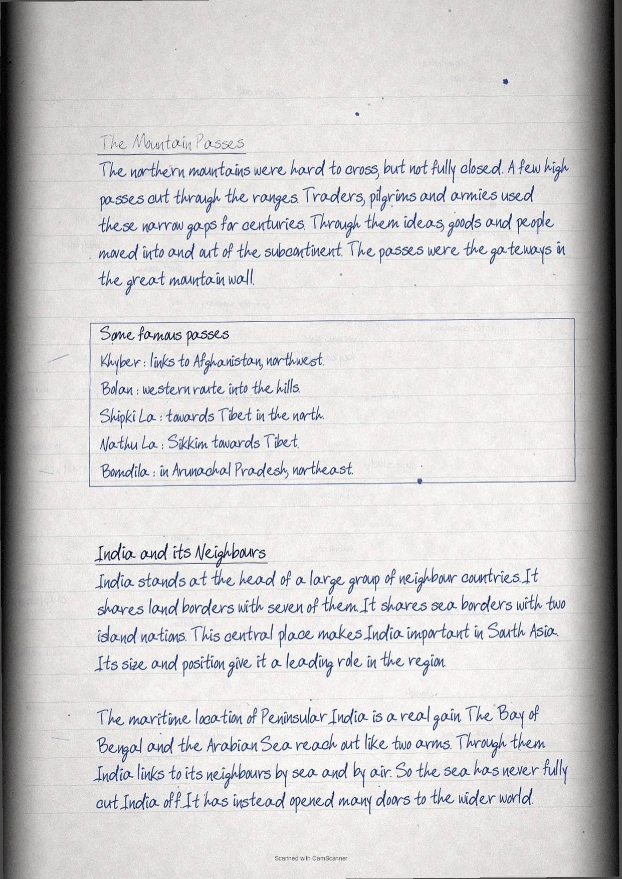
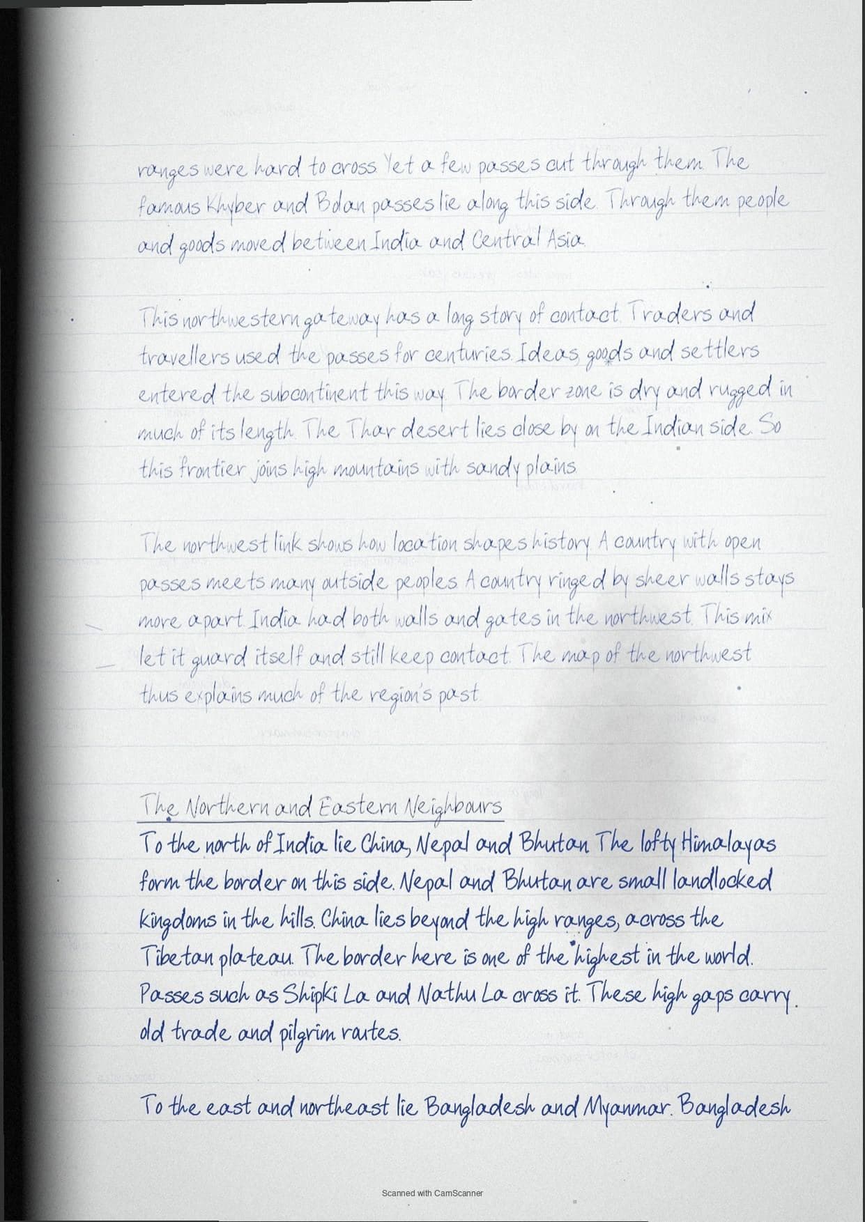
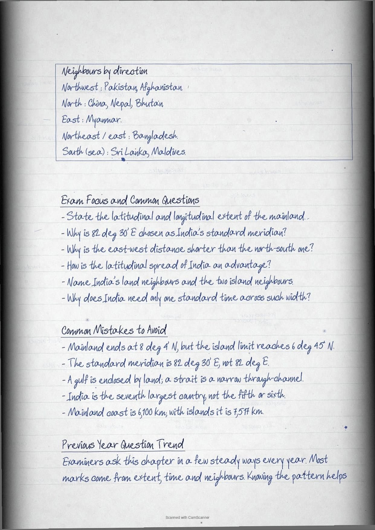
- Land and island neighbours of India
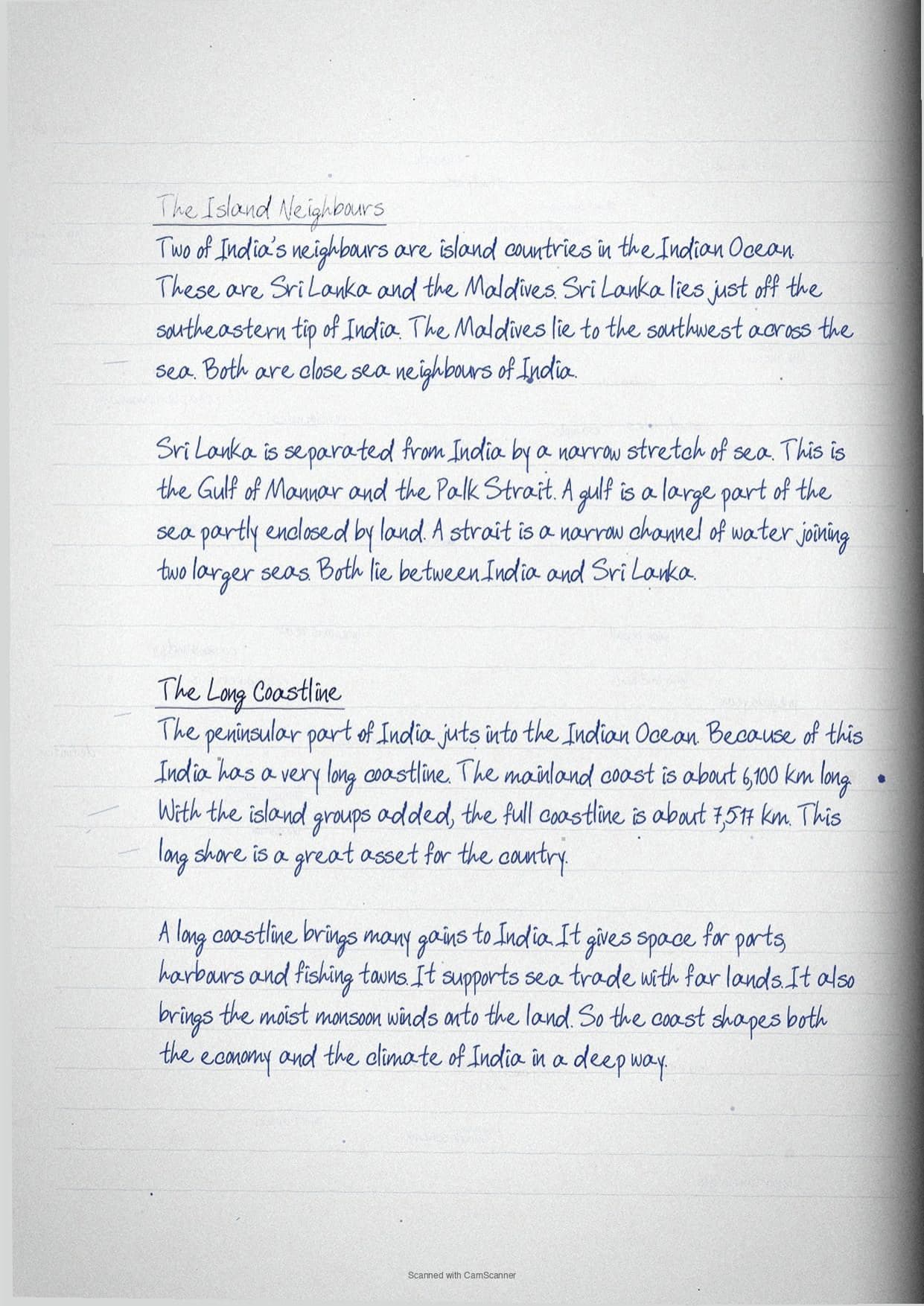
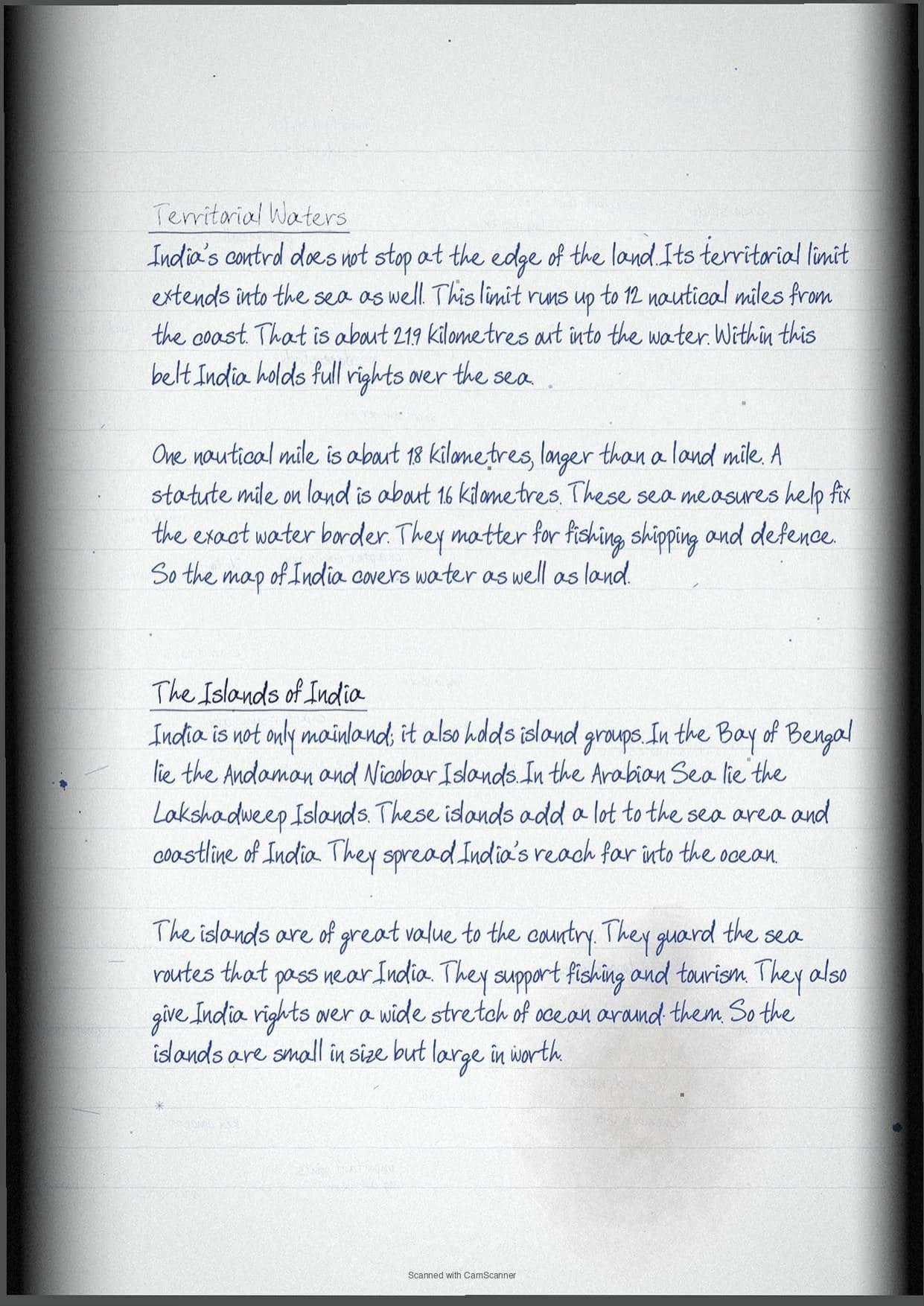
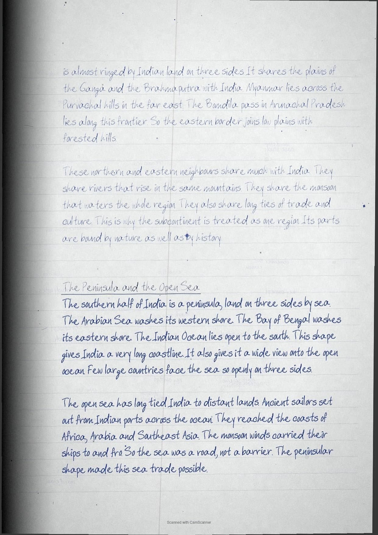
- Long coastline and territorial waters
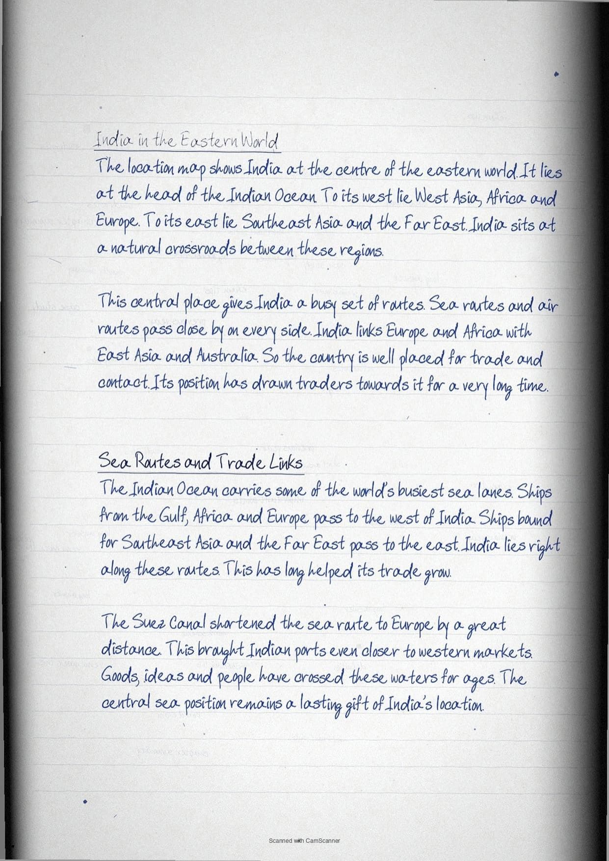
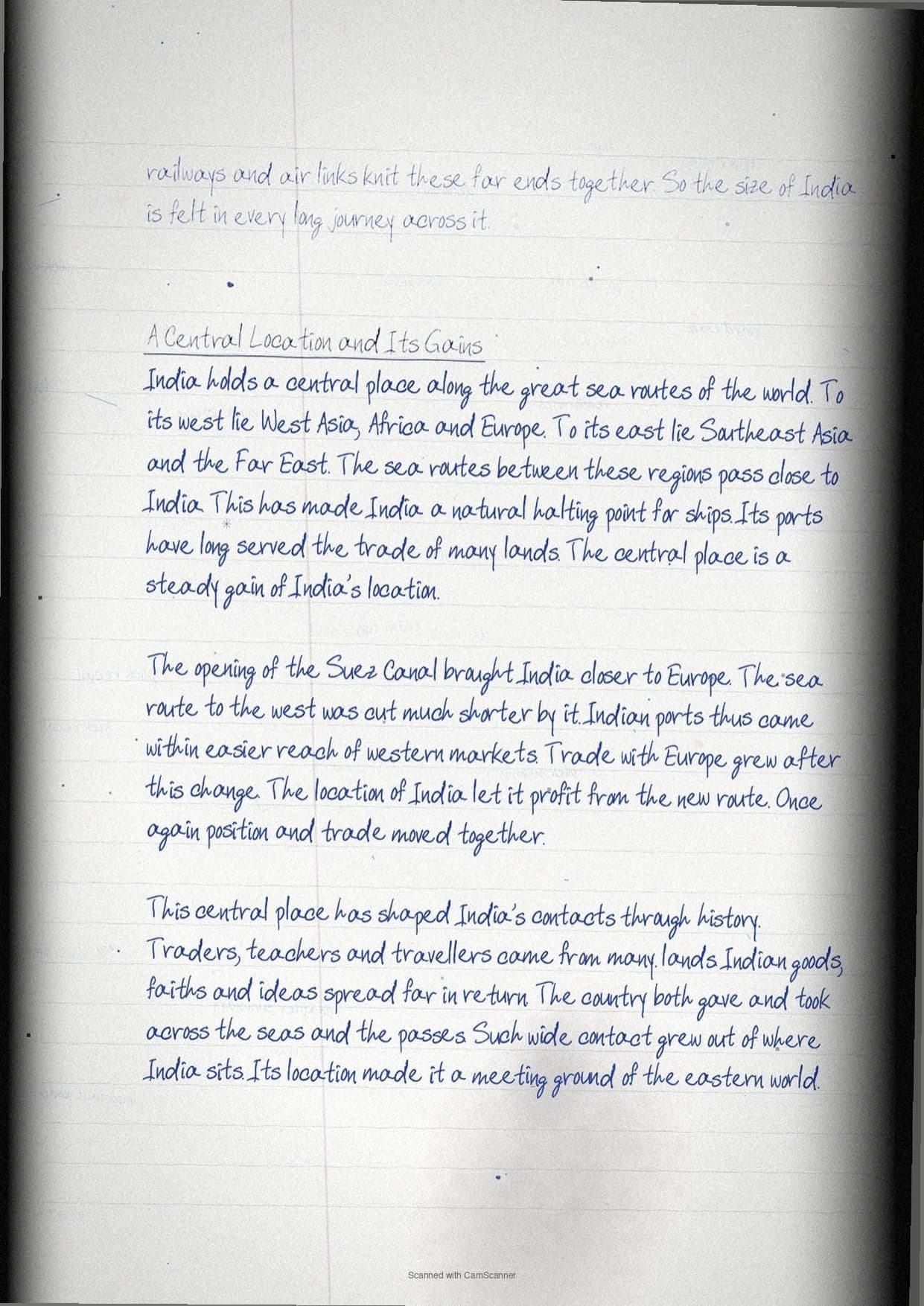
- India at the centre of the eastern world
India Location Topic-wise Weightage for CBSE Class 11 Geography
Some parts of this chapter are asked more often than others. The table below shows which sub-topics to revise first, based on recent CBSE Class 11 question trends.
| Sub-topic | Weightage | CBSE Frequency |
|---|---|---|
| Latitudinal and longitudinal extent | High | asked most years |
| Standard meridian and IST | High | frequent MCQ and short |
| Size and world rank | Medium | common MCQ |
| Neighbours and subcontinent | Medium | map and short |
| Coastline and island territories | Low | occasional short |
Key Terms and Ideas in India Location
These are the terms and ideas the exam asks about most. Learn each one so you can define it and use it in your answers.
| Term / Idea | What it means |
|---|---|
| Latitudinal extent | Mainland runs 8 deg 4' N to 37 deg 6' N. |
| Longitudinal extent | About 68 deg E to 97 deg E, a near 30 deg spread. |
| Standard meridian | 82 deg 30' E fixes one time for all India. |
| IST | Indian Standard Time is 5 hours 30 minutes ahead of GMT. |
| Size | 3.28 million sq km, 2.4% of world land, seventh largest. |
| Coastline | 6,100 km mainland and 7,517 km with the islands. |
| Neighbours | Seven land neighbours plus Sri Lanka and Maldives. |
| Territorial limit | Extends 12 nautical miles from the coast. |
How Collegedunia's Handwritten Notes Help You Revise India Location
These notes are made for the night before the exam. They keep the facts short and easy to scan. Collegedunia maps every point to the 2026-27 NCERT.
- Clear handwriting: each topic is written in neat, easy-to-read handwriting.
- Boxed key terms: the main terms and definitions are boxed by hand for fast recall.
- Diagrams and tables: simple hand-drawn tables and charts make ideas clear.
- Colour-coded headings: new sub-topics stand out, so you find any section in seconds.
India Location Self-Assessment Quiz
Try these quick questions after you read the notes. Tap each question to check your answer. They cover the points CBSE asks most often.
Which latitudinal extent is relevant for the extent of India's area?
(a) 8 deg 41' N - 35 deg 7' N (b) 8 deg 4' N - 37 deg 6' N (c) 8 deg 4' N - 35 deg 6' N (d) 6 deg 45' N - 37 deg 6' N
Answer: (b) correct - the mainland extends from 8 deg 4' N to 37 deg 6' N.
Which longitude is the standard meridian for India?
(a) 69 deg 30' E (b) 75 deg 30' E (c) 82 deg 30' E (d) 90 deg 30' E
Answer: (c) correct - 82 deg 30' E is chosen in a multiple of 7 deg 30'.
By how much is IST ahead of Greenwich Mean Time?
(a) 4 hours (b) 5 hours (c) 5 hours 30 minutes (d) 6 hours
Answer: (c) correct - IST is 5 hours and 30 minutes ahead of GMT.
What is India's rank by area in the world?
(a) fifth (b) sixth (c) seventh (d) eighth
Answer: (c) correct - India is the seventh largest country in the world.
Sri Lanka is separated from India by which water bodies?
(a) Ten Degree Channel (b) Gulf of Mannar and Palk Strait (c) Nine Degree Channel (d) Gulf of Khambhat
Answer: (b) correct - the Gulf of Mannar and the Palk Strait lie between them.
How to Use These Handwritten Notes for Class 11 Geography Revision
Use these class 11 geography handwritten notes in two passes. Read them slowly once for the full chapter. Then, near the exam, read only the boxes and key terms for a fast recall.
- Read the notes once with the NCERT chapter open beside you.
- Say each key term and idea in your own words.
- Practise one long-answer question from a past paper.
- On the last day, revise only the key terms and the boxes.
Class 11 Geography Handwritten Notes for All Chapters
The table below links the class 11 geography handwritten notes for every chapter. Use it to jump to any other chapter's notes.
India Location Class 11 Geography Handwritten Notes FAQs
Ques. Where can I download India Location Class 11 Geography Handwritten Notes PDF?
Ans. You can download the India Location Class 11 Geography Handwritten Notes PDF directly from this page. Both the Normal and HD versions are free.
Ques. Are these handwritten notes aligned with the 2026-27 NCERT?
Ans. Yes. These notes follow the current 2026-27 syllabus for Class 11 Geography. Why does India need a standard meridian at all?
Ques. How many pages is the Class 11 Geography India Location Handwritten Notes PDF?
Ans. The notes run about 20 pages. They cover the full chapter with key terms, hand-drawn boxes, and a short self-assessment quiz.
Ques. What is the main idea of the 11th standard Geography chapter India Location?
Ans. India spans nearly 30 degrees of longitude, so its far east and far west see the sun almost two hours apart. A single standard meridian at 82 deg 30' E gives the whole country one shared clock time called IST.
Ques. Are these India Location notes enough for the CBSE Class 11 exam?
Ans. Yes, for revision. The Collegedunia handwritten notes cover every key point and exam term. Read them with the NCERT chapter and practise past questions.



Comments