




These Class 12 Geography Chapter 8 International Trade handwritten notes are a topper's genuine handwritten pages for quick last-mile revision, in line with the 2026-27 CBSE syllabus. They cover all key ideas in the chapter: India's foreign trade volume and value, composition of exports and imports, direction of trade, major sea ports and their hinterlands, and air routes. Use the PDF in the 24 hours before the board paper.
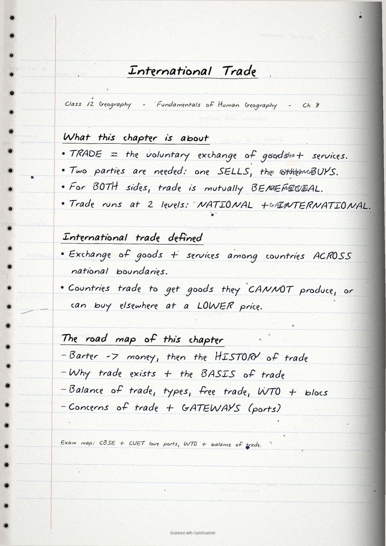
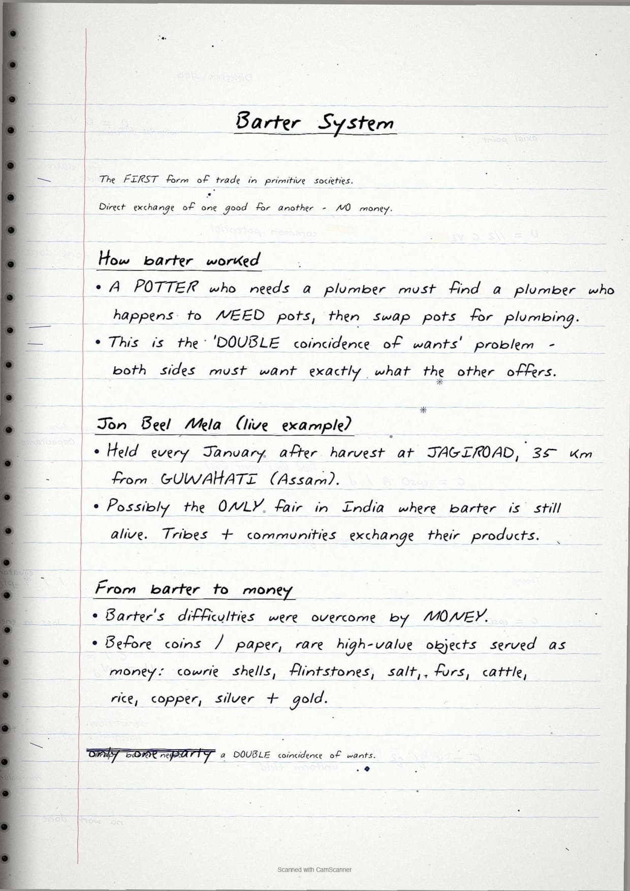
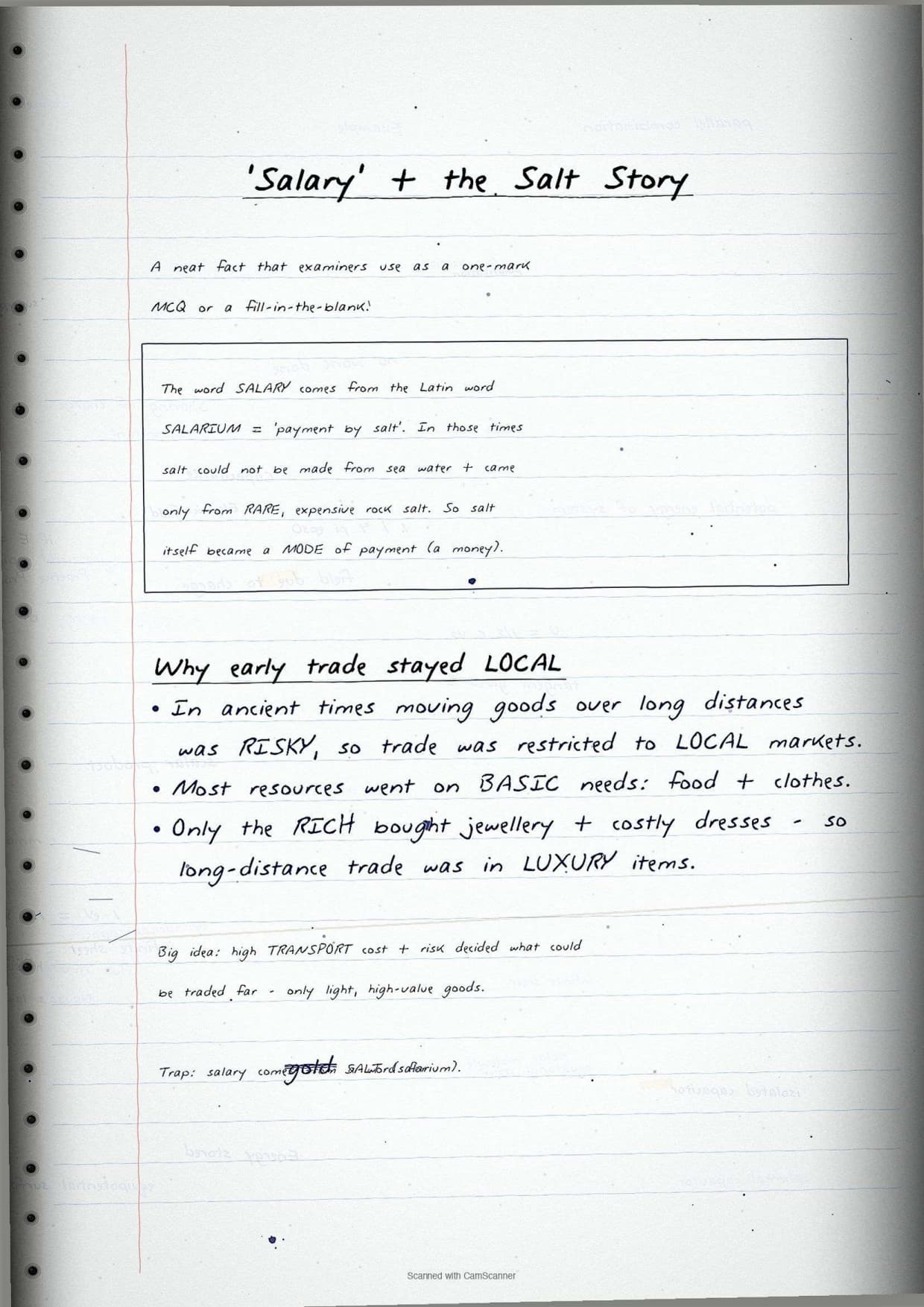
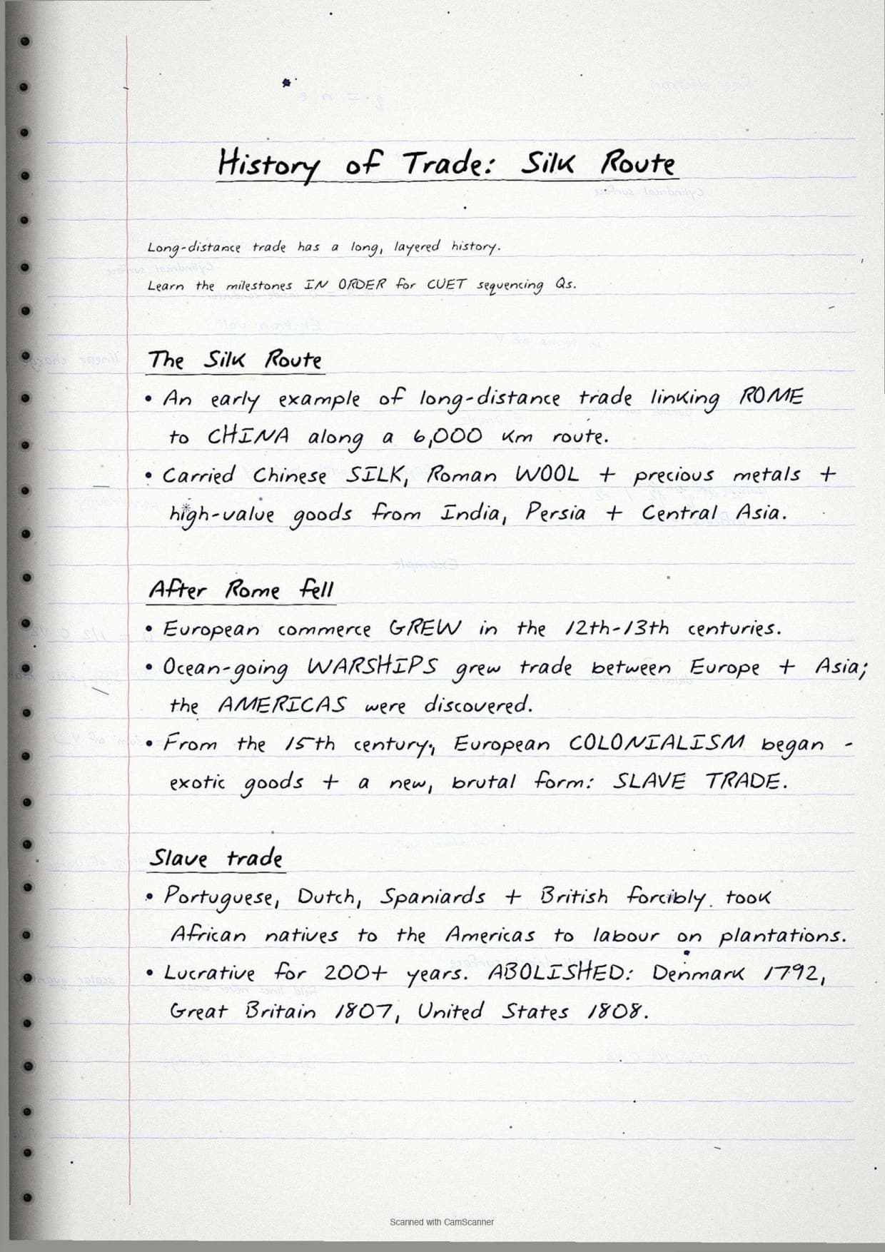
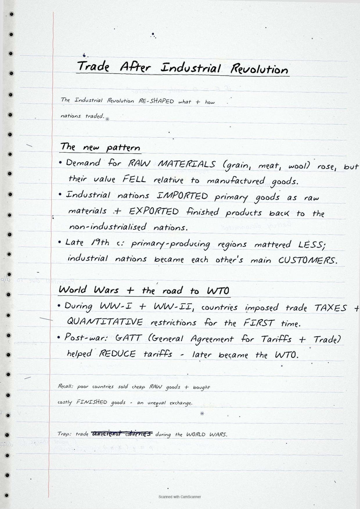
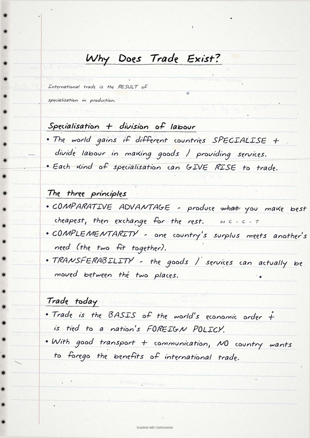
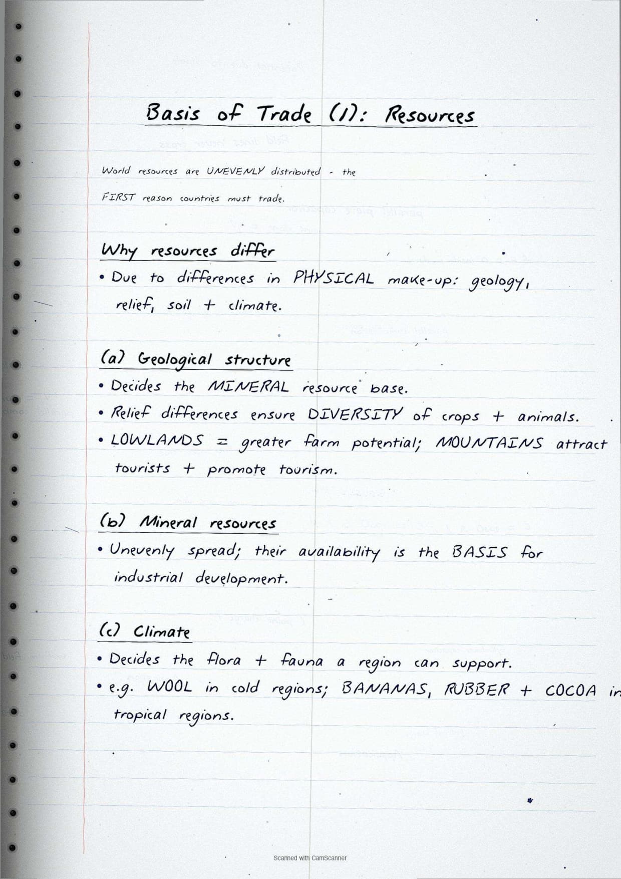
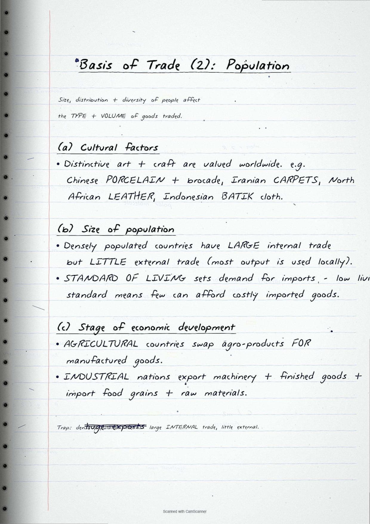
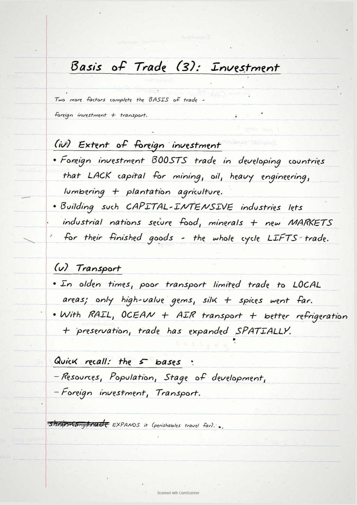
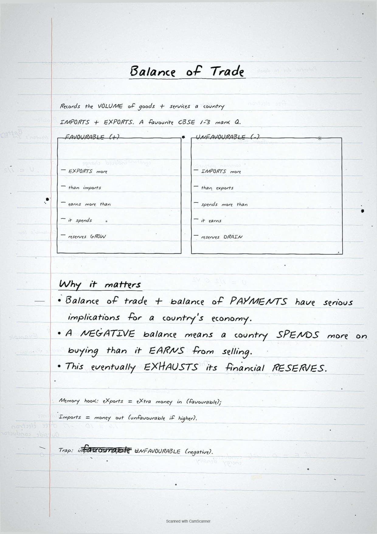
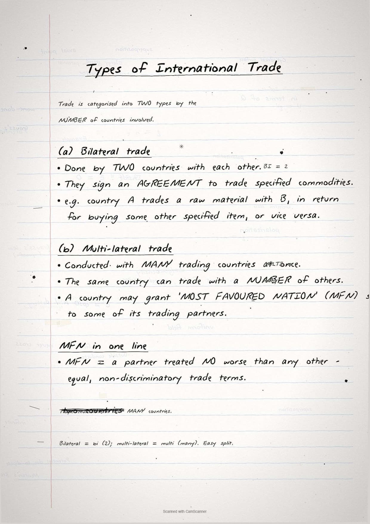
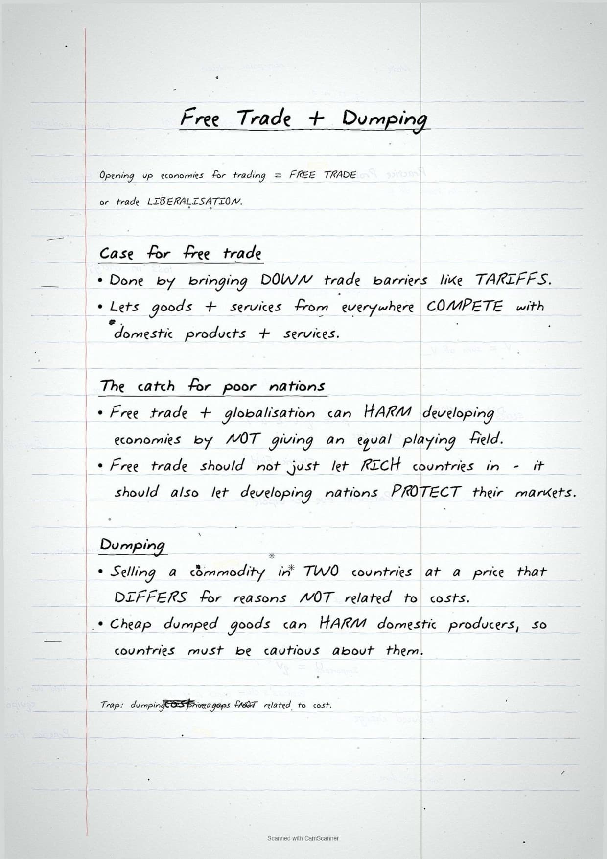
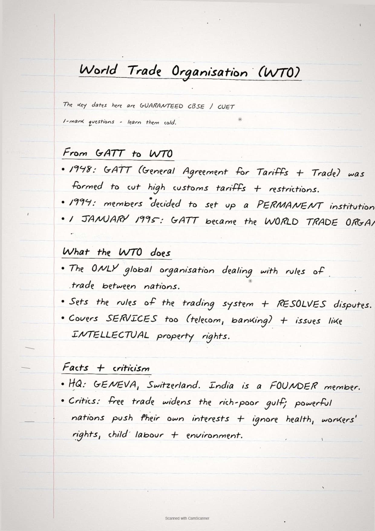
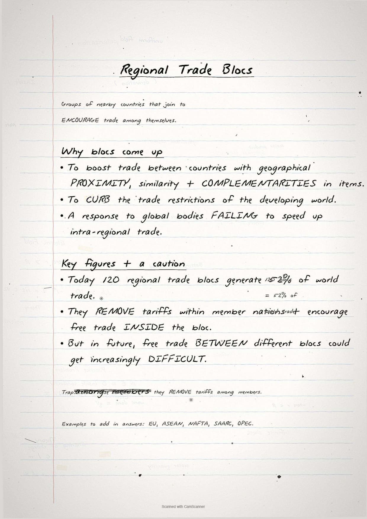
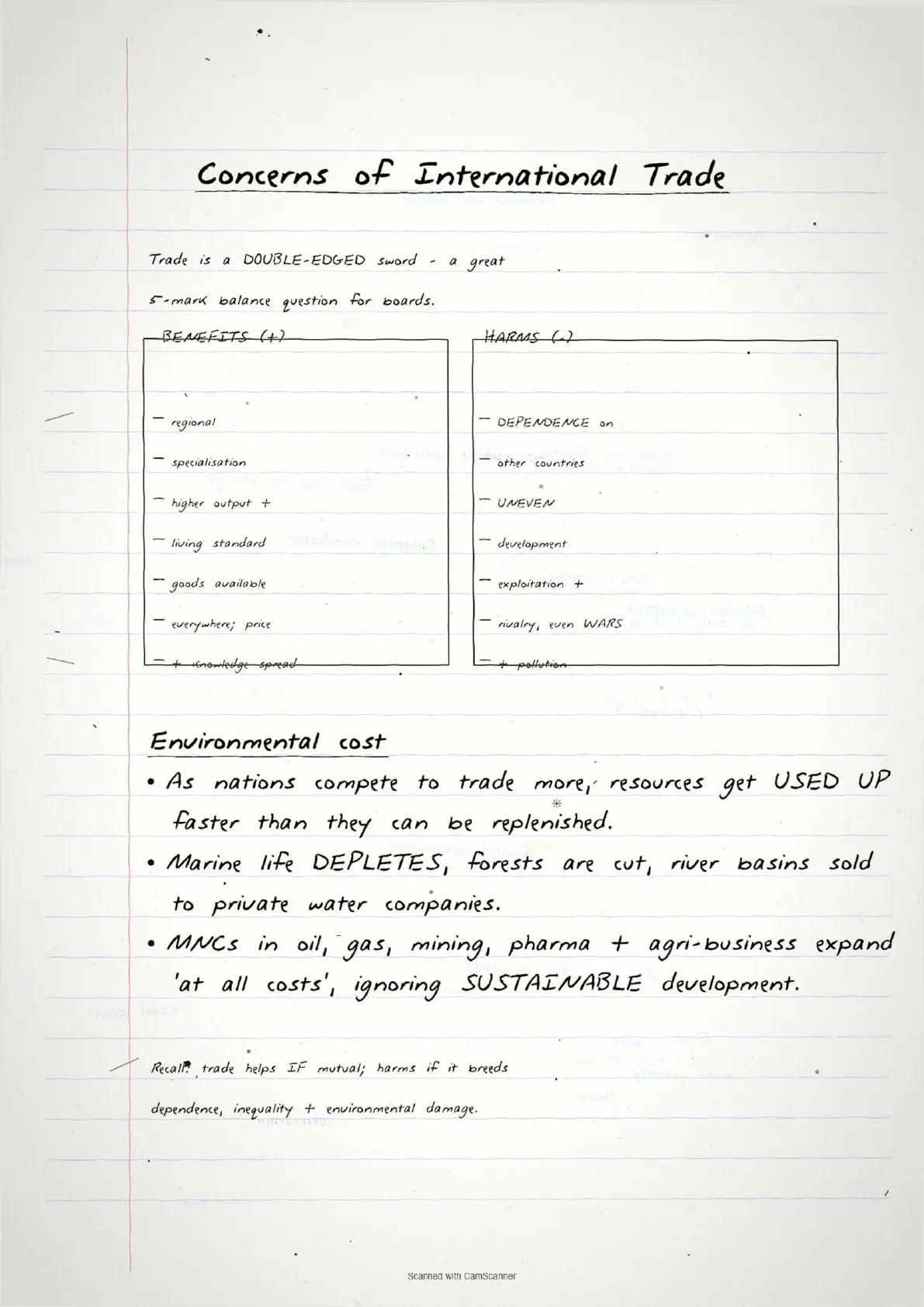
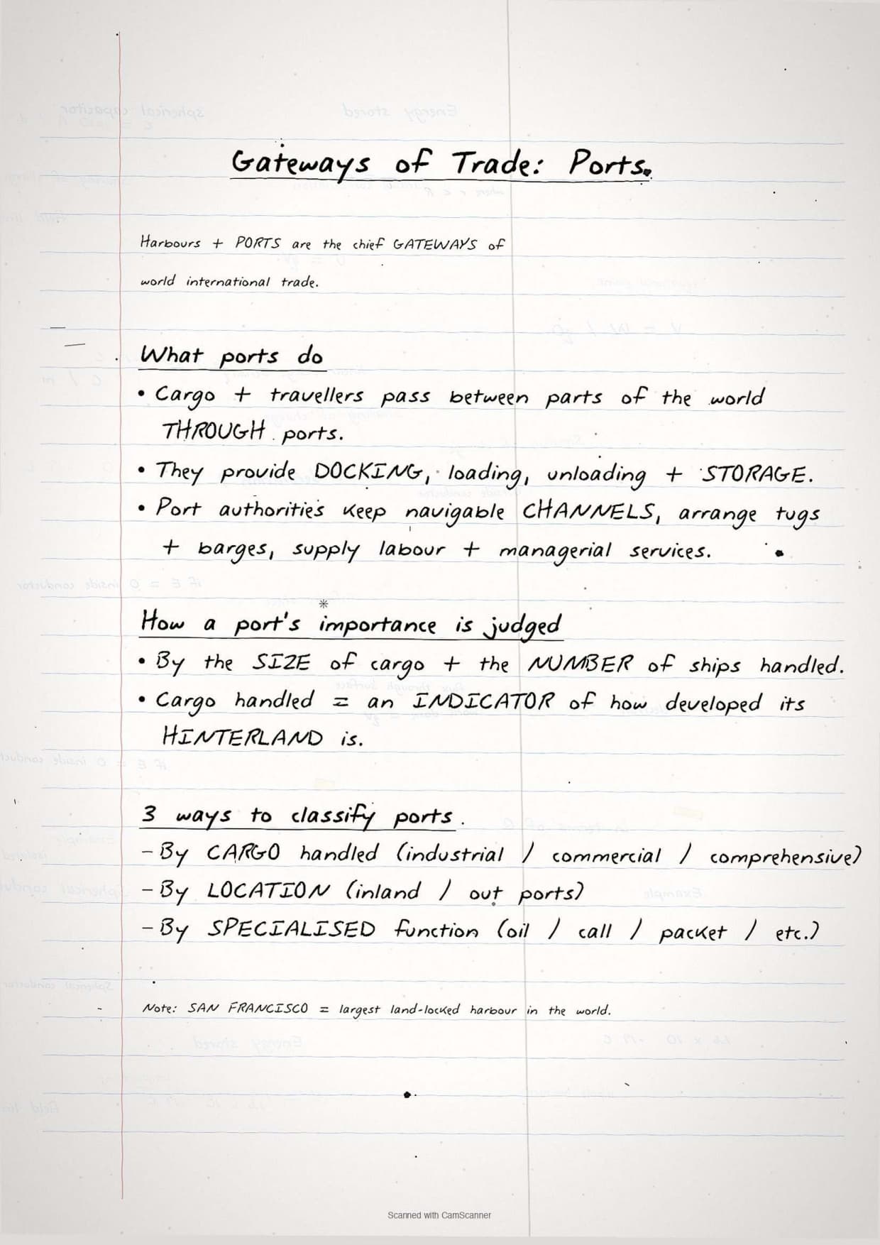
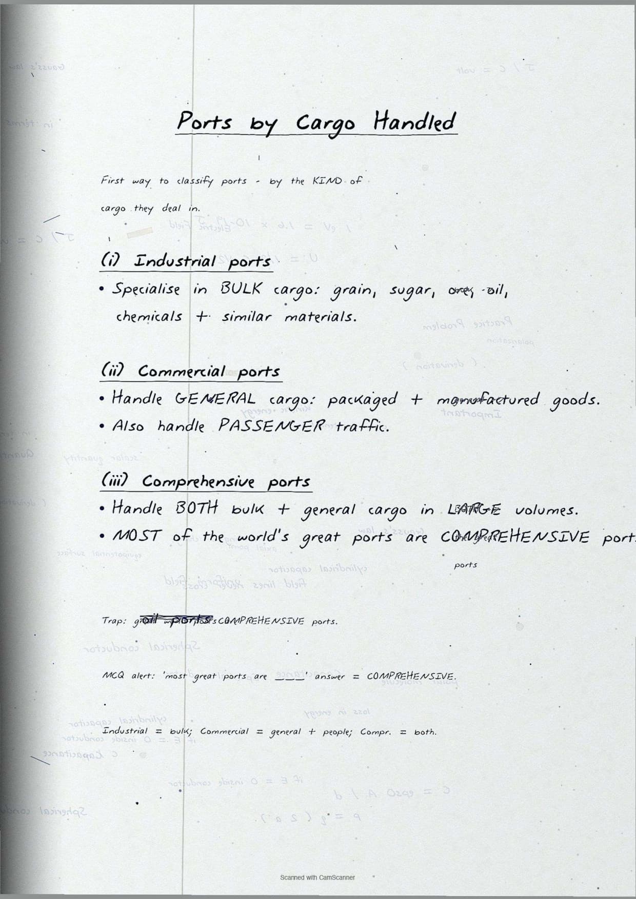
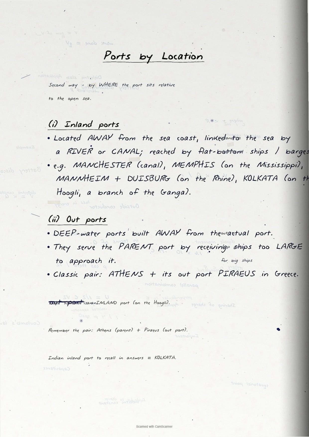
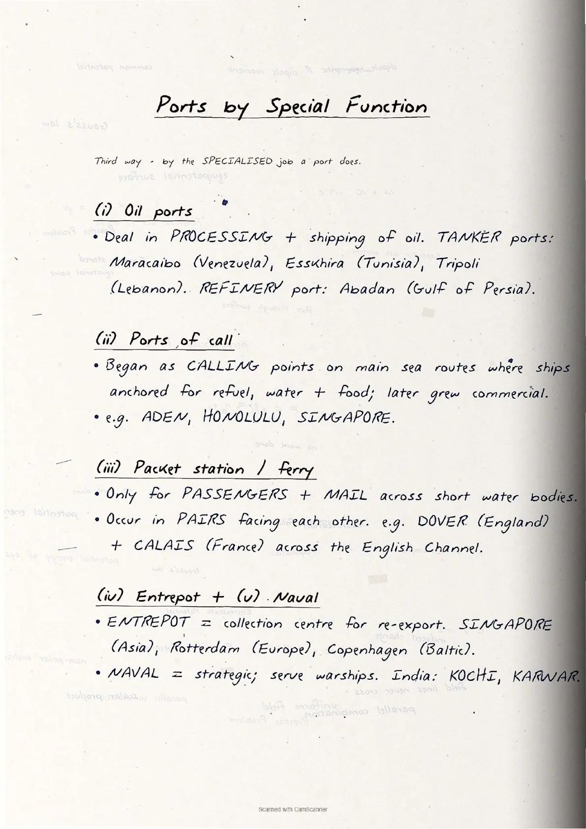
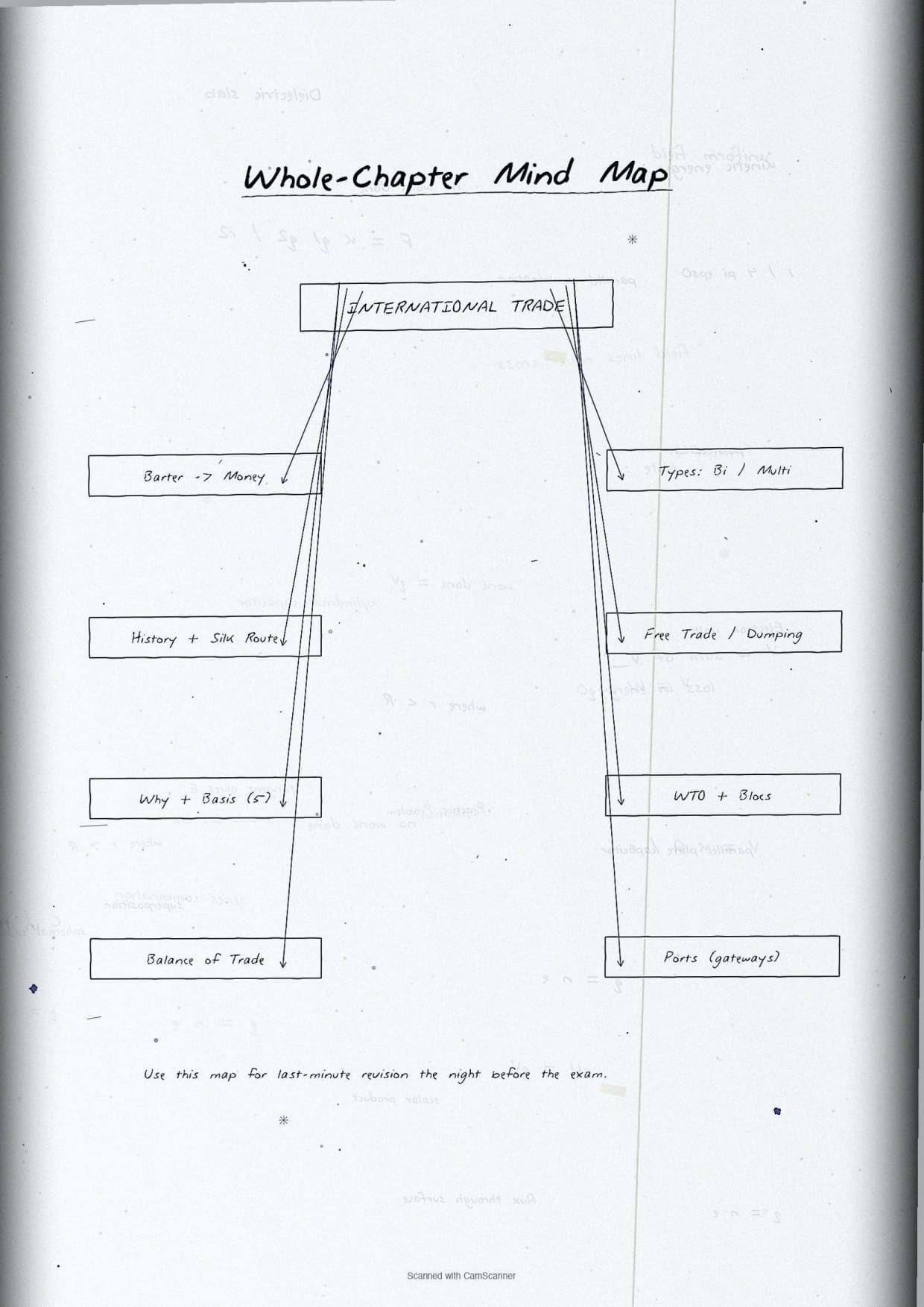
- Topper's handwritten revision notes covering all of CBSE Class 12 Geography India - People and Economy Chapter 8.
- 5-6 marks weightage in the Class 12 Geography board paper, with export and import composition tables, direction of trade data and major port hinterlands worked out by hand in comparison boxes.
- Pairs with the typed NCERT Solutions, typed Notes and the official NCERT Book PDF for the same chapter.
Every page maps to the 2026-27 NCERT India - People and Economy textbook and the last five years of CBSE board papers.
Student Feedback
69% of Class 12 students said handwritten notes feel faster to revise than typed PDFs before the board exam, and most finished one full pass in about 21 minutes.
Source: 2026-27 Class 12 Geography handwritten-notes feedback poll, 10,240 CBSE students.
What These Handwritten Notes Include
The international trade class 12 geography handwritten notes PDF is a 3 to 4 page revision file. It covers every concept tested in Chapter 8: the volume of India's foreign trade, the composition of exports and imports, the direction of trade, all 12 major ports with their hinterlands, and air transport. The file is built for last-mile revision, not first-time concept building.
| Page | What the page covers | Approx revision time |
|---|---|---|
| Page 1 | Overview of India's foreign trade growth, trade balance (always negative), composition of exports (Table 8.2), major export commodities. | 6 minutes |
| Page 2 | Composition of imports (Table 8.4), major import commodities with values, direction of trade (region-wise Table 8.6), trade policy reforms. | 6 minutes |
| Page 3 | Sea ports as gateways: 12 major ports on west coast (Kandla, Mumbai, JNPT, Mormugao, New Mangalore, Kochi) with hinterlands. | 5 minutes |
| Page 4 | East coast ports (Kolkata, Haldia, Paradwip, Visakhapatnam, Chennai, Kamarajar, Tuticorin), air transport and major airports. | 5 minutes |
Key Concepts and Data
Source: Humanities Wallah - Class 12th on YouTube
The table below lists every key fact and concept students need for the CBSE Class 12 Geography board paper, in the order they appear in the notes.
| Concept or Data Point | Handwritten note (as drawn) | NCERT exercise Q |
|---|---|---|
| India's trade value 1950-51 | Rs. 1,214 crore; import value always exceeded export value (trade deficit) | Q3(ii) |
| India's trade value 2020-21 | Rs. 77,19,796 crore; momentum from manufacturing, liberal policy, market diversification | Q3(ii) |
| Largest export sector 2021-22 | Manufactured goods = 67.8% of total export value; engineering goods + gems and jewellery lead | Q3(i) |
| Largest import commodity | Petroleum, oil and lubricants = Rs. 12,07,803 crore in 2021-22; fuel group = 31.6% of imports | Q2(iv) |
| Trade balance | Always negative (imports exceed exports): deficit widened from -Rs. 1,25,725 cr in 2004-05 to -Rs. 14,25,753 cr in 2021-22 | Q2(i) |
| Direction of trade - Asia and ASEAN | Largest import region: Rs. 29,18,577 crore in 2021-22 (almost doubled from 2016-17) | Q3(ii) |
| Major ports in India | 12 major ports + 200 minor or intermediate ports; west coast has more ports than east coast | Q2(v) |
| Mumbai port | Natural harbour; biggest port; 54 berths; largest oil terminal; hinterland = MP, Maharashtra, Gujarat, UP, Rajasthan | Q2(v) |
| Hinterland | Area of influence of a port from which it receives goods for export and to which it distributes imports; overlaps between ports | Q2(iii) |
| Visakhapatnam port | Land-locked harbour; connected to sea by channel cut through solid rock and sand; hinterland = Andhra Pradesh, Telangana | Q2(v) |
| Jawaharlal Nehru Port (JNPT) | Satellite port to relieve Mumbai; largest container port in India; located at Nhava Sheva | Q2(v) |
| Trade policy reforms | Import liberalisation, reduction in import duties, delicensing, shift from process to product patents to double India's trade share | Q3(ii) |
Composition of India's Exports and Imports
The composition tables are the most data-heavy part of the chapter and a likely source of a question comparing export and import trends over time.
Export composition (2015-22)
Manufactured goods dominate India's export basket with a 67.8% share in 2021-22, led by engineering goods and gems and jewellery. Crude petroleum rose sharply from 11.9% to 16.4%, while agriculture slipped from 12.6% to 11.9%.
| Export category | 2015-16 share (%) | 2021-22 share (%) | Trend |
|---|---|---|---|
| Manufactured goods | 72.9 | 67.8 | Slight decline but still dominant |
| Agriculture and allied products | 12.6 | 11.9 | Gradual decline |
| Crude and petroleum products | 11.9 | 16.4 | Sharp rise |
| Ore and minerals | 1.6 | 2.0 | Largely constant |
| Other commodities | 1.1 | 1.9 | Slight rise |
Import composition (2015-22)
Petroleum and fuel products are the single biggest import item. The fuel group rose from 25.4% to 31.6% in 2021-22, while capital goods fell from 13% to 10.1%. Other major imports include pearls and precious stones, gold, silver, edible oil and chemicals.
Key exam insight: The NCERT chapter asks students to explain why India's import of capital goods has steadily declined. The answer is industrial deepening - India's own capital goods sector has grown, reducing dependence on imported machinery. Write this as a one-line application point for a 3-mark question on changing import composition.
Direction of Trade and Major Trading Partners
This section tells students WHERE India buys and sells, not just WHAT. The notes capture the region-wise import table (Table 8.6) on Page 2, flagging Asia and ASEAN as the biggest import source, nearly 5x larger than Europe. This is the most likely single-line data question from this chapter.
| Region | Imports 2016-17 (Rs. crore) | Imports 2021-22 (Rs. crore) | Growth |
|---|---|---|---|
| Asia and ASEAN | 15,44,520 | 29,18,577 | Near doubling; largest source by far |
| Europe | 4,03,972 | 6,40,577 | Moderate growth |
| North America | 1,95,332 | 3,78,041 | Nearly doubled |
| Africa | 1,93,327 | 3,68,156 | Nearly doubled |
| Latin America | 1,15,762 | 1,61,995 | Moderate growth |
India aims to double its share in world trade through import liberalisation, lower import duties, delicensing and a shift from process patents to product patents. The notes capture these four reforms in a numbered box on Page 2, easy to reproduce as a 4-point answer.
Sea Ports as Gateways: West Coast and East Coast
India has 12 major ports and about 200 minor or intermediate ports. The chapter lists all 12 major ports with their locations, special features and hinterlands, a high-density recall section. The notes split the 12 ports across two columns (west and east) on Page 3.
West coast ports
| Port | Location / Special feature | Hinterland |
|---|---|---|
| Deendayal (Kandla) | Gulf of Kuchchh; handles petroleum and fertiliser; offshore terminal at Vadinar | Western and north-western India |
| Mumbai | Natural harbour; biggest port; 54 berths; largest oil terminal | MP, Maharashtra, Gujarat, UP, Rajasthan |
| Jawaharlal Nehru Port (JNPT) | Nhava Sheva; satellite to Mumbai; largest container port in India | Same as Mumbai |
| Mormugao | Zuari estuary, Goa; natural harbour; iron-ore exports to Japan; remodelled 1961 | Karnataka, Goa, southern Maharashtra |
| New Mangalore | Karnataka; iron-ore and concentrates export; also handles fertiliser, coffee, tea | Karnataka |
| Kochi | Natural harbour at tip of Arabian Sea; handles petroleum, fertilisers, general cargo | Kerala and southern tip of India |
East coast ports
| Port | Location / Special feature | Hinterland |
|---|---|---|
| Kolkata | River port on Hugli; oldest; silt accumulation problem; former capital of British India | UP, Bihar, Jharkhand, West Bengal, Sikkim, north-east states; also Nepal and Bhutan |
| Haldia | 105 km downstream from Kolkata; relieves Kolkata congestion; bulk cargo (coal, petroleum, jute) | Same as Kolkata |
| Paradwip | Mahanadi delta, 100 km from Cuttack; deepest harbour; built for large-scale iron-ore export | Odisha, Chhattisgarh, Jharkhand |
| Visakhapatnam | Land-locked harbour; connected to sea by channel cut through rock and sand; outer harbour for iron-ore and petroleum | Andhra Pradesh, Telangana |
| Chennai | Oldest east coast port; artificial harbour built 1859; shallow waters limit large ships | Tamil Nadu, Puducherry |
| Kamarajar (Ennore) | 25 km north of Chennai; newly developed to relieve Chennai pressure | Tamil Nadu |
| V.O. Chidambaranar (Tuticorin) | Also relieves Chennai; handles coal, salt, food grains, edible oils, sugar, chemicals, petroleum | Southern Tamil Nadu |
The most-tested single fact here is that Visakhapatnam is a land-locked harbour connected to the sea by a man-made channel. The notes flag it as a frequent board question trigger.
Common Mistakes Highlighted in the Notes
The six repeat-offender mistakes CBSE examiners flag each year on international trade class 12 geography questions, each written as a margin-callout in the notes.
- Mixing up west coast and east coast ports. The west coast has MORE major ports than the east coast. Students who flip this lose the question outright.
- Confusing JNPT with Mumbai port. JNPT (Nhava Sheva) is a satellite port built to RELIEVE Mumbai, not a part of Mumbai port. They are separate entities with the same hinterland.
- Saying India's trade balance is favourable. India's trade balance has always been unfavourable (imports exceed exports). The NCERT data for every year in Table 8.1 shows a negative trade balance.
- Treating Visakhapatnam as a normal port. It is a land-locked harbour, the only one in the list. Missing this adjective loses the definition mark.
- Writing that capital goods imports have increased. The NCERT data clearly shows capital goods import share declined from 13% to 10.1% between 2015-16 and 2021-22.
- Forgetting manufactured goods dominate exports. Agriculture feels more "India-like" but manufactured goods account for 67.8% of exports, not agriculture.
Each mistake is paired with a one-line memory hook in the margin, for example the trade-balance callout: "India always imports more than it exports, deficit is the norm."
Previous Year Question Trends
The board paper has carried a stable 5 to 8 marks from Chapter 8 over the last five years, split across one or two theory questions and a data-based or map question.
| Year | Question asked | Marks | Notes page to revise |
|---|---|---|---|
| 2025 | Describe the composition of India's export trade + name two ports on the east coast | 5 + 2 | Page 1 + Page 4 |
| 2024 | Distinguish between a port and a harbour + explain hinterland with example | 3 + 3 | Page 3 |
| 2023 | Mention characteristics of India's foreign trade + write a note on the changing nature of India's international trade | 3 + 5 | Page 1 + Page 2 |
| 2022 | Name important items India imports from different countries + identify which sea route carries most of India's foreign trade | 3 + 2 | Page 2 |
| 2021 | Write about Mumbai port + name the land-locked harbour in India | 3 + 1 | Page 3 |
The ports and composition-of-trade sections dominate, while trade-direction data appears less often but is gaining frequency. Treat Pages 1, 2 and 3 as core and Page 4 (air transport) as supporting material.
Other Resources for Class 12 Geography Chapter 8 International Trade
Pair these handwritten notes with the matching NCERT Solutions, typed Notes and the official NCERT Book chapter.
| Resource | What it covers | Open |
|---|---|---|
| Handwritten Notes | Topper's handwritten revision pages for last-mile board exam prep. | You are here |
| NCERT Solutions | Step-by-step answers to all exercise questions with Expert's Solution alternatives. | Class 12 Geography Chapter 8 NCERT Solutions |
| Notes | Concept-first typed revision notes with trade data, port tables and common mistakes. | Class 12 Geography Chapter 8 Notes |
| NCERT Book PDF | Official NCERT India - People and Economy Chapter 8 textbook in PDF form. | Class 12 Geography Chapter 8 NCERT Book PDF |
| Subject Hub | All chapters of Class 12 Geography with every resource in one place. | Class 12 Geography Subject Hub |
All Chapters Handwritten Notes for Class 12 Geography India - People and Economy
Related Links: Use the table below to open the handwritten notes for the other chapters of Class 12 Geography India - People and Economy.
| Chapter | Topic | Handwritten Notes link |
|---|---|---|
| Chapter 1 | Population: Distribution, Density, Growth and Composition | Class 12 Geography Population Handwritten Notes |
| Chapter 2 | Human Settlements | Class 12 Geography Human Settlements Handwritten Notes |
| Chapter 3 | Land Resources and Agriculture | Class 12 Geography Land Resources and Agriculture Handwritten Notes |
| Chapter 4 | Water Resources | Class 12 Geography Water Resources Handwritten Notes |
| Chapter 5 | Mineral and Energy Resources | Class 12 Geography Mineral and Energy Resources Handwritten Notes |
| Chapter 6 | Planning and Sustainable Development in Indian Context | Class 12 Geography Planning and Sustainable Development Handwritten Notes |
| Chapter 7 | Transport and Communication | Class 12 Geography Transport and Communication Handwritten Notes |
| Chapter 8 | International Trade | You are here |
| Chapter 9 | Geographical Perspective on Selected Issues and Problems | Coming soon |
International Trade Class 12 Geography Handwritten Notes FAQs
Ques. What are these international trade class 12 geography handwritten notes meant to be used for?
Ans. These are a topper's handwritten revision notes that compress the full NCERT Chapter 8 into 3 to 4 pages of data boxes, port comparison tables and margin-callout common mistakes. Students use the file for last-mile revision in the 24 hours before the board paper, paired with the typed Notes PDF for concept building and the NCERT Solutions PDF for full-answer practice.
Ques. What is the composition of India's exports in Class 12 Geography Chapter 8?
Ans. According to the NCERT chapter, manufactured goods dominate India's export basket with a 67.8% share in 2021-22. This is followed by crude petroleum and petroleum products at 16.4%, agriculture and allied products at 11.9%, and ore and minerals at 2.0%. The handwritten notes draw all five categories in a stacked data box on Page 1, with a red circle around "manufactured goods 67.8%" to flag the most-tested single figure in this section. Engineering goods and gems and jewellery are the largest contributors within the manufactured goods category.
Ques. What are the major ports of India on the west coast?
Ans. The six major west coast ports of India are Deendayal Port (Kandla) at the head of the Gulf of Kuchchh, Mumbai (the biggest natural harbour with 54 berths and the largest oil terminal), Jawaharlal Nehru Port at Nhava Sheva (the largest container port in India), Mormugao in Goa (natural harbour famous for iron-ore exports to Japan), New Mangalore in Karnataka (handles iron-ore, fertilisers, coffee and tea), and Kochi in Kerala (natural harbour at the tip of the Arabian Sea). The handwritten notes list all six in a two-column box on Page 3 with state and hinterland written below each entry.
Ques. What is the hinterland of a port and why does it matter for board exams?
Ans. Hinterland is the area of influence of a port from which it receives goods for export and to which it distributes imports. It is not a fixed boundary - hinterlands of neighbouring ports overlap. For example, Mumbai's hinterland covers Madhya Pradesh, Maharashtra, Gujarat, Uttar Pradesh and parts of Rajasthan, while JNPT (Nhava Sheva) shares the same hinterland. CBSE board papers have asked students to define hinterland (2-3 mark question) and to explain the hinterland of a specific port. The handwritten notes carry both the definition and a table of port-to-hinterland matches on Page 3.
Ques. Why is India's trade balance always unfavourable?
Ans. India's trade balance has been consistently unfavourable (imports exceed exports) because India is a large importer of petroleum and petroleum products, capital goods, pearls and precious stones, and gold and silver, which together cost far more than the earnings from manufactured goods and agricultural exports. For example, in 2021-22 imports were Rs. 45,72,775 crore while exports were Rs. 31,47,021 crore, leaving a deficit of Rs. 14,25,753 crore. The handwritten notes mark this pattern with a red minus sign next to every trade balance figure in the Table 8.1 data box on Page 1.
Ques. What makes Visakhapatnam port unique among Indian ports?
Ans. Visakhapatnam in Andhra Pradesh is the only land-locked harbour among India's major ports. It is connected to the sea by a channel cut through solid rock and sand, which makes it different from natural harbours like Mumbai and Mormugao or artificial harbours like Chennai. An outer harbour has been developed specifically to handle iron-ore, petroleum and general cargo. The hinterland covers Andhra Pradesh and Telangana. The handwritten notes mark this uniqueness with a red star and the note "land-locked = most common single-mark question trigger from this chapter".
Ques. Which is the largest direction of trade for India's imports?
Ans. Asia and ASEAN is by far the largest source of India's imports. According to the NCERT data (Table 8.6), India imported goods worth Rs. 29,18,577 crore from Asia and ASEAN in 2021-22, which is almost double the 2016-17 figure of Rs. 15,44,520 crore. This region accounts for roughly 47% of India's total imports, dwarfing all other regions. Europe is the second-largest source at Rs. 6,40,577 crore, followed by North America and Africa at roughly Rs. 3.7-3.8 lakh crore each. The handwritten notes draw these five regions as a ranked list with 2021-22 values on Page 2.
Ques. How long does it take to revise these international trade geography notes class 12?
Ans. The full handwritten notes file is designed for a 21-minute first revision pass, a 14-minute targeted pass and a 7-minute final pass right before the exam. Students who already have the chapter under their belt finish the full file in under 20 minutes. Pages 1 and 3 (export composition and west coast ports) together take 11 to 12 minutes to revise and cover roughly 6 of the 7 marks the chapter typically carries in the CBSE Class 12 Geography board paper. The total revision time is shorter than the typed Notes file, which averages 32 minutes for the same chapter.
Ques. Are these Class 12 Geography Chapter 8 handwritten notes enough for the CBSE board exam?
Ans. The handwritten notes are sufficient for the recall and data-identification component (roughly 5 to 6 marks of the 7 to 8 marks the chapter typically carries), but worked-answer practice is limited to the data boxes themselves, not full paragraph answers. Students aiming for 90-plus in CBSE Class 12 Geography should pair the handwritten file with the NCERT Solutions PDF (all exercise questions worked end-to-end) and one practice paper for the ports map question. All four resources are linked in the cross-resource table on this page.
Ques. Is the Class 12 Geography syllabus for International Trade chapter changing in 2026-27?
Ans. No major reductions in 2026-27. The India - People and Economy textbook chapter structure is unchanged for the current cycle, and the CBSE marking scheme continues to reward data-based and map-based questions from this chapter. These international trade class 12 geography handwritten notes for the 2026-27 cycle are aligned to the unchanged textbook and the latest CBSE sample paper released for the 2026 boards.
Ques. What is the significance of sea ports in India's international trade according to Class 12 Geography?
Ans. Sea ports are the gateways of India's international trade. Most of India's foreign trade - both by volume and by value - is carried through sea routes. India's long coastline (approximately 7,500 km) and its position on major global shipping lanes connecting the Middle East, Europe, East Africa and East Asia make sea transport natural and cost-effective. India has 12 major ports and about 200 minor and intermediate ports. The capacity of Indian ports increased from 20 million tonnes of cargo in 1951 to more than 837 million tonnes in 2016. The handwritten notes capture this historical growth alongside the list of 12 major ports on Page 3 as a contextual data box.



Comments