Indian Institute of Remote Sensing (IIRS) is a public institution located in Dehradun, managed by the Government of India under the Indian Space Research Organisation (ISRO). The institute offers training, educational forums, and a research centre in the field of Remote sensing, Geo Informatics, and GPS Technology. The M.Tech course in Remote Sensing & GIS is being offered by the institute in collaboration with Andhra University and is approved by the AICTE.
IIRS offers courses at the PG level with M.Tech being the flagship course. Admission to M.Tech is based on the entrance exam, followed by an interview conducted by the IIRS. The annual fee for M.Tech varies from INR 1.44 Lakhs to INR 1.64 lakhs.
IIRS connects students with recruiters across the government and private sectors like NTRO, ESRI India, Reliance Infrastructure, Cybertech, NRSC, and others.
IIRS Dehradun Highlights
Here are the important highlights of the IIRS Dehradun Institution.
| Institute Name | Indian Institute of Remote Sensing (IIRS) |
| Location | Dehradun, India |
| Established Year | Type | 1966 |
| Institute Type | Public |
| Courses offered | M.Tech, MSc, Postgraduate Diploma |
| Flagship course | M.Tech |
| Selection Criteria | IIRS’s Entrance Exam and Interview |
| Application mode | Offline and online |
| Official website | iirs.gov.in |
IIRS Dehradun Important Dates
Below are the important dates for admission into IIRS Dehradun.
| Course Name | Last Date to Apply |
|---|---|
| Online Interview for Admission 2025 [M.Sc] (Geoinformatics) | Jun 23, 2025 - Jun 24, 2025 |
| Geospatial Applications in Water Resources Management with a focus on 'More Crop per Drop' | June 29, 2025 |
| Remote Sensing and Data Techniques in Modern Geology Applications | July 20, 2025 |
| AI-ML for Geodata Analytics | July 27, 2025 |
| SAR Remote Sensing | September 7, 2025 |
| Planetary Exploration with Emphasis on Indian Missions | September 21, 2025 |
| Earth Observation for Ocean-Atmospheric Processes and Dynamics | July 20, 2025 |
IIRS Dehradun Courses and Fees 2025
IIRS Dehradun offers M.Tech, M.Sc, Postgraduate Diploma, and Certificate courses at the PG level in the fields of Remote sensing, Geo Informatics, Earth observations, and GPS Technology, with M.Tech in Remote sensing and GIS being the flagship course. Students can find more details about the popular IIRS Course and Fees in the table below-
| Course | Total Tuition Fees | Eligibility Criteria | Exams Accepted |
|---|---|---|---|
| M.Tech | INR (1.44 to 1.64 lakhs) | Bachelor’s degree in a relevant field with a minimum of 55% | Entrance Exam conducted by IIRS + Interview |
| M.Sc | INR 1.6 Lakh | Bachelor’s degree in a relevant field with a minimum of 55% | Entrance Exam conducted by IIRS + Interview |
| Postgraduate Diploma | INR 80K | Bachelor's or Master's degree in science, engineering, agriculture, etc | Entrance Exam conducted by IIRS + Interview |
IIRS Dehradun Admission 2025
The Indian Institute of Remote Sensing (IIRS), Dehradun, offers admissions in PG programs based on academic score and entrance test scores. Sponsored and foreign candidates don’t have to appear for the entrance exam, but have to attend an interview. IIRS Admissions to various programs are listed below-
- Admission to M.Tech in Remote Sensing & GIS is based on the entrance test and interview conducted by IIRS. GATE score is preferred for eligibility and may support selection, but is not a substitute for IIRS’s process.
- Admission to the M.Sc. in Geo-information Science & Earth Observation is conducted in collaboration with ITC, Netherlands. Selection is based on an entrance test and interview conducted by IIRS.
- Admission to the Postgraduate Diploma in Remote Sensing & GIS is based on the valid score in their graduation, and they must appear for the IIRS entrance test and interview.
- For admission to Certificate courses, candidates can directly apply through the IIRS official website, and no entrance exam is required. Candidates have to meet the course requirements to join the certificate course.
- Candidates can directly apply at admissions.iirs.gov.in
IIRS Dehradun Placement 2025
IIRS Dehradun does not officially publish placement package details. However, students have been recruited by organizations such as ISRO centers, ESRI India, RMSI, NTRO, INCA, Cybertech, Decision Solutions, Rolta, NRSC, and government departments. There is a vast scope for research opportunities at the national level organization, tutorial establishments in India, moreover abroad. Many graduates also continue with research or Ph.D. programs.
IIRS Dehradun Scholarship 2025
Indian Institute of Remote Sensing (IIRS) provides scholarships based on merit and reserved categories of SC/ ST. The State Government has started a fee waiver scheme to help the economically poor students. The institute also has scholarship schemes for physically handicapped candidates.
Riddhi from M.Tech Geomatics said, “The scholarship is provided on a merit basis, if you secured 85% above in your semester examination with 85% attendance, 10% of the scholarship is provided. The scholarship must be renewed each semester to remain active. The students are honoured with medals and certificates at the annual day event.”
For a more detailed review, Click Here>
IIRS vs IIST vs NIT Warangal
Students aiming for careers in space science, remote sensing, or geospatial technologies often consider leading institutions in India. The table below compares IIRS, IIST, and NIT, Warangal, based on the key details.
| Particulars | IIRS | IIST | NIT |
|---|---|---|---|
| Institution Type | Public | Public | Public |
| Location | Dehradun | Thiruvananthapuram | Warangal, Telangana |
| Year Established | 1966 | 2007 | 1959 |
| Institute/University | ISRO | Indian Institute of Space Science and Technology | NIT |
| Programs offered | M.Tech, M.Sc, PG Diploma | B.Tech, M.Tech, M.Sc, Ph.D | B.Tech, M.Tech, MBA, M.Sc, Ph.D |
| Admission Criteria | IIRS’s Entrance test + Interview | GATE followed by CCMT counselling | GATE followed by CCMT counselling |
| M.Tech Fees (Total Two-year Tuition Fees) |
INR (1.44 to 1.64) Lakhs | INR 1.4 Lakhs | INR 2.14 Lakhs |
| Top Recruiters | ISRO centers, ESRI India, RMSI, NTRO, INCA, Cybertech, Decision Solutions, Rolta, NRSC, and government departments | ISRO, DRDO, HAL, Boeing, Airbus, Infosys, Mahindra, Bosch, Skyroot, Mercedes Benz, Analog Devices, Intel, Kawa Space, Satsure | ISRO, DRDO, ESRI, NRSC, government R&D labs, GIS-based firms etc. |
IIRS Dehradun Campus & Infrastructure
The lush green and environment-friendly campus leads to a students living a healthy life. The following are the facilities offered by the institute to cater to the needs of the students as well as faculty members:
- Library: The institute has a varied collection of books, journals, magazines, and e-books to provide hassle-free knowledge to students. It has a total of 15335 books, 275 reference books, 340 conferences, and 1450 technical reports. It caters to the needs of the researchers, scientists, and students.
- Laboratories are well-equipped with modern technological instruments required for research and study.
- Wi-Fi: There is a wi-fi facility in the campus, hostels, seminar halls, library, and auditorium. It provides a connectivity of 100 Mbps and has a 10G campus network.
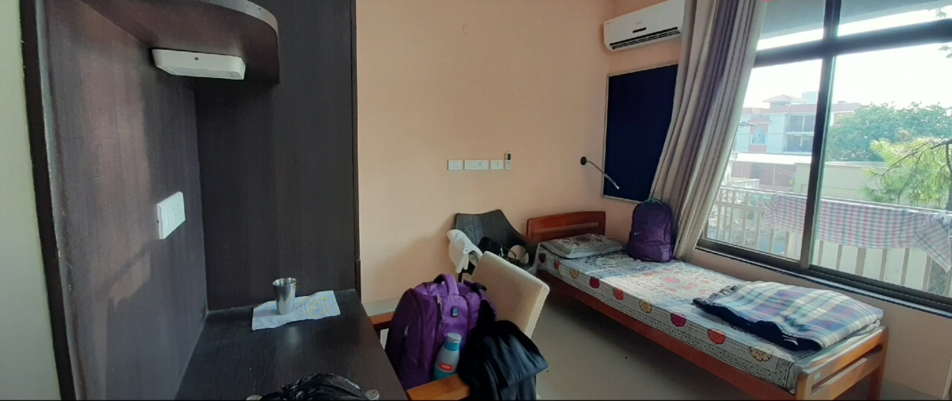
- Hostel: The campus has separate hostel facilities for boys and girls. The rooms are furnished with all necessary amenities and recreational facilities like sports, gymnasium, party hall, and many more.
- Others: The college services include laboratories, sports ground, gym, IT infrastructure, hospital, cafeteria, and workshops.

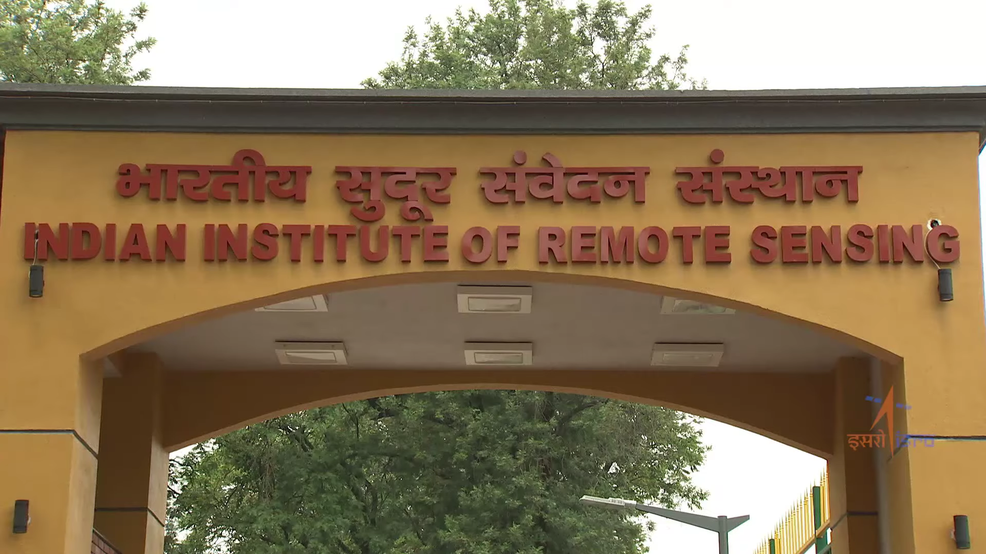
Gateway

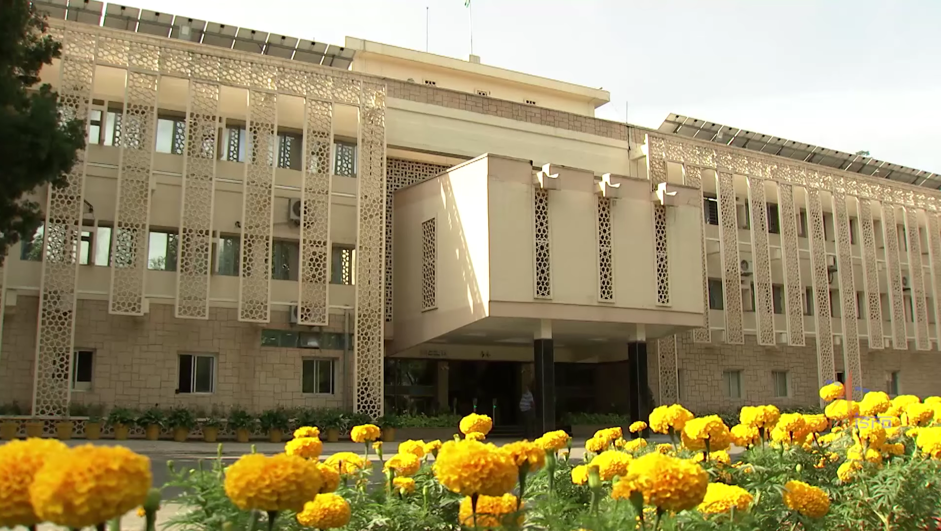
Academic Block

Hostel Room

Canteen
IIRS Dehradun FAQs
Ques. What courses are offered at IIRS Dehradun?
Ans. IIRS offers M.Tech, M.Sc, Postgraduate Diploma, Certificate Courses, and Online Outreach Programs. The institute has specializations like Remote Sensing, GIS, Satellite Data Analysis, and Earth Observation. Courses are designed for both students and professionals.
Ques. How to get admission to IIRS Dehradun?
Ans. Admission to M.Tech, M.Sc, and Postgraduate Diploma programs is based on an entrance test and interview conducted by IIRS Dehradun. Candidates can directly apply through the IIRS Dehradun official website. Application fee ranges from INR 1000 to INR 1500, depending on the course.
Ques. Are placements available at IIRS Dehradun?
Ans. Yes, IIRS has a placement cell that helps students to connect with the top organizations. Many graduates are placed in ISRO centers, GIS companies, and government agencies, and a few students pursue Ph.D or research roles in India or abroad, depending on their academic interests.
Ques. Are hostels available for students at IIRS Dehradun?
aNS. Yes, IIRS Dehradun provides separate hostel facilities for male and female students. Most rooms are single occupancy with attached bathrooms. The campus also has a dining hall, a common room, and internet access.
Ques. What is the PG Diploma course at IIRS Dehradun about?
Ans. The PG Diploma is a one-year course in the specializations of Remote Sensing, GIS, and Earth Science Applications. Candidates who have a graduation in Science, Agriculture, Engineering, or Geography can apply. The course includes theory, practicals, and a final project.

![Indian Institute of Remote Sensing - [IIRS]](https://image-static.collegedunia.com/public/college_data/images/logos/1487923189IndianSpaceResearchOrganisationLogo.svg1.png?h=71.7&w=71.7&mode=stretch)

.png?h=78&w=78&mode=stretch)
.png?h=78&w=78&mode=stretch)


.png?h=72&w=72&mode=stretch)
.png?h=72&w=72&mode=stretch)


Comments
Found 10 Comments
Scholarship to the students isn’t provided based on entrance exam score but rather based on merit in the last qualifying exam with 10% of the fees being waived off. Also, there is Golden Jubilee scholarship which you get based on highest GPA scored in last exam.
The admission fee is not disclosed, you can register and download the brochure for the detailed information. Application fee for only M.Tech. - Rs. 1,000/- (USD 100 for foreign nationals); For both M.Tech. and P.G. Diploma - Rs. 1,500/- (USD 150 for foreign nationals).
Indian Institute of Remote Sensing offers M.Sc in Geo-information Science and Earth Observation (specialization Geoinformatics) within the framework of the Joint Education Programme (JEP) of the Indian Institute of Remote Sensing. Admissions are on the basis of the entrance exam conducted by IIRS.
Selection for admission to PG Diploma course is based on the Entrance Test. Govt.-sponsored candidates are exempted from the entrance test. Foreign candidates are also exempted from entrance test but they have to appear for interview through online platforms.
In image processing, an image is converted into a digital form and certain operations are performed to extract some useful information from it. Check here for the courses and details at IIRS.
The IIRS entrance exam application form last date is March 31st 2023 and the exam date is not yet announced.
To get admission to IIRS Dehradun, you need to appear for the entrance exam conducted at the institute level. You will be called for admission if you clear the cut-off.
Yes, you are eligible to apply for the Master of Technology (M.Tech) in Remote Sensing & GIS as the minimum eligibility set requires one to have a bachelor’s degree in engineering from a recognized university with a minimum of 50% aggregate marks.
Given below are the details of the M.Sc. in GIS and Remote Sensing: