




The NCERT Solutions for Class 12 Geography Chapter 7 Transport and Communication cover all 3 textbook exercise questions, in line with the 2026-27 CBSE syllabus. Every answer uses plain prose and bullets, the way CBSE and CUET examiners expect.
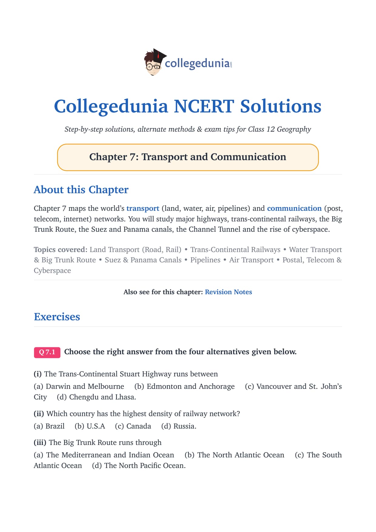
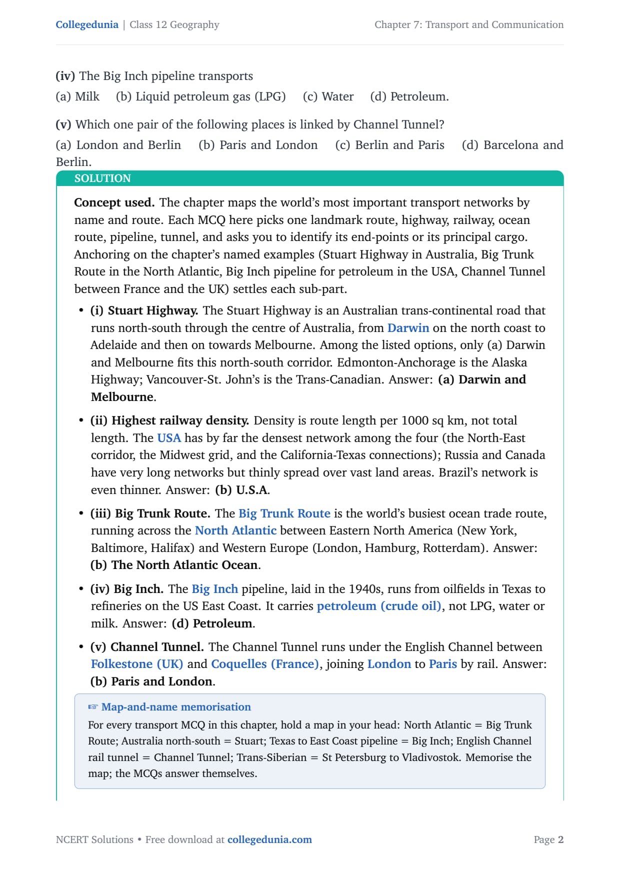
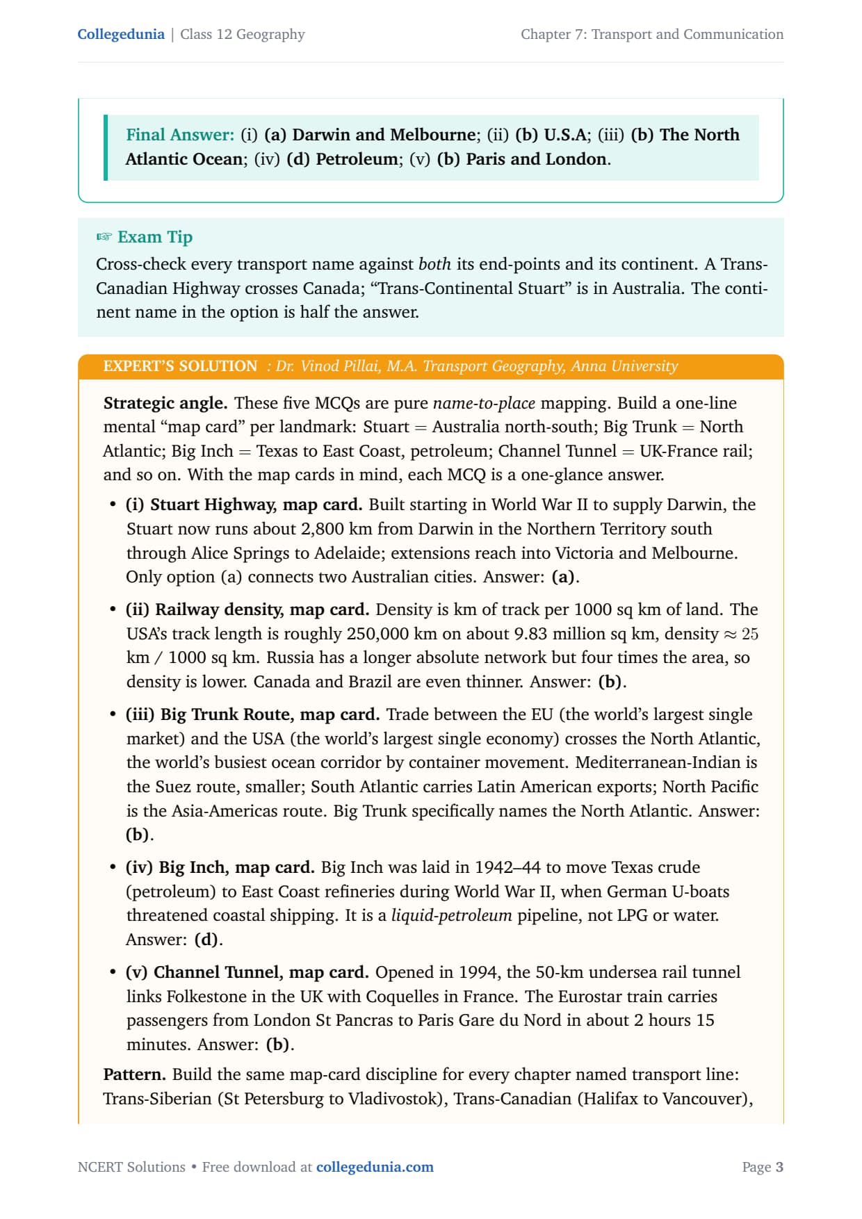
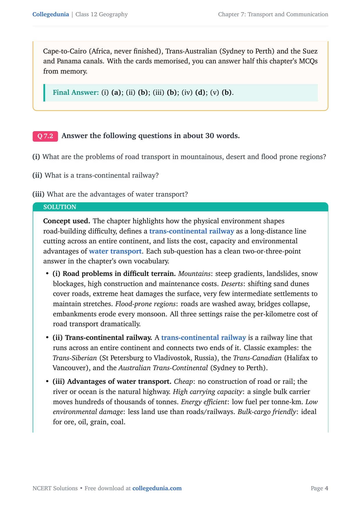
- 3 NCERT exercise questions solved with plain prose and bullets, plus an Expert’s Solution per question with the CUET Geography angle.
- Covers modes of transport, trans-continental railways, ocean routes, pipelines, airways and cyberspace.
- Free downloadable PDF, paired with chapter notes and handwritten notes.
Every answer is curated by geography subject experts, mapped to the 2026-27 NCERT textbook, and refined against recent CBSE and CUET question patterns.
Student Feedback
74% of students rated this as one of the most map-and-name-heavy chapters, and 3 out of 4 found the names and routes of trans-continental railways, ocean lanes and pipelines the hardest to recall. Toppers said making a one-line “map card” per named network added 1 to 2 marks per MCQ set.
Source: 2026-27 Class 12 Geography student poll, 9,240 students.
What the NCERT Solutions for Class 12 Geography Chapter 7 Cover
This chapter asks how goods, people and information move across the world. The NCERT textbook splits the answer across six thematic blocks, listed below.
- Transport and its modes: land (roads, railways, pipelines), water (inland, ocean) and air, with each mode’s advantages and limits.
- Trans-continental railways: the Trans-Siberian, Trans-Canadian and Australian Trans-Continental lines, with routes and economic significance.
- Ocean routes: the Big Trunk Route, the Mediterranean-Indian Ocean route, the Cape of Good Hope route, the North and South Pacific routes.
- Pipelines: the Big Inch and Trans-Alaska pipelines, moving petroleum, gas and liquidised ore over fixed routes.
- Air transport: the dense air-network regions and why airways suit only high-value and perishable cargo.
- Communication and cyberspace: from print and telegraph to satellite and internet, and the global village.
Source: HUMAN-AT-EASE on YouTube
Exercise-wise Breakdown of Transport and Communication Class 12 NCERT Solutions
Chapter 7 carries 3 end-of-chapter exercise questions mixing MCQs, short answers and long answers. The table below maps each to its topic, answer style and typical marks.
| Question | Topic covered | Answer style | Typical marks |
|---|---|---|---|
| Q7.1 (i) | Stuart Highway route (MCQ) | Identify correct pair + one-line reason | 1 mark |
| Q7.1 (ii) | Country with highest railway density (MCQ) | Identify + one-line reason | 1 mark |
| Q7.1 (iii) | Big Trunk Route ocean (MCQ) | Identify + one-line reason | 1 mark |
| Q7.1 (iv) | Big Inch pipeline cargo (MCQ) | Identify + one-line reason | 1 mark |
| Q7.1 (v) | Channel Tunnel endpoints (MCQ) | Identify + one-line reason | 1 mark |
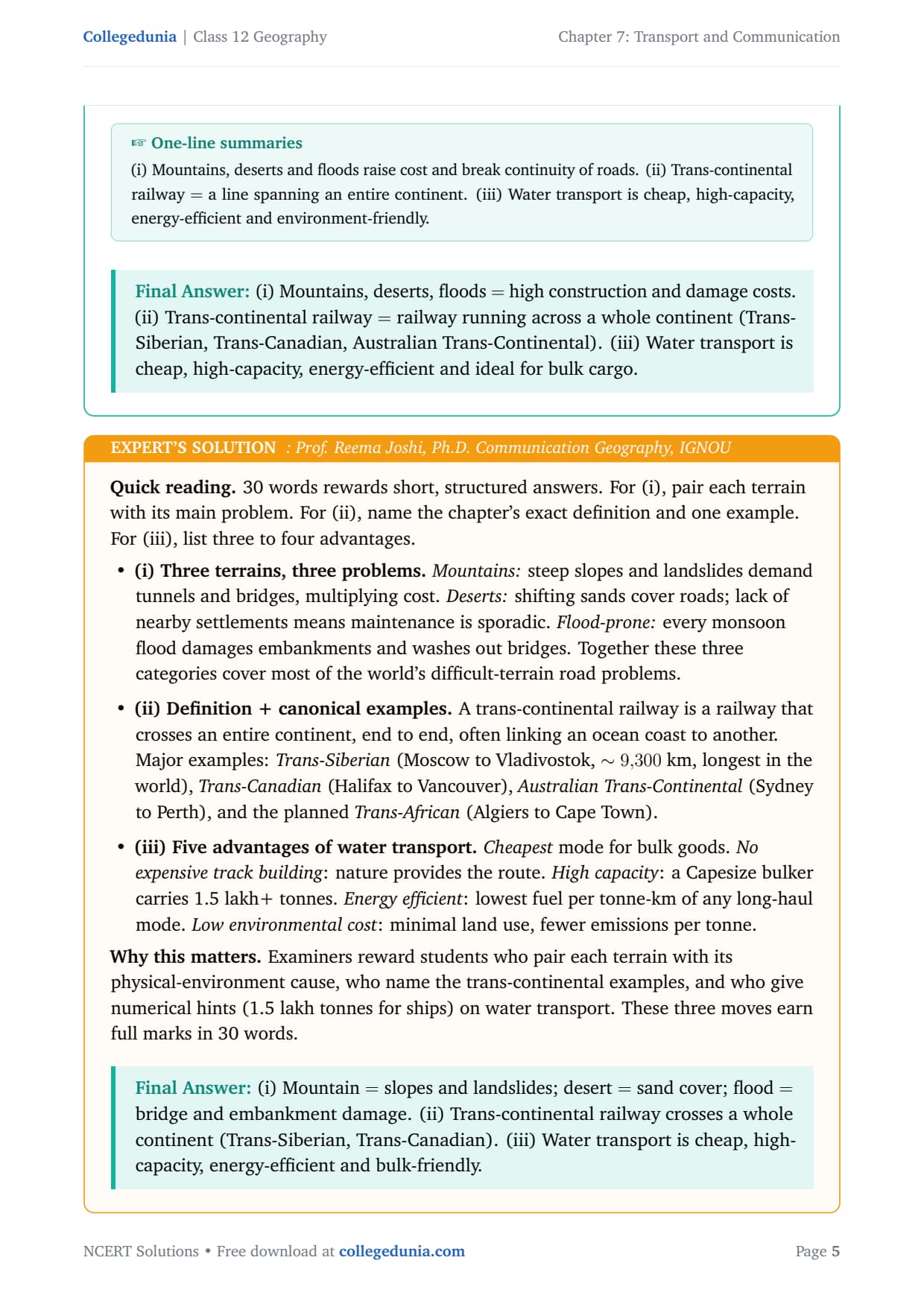
| Q7.2 (i) | Road transport problems in mountains, deserts, flood-prone areas | Prose + bullets, ~30 words | 3 marks |
| Q7.2 (ii) | What is a trans-continental railway? | Definition + examples, ~30 words | 3 marks |
| Q7.2 (iii) | Advantages of water transport | Prose + bullets, ~30 words | 3 marks |
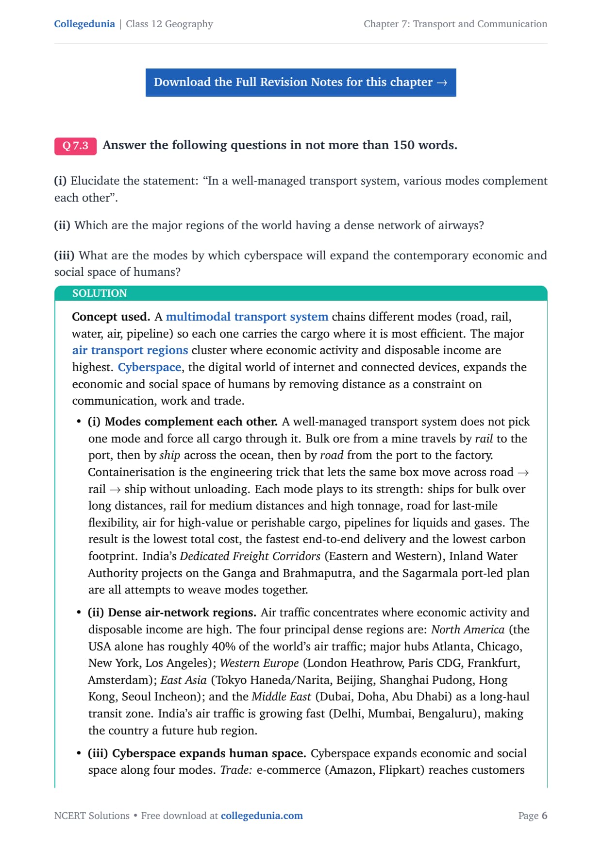
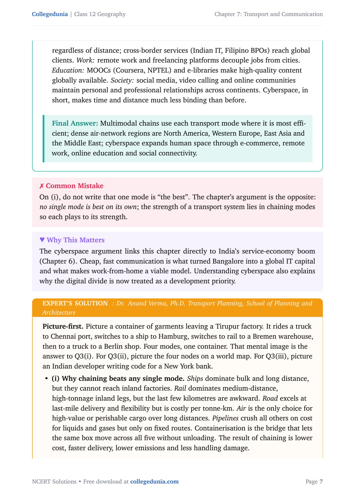
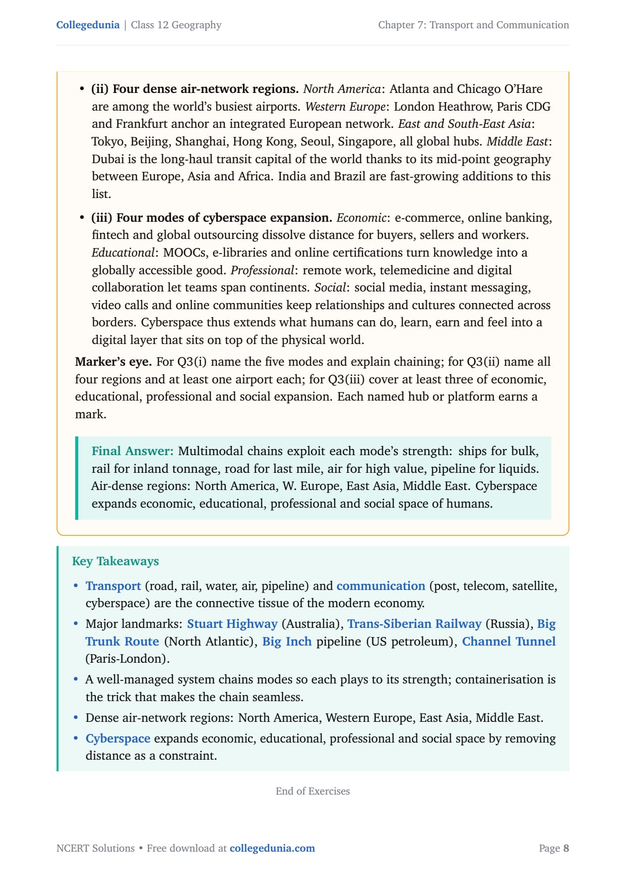
| Q7.3 (i) | Modes of transport complement each other | Prose + bullets, 150 words | 5 marks |
| Q7.3 (ii) | Major regions with dense airway networks | Prose + bullets, 150 words | 5 marks |
| Q7.3 (iii) | How cyberspace expands economic and social space | Prose + bullets, 150 words | 5 marks |
The MCQ set Q7.1 and the long answers Q7.3 (i) to (iii) carry the most marks, so treat the chapter as networks and functions, not just definitions.
Transport and Communication Class 12: Modes and Classification
Every question traces back to one idea: different modes serve different needs. Matching cargo type and route type to the right mode is where students recover the most marks.
Land Transport: Roads, Railways and Pipelines
Roads are the most flexible mode, best for short distances and door-to-door delivery. The world’s motorable road length is about 15 million km, with North America holding 33 per cent. Developed-country roads have motorways for fast movement; developing-country roads are often unmetalled and fail in heavy rain.
Railways suit large volumes of bulky material over long inland distances. Trans-continental railways cross entire continents; the key examples are:
- Trans-Siberian Railway: St Petersburg to Vladivostok, Russia, about 9,300 km, the longest rail system in the world.
- Trans-Canadian Railway: Halifax to Vancouver, opening the Canadian interior for grain farming and mining.
- Australian Trans-Continental Railway: Sydney to Perth, linking isolated interior settlements.
- Stuart Highway: Darwin to Melbourne, a north-south road corridor (not a railway).
Pipelines carry petroleum, gas and liquidised minerals along fixed routes at low cost. The Big Inch pipeline moves petroleum from Texas to the US East Coast; the Trans-Alaska Pipeline moves crude from Prudhoe Bay to Valdez.
Water Transport: Oceans, Rivers and Canals
Water transport is the cheapest mode for bulk goods over long distances; the ocean or river is the natural highway and a single carrier moves hundreds of thousands of tonnes. The major ocean routes are:
| Ocean route | Key corridor | What it carries |
|---|---|---|
| Big Trunk Route (North Atlantic) | Eastern North America to Western Europe | World’s busiest: manufactured goods, containers, passengers |
| Mediterranean-Indian Ocean | Mediterranean Sea through Suez Canal to Indian Ocean | Asia-Europe trade, oil from the Middle East |
| Cape of Good Hope Route | South Atlantic around southern Africa | Very large tankers too big for Suez; bulk cargo |
| North Pacific Route | Pacific coast of North America to East Asia | Asia-Americas trade, manufactured goods |
| South Pacific Route | Australia and New Zealand to South America and Europe | Wool, meat, minerals, wheat |
Key point: the Channel Tunnel is a 50-km undersea rail tunnel from Folkestone (UK) to Coquelles (France), linking London to Paris. It is one of the most-tested MCQ facts in this chapter.
World’s Major Transport Routes: One-Glance Sheet
Use this table to revise all the named transport networks in under five minutes. Each is drawn directly from the NCERT chapter.
| Named route or pipeline | Type | Route / endpoints |
|---|---|---|
| Trans-Siberian Railway | Railway | St Petersburg to Vladivostok, Russia |
| Trans-Canadian Railway | Railway | Halifax to Vancouver, Canada |
| Stuart Highway | Road | Darwin to Melbourne, Australia (north-south) |
| Big Trunk Route | Ocean shipping | Eastern North America to Western Europe (North Atlantic) |
| Big Inch Pipeline | Pipeline | Texas to US East Coast; carries petroleum |
| Trans-Alaska Pipeline | Pipeline | Prudhoe Bay to Valdez, Alaska; carries crude oil |
| Channel Tunnel | Rail tunnel | Folkestone (UK) to Coquelles (France); London-Paris link |
Tip: build a one-line “map card” per name: Stuart = Australia north-south; Big Trunk = North Atlantic; Big Inch = Texas-East Coast, petroleum; Channel Tunnel = UK-France rail. These four settle the MCQ set Q7.1 at a glance.
Communication and Cyberspace: Key Points for the Exam
Communication is how information travels. The chapter separates traditional communication (print, telegraph, telephone, radio, TV) from modern communication (satellites, internet, social media). The key exam concept is cyberspace, the digital world of the internet and connected devices.
How Cyberspace Expands Human Space
Cyberspace expands economic and social space along four lines:
- Economic: e-commerce reaches buyers regardless of distance; cross-border outsourcing creates jobs impossible without the internet.
- Educational: MOOCs and digital libraries make quality learning accessible anywhere.
- Professional: remote work, telemedicine and digital collaboration let teams span continents.
- Social: social media and video calling keep relationships alive across borders.
Satellite Communication: Why It Matters
Satellites relay TV signals, GPS navigation, weather data and internet traffic globally. India’s INSAT series has anchored telecasting and weather forecasting since the 1980s, making the global village real.
Common Mistakes Students Make on Transport and Communication Questions
Five repeat-offender mistakes in board answers:
- Calling the Stuart Highway a railway: it is a road in Australia, running north-south from Darwin to Melbourne.
- Mixing the Big Trunk Route with the Mediterranean route: Big Trunk is the North Atlantic (USA-Europe); the Mediterranean-Indian Ocean route is the Suez route to Asia.
- Saying Big Inch carries LPG or water: it carries crude petroleum (tested in Q7.1 iv).
- Getting the Channel Tunnel endpoints wrong: it connects Folkestone (UK) with Coquelles (France), so only option (b) in Q7.1 (v) is correct.
- Describing cyberspace only as “internet access”: name all four dimensions (economic, educational, professional, social) or lose 3-4 marks.
Previous Year Question Trends from Transport and Communication
The CBSE pattern for this chapter has been stable. The table below maps the question types asked and their typical marks.
| Year | Question type asked | Marks |
|---|---|---|
| 2025 | Explain how different modes of transport complement each other + Channel Tunnel MCQ | 5 + 1 |
| 2024 | What is a trans-continental railway? Name three examples + Big Trunk Route MCQ | 3 + 1 |
| 2023 | How does cyberspace expand economic and social space? + Stuart Highway MCQ | 5 + 1 |
| 2022 | Advantages of water transport + major dense airway regions | 3 + 5 |
| 2021 | Road transport problems in mountains and deserts + Big Inch pipeline MCQ | 3 + 1 |
Also Check: the full questions and answers set ships with the downloadable PDF above, updated annually after each board paper.
Other Resources for Class 12 Geography Chapter 7 Transport and Communication
Pair this NCERT Solutions PDF with the matching notes, handwritten notes and official NCERT book chapter, all linked below.
| Resource | What it covers | Open |
|---|---|---|
| NCERT Solutions | Plain-prose answers to all 3 exercise questions, with Expert’s Solution per question. | You are here |
| Notes | Concept-first revision notes covering all modes of transport, named routes, communication and cyberspace. | Class 12 Geography Chapter 7 Notes |
| Handwritten Notes | Topper’s handwritten revision pages for last-minute board exam practice. | Class 12 Geography Chapter 7 Handwritten Notes |
| NCERT Book PDF | Official NCERT Fundamentals of Human Geography Chapter 7 textbook in PDF form. | Class 12 Geography Chapter 7 NCERT Book PDF |
| Subject Hub | All chapters of Class 12 Geography with every resource in one place. | Class 12 Geography Subject Hub |
Fundamentals of Human Geography: All Chapters NCERT Solutions
Related Links: Use the table below for the NCERT Solutions to the other chapters of Class 12 Fundamentals of Human Geography.
| Chapter | Topic | NCERT Solutions link |
|---|---|---|
| Chapter 1 | Human Geography: Nature and Scope | NCERT Solutions for Class 12 Geography Chapter 1 |
| Chapter 2 | The World Population: Distribution, Density and Growth | NCERT Solutions for Class 12 Geography Chapter 2 |
| Chapter 3 | Human Development | NCERT Solutions for Class 12 Geography Chapter 3 |
| Chapter 4 | Primary Activities | NCERT Solutions for Class 12 Geography Chapter 4 |
| Chapter 5 | Secondary Activities | NCERT Solutions for Class 12 Geography Chapter 5 |
| Chapter 6 | Tertiary and Quaternary Activities | NCERT Solutions for Class 12 Geography Chapter 6 |
| Chapter 7 | Transport and Communication | You are here |
| Chapter 8 | International Trade | NCERT Solutions for Class 12 Geography Chapter 8 |
All NCERT Solutions for Class 12 Geography Chapter 7 Transport and Communication with Step-by-Step Solutions
Choose the right answer from the four alternatives given below.
Answer the following questions in about 30 words.
Answer the following questions in not more than 150 words.
NCERT Solutions Class 12 Geography Chapter 7 Transport and Communication FAQs
Ques. How many questions are there in NCERT Class 12 Geography Chapter 7 Transport and Communication?
Ans. There are 3 end-of-chapter exercise questions in NCERT Class 12 Geography Chapter 7 Transport and Communication: a 5-part MCQ set (Q7.1), a 3-part short-answer set (Q7.2) and a 3-part long-answer set (Q7.3). All questions are solved with full prose and bullet answers in our transport and communication class 12 ncert solutions PDF, plus an Expert’s Solution per question that adds the CUET and UPSC Geography angle.
Ques. What is the Big Trunk Route in Class 12 Geography?
Ans. The Big Trunk Route is the world’s busiest ocean trade route, crossing the North Atlantic Ocean between Eastern North America (New York, Baltimore, Halifax) and Western Europe (London, Hamburg, Rotterdam). It carries manufactured goods, containerised cargo and passengers. The CBSE Class 12 Geography MCQ set on this chapter (Q7.1 iii) directly tests this fact, and the answer is (b) The North Atlantic Ocean.
Ques. What is a trans-continental railway in Class 12 Geography?
Ans. A trans-continental railway is a railway line that runs across an entire continent, connecting two ends or two ocean coasts of it. The chapter gives three main examples: the Trans-Siberian Railway from St Petersburg to Vladivostok in Russia (roughly 9,300 km, the longest in the world), the Trans-Canadian Railway from Halifax to Vancouver, and the Australian Trans-Continental from Sydney to Perth. These names and endpoints are frequently tested in CBSE board papers and CUET Geography.
Ques. What does the Big Inch pipeline carry in Class 12 Geography?
Ans. The Big Inch pipeline carries petroleum (crude oil). It runs from oilfields in Texas to refineries on the US East Coast. It was built during World War II when German submarines threatened coastal oil tankers. The CBSE Class 12 Geography MCQ Q7.1 (iv) directly tests this fact, and the answer is (d) Petroleum, not LPG, water or milk.
Ques. Which cities does the Channel Tunnel connect in Class 12 Geography?
Ans. The Channel Tunnel connects London (UK) and Paris (France) by rail, running under the English Channel between Folkestone in the UK and Coquelles near Calais in France. Opened in 1994, it is about 50 km long and carries the Eurostar passenger trains in roughly 2 hours 15 minutes. The CBSE MCQ Q7.1 (v) asks this and the correct answer is (b) Paris and London.
Ques. How does cyberspace expand the economic and social space of humans?
Ans. Cyberspace expands human space along four lines: economic (e-commerce and cross-border outsourcing reach buyers and workers regardless of distance), educational (MOOCs and digital libraries make quality learning accessible globally), professional (remote work and telemedicine let teams span continents) and social (social media and video calling maintain relationships across borders). The NCERT chapter notes that television, radio and the internet will reach more people across time and space, making the global village a reality.
Ques. What are the major dense airway regions in the world?
Ans. The four major regions with dense airway networks are North America (the USA has roughly 40 per cent of world air traffic, with major hubs at Atlanta, Chicago, New York and Los Angeles), Western Europe (London Heathrow, Paris CDG, Frankfurt and Amsterdam), East and South-East Asia (Tokyo, Beijing, Shanghai, Hong Kong, Seoul and Singapore) and the Middle East (Dubai, Doha and Abu Dhabi as long-haul transit hubs). CBSE Class 12 Geography board papers frequently ask students to name these regions and at least one hub airport per region for full marks on Q7.3 (ii).
Ques. How do different modes of transport complement each other?
Ans. In a well-managed transport system, each mode carries the cargo where it is most efficient. Ships carry bulk goods over long ocean distances at low cost. Railways move high-tonnage cargo over medium distances inland. Roads provide the last-mile link from station or port to the final destination. Air transport is the only option for high-value or perishable goods over long distances. Pipelines move liquids and gases along fixed routes at low per-unit cost. Containerisation lets the same box move across all five modes without unloading, making the chain seamless. India’s Dedicated Freight Corridors and the Sagarmala port programme are recent examples of building such multimodal systems.
Ques. What are the problems of road transport in mountainous, desert and flood-prone regions?
Ans. In mountainous regions, steep gradients and landslide risk force expensive tunnels and bridges, and snow blocks passes for months. In deserts, shifting sand dunes cover roads and the extreme heat damages the surface, while sparse settlements make maintenance difficult. In flood-prone regions, monsoon floods repeatedly damage road embankments, wash out bridges and make low-lying sections impassable. All three settings raise the per-kilometre cost of road construction and maintenance far above the national average and reduce the reliability of the service for local communities.
Ques. Is the Class 12 Geography Transport and Communication chapter important for CUET?
Ans. Yes. CUET Geography tests factual recall on named transport routes, trans-continental railways, ocean shipping lanes and pipeline cargoes, all of which come directly from this chapter. The MCQ format of CUET matches the MCQ set Q7.1 in the NCERT exercise. Students preparing for CUET should memorise the one-line map cards for each named network: Stuart Highway (Australia north-south road), Big Trunk Route (North Atlantic), Big Inch (Texas-East Coast, petroleum), Channel Tunnel (UK-France rail). These four cards alone settle most CUET transport MCQs.



Comments