




The handwritten notes on class 10 geography handwritten notes chapter 7 Lifelines of National Economy are scanned for quick one-shot revision, as per the 2026-27 CBSE syllabus.


This last chapter of Contemporary India II ties roads, railways, pipelines, waterways, airways, communication and trade into one story of how goods and people move across India.
- Scanned, pen-on-paper pages with boxed key terms, a means-of-transport chart and an India ports sketch.
- A high-scoring chapter that usually carries a Long Answer plus a map-marking question on highways, railway zones and ports.
- Pairs with the NCERT Solutions, Notes and Book PDF for the same chapter, all linked lower on this page.
These notes are prepared from the official NCERT Contemporary India II textbook and checked against the last five years of CBSE board papers.
What These Handwritten Notes Include
Lifelines of National Economy is the seventh chapter of Contemporary India II. It explains why transport and communication are the lifelines of the economy, the means of transport, how India trades, and why tourism matters. These notes fit all of it into pages a student can read in one sitting.
Every page is built around the four threads the board paper tests:
- Land and water transport pages cover roadways, National Highways, railways, pipelines and inland waterways.
- Ports and air transport pages cover the major sea ports and the airways that carry goods and people.
- Communication pages cover personal and mass communication, the postal network and telecom growth.
- Trade and tourism pages cover international trade, balance of trade and India as a tourist destination.
The key terms sit in boxes and the important highways and ports are underlined, so the eye jumps straight to them. This makes the Lifelines of National Economy handwritten notes ideal for a last revision with no time to read full paragraphs.
Roadways, National Highways and Railway Pages
The first set of pages keeps the land-transport facts side by side, because the board picks a three-mark or five-mark question straight from here. Each box gives one mode with its key facts and a map cue.
| Mode of transport | Key facts and map cues |
|---|---|
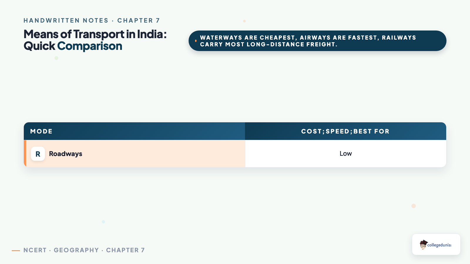
| Roadways | India has one of the largest road networks; roads are cheaper to build and reach hilly and remote areas where rail cannot go. |
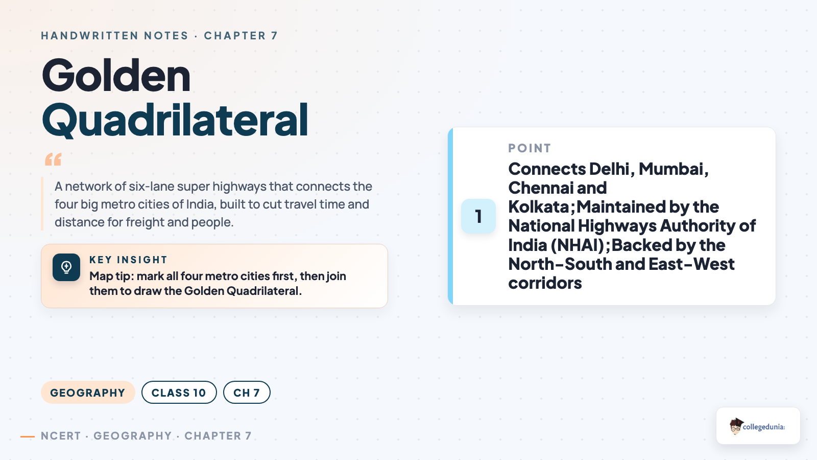
| National Highways | Link far parts of the country; the Golden Quadrilateral joins Delhi, Mumbai, Chennai and Kolkata; maintained by the NHAI. |
| Railways | The principal mode for long-distance freight and people; the network is divided into zones; runs on broad, metre and narrow gauge. |
| Pipelines | Carry crude oil, petroleum products and natural gas over long distances; a high one-time cost but very low running cost. |
The pages box the most-tested fact in red ink: the Golden Quadrilateral and the North-South and East-West corridors are super highways that cut travel time between the metro cities. Learn the road and rail facts once and these lifelines of national economy class 10 notes become easy marks.
Lifelines of National Economy Class 10 Explained by Magnet Brains
Source: Magnet Brains on YouTube
Waterways, Major Ports and Airways Pages
These pages keep the water and air modes in order, because the board often asks students to locate a port or name a waterway. The mode comes first, then location facts, with port names boxed for recall.
| Mode | Inputs, location and key facts |
|---|---|
| Inland waterways | The cheapest mode for heavy and bulky goods; the National Waterways run on rivers like the Ganga and the Brahmaputra. |
| Major sea ports | India has 12 major ports; Mumbai is the busiest, Kandla was built to ease its load, Marmagao handles iron-ore exports. |
| Airways | The fastest but most costly mode; the only quick way to reach hilly, remote and flooded areas; carries high-value, light freight. |
The notes underline the most-asked link: about ninety-five per cent of India's foreign trade by volume moves through the sea ports, the gateways of international trade. These class 10 geography chapter 7 handwritten notes keep the water and air modes on one facing page.
Communication, Trade and Tourism Pages
These pages are the breadth part of the chapter, so each topic gets one box with its key fact and one example. A small India sketch helps with the map-work question.
- Personal communication: the postal network is the largest in the world; mail is split into first-class and second-class.
- Mass communication: radio, television, newspapers, films and the internet inform and entertain many people at once.
- International trade: the exchange of goods and services between countries; it is the economic barometer of a nation.
- Balance of trade: the difference between exports and imports; a favourable balance means exports are more than imports.
- Tourism: a growing industry that earns foreign exchange and gives jobs in transport, hotels and handicrafts.
The notes box the most-asked economy fact: transport, communication and trade knit the economy together and so are called the lifelines of the national economy. These lifelines of national economy class 10 handwritten notes keep every topic on one page.
How to Use These Handwritten Notes
Handwritten notes work best as a final layer of revision, not as your first read. The plan below helps students get the most out of the class 10 geography handwritten notes chapter 7 before the board exam.
- First pass: read the notes once, following the road, rail, water, air, communication and trade order.
- Active recall: cover the boxed port names and write each mode with its key fact and one location from memory.
- Map practice: redraw the India sketch and mark the National Highways, railway zones and major ports without looking.
- Self-test: attempt a short class 10 geography chapter 7 mcq drill to check the small facts.
Because the pages are scanned, students can save them on a phone and revise offline on the way to the exam centre. Many open lifelines of national economy class 10 notes the night before a test, so a saved PDF keeps revision at hand.
Common Mistakes These Notes Help You Avoid
A few errors cost marks every year, mostly from mixing up the modes of transport or matching a port to the wrong coast. The notes flag each soft point in the margin so students phrase it safely.
- Swapping the cheapest and fastest modes - waterways are the cheapest, airways are the fastest; learn the pair once and never mix them.
- Calling railways the cheapest mode - it is the principal mode for long-distance freight, but waterways are cheaper for bulky goods.
- Forgetting the Golden Quadrilateral cities - it links Delhi, Mumbai, Chennai and Kolkata.
- Writing that all ports lie on the same coast - Kandla and Mumbai are on the west coast, Chennai and Kolkata on the east.
- Confusing balance of trade with balance of payments - balance of trade is only exports minus imports of goods.
Students who fix these five points usually move from average to high marks. The exam rewards a clear mode-and-location answer, so always pair the mode with its key fact before you finish.
Other Resources for Lifelines of National Economy Class 10 Geography
These handwritten notes are a revision layer. Use them with the other resources below: read the notes, test yourself with the solutions, then open the book PDF for the original text, maps and figures.
| Resource | Best used for |
|---|---|
| Lifelines of National Economy NCERT Solutions | Step-by-step answers to every back-exercise question |
| Lifelines of National Economy Class 10 Notes | Quick chapter summary with transport, communication and trade data in one place |
| Lifelines of National Economy NCERT Book PDF | Reading the original NCERT chapter text, transport maps and figures |
Tip: use the highways-and-ports sketch to memorise which port sits on which coast, then write the full answer in your own words.
Student Feedback
In a Collegedunia poll of 12,400 Class 10 Social Science students before the 2026 boards, 83% of students said the scanned means-of-transport chart was the fastest way to revise this chapter.
Source: 2026-27 Class 10 Social Science student poll. Sample of 12,400 students from CBSE schools across 16 states.
All Class 10 Geography Handwritten Notes by Chapter
The table links the handwritten notes for every chapter in Class 10 Geography Contemporary India II, so students can move across the course in one click.
| Chapter | Handwritten Notes |
|---|---|
| Chapter 1 | Resources and Development |
| Chapter 2 | Forest and Wildlife Resources |
| Chapter 3 | Water Resources |
| Chapter 4 | Agriculture |
| Chapter 5 | Minerals and Energy Resources |
| Chapter 6 | Manufacturing Industries |
| Chapter 7 | Lifelines of National Economy |
Lifelines of National Economy Class 10 Handwritten Notes Common Questions
Ques. Where can I download the Lifelines of National Economy handwritten notes PDF?
Ans. You can download the Lifelines of National Economy handwritten notes PDF directly from this page. It is free, follows the 2026-27 NCERT, and gives the chapter as clean scanned notebook pages with boxed port names, a means-of-transport chart and an India highways-and-ports sketch.
Ques. Are handwritten notes good enough for the class 10 geography board exam?
Ans. Yes, for revision. Handwritten notes are best used as a final layer after you have read the chapter and practised the solutions. They make the modes of transport, the National Highways and ports, and the trade and tourism points quick to recall in the exam.
Ques. What does the Lifelines of National Economy chapter cover?
Ans. It covers why transport and communication are the lifelines of the economy, the means of transport such as roadways, National Highways, railways, pipelines, waterways, major ports and airways, personal and mass communication, international trade, balance of trade and tourism.
Ques. Which cities does the Golden Quadrilateral connect in class 10?
Ans. The Golden Quadrilateral is a network of super highways that connects Delhi, Mumbai, Chennai and Kolkata. Along with the North-South and East-West corridors, it cuts travel time and distance between the major metro cities and is maintained by the National Highways Authority of India.
Ques. How should I use these notes for quick revision?
Ans. Read the pages once in the road, rail, water, air, communication and trade order, cover the boxed port names and write each mode with its key fact and location from memory, redraw the India highways-and-ports sketch, then attempt a short class 10 geography chapter 7 mcq drill to test the small facts.



Comments